
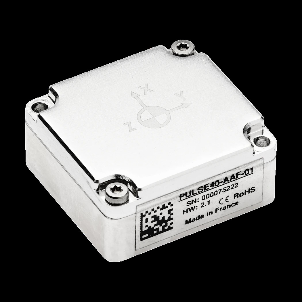
SBG Systems launches the new Pulse-40 OEM with tactical-grade performance, enhanced resilience, and built-in vibration intelligence
The next-generation Pulse-40 OEM preserves its industry-leading SWaP characteristics while delivering improved inertial performance, enhanced vibration and EMC resilience, a ±4000°/s gyroscope range, integrated magnetometers, and real-time vibration spectrum monitoring up to 8 kHz.
SBG Systems today announced the launch of the new Pulse-40 OEM, the latest generation of its miniature tactical-grade Inertial Measurement Unit (IMU). Built on the success of the original Pulse-40, the new model delivers significant improvements in performance, environmental robustness, manufacturing scalability, and integrated vibration spectrum monitoring while preserving the compact size, low weight, ultra-low power consumption, and seamless integration capabilities that have made the Pulse-40 a trusted solution for demanding navigation, stabilization, and guidance applications.
Designed for engineers who require uncompromising inertial performance in space-constrained systems, the version 2 of the Pulse-40 OEM maintains full form and function compatibility with existing Pulse-40 integrations, allowing customers to upgrade to the latest generation with minimal system redesign.
"The defense market is increasingly looking for navigation and stabilization solutions that fit into smaller platforms without compromising performance," said Gaël Bielecki, Business Development Manager – Defense at SBG Systems. "The new Pulse-40 OEM delivers exactly that combination. Its unique blend of tactical-grade performance, vibration resilience, low SWaP, and integrated vibration monitoring makes it particularly well suited for guided rockets, precision-guided glide bombs, loitering munitions, and next-generation optronic systems operating in demanding environments."
Preserving the Benefits that made Pulse-40 Successful.
The new version of Pulse-40 OEM retains the core strengths that established the Pulse-40 as one of the industry's most compact tactical-grade IMUs.
With dimensions of only 30×28×13.3 mm, a weight of just 19 grams, and typical power consumption of only 0.3 W, the Pulse-40 OEM continues to set the benchmark for Size, Weight, Power, and Cost (SWaP-C) efficiency.
The new generation also preserves the architecture that made Pulse-40 unique, including:
• Tactical-grade inertial performance in an OEM form factor
• Ultra-low-noise MEMS sensing
• Continuous Built-In Test (CBIT) capabilities
• High-integrity redundant sensor cluster architecture
• High data output rates up to 2 kHz and advanced synchronization capabilities
These characteristics enable system designers to integrate high-end inertial sensing into platforms where every gram, millimeter, and watt matter.
Higher Performance for Demanding Applications
Pulse-40 OEM introduces multiple enhancements to gyroscope performance, including improved bias stability, improved long-term bias repeatability, and enhanced scale factor accuracy. These improvements deliver greater measurement of precision and consistency across a wide range of operating conditions.
The IMU also introduces a new ±4000°/s gyroscope range, doubling the maximum angular rate supported by previous high-range Pulse-40 variants. This expanded dynamic range enables accurate measurement of fast rotational motion in demanding applications such as guided munitions while maintaining the performance expected from a tactical-grade sensor.
To further expand functionality, Pulse-40 OEM now integrates three-axis magnetometers, providing a complete 9-DoF sensing solution within the same compact footprint.
Faster Measurements with Ultra-Low Latency
Modern guidance, stabilization, and control systems increasingly depend on low-latency sensor data.
The new Pulse-40 OEM introduces an optimized processing architecture capable of delivering motion-to-output latency as low as 1.5 milliseconds, helping engineers reduce control-loop delays and improve overall system responsiveness. Combined with output rates up to 2 kHz, the new architecture provides rapid access to inertial measurements for time-critical applications.
Enhanced Resilience to Real-World Conditions
Environmental resilience was a key design objective for the Pulse-40 OEM.
The new hardware architecture incorporates an integrated vibration damping system that significantly improves immunity to high-frequency vibrations. At the same time, an updated electrical design improves resistance to electromagnetic disturbances, delivering greater robustness in challenging EMC environments.
Together, these enhancements help preserve inertial performance in operating conditions where vibration and electromagnetic interference can negatively impact measurement quality and navigation accuracy.
Introducing Built-In Vibration Intelligence
One of the most innovative capabilities of the new Pulse-40 OEM is its integrated vibration monitoring technology.
Beyond providing inertial measurements, the IMU continuously analyzes the vibration environment and delivers a complete vibration spectrum from 4 Hz to 8 kHz directly from the sensor. This unique functionality gives engineers real-time insight into the mechanical environment surrounding their platform without requiring dedicated external instrumentation. Available in real time, the feature provides both raw FFT outputs and summarized vibration reports, allowing users to characterize vibration sources, accelerate integration and qualification activities, validate mechanical designs, and simplify troubleshooting throughout the system lifecycle.
"Many of our customers operate in environments where vibrations and electromagnetic disturbances can be just as challenging as achieving the required inertial performance," said Yoann Plenet, Head of Product Management at SBG Systems. "The new Pulse-40 OEM addresses both challenges. This new platform is more resilient to harsh operating conditions, and its unique vibration spectrum monitoring feature gives engineers direct insight into the vibration environment up to 8 kHz. This not only helps preserve navigation performance but also dramatically simplifies integration, testing, and troubleshooting."
Designed for Scalable Production
The new Pulse-40 OEM features a redesigned hardware platform optimized for manufacturing efficiency and production scalability.
The new design simplifies manufacturing while maintaining the performance, quality, and consistency expected from tactical-grade inertial sensors. These improvements enable SBG Systems to support larger deployment programs while continuing to provide the reliability required by mission-critical applications.
Seamless Upgrade Path for Existing Integrations
For current Pulse-40 users, transitioning to the new generation is straightforward.
Pulse-40 OEM maintains the same form factor, mechanical interfaces, and software integration philosophy as the original Pulse-40, enabling customers to benefit from improved performance and robustness while minimizing redesign effort and qualification risk.
Availability
The new Pulse-40 OEM is now available for customer evaluation and integration programs.
For additional information, visit the SBG Systems website or contact the SBG Systems sales team.

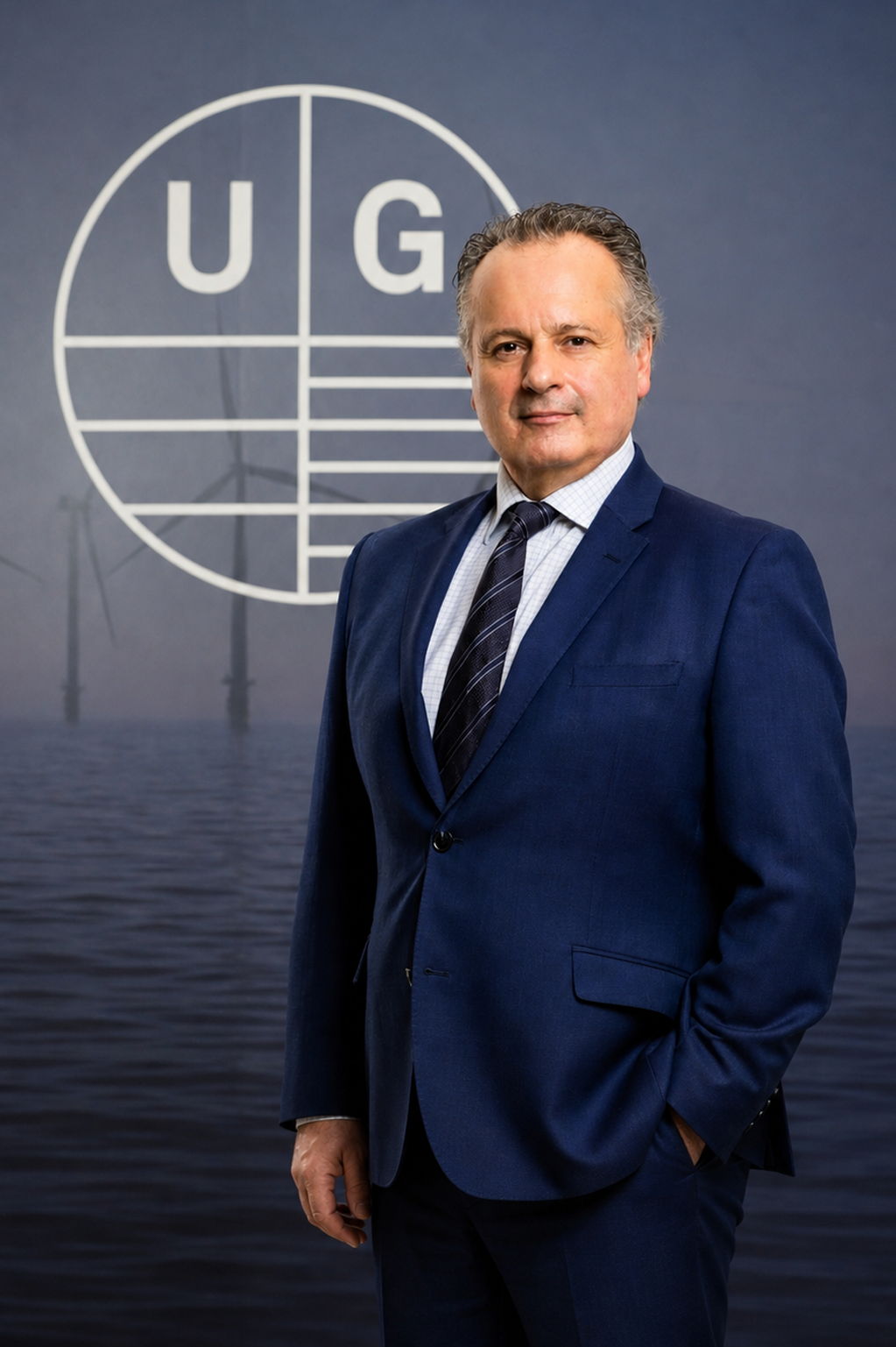
Unique Group appoints new Chief Executive Officer
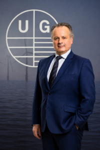
Unique Group, global leaders in subsea technologies and engineering, has announced the appointment of Giovanni Corbetta as the new Chief Executive Officer (CEO), effective from July 1, 2026.
Giovanni brings more than three decades of leadership experience across the offshore energy, subsea, marine services, engineering, and defence sectors. Throughout his career, he has successfully led businesses across Europe, the Middle East, Asia and the Americas, building a strong track record in operational excellence, business transformation, acquisition integration, and sustainable growth.
Most recently, he held several senior leadership roles within James Fisher & Sons plc, including Strategic Advisor to the CEO, Head of Business Excellence, Managing Director of the Marine Contracting Division and Managing Director of JFD. In these positions, he was responsible for offshore and subsea operations, production and manufacturing, engineering services, project delivery, and international business performance.
Prior to this, Giovanni held senior leadership positions within DOF Subsea, Hallin Marine and Saipem where he gained extensive experience managing complex global operations and delivering critical engineering projects in demanding marine environments.
His technical and operational expertise spans subsea technologies, marine services, diving operations, offshore engineering, manufacturing, project execution and international operations management.
Commenting on the appointment, Harry Gandhi, Chairman and Founder of Unique Group, said: "Giovanni's combination of global leadership experience, deep industry expertise and proven ability to drive operational excellence make him exceptionally well positioned to lead Unique Group into its next phase of growth. He demonstrated a strong alignment with the values that have shaped our company for more than three decades, and we are delighted to welcome him to the team."
Giovanni added: "I am honoured to join Unique Group at such an exciting point in its journey. The company has built an outstanding reputation for innovation, customer focus and technical excellence, supported by a culture rooted in trust, integrity and entrepreneurship. I look forward to working closely with our talented teams around the world to build on these strong foundations, strengthen our market position and continue delivering value for our customers, partners and stakeholders."
Giovanni's appointment reflects Unique Group's commitment to continued growth, innovation and operational excellence while maintaining the values, entrepreneurial spirit and customer-centric approach that have been central to the company's success since its founding in 1993.
With extensive industry experience and a strong cultural fit, Giovanni is well positioned to lead Unique Group through its next phase of development, building on the company's established reputation as a trusted partner to customers across the offshore energy, subsea, marine and defence sectors.
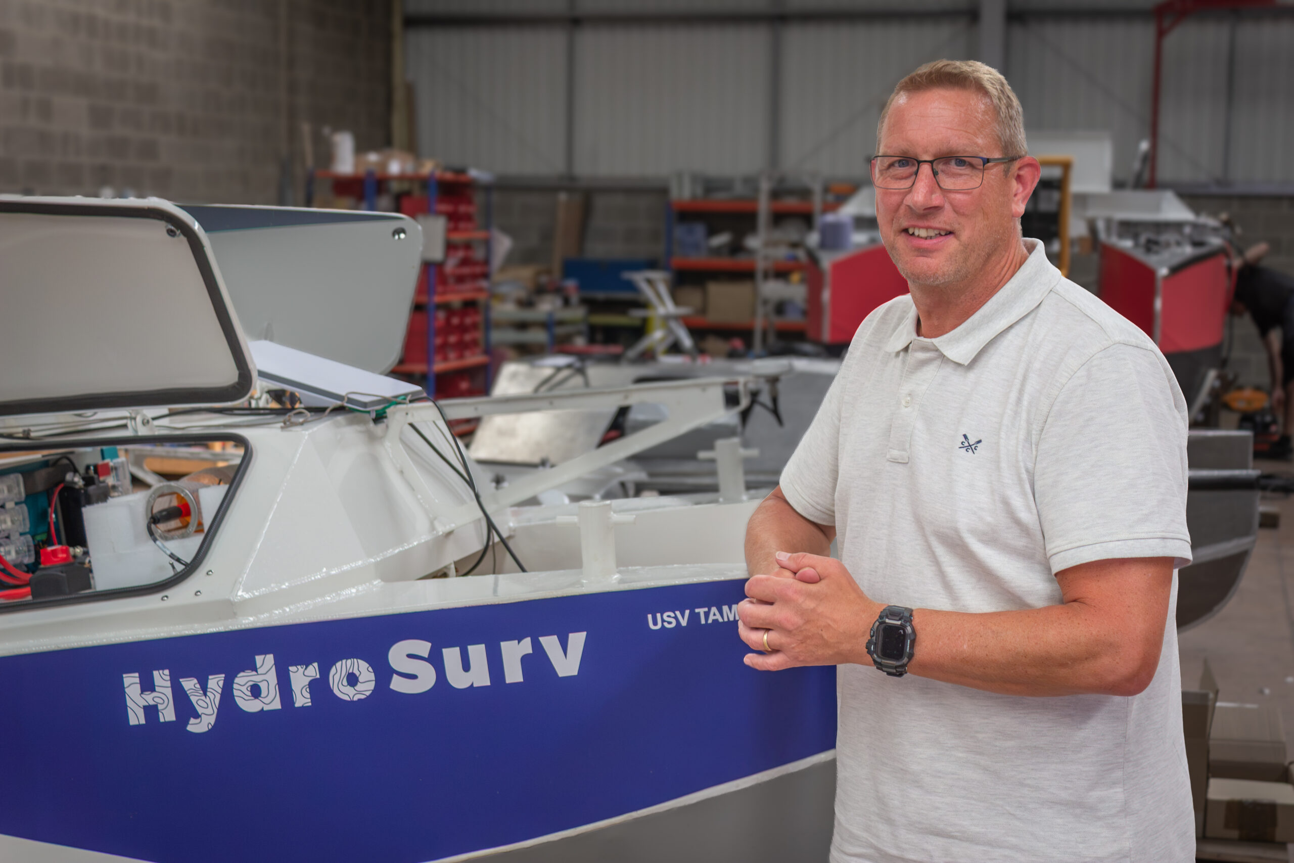
HydroSurv announces Board appointment of Maritime Industry Leader, Mark Burnett
HydroSurv has announced the appointment of experienced maritime industry leader Mark Burnett as Non-Executive Director, strengthening the company's Board as it enters its next phase of development.
Since 2019, HydroSurv has been on a journey to establish itself as a trusted provider of Uncrewed Surface Vessel (USV) solutions, supporting organisations across offshore energy, ports and harbours, shoreline management and maritime security.
As industrial adoption of uncrewed maritime capabilities accelerates, the company is investing beyond its engineering and product development into the wider leadership structures that will support HydroSurv’s growth ambitions.
Mark joins HydroSurv with more than three decades of executive leadership experience across the marine, offshore, environmental technology and maritime autonomy sectors. Throughout his career, he has led organisations through periods of operational transformation, commercial development and strategic change, earning a reputation for combining business leadership with a practical understanding of technology, innovation and organisational development. This combination of executive leadership and strategic advisory experience brings valuable perspective to HydroSurv as the company continues to broaden its capabilities and market presence.
Alongside his consultancy work, Mark is an active advocate for regional maritime innovation. As Chair of the North Devon & Torridge Maritime Network and a Board Member (Marine) on the Northern Devon Economy, Innovation & Skills Action Board, he works closely with industry, academia and government to encourage collaboration, champion innovation and support the continued development of the South West's maritime economy. His passion for developing sustainable maritime capability and fostering meaningful partnerships closely aligns with HydroSurv's own values of ocean and environmental stewardship, and intentional innovation.
Mark's appointment comes at an important point in HydroSurv's journey, with the company continuing to expand its commercial operations, strategic partnerships and international presence. Working with the Board and leadership, Mark will provide independent guidance, strategic challenge and experienced insight, helping to strengthen corporate governance and contribute to the company's long-term strategic direction.
Having known HydroSurv’s Founder & CEO David Hull for several years through the commercial maritime sector, Mark has watched the company establish itself as one of the UK's leading providers of integrated commercial USV solutions.
Speaking about his appointment, Mark said:
"I've known David and HydroSurv for several years, and during that time I've watched the business grow with a clear sense of purpose, professionalism and ambition. I've always believed in working with people who share the same values, and that has always been important to me throughout my career. HydroSurv has built an exceptional team, a strong reputation and an exciting platform for future growth. I'm delighted to be joining the Board and look forward to putting my shoulder to the wheel, sharing my experience where I can and supporting the team as HydroSurv continues to build on everything it has already achieved."
David Hull, Founder and CEO of HydroSurv, said:
“As HydroSurv has grown, we've come to recognise that every Board appointment must bring genuine strategic value, underpinned by deep sector expertise and a shared vision. Mark Burnett exemplifies the exact calibre of strategic leader we have been seeking. His extensive experience across the ocean industries, combined with a strong understanding of technology adoption and business growth, will be invaluable as we enter our next phase of development. Strengthening our Board with experienced leaders ensures we have the governance, strategic oversight and commercial perspective needed to scale responsibly, while continuing to deliver innovative solutions for our customers worldwide.”
DEA acquires the new SeaBat T51-R Integrated Dual Head
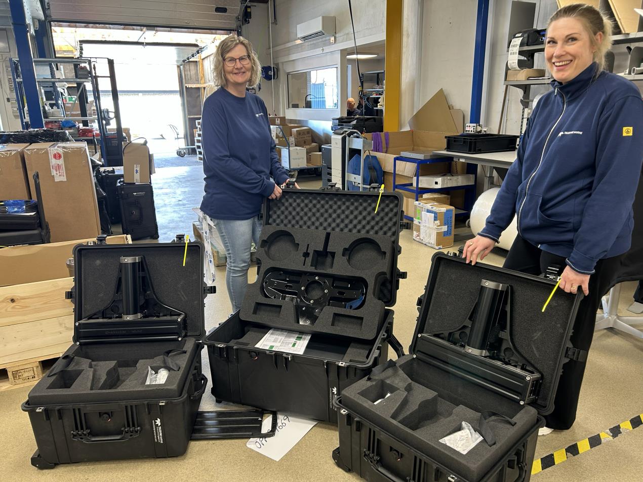
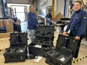 Teledyne Marine has announced that David Evans and Associates (DEA), US consulting firm, has taken delivery of the recently launched SeaBat T51-R Integrated Dual Head (IDH) system, marking an important early adoption milestone following the system’s launch at Oi2026 and highlights growing interest in the SeaBat T51 series across the US market.
The announcement also underscores a long-standing relationship between DEA and Teledyne RESON, for more than three decades DEA has collaborated with RESON on pioneering projects, system developments and major survey projects across the US. DEA was among the first to deploy Teledyne’s multibeam systems for shallow water bathymetry back in the early1990’s.
DEA’s use of RESON’s sensors has evolved from the early applications of the SeaBat 9001 through to the SeaBat T51 and Integrated Dual Head solutions in use today. Applications include coastal and inland infrastructure inspections, site characterization and habitat mapping using normalized backscatter, navigation and nautical charting surveys, civil works design and construction surveys, cable and pipeline route surveys and inspection, and contaminated site remedial investigation and design surveys.
"The data quality of Teledyne's technology is what keeps us coming back," said Jon Dasler, Senior Vice President, DEA. "With the SeaBat T51-R IDH we’re seeing a clear step forward in both data density, unprecedented resolution, and survey efficiency. That combination is critical for the kind of high-resolution work we do and we're looking forward to deploying the system in operations."
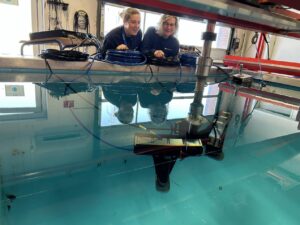
The SeaBat T51-R Integrated Dual Head system enables full-rate dual head performance from a single integrated platform, allowing surveyors to achieve wider swath coverage and significantly increased data density without reducing vessel speed. By removing the need for staggered pinging, the system helps maximise efficiency while maintaining the high-resolution performance for which the T51 series is known.
“DEA's decision to invest in the T51-R IDH+ system is a strong endorsement of both the technology and our long-standing partnership," added Kristine Beran, Sales Manager of Oceanographic/Scientific, Imaging & Instruments, Teledyne Marine. "It’s also a clear indication of the momentum we’re seeing for the T51 series. As we mark 50 years of RESON innovation, it's rewarding to see customers we’ve worked with for decades continuing to adopt our latest innovations – partnership like this is a powerful reminder of how collaboration in the field has shaped the technology."
Introduced at Oi2026, the SeaBat T51-R Integrated Dual Head system extends proven dual head capability, already established on the T20 and T50 platform, into the high-resolution T51 series, enabling both surface vessel and deepwater ROV deployments while allowing survey teams to capture more detailed seabed data in less time and ultimately reducing overall operational costs.
Teledyne Marine, for more info, visit: www.teledynemarine.com
Listening with less noise: How uncrewed vessels can support marine mammal research
In marine mammal monitoring, every acoustic trace can help researchers understand where animals are moving and how populations are changing. Collecting those traces, however, is not simply a matter of putting a hydrophone in the water. The survey platform itself can become part of the problem.
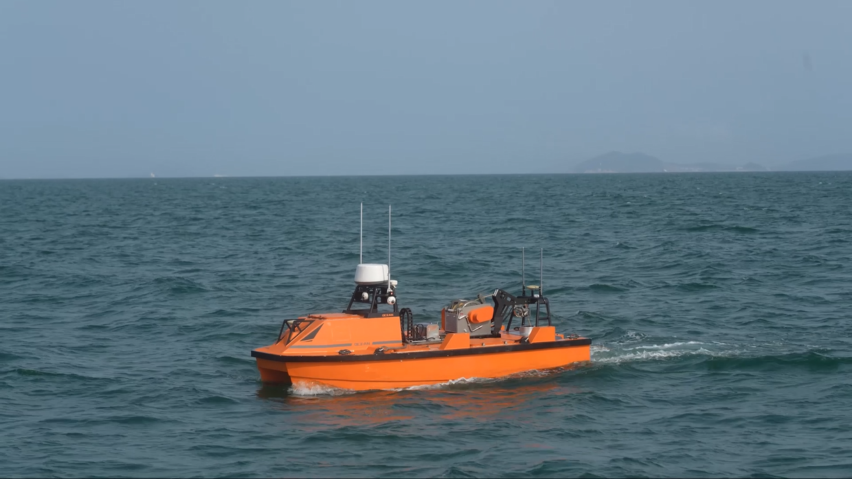
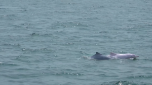
In April 2022, researchers working in a protected coastal area in southern China used an OceanAlpha M40P uncrewed surface vessel (USV) with passive acoustic monitoring equipment to investigate the local Chinese white dolphin population and distribution. The project showed how a quieter, compact surface platform can improve the conditions for marine-mammal monitoring while also making the field operation easier to manage.
A sensitive species in a busy estuary
The Chinese white dolphin, also known as the Indo-Pacific humpback dolphin (Sousa chinensis), is listed as Vulnerable on the IUCN Red List. The Pearl River Estuary supports a major population, but it is also one of the world’s most intensively used coastal environments. Effective protection depends on reliable observations of where dolphins occur, how groups are distributed and whether younger animals are present.
Visual observations remain important, but sound gives researchers another way to detect dolphin activity. Passive acoustic monitoring records vocalisations without transmitting sound into the water. Each useful recording can contribute evidence on the presence and movement of animals, including when visibility makes direct observation difficult.
Why the survey platform matters
Conventional fishing boats had previously been used for local dolphin research. Their machinery and hull noise could interfere with acoustic measurements, so hydrophones were commonly towed on cables up to 80 metres long to increase the distance between the sensor and the vessel. A long tow cable creates its own operational challenges: deployment and recovery take more effort, and the instrument is exposed to greater risk of snagging or damage.
For this mission, the electrically propelled M40P followed a planned route through the reserve while towing the acoustic equipment astern. Its lower operating noise provided a quieter working environment for the sensor. The tow cable could be shortened to around 10 metres, simplifying handling and helping protect the equipment.
The catamaran platform also offered a stable base for the payload. Rather than treating the USV as a stand-alone product, the project combined the vessel, acoustic sensor, route planning and remote supervision into one data-collection workflow. That integration is essential: a quiet hull is useful only when the sensor arrangement, operating speed and survey route are designed around the scientific objective.
Turning sound into evidence
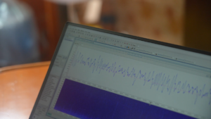
The recorded signals gave the research team material for analysing dolphin activity in the reserve. Chen Yuwei, an engineer with the Institute of Hydrobiology of the Chinese Academy of Sciences, explained the value of the data: “Every voice track represents a Chinese white dolphin. We have successfully applied sonar devices and acoustic technologies to our population and distribution research.”
The mission also produced encouraging field observations. Chen Xi, then head of the technology department at the Pearl River Estuary Chinese White Dolphin National Nature Reserve, noted that many of the dolphins observed in the area were young, including calves. Such observations do not replace long-term population analysis, but they add valuable context to the acoustic record and help guide continued monitoring.
Beyond a single research mission
The same reserve also used an autonomous surveillance and rescue vessel for routine patrols along predefined routes. Radar and Automatic Identification System data supported real-time monitoring of vessel traffic, recording tracks and flagging potentially suspicious activity. This illustrates a broader role for uncrewed platforms in protected waters: the technology can support both scientific observation and day-to-day stewardship.
Not every marine-mammal survey is suited to a USV. Weather, sea state, communications coverage, local traffic, sensor requirements and wildlife-disturbance protocols all need to be considered. Researchers must also validate data quality and retain clear control over mission changes or termination. Uncrewed operation changes where people work; it does not remove the need for experienced scientists, surveyors and mariners.
The Pearl River Estuary project nevertheless offers a practical lesson for ocean observation. When the platform is selected around the measurement rather than the other way round, autonomy can do more than reduce the number of people at sea. It can create better conditions for the sensor, make delicate equipment easier to handle and help researchers listen to protected species with less interference.
For marine science, that may be one of the most useful measures of technology: not how visible it is in the field, but how quietly it helps the evidence come through.
About OceanAlpha
OceanAlpha develops uncrewed surface vessel systems for hydrographic survey, environmental monitoring, marine engineering, security and rescue. Its work focuses on integrating vessels, sensors, autonomy and remote control into practical marine operations.
Sonardyne helps BAS navigate on GIANT climate mission
An ambitious climate science mission using marine robots, in formation and closer to glaciers than they’ve been before, sets sail this summer with support from Sonardyne underwater positioning technology.
The GIANT project, led by British Antarctic Survey (BAS), is investigating how the warming ocean is making Greenland’s tidewater glaciers melt - and what this means for our global climate.
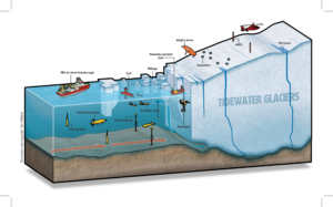
To do this, the UK’s polar research ship RRS Sir David Attenborough will send a fleet of autonomous vehicles - aerial, surface and subsea - as a connected observing system, into one of the world’s most extreme environments to get the most comprehensive data possible.
Sonardyne’s Ranger 2 Ultra-Short BaseLine (USBL) positioning system onboard the RRS Sir David Attenborough and a Mini-Ranger 2 USBL system on the daughter craft Erebus will be used to track and control formation operation of the mission’s underwater vehicles as they map the glacier’s underwater face.
The underwater vehicles being used include the UK National Oceanography Centre’s AutoSub Long Range (ALR, AKA Boaty McBoatface), a Teledyne Gavia and ecoSUB Robotics autonomous underwater vehicles (AUVs).
The GIANT project involves 15 collaborating institutions, five technology partners and is backed by the UK’s Advanced Research and Invention Agency (ARIA) as part of the Forecasting Tipping Points programme.
Dr Pierre Dutrieux is an oceanographer at BAS and is leading the ocean robotics research on RRS Sir David Attenborough: “This is an exciting and ambitious mission using fleets of autonomous vehicles to help us gather data in otherwise extremely hard to access environments. The data they collect will help to transform how we forecast ice loss in Greenland’s fjords and improve early warning systems for tipping points that could reshape our planet’s climate.”
Michelle Barnett, Business Development Manager, Ocean Science, at Sonardyne: "Our acoustic and inertial systems provide the positioning layer that helps underwater robots know where they are, stay coordinated and return reliable scientific data."
“In simple terms, GIANT is not just about sending robots closer to the ice, which is ambitious in itself. It is about turning multiple vehicles into a connected observing system capable of gathering measurements scientists have never captured before."
“By helping those robots operate safely and accurately in one of the harshest environments on Earth, Sonardyne is enabling research that could improve climate models and deepen understanding of a critical global challenge.”
The GIANT mission
GIANT stands for Greenland Ice sheet to AtlaNtic Tipping points from ice loss.
The GIANT mission will run from July into August this year at tidewater glaciers near Kangerlussuaq Fjord with a goal to map, measure, and monitor everything from ocean water temperature to glacier movement using autonomous vehicles.
Alongside the underwater vehicles, there will be embedded robotic sensors tracking melting below the surface, a DriX uncrewed surface vessel at the surface and aerial drones surveying the ice from above.
The information they gather will be used to answer a critical question; how fast can Greenland’s glaciers melt—and what does that mean for our climate?
Learn more: https://giantgreenland.com/
What is a climate tipping point?
One of the biggest unanswered questions in climate science is deceptively simple: how quickly can Greenland’s glaciers melt - and how much of that melt will reach and disrupt the ocean systems that regulate our weather?
Scientists know that warm ocean water is already eroding glaciers from below, contributing to sea level rise and potentially affecting major currents in the North Atlantic. What they don’t yet have are detailed, continuous measurements from the critical zone where ocean and ice meet—because it’s one of the hardest places on Earth to reach safely.
The GIANT programme is designed to change that.
How new is the use of ocean robots to map glaciers?
GIANT is one of the first projects to treat underwater robots as a coordinated system - deploying fleets of long-range, small and survey AUVs together - in extreme glacier environments, for extended periods.
The aim is not just to collect snapshots of data, but to feed near-continuous observations into climate models, helping scientists better predict how Greenland’s glaciers will respond to a warming ocean - and what that means for sea levels, ocean circulation and future climate risk.
Crucially, this kind of multi-robot operation depends on knowing where each vehicle is at all times - despite the fact that GPS signals don’t work underwater and visibility can be near zero.
This is where acoustic and inertial navigation systems from Sonardyne provide the positioning layer.
Our Ranger 2 and Mini-Ranger 2 USBL systems, installed on the RRS Sir David Attenborugh and its daughter craft, Erebus, will enable these multiple robots to work in formation alongside the sides of these glaciers, underwater, safely and so that the data they collect can be accurately mapped and compared.
For GIANT, that positioning confidence isn’t just a technical detail - it’s what turns raw observations into reliable scientific evidence.
Fugro to support UK carbon capture infrastructure development
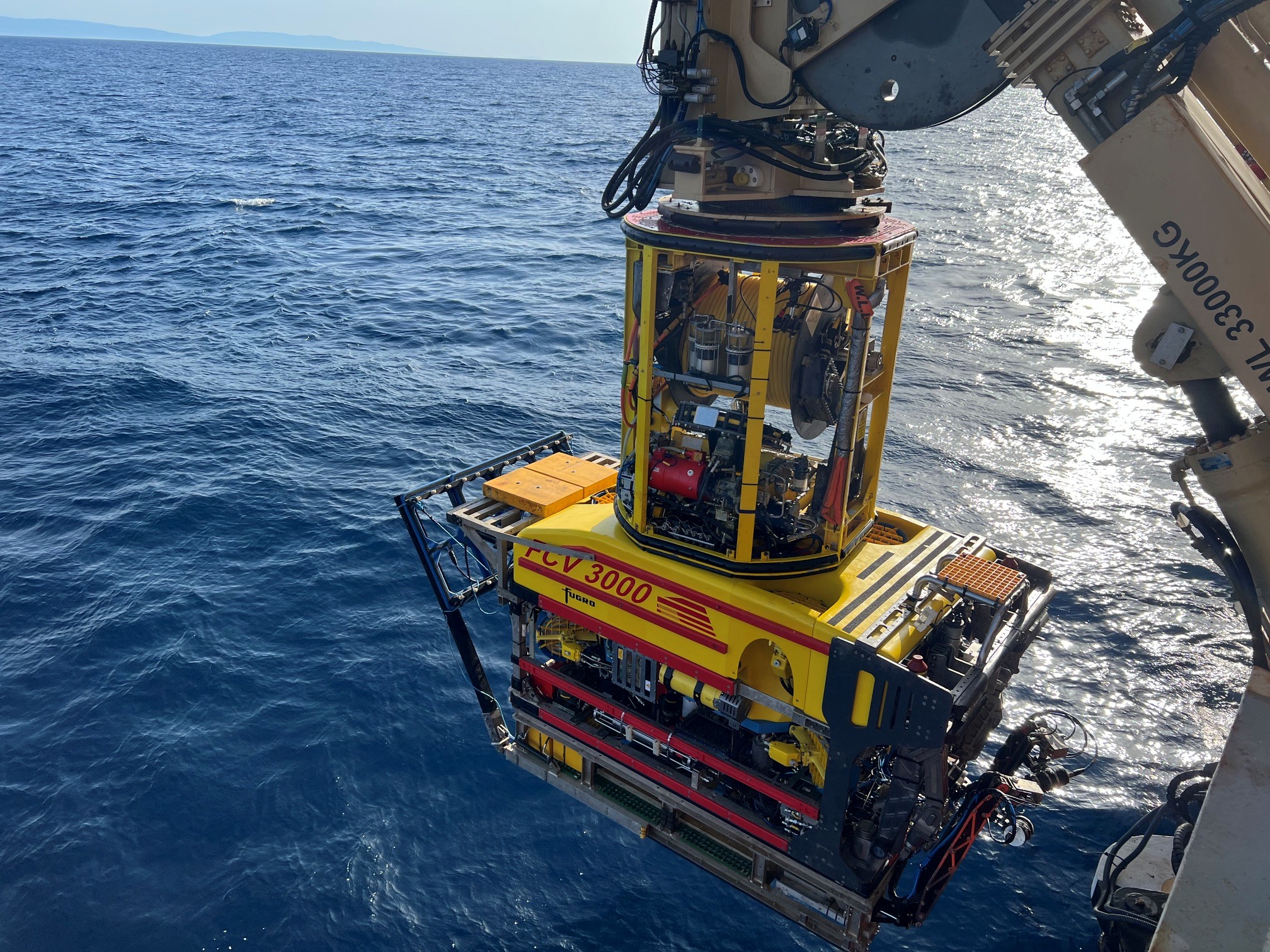
Fugro has been awarded a contract by Saipem to deliver integrated marine survey and inspection services for the Northern Endurance Partnership (NEP), the UK's first CO₂ transportation and storage infrastructure project. Saipem is leading the engineering, procurement, construction and installation of the offshore pipeline and associated infrastructure for NEP, an incorporated joint venture between bp, Equinor and TotalEnergies.
With access to up to one billion tonnes of CO₂ storage capacity beneath the North Sea, the programme aims to decarbonise some of the UK's most carbon-intensive industrial regions. Once operational, the infrastructure will play a key role in reducing emissions while supporting ongoing industrial activity and strengthening regional energy security.
Fugro will deliver nearshore and offshore survey and inspection operations to support pipeline installation, from landfall through to connection with existing offshore infrastructure. Nearshore works will focus on prelay surveys from the tunnel exit, extending several kilometres offshore, along with installation monitoring as the pipeline is pulled out to sea to confirm it is being laid as designed and to identify any unexpected seabed changes early.
Further offshore, Fugro will provide surveys, installation support and verification along the pipeline route, including at third-party pipeline and cable crossings. This unique source-to-seabed approach provides Saipem with consistent, reliable Geo-data along the entire route, helping reduce installation risk and support efficient project delivery.
“As the UK's first major carbon capture and storage project, NEP’s work marks an important milestone for the energy transition, and we're thrilled to be part of it," said Mike Duncan, Fugro's Director of Marine Asset Integrity in Europe and Africa. “By working closely with Saipem across nearshore and offshore environments, from early surveys through to installation, we support informed decision‑making that helps Saipem manage risk across a technically complex route.”
Kongsberg Maritime and BCIT announce landmark Marine Innovation Simulation Centre of Excellence in British Columbia
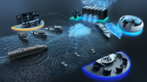
KONGSBERG, Kongsberg Maritime, and BCIT are pleased to announce a significant investment that will establish the Marine Innovation Simulation Centre of Excellence (MISE) in British Columbia. The initiative is designed to strengthen maritime innovation and skills development, support ongoing research and development, while building on key objectives outlined in Canada’s Defence Industrial Strategy.
The partnership and subsequent investment are enabled through the Industrial Technological Benefits (ITB) policy, and in support of KONGSBERG programs in Canada. This investment will directly support improved facility infrastructure, onboarding of applied research and faculty expertise, and ongoing research and long-term capability development.
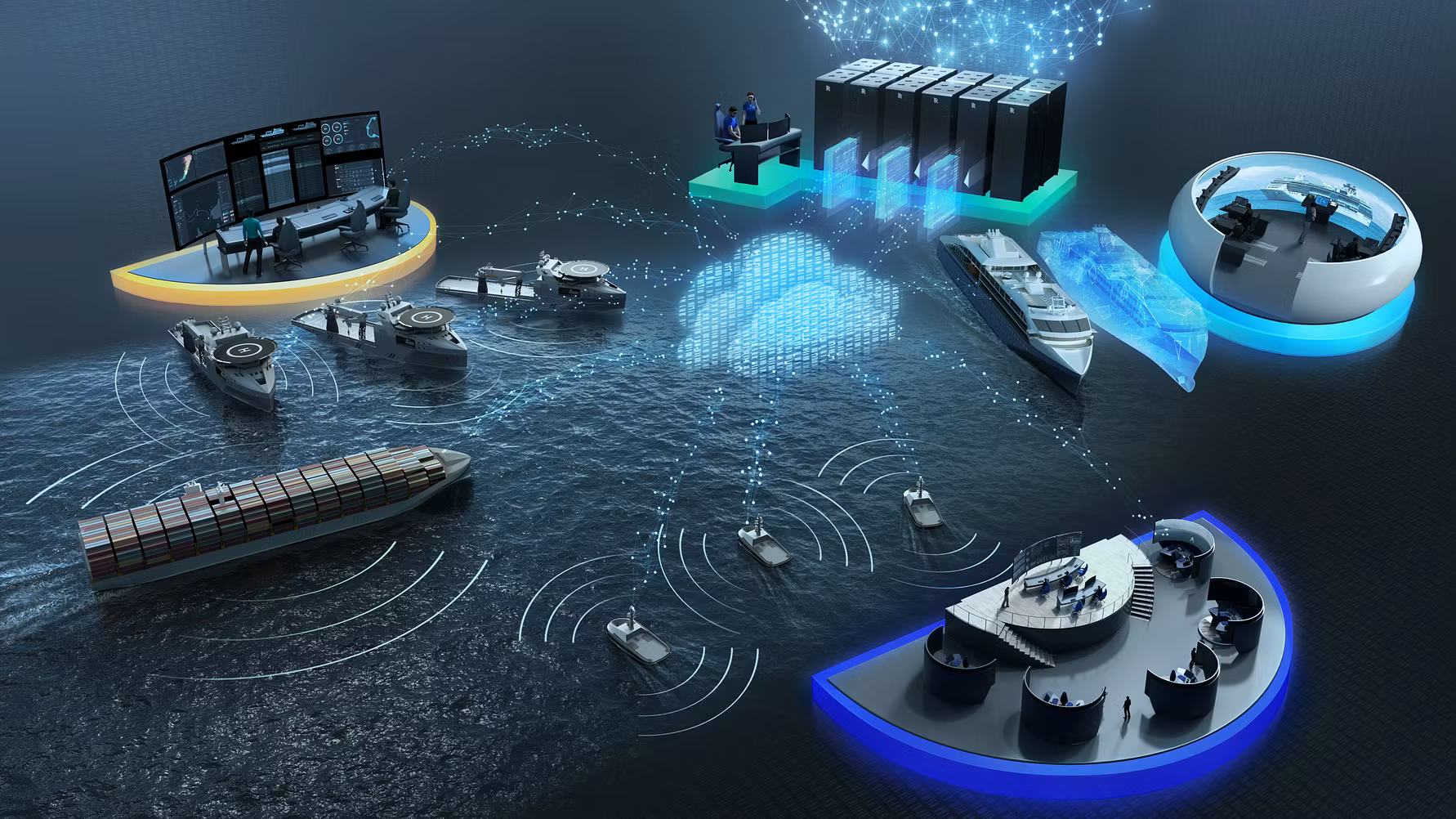
Through the partnership, BCIT’s new Simulation Center will be built around the Kongsberg Maritime simulation technology, providing a synthetic environment, development tools, and APIs to support collaborative applied research with Canadian industry, academia, defence, and public-sector stakeholders. It will serve as a platform for prototyping, human factor studies, testing, and accident and incident analysis including de-risking new concepts in areas such as maritime safety, autonomy, cyber resilience, critical infrastructure, port development, and low- and zero-emission operations. The hub will also help accelerate commercialization opportunities and support the development of sovereign Canadian capability in a strategically important sector.
“We are very pleased to demonstrate our continued commitment to Canada through this partnership,” said Jordan Freed, President and Managing Director at Kongsberg Geospatial, KONGSBERG’s Ottawa-based subsidiary. “Sovereign digital systems are a key capability outlined in Canada’s defence industrial strategy. Our company is pleased to play a role in building out key defence capabilities, based on KONGSBERG and Norway’s long history of maritime domain research and infrastructure.”
The partners will implement a strategic long-term capability to support sustainable and future-oriented maritime development. The technology partners will deliver the core systems, simulation environment, and technical expertise required to enable high realism, scalability, and innovation across the project’s solutions.
“Together with BCIT, we are establishing a long-term innovation and research hub for Canada’s maritime sector—one that can support safer operations, faster competence development and the testing of new concepts before they are deployed in the real world," said Are Føllesdal Tjønn, Managing Director, Maritime Simulation at Kongsberg Maritime. "By combining advanced simulation with collaborative R&D, MISE will empower Canadian maritime capability and support future sustainable growth."
To expand access and increase training capacity, the partnership will provide licenses for cloud-based simulation systems, enabling BCIT to extend learning beyond the campus—supporting flexible delivery, additional practice hours, and remote and distributed training models for its students, while also helping increase access to maritime education and skills development opportunities for Indigenous communities.
“The Marine Innovation Simulation Centre of Excellence speaks to the power of collaboration and partnership. This innovative project will enable the creation of new education and training programs, support small and medium-sized businesses to commercialize new products, and create the most advanced marine education research environment in Canada,” said Dr. Jeff Zabudsky, President of BCIT. “This unique partnership combines workforce development, applied research, and industry collaboration in one environment.”
“MISE reflects BCIT’s commitment to preparing the next generation of talent for Canada’s evolving marine sector,” said Jennifer Figner, Provost and Vice President, Academic, BCIT. “By expanding access to advanced maritime training and immersive learning opportunities, MISE will equip learners with the skills, experience, and industry connections needed to succeed in a rapidly changing sector. It will strengthen BCIT’s ability to deliver responsive, future-focused education that meets the needs of employers and communities across Canada.”
The Honourable Mélanie Joly, Minister of Industry and Minister responsible for Canada Economic Development for Quebec Regions, said: “Kongsberg's investment in the Marine Innovation Simulation Centre of Excellence in British Columbia, made through Canada's Industrial and Technological Benefits Policy, is a significant step forward for Canada's maritime sector. As the first national hub for maritime simulation and applied research, the centre will help address the shortage of certified mariners and drive innovation. It will also support Canadian small and medium-sized businesses in developing new products and bringing them to market, while strengthening Canada’s defence industrial base. It directly addresses a skills shortage that both commercial and DND operators have identified, in advance of the new fleets being delivered."
BCIT’s strong academic capability, applied research expertise, and educational leadership is central to the implementation and development of the project. Together, the partners expect the initiative to generate significant socio-economic value through workforce development, stronger industry–academia collaboration, innovation opportunities for Canadian small and medium-sized businesses, and broader knowledge transfer across the maritime sector. The project is also expected to support regional economic activity, strengthen sovereign industrial capability, and create long-term benefits for training, research, and commercialization in Canada.
Note: Kongsberg Gruppen ASA and Kongsberg Maritime AS are now two separately listed companies following the demerger of Kongsberg Gruppen. Kongsberg Maritime was listed as an independent global maritime technology company on Euronext Oslo Børs on 23 April 2026.
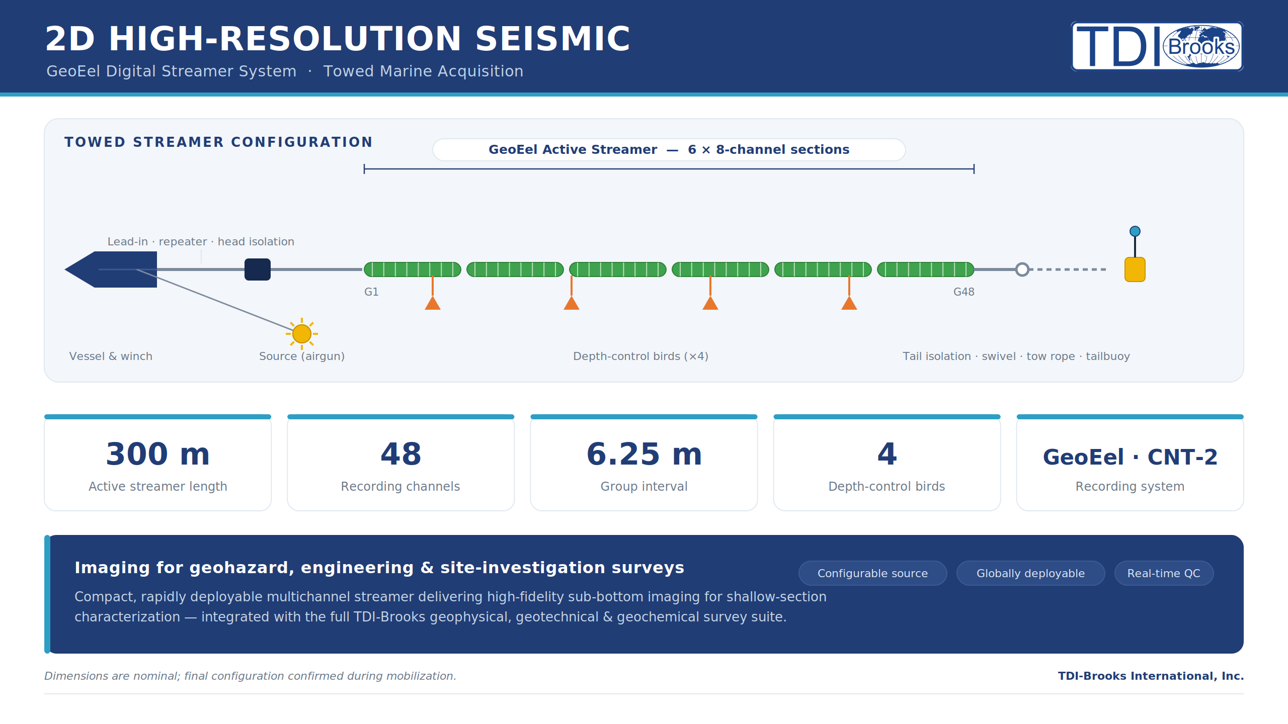
TDI-Brooks completed 2D HR survey off Trinidad & Tobago
 TDI-Brooks has successfully completed a 2D high-resolution shallow hazard seismic survey offshore Trinidad & Tobago. The acquired and processed lines support de-risking efforts for a planned offshore cluster installation, as well as the subsequent drilling of wells from this structure. Through the acquisition, processing, and interpretation of the 2D high-resolution seismic data, the identified areas of interest have been effectively evaluated and risk-reduced. In total, approximately 80 line-kilometers were completed using TDI-Brooks’ vessel, R/V GYRE.
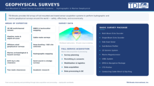 R/V GYRE has recently completed a surface geochemical exploration (SGE) project off Jamaica, a multibeam echo sounder (MBES) and environmental baseline survey (EBS) project off Aruba. The vessel is currently working off Liberia on a multi-client seep hunting project for GeoPartners Ltd. followed by a few-weeks project for the AAGP pipeline. We anticipate availability in early JULY .
For 30-years TDI-Brooks has stood at the forefront of oceanographic research, chartering and operating an impressive fleet of five oceanographic vessels. We operate our vessels globally on the spot market. Our Vessels – TDI Brooks International.
Hydromea & FAU win AUKUS grant to unlock the ocean's hidden data layer
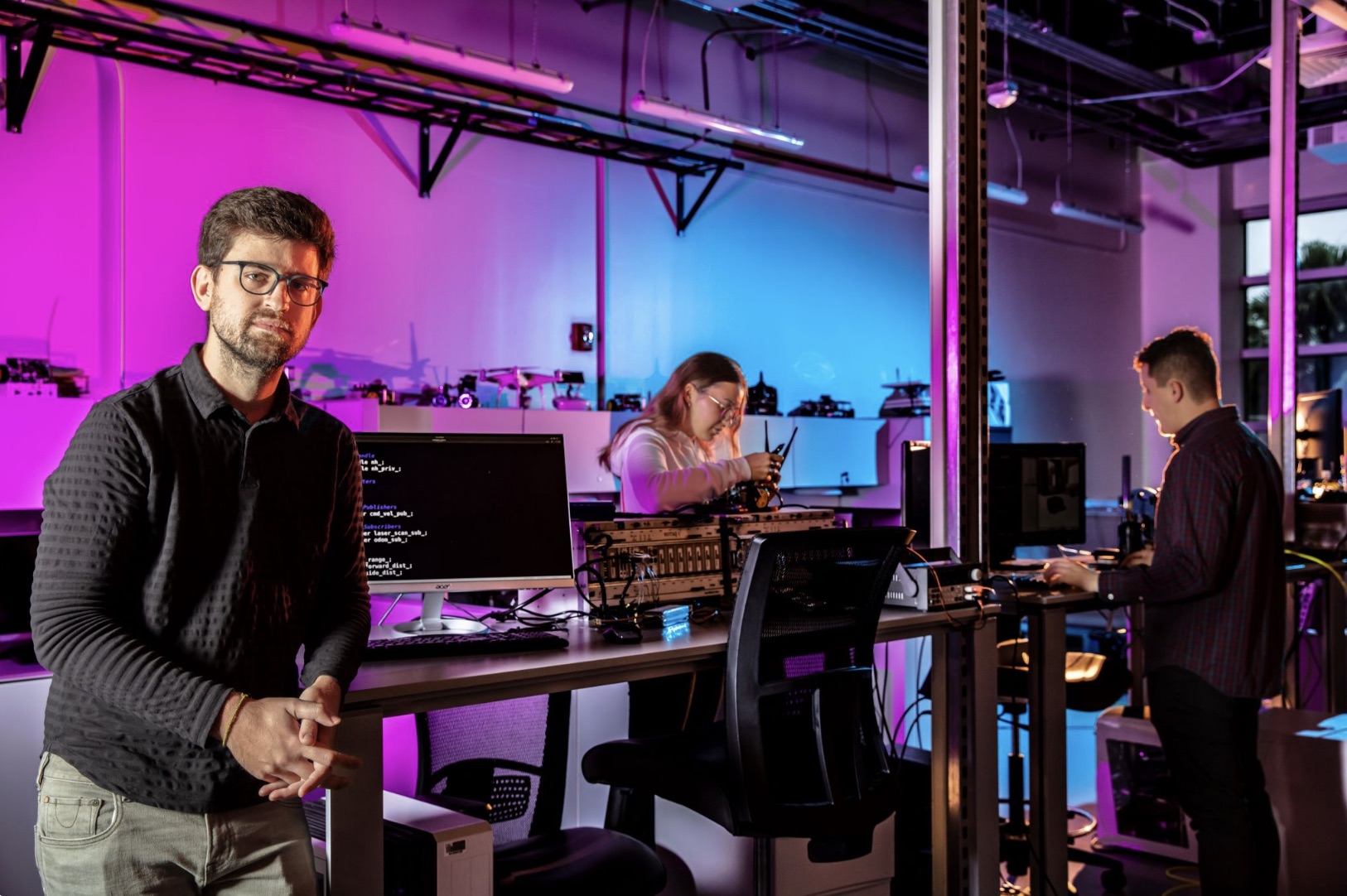
 Hydromea SA, the Swiss pioneer in subsea Free-Space Optical (FSO) communication, today announced that together with Florida Atlantic University (FAU) it has won a $1 million award granted through the AUKUS Maritime Innovation Challenge. The trilateral defence initiative - backed by the United States Defense Innovation Unit (DIU), Australia's Advanced Strategic Capabilities Accelerator (ASCA), and the United Kingdom's Defense and Security Accelerator (DASA) - is funding the joint team to develop a next-generation underwater communication and networking system capable of operating in contested and congested environments.
The project was selected from a highly competitive international pool of proposals from universities, research institutions, and industry across the US, UK, and Australia.
The Ocean Flies Blind
Despite hosting the world's most critical infrastructure - subsea energy pipelines, transcontinental data cables, and defence sensor networks - the ocean remains strikingly data-poor. Real-time wireless data exchange at depth is practically impossible with conventional technologies: radio waves and GPS do not penetrate seawater, and acoustic systems offer severely limited bandwidth. Vast volumes of sensor data sit stranded on the seabed, inaccessible unless a vessel physically retrieves them.
"The ocean is one of the most data-rich environments on the planet - and paradoxically the one we know the least about in real time. Thousands of sensors and vehicles generate critical intelligence on the seabed every day, and almost none of it reaches the surface in time to be actionable. Hydromea's FSO technology is the infrastructure layer the ocean has been missing. Combined with FAU's world-class expertise in acoustic networking, this award marks the moment we can bridge the gap between acoustic range and optical speed - opening a new era of ocean intelligence for both defence and civil domains."
- Igor Martin, CEO & Co-founder, Hydromea SA
Technology: Acoustic Range Meets Optical Speed
The joint FAU-Hydromea platform integrates two complementary technologies: long-range acoustic links for resilient wide-area command and control, and Hydromea's high-speed LUMA™ FSO optical modems for rapid, high-bandwidth data harvesting. This hybrid architecture resolves the fundamental trade-off that has constrained underwater operations for decades — the forced choice between range and throughput.
Hydromea's LUMA™ platform transmits at up to 10 Mbps, is pressure-certified to 12,000 meters depth, and delivers approximately 1,000× greater speed and 1,500× greater energy efficiency than acoustic alternatives. Its inherently low probability of intercept (LPI) profile makes it uniquely suited for covert, stealth data exchange in tactical underwater environments.
Testing will move from controlled lab environments in Switzerland and Florida to advanced field demonstrations off the coast of Australia, involving autonomous surface vessels, underwater vehicles, and stationary seabed systems. The project is estimated to be delivered in less than a year.
A New Market: Stealth Ocean Data Harvesting
The same hybrid architecture applicable to defence - persistent covert surveillance, anti-submarine warfare sensor nets, seabed domain awareness - applies equally to offshore energy monitoring, environmental science, and networked autonomous vehicle swarms. Together, acoustic and optical technologies open an entirely new category: subsea wireless broadband infrastructure - the ocean equivalent of the networks that transformed situational awareness above the waterline.