
Oceanus12 sets sail for Canada as ASV Viper marking milestone in autonomous maritime operations
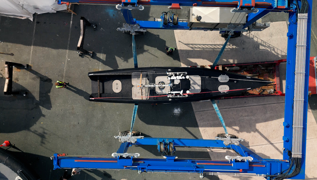
 One of Zero USV’s Oceanus12 uncrewed surface vessel has officially left UK waters following successful trials in Plymouth, bound for Canada where it will join Leeway Marine’s operational fleet under its new name: ASV Viper.
Renamed and readied for service, Viper marks a significant moment for ZeroUSV as the first vessel to be deployed internationally under its franchise model, and the first step in bringing high-endurance, over-the-horizon uncrewed capability to North America.
The partnership sees Leeway Marine appointed as ZeroUSV’s first international franchisee, with exclusive rights to operate the Oceanus12 in Canada and the wider region on a charter basis. Designed from the keel up for extended autonomous missions, the Oceanus12 features a hybrid-electric twin propulsion system, advanced autonomy from AI software leaders, Marine AI, and a mission-flexible platform suitable for defence, survey, and border security operations.
Matthew Ratsey, founder of ZeroUSV, said: “We’re proud to see ASV Viper heading into service, particularly with Leeway Marine, who have deep operational experience and knowledge, making them the ideal partner to take Zero USV to North America.
“This is a meaningful step in our global expansion, and one that shows the increasing demand for high-performance, uncrewed platforms that don’t rely on costly ownership models.”
Based in Halifax, Nova Scotia, Leeway Marine is one of Canada’s largest offshore charter operators, with a strong presence in defence and survey markets. ASV Viper will be the first autonomous vessel of its kind in the region, opening new possibilities for persistent maritime operations without crew onboard.
ZeroUSV’s model enables customers to access turnkey autonomous capability through charter, supported by its own Remote Observation Centre (ROC) – reducing complexity, time to deployment, and risk.
Viper is expected to enter operational trials in Canadian waters later this summer.

Teledyne CARIS and UK Hydrographic Office Partner to Transform Hydrographic Processing and Nautical Charting

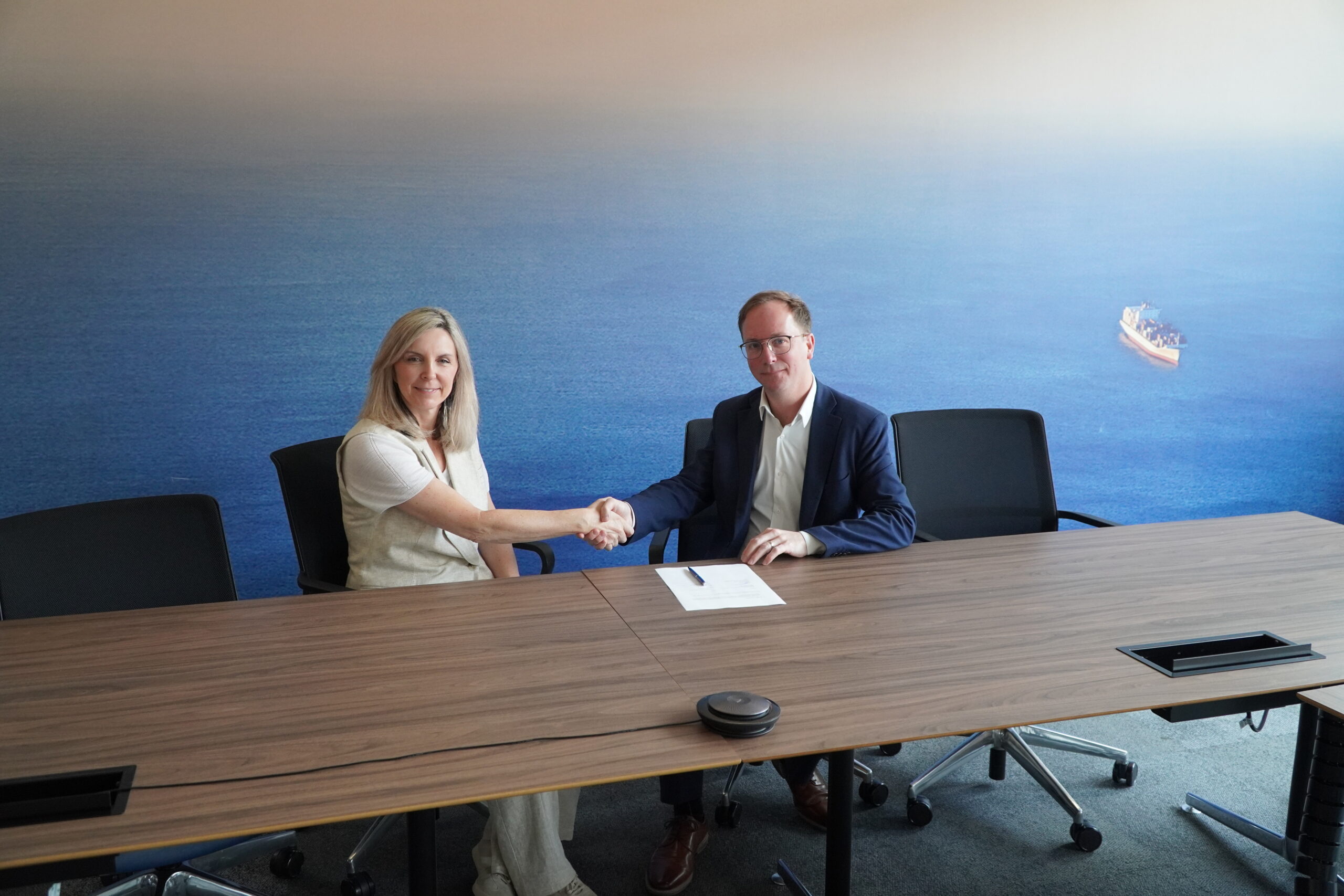
Teledyne CARIS and the UK Hydrographic Office (UKHO) have launched a multi-year strategic partnership aimed at transforming the way hydrographic data is processed, and nautical charts are produced. This marks a significant step forward for the global hydrographic community and promises to deliver direct benefits to the UKHO and users of its ADMIRALTY products and services through collaborative enhancements to the CARIS software suite.
The partnership includes a three-year initiative that aims to evolve existing systems such as CARIS HPD, Bathy DataBASE, and HIPS and SIPS – which have been collaboratively refined over the past two decades. Rather than replacing these systems, these efforts will propel them into a next-generation suite of cloud-based services and intuitive web applications that reflect the evolving needs of geospatial users.
The initiative officially kicked off on June 9, marked by an on-site visit from the CARIS team to the UKHO headquarters. This strategic partnership forms part of a broader five-year enterprise license agreement and builds on a decades-long history of successful collaboration between the two organizations.
The partnership will enable the UKHO to process hydrographic data more efficiently and effectively, ensuring it can deliver continued support to hydrographic offices, mariners and wider users of hydrographic data across the world. Dave Tomaney, Chief Data Officer at the UKHO, commented “Our partnership with Teledyne CARIS will enable us to transform the way we process hydrographic data that is critical to producing our navigational products and services – relied on by mariners worldwide. By harnessing technology to improve data management and processing, we can continue our work with other hydrographic organisations to support navigational safety and the sustainable use of our oceans - not just benefitting the UKHO, but the wider maritime geospatial community too.”
The initiative will focus on streamlining the ingestion of survey data and the production of charts through automation, cloud storage, and user-friendly interfaces that preserve a rich data interaction experience.
“This partnership is rooted in the true spirit of collaboration, with government defining relevant use cases and CARIS customizing tailored, agile solutions.,” said Andy Hoggarth, Vice-President of CARIS. “By evolving our tools and workflows, we’re laying the groundwork for UKHO and CARIS to be at the forefront of global hydrography.”
With regular onsite collaboration planned over the coming years, the initiative underscores the mutual benefits of public-private partnerships and highlights innovation leadership in both Canada and the United Kingdom.
Next Geosolutions sign 5-year global agreement for offshore geoscience services with TotalEnergies
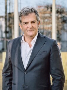 Next Geosolutions (“NextGeo” or the “Company”), is pleased to announce the signing of a five-year Framework Agreement on Legal Term and Conditions with TotalEnergies for the provision of Offshore Investigations Services.
This agreement is intended to establish a long-term, non-exclusive relationship to support TotalEnergies’ global offshore projects by leveraging NextGeo’s technical expertise and operational capabilities, as well as enhancing process efficiency and standardizing contracting practices.
Operations will be carried out using NextGeo’s advanced fleet of offshore units. This agreement strengthens NextGeo’s position as a trusted partner for subsea investigation campaigns and marks a strategic expansion into key global regions.
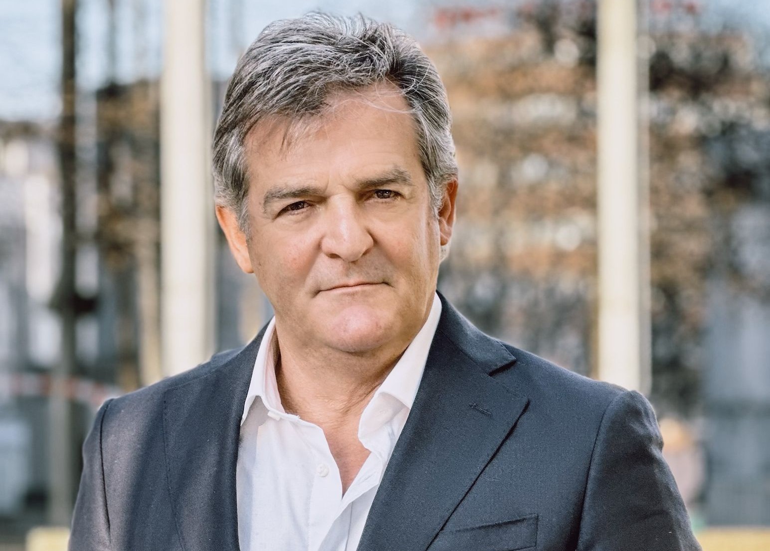
Giovanni Ranieri, CEO of Next Geosolutions, added: “Being awarded a long-term framework agreement by TotalEnergies represents a major milestone for our Company to seize new business opportunities. This agreement gives us the opportunity to further expand our international presence."
Exail to equip Petrobras FPSOs with Quadrans AHRS in Brazilian offshore project
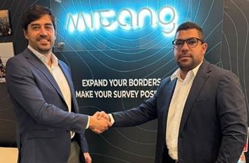
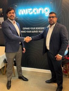 Exail, a global leader in inertial navigation technologies, has secured a contract with Brazilian offshore services company Mitang to deliver 30 Quadrans Attitude and Heading Reference Systems (AHRS). These units will be installed on Floating Production, Storage and Offloading units (FPSOs) operated by Petrobras off the coast of Brazil.
The Quadrans AHRS provides real-time measurements of pitch, roll, and heading, with a heading accuracy of 0.23° seclat RMS. This level of precision is essential for monitoring platform stability and ensuring safe, uninterrupted operations during complex offshore activities, including in areas where GNSS coverage may be limited or intermittent. Its robust, maintenance-free design delivers dependable performance in harsh marine environments, supporting operational continuity and helping to reduce lifecycle costs. In addition, the system’s fast start-up capability allows for rapid deployment and swift recovery following power cycles or system interruptions, further enhancing offshore efficiency. Backed by Exail’s local technical support in Brazil, the solution meets Petrobras’ stringent operational requirements, ensuring smooth integration and ongoing service.
"This collaboration with Exail reinforces our commitment to operational excellence and safety in Brazil’s offshore sector, said Diego Fernandes, CEO of Mitang. By integrating Quadrans technology on Petrobras FPSOs, we are enhancing real-time monitoring capabilities that are critical for managing complex rig moves with greater confidence and precision."
"We are honored to contribute to this important project with Mitang and Petrobras, said Thiago Montanari, Sales Director at Exail. Our Quadrans AHRS exemplifies cutting-edge innovation in offshore navigation, delivering reliable, maintenance-free performance that supports the highest standards of safety and operational efficiency in challenging marine environments."
This new contract further solidifies Exail’s position as a trusted provider of advanced inertial navigation solutions in the global offshore energy sector. It underscores the company’s commitment to delivering reliable, high-performance technologies that meet the rigorous demands of offshore operations worldwide.
Miros secures new shipping contract for novel VTI vessel performance technology
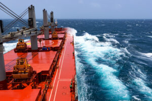
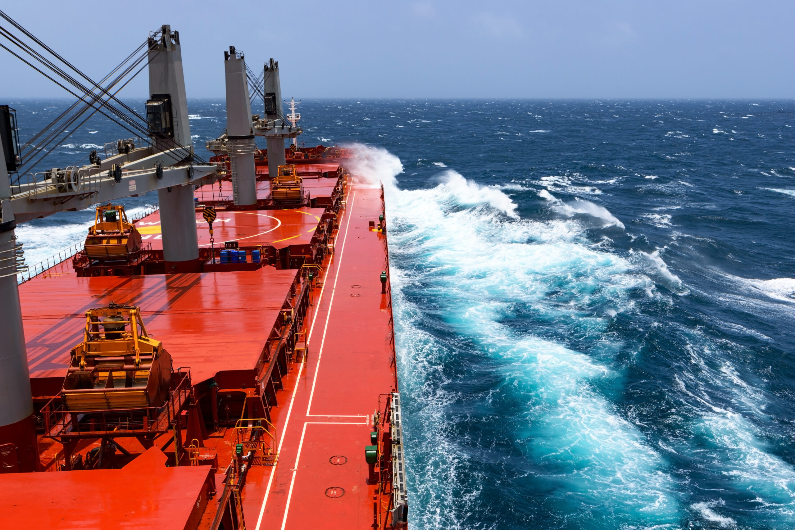
Miros, a global leader in real-time ocean insights and maritime innovation, has announced a significant commercial shipping contract for its Vessel Technical Index (VTI) service, marking a bold step forward in transforming vessel performance monitoring across the shipping sector.
This third and newly signed agreement, with a prominent yet undisclosed shipping company, cements Miros' position as a trusted partner in the maritime market. With over 40 years of expertise delivering high-precision ocean insights to offshore industries, Miros is now accelerating the shipping sector’s journey toward safer, sustainable, and more efficient vessel performance.
The Vessel Technical Index is a new metric that can be used to evaluate a vessel’s technical performance in relation to a reference baseline, such as its newbuild condition, and is a new recommended practice from DNV.
A VTI analysis identifies the actual performance of a vessel by removing the effects of the weather, loading condition, and other operational factors. The Miros VTI service running in Miros Cloud delivers unmatched accuracy by utilizing Miros’ industry-leading speed-through-water (STW) and wave measurements. With hourly updates, this enables the right decisions to be taken at the right time.
This helps shipowners and operators address some of their most critical performance challenges confidently. They can evaluate a vessel's real-time performance with greater accuracy or determine the ideal timing for hull or propeller cleaning. Ship performance can also be clearly documented in charter agreements, and the actual impact of energy-saving devices can be measured with precision.
Gunnar Prytz, Miros’ Chief Technology Officer (CTO), said: “Miros’ VTI significantly reduces the guesswork in vessel performance. This new approach will allow operators to plan hull and propeller maintenance based on real vessel status.
“Unlike traditional vessel performance analyses which are typically based on low-accuracy wave and STW data, the Miros VTI powered by accurate, real-time sea state measurements delivers high-frequency and high-fidelity insights that can be up to ten times faster, ten times more accurate and ten times more valuable than the standard industry applications used in the shipping industry, making voyages more predictable and profitable”.
Marius Five Aarset, Miros CEO, added: “As the shipping industry faces increasing pressure to reduce emissions and comply with tightening regulations, Miros' Vessel Technical Index positions itself as a critical tool for sustainable success. Calculating energy use, removing external force impact, and comparing it to pure water resistance in real-time, the technology streamlines the process by generating high-quality insights that enhance operational efficiency while reducing costs. At Miros, we are proud to partner with our shipping customers on their journey toward cleaner, data-driven seas, helping to identify and verify considerable performance gains in real-time.
As the shipping industry embraces greener and more intelligent operations, the need for actionable, real-time performance data has never been greater. Backed by over four decades of experience in advanced radar systems for real-time ocean monitoring, Miros brings proven expertise to a rapidly evolving maritime landscape.
The Vessel Technical Index (VTI) solution meets this demand by standardizing performance visibility and enabling data-driven fleet management. It delivers measurable results that help reduce fuel consumption, lower emissions, and improve cost efficiency, supporting shipping partners in achieving operational trust, profitability, and sustainability.
Ocean science inspires next generation of marine experts, onboard government Research Vessel
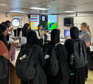
Nearly 150 students from Norfolk, London and across the UK explored cutting-edge marine research onboard the 74-metre-long Research Vessel Cefas Endeavour. Initiative opens doors to diverse careers in ocean science while showcasing vital research tackling food security, climate change and pollution. Part of wider efforts to increase diversity in marine science careers, addressing sector's inclusion challenges.
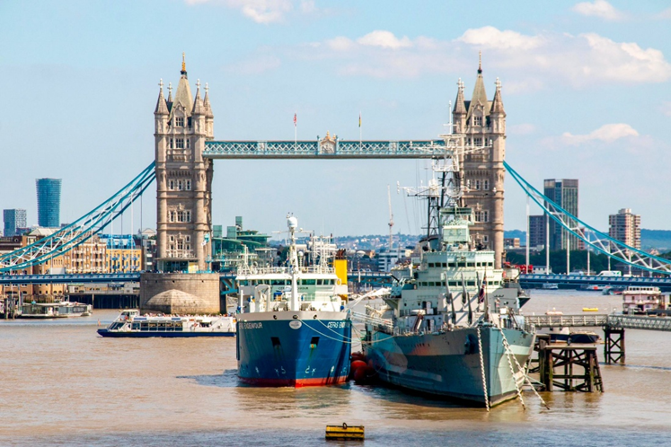
Potential future marine scientists from across London and Norfolk have gained hands-on experience of ocean research during visits to the government's 74-metre-long sea-going marine laboratory. RV Cefas Endeavour was temporarily moored alongside HMS Belfast on the River Thames, 1-2 July to offer a unique open-doors experience to selected young people.
Over 80 schoolchildren and 60 university students explored the state-of-the-art RV Cefas Endeavour this week, learning how marine scientists address critical ocean challenges including climate change, biodiversity loss and pollution.
The visits, organised alongside the Future Ocean 25 conference taking place nearby, gave young people direct access to working scientists while showcasing career opportunities in a field crucial to a sustainable economy, improved environment, health and well-being.
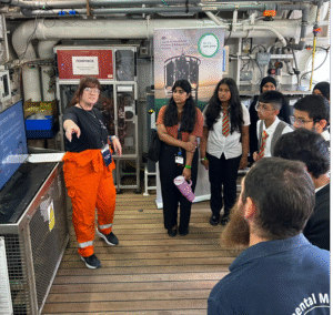
Students engaged with researchers to discover how the Centre for Environment, Fisheries and Aquatic Science (Cefas) supports aquatic food security, clean energy, water health and nature recovery. They experienced research equipment first-hand, including smart buoys for data monitoring, underwater cameras, and sediment sampling technology. They also learnt about marine litter monitoring; about the use of AI in Remote Electronic Monitoring (REM) for fishery data collection; how we collect fish stock assessment data; mapping of Marine Protected Areas using sonar and water quality surveys.
The initiative forms part of Cefas' ongoing commitment to increase diversity within aquatic sciences, encouraging students from all backgrounds to pursue careers in this vital field, which recent studies show are among the least diverse university courses in the UK. *
Little Ilford School's teacher, Mr Obembe said, “It’s been a really educational opportunity for students to be onboard the Cefas Endeavour and to meet real marine scientists. It’s especially good for our students to get insights into different career pathways which I think is a game changer for them.”
Professor Grant Stentiford, Cefas Chief Scientist, said: "The ocean plays a critical role in providing human societies with the essentials of life but is facing challenges in how we manage it sustainably. Participants at the Future Ocean 25 event are all working to address these challenges. The opportunity for young people to come onboard a scientific research vessel and hear about some of this work will hopefully not only inspire the next generation of aquatic and marine scientists but more broadly highlight just how important a healthy ocean is for our own health and prosperity."
More Than Hardware: Voyis Enhances Customer Experience with New Service Programs
 Voyis, a leading provider of underwater optical systems, is proud to announce the official launch of two new service offerings designed to enhance the performance, reliability, and value of its flagship Discovery Stereo Vision System: Voyis Academy and Voyis Protect.
These new services reflect Voyis’ commitment to not only delivering cutting-edge subsea imaging technology but also supporting customers throughout the lifecycle of their systems—with comprehensive training and proactive maintenance solutions.
Voyis Academy: Structured Training for Underwater Optical Excellence
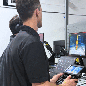
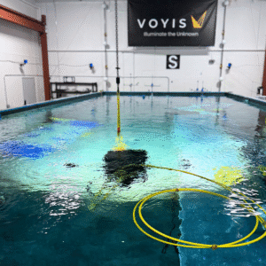
Voyis Academy is a tiered training program developed to help users fully leverage the capabilities of the Discovery Stereo Vision System. From new operators to experienced survey professionals, participants are guided through critical topics such as system integration, VSLAM-enabled data acquisition, and the generation of 3D models using leading photogrammetry software. Available both remotely and onsite, the Academy blends theoretical instruction with live demonstrations and hands-on learning. Each session empowers teams to improve data quality, reduce operational risk, and streamline underwater survey workflows—resulting in faster deployment times and more reliable results.
 “Training is not just a one-time activity—it’s a long-term investment in your team’s confidence, capability, and performance,” said Tim Scott, Technical Support Manager. “Voyis Academy was created to ensure that every user can extract the maximum value from their optical systems.”
Voyis Protect: Maintenance and Calibration for Long-Term Reliability
Voyis Protect is a structured maintenance and calibration service aimed at preserving the long-term accuracy and performance of the Discovery Stereo Vision System. Each service cycle includes a detailed inspection of all optical, mechanical, and electronic components, as well as recalibration using controlled reference targets to maintain precise 3D modeling and image clarity.
In addition to visual and functional testing, the service includes firmware updates and optional hardware upgrades—ensuring that the system remains current with the latest technological advancements. A new Certificate of Calibration is issued with every service, maintaining confidence in data integrity for critical underwater inspections.
33km Over-the-Horizon: OceanAlpha’s L25 USV Validates Long-Range Survey Capability in Malaysia
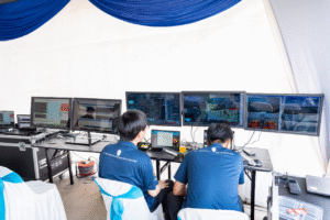
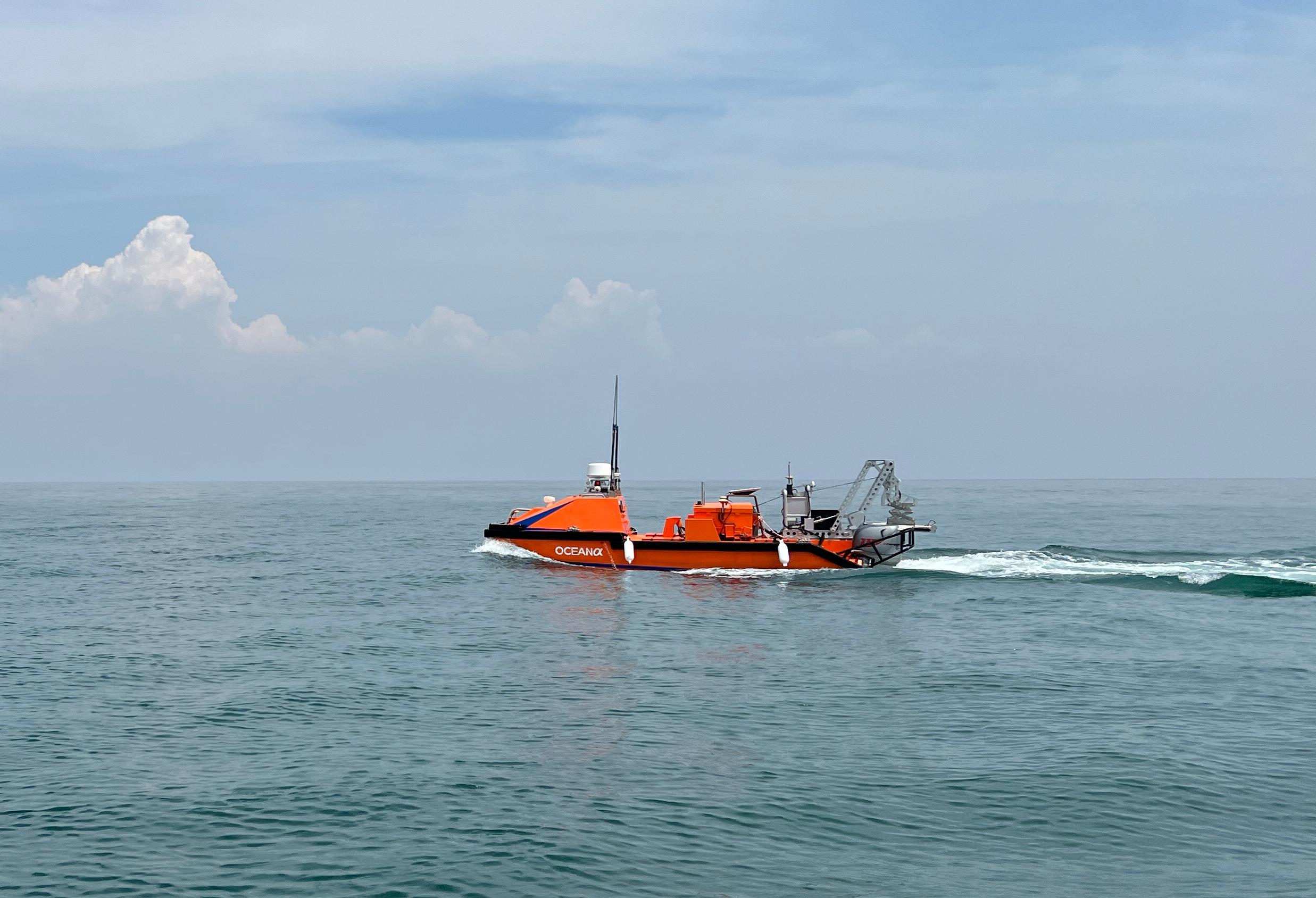
In late June 2025, OceanAlpha’s L25 marine unmanned surface vehicle (USV) has successfully completed its first public demonstration in Malaysia, showcasing its advanced marine survey capabilities in real-world conditions at Port Klang. The late June event, attended by over 60 maritime industry leaders, marked a significant step forward for autonomous survey operations in the region.
The L25 USV directly addressed a critical constraint for offshore marine surveys: crew dependence and costly support vessels typically required for operations beyond line-of-sight (LOS) control range. By successfully conducting a survey mission 33 kilometers offshore while maintaining continuous, stable satellite communications and real-time payload data transmission, the L25 validated reliable Over-the-Horizon (OTH) capability essential for large-scale or remote survey areas.
In the congested waters of Port Klang, the vessel’s advanced perception systems enabled autonomous navigation around moored vessels while dynamically adjusting course to maintain safe distances from high-speed marine traffic. The L25’s integrated automated towfish system demonstrated seamless deployment and retrieval of side-scan sonar equipment, eliminating traditional manual winching requirements and reducing operational risks.
The event also highlighted the L25’s ability to transmit multibeam, side-scan, and sub-bottom profiler data in real time, allowing survey teams to conduct immediate quality control and mission adjustments from shore. This capability significantly reduces decision-making timelines for marine survey operations.
The demonstration was made possible through collaboration with key industry partners, including the Malaysian Maritime Department, which facilitated operational approvals. Tara Advisory co-hosted the event, leveraging its expertise in autonomous systems to ensure practical validation of the L25’s capabilities. Technical partners including TA Geosolutions, Hidrokinetik Technologies, and Clockwise Subsea (NOR Offshore Rental) contributed specialized equipment and regional operational expertise.
"Following the successful demonstration of our L25 in Dubai this May, we are pleased to bring another L25 USV to Southeast Asia and validate how OceanAlpha’s autonomous solutions address critical survey pain points," said Pinestone Shi, General Manager of OceanAlpha. "Looking ahead, we will continue to promote our unmanned surface vessel products and comprehensive solutions worldwide, empowering the marine survey industry to achieve safer, more efficient, and cost-effective operations."
With the L25 USV platform now operational in Southeast Asia and the Middle East, OceanAlpha invites interested parties to inquire about technical specifications, demonstration footage, or potential applications. The company continues to work with regional partners to advance autonomous marine survey solutions.
FET Reinforces Growth in Brazil with Partner Appointment
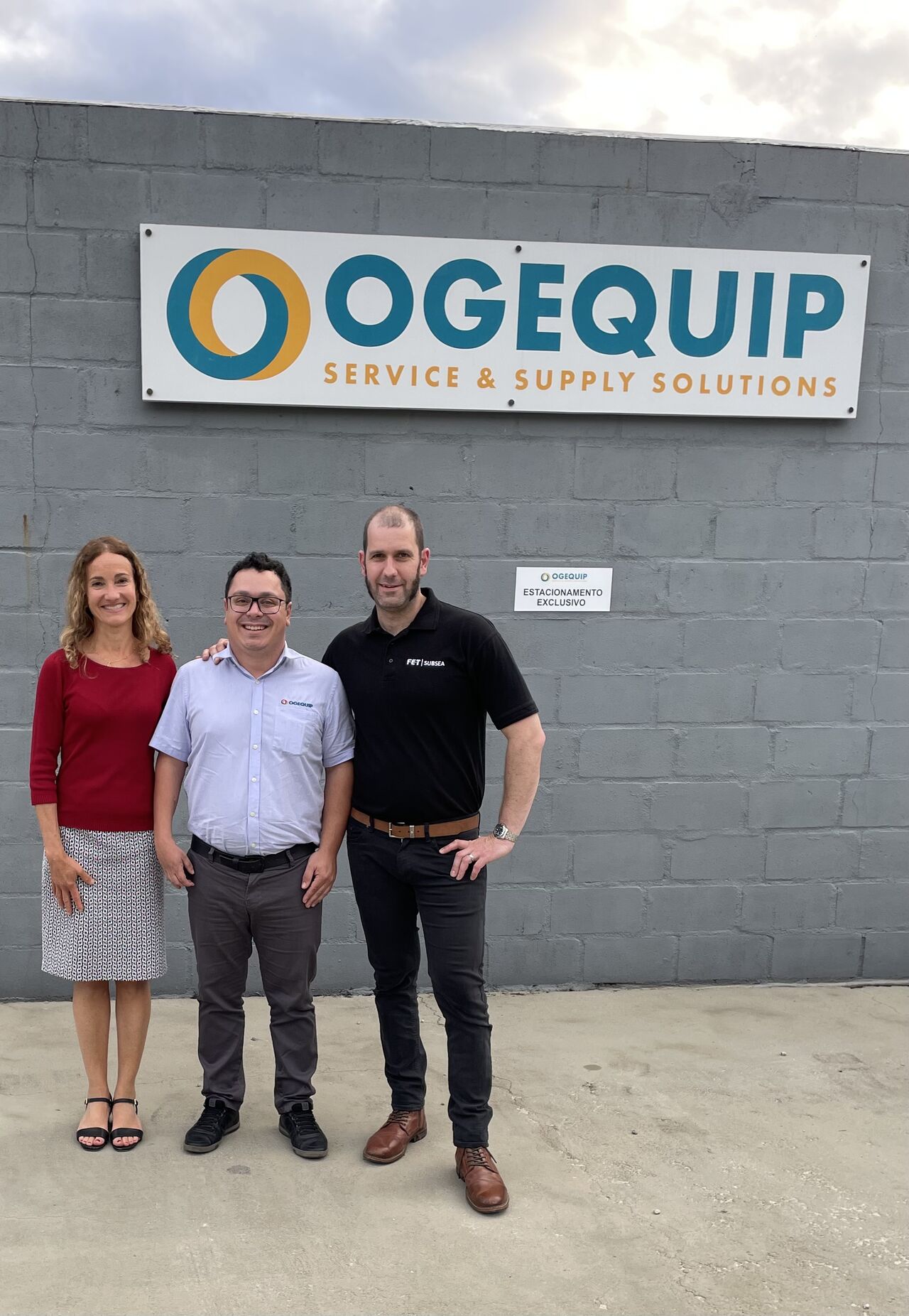
 Forum Energy Technologies (FET) has appointed OGEQUIP to represent its subsea operations in Brazil, further strengthening FET’s position in South America. Under the partnership, OGEQUIP will deliver FET’s Subsea Technologies product line business development, technical and administrative support.
Kevin Taylor, Vice President – Operations, Subsea Technologies said: “As we continue our ambitious strategy to grow our presence in Brazil, maintaining an in-country partner to support high demand is crucial. OGEQUIP has already started to provide local services and we are confident that this partnership will yield great results.
Josimar Almeida, Business and Operations Manager – OGEQUIP said: “We are committed to providing FET with a high standard of technical, administrative and customer support across Brazil and look forward to working closely with the team to enhance its subsea offerings on the continent.”
Headquartered in Macaé, Rio de Janeiro, OGEQUIP specialises in providing maintenance solutions, equipment sales and products for the oil and gas sector. The company will apply its expertise and collaborate with FET to create solutions tailored to customer demands, including onshore and offshore operations and technical support.
PXGEO’s Hans-Peter Burlid takes on new chief strategy & transformation officer role

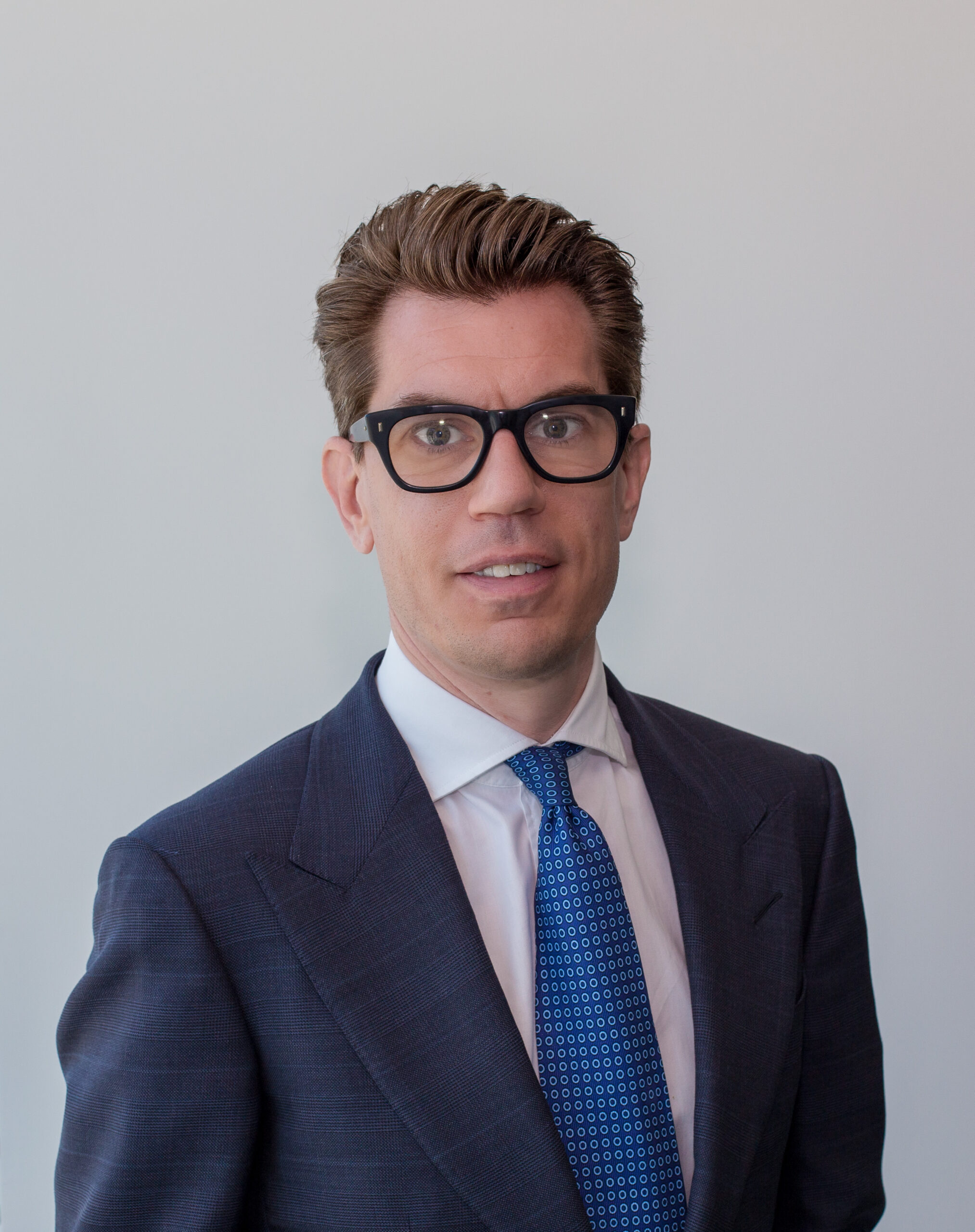
PXGEO has appointed Hans-Peter Burlid to the newly created position of Chief Strategy & Transformation Officer (CS&TO). Mr Burlid, currently the organization’s CCO, will drive long-term strategic direction to deliver sustainable growth and lasting competitive advantage.
A leading specialist in seismic data acquisition and marine geophysical services, PXGEO was established in 2021. The firm employs a workforce of 400 across strategic global locations, including its Dubai headquarters and offices in Paris, Houston, and Oslo, along with a dedicated offshore workforce.
Having been with PXGEO since its inception, Mr Burlid brings an extensive and deep understanding of the company’s operations, culture and commercial landscape. Known for his strong business acumen and a proven track record of driving complex, cross-functional projects, he is well-positioned to lead the company’s strategic agenda under the guidance of newly appointed Executive Chairman and CEO Charles ‘Chuck’ Davison Jnr.
Mr Burlid has 21 years’ experience largely in finance and commercial roles throughout the maritime and subsea data acquisition industry. Notably, prior to PXGEO, he spent 13 years at Polarcus, a publicly traded geophysical service provider, where he rose through the ranks to become CFO for five years.
On taking up the CS & TO role, Mr Burlid said: "I am excited to take on this new responsibility at PXGEO. The opportunity to forge strategic clarity and lead transformational change aligns with my passion for innovation and delivering lasting business impact. I look forward to working closely with Chuck and the team to unlock new growth opportunities and build on our position as a global leader in seismic data acquisition."
Mr Davison said: "“I believe in building careers as well as a sustainable business, and this appointment reflects that commitment. We’ve been fortunate to benefit from Hans-Peter’s commercial expertise and leadership during his tenure as CCO. His deep knowledge of our organisation and his strategic mindset will be invaluable as we advance our growth agenda and execute our long-term plans. With Hans-Peter undertaking this new assignment, we are confident PXGEO will continue to evolve and strengthen its market position around the world."