
DEEP Partners with Unique Group to Deliver Next-Generation Subsea Human Habitat
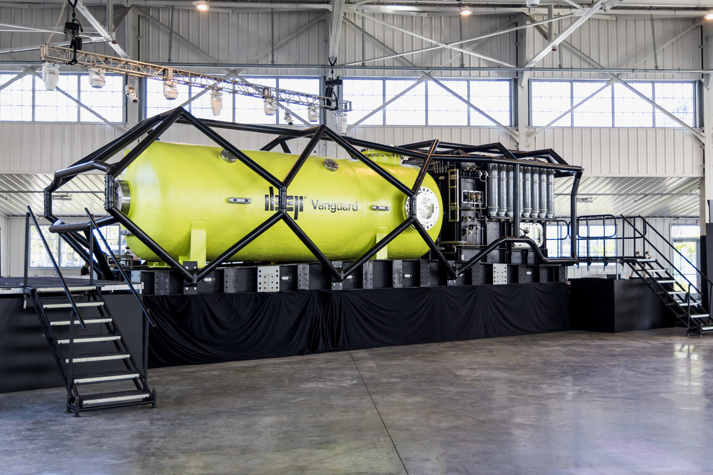
 Unique Group, a global leader in subsea technologies and engineering, is proud to be the specialised technology provider for DEEP’s pioneering subsea human habitat programme. Unique Group is responsible for the design, engineering, and project management of several critical systems vital to the deployment of the pilot habitat, Vanguard.
DEEP’s mission is to Make Humans Aquatic and their long-term roadmap includes building Sentinel, a larger subsea habitat system that enables researchers and scientists to live and operate underwater at depths of up to 200 meters for up to 7 days or more at a time. The first pilot habitat, Vanguard, is being built right now in Sebastian, Florida, and will be followed by the Sentinel habitat in the years following, marking a significant advancement in ocean exploration.
Unique Group’s scope includes foundation design and geotechnical survey management, metocean data collection, and cyclonic survivability studies. Using Computational Fluid Dynamics (CFD), they optimized the foundation’s stability against extreme ocean forces. The foundation base plate, currently under fabrication in the USA, weighs over 300 tons and incorporates multiple anchoring systems.
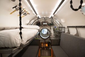
The company also engineered the mooring spread for the habitat support buoy and managed the internal fit-out of the Vanguard chamber, delivering all furniture, fixtures, and fittings tailored to operational and ergonomic needs. Additionally, Unique Group supplies the full fluids management and life-support gas systems.
Leveraging decades of subsea expertise, Unique Group has provided offshore installation support and advisory services throughout the project. Their custom-engineered solutions reflect a focus on safety, efficiency, and sustainability to ensure mission success.
 “Our collaboration with DEEP on the Vanguard project marks a defining milestone in subsea living and engineering,” said Dave Thompson, Group Engineering Director at Unique Group. “This partnership demonstrates the strength of our in-house design and manufacturing capabilities, and our commitment to advancing safe, sustainable solutions for the future of underwater research and exploration.”
Designed for a four-person crew on missions of seven days or more, Vanguard will support scientific research, marine conservation, and technology testing. It will also be the first subsea habitat classified under DNV’s rigorous ruleset, reflecting DEEP’s and Unique Group’s dedication to safety and innovation.
“We’re thrilled to partner with Unique Group on this ambitious project. Their expertise in engineering and subsea systems has been invaluable in realizing our vision for Vanguard. We look forward to starting a new chapter in underwater habitation and scientific exploration,” said Norman Smith, Chief Technology Officer, DEEP.
Unique Group’s involvement in this landmark programme reinforces its position as a trusted partner for complex subsea developments worldwide. With over 30 years of experience, a multidisciplinary in-house engineering team, and a global footprint across 18 countries, the company continues to drive innovation across the offshore energy, marine research, and naval sectors.

MetOceanWorks launches next-generation marine data platform, MetOceanAtlas
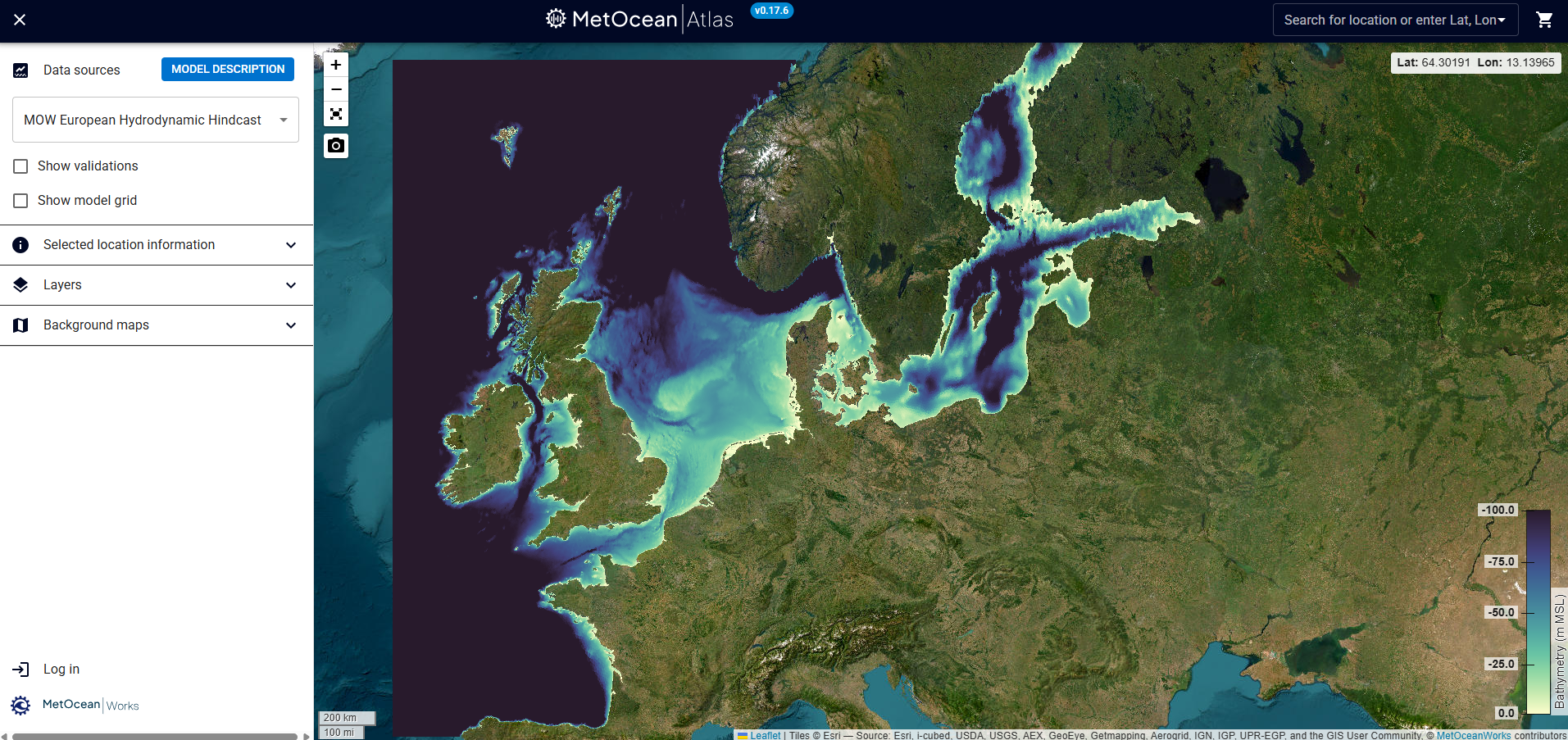
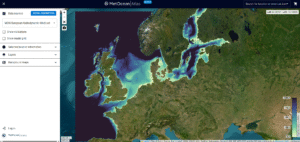 MetOceanWorks is pleased to announce the launch of MetOceanAtlas, a next-generation marine data platform designed to transform the way marine professionals access, visualise, and engage with oceanographic information. Developed through years of specialist expertise and close collaboration with clients across the marine sector, MetOceanAtlas consolidates trusted, quality-assured datasets into a single intuitive, cloud-based environment.
Providing comprehensive wave, current, wind, and water-level data across the European continental shelf, the platform supports offshore energy developers, coastal engineers, shipping operators, and researchers with the tools they need to make confident, data-driven decisions. Interactive visualisation, streamlined data purchasing, and scalable infrastructure ensure that MetOceanAtlas meets the requirements of modern workflows.
“MetOceanAtlas represents a major step forward in accessible, high-quality metocean data provision,” said Andrew Watson (Managing Director, MetOceanWorks Ltd). “Its development reflects our commitment to delivering robust, reliable data solutions that support the needs of marine professionals.”
Built for future expansion, MetOceanAtlas will continue to evolve with new regions and advanced analytics features already planned in the development roadmap.
For more information or to create a free account, please visit metoceanatlas.com or metoceanworks.com.
Sonardyne to provide passive seismic monitoring services to Northern Endurance Partnership
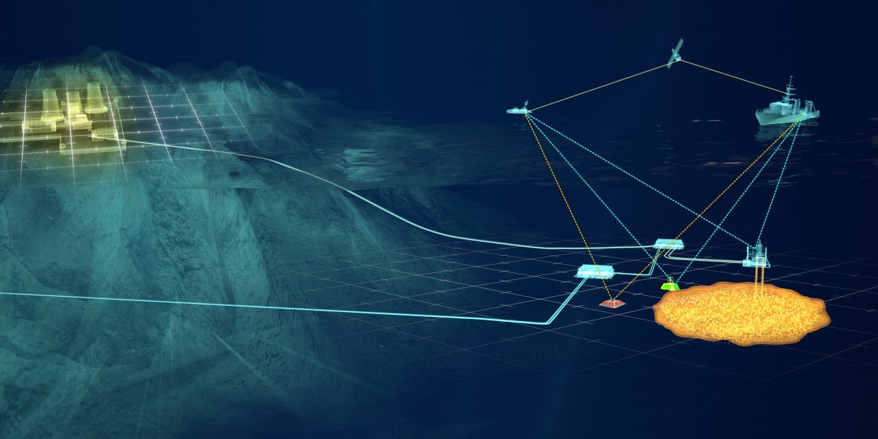
Underwater technology company Sonardyne is to provide passive seismic monitoring services at the UK’s first carbon capture and storage (CCS) site.
The services, added to an existing contract with Northern Endurance Partnership (NEP) will form part of a wider monitoring programme at the Endurance CO2 storage site beneath the North Sea.
Sonardyne will adapt, deploy and operate advanced ocean bottom seismometers (OBSs), manufactured by Germany technology company KUM GmbH, on the seabed above the Endurance storage reservoir, about 75 km off the coast of Yorkshire.
NEP will enable carbon captured by emitters in Teesside and the Humber – collectively known as the East Coast Cluster – to be transported and then stored in Endurance, and neighbouring storage sites.
The initial phase of the project is expected to see up to 100 million tonnes of CO2 stored in the Endurance aquifer over a 25-year period, helping to achieve net zero goals in one of the UK’s most carbon intensive industrial regions.
The additional work scope at Endurance is a further endorsement of Sonardyne’s capabilities in support of CCS operations, building on its existing contract to provide environmental monitoring services using Sonardyne technologies across the Endurance site.
“NEP is continuing to lead the UK's journey to net zero through its development of carbon capture and storage at the Endurance site. Our collaboration with Sonardyne plays a critical role in ensuring carbon is stored safely and securely,” says Michael McGhie, Technical Manager at NEP.
The passive seismic monitoring services to be provided will generate baseline data ahead of NEP operations, with a potential for these services to continue into injection, to provide longer-term surveillance of the subsurface.
Storage at the site is expected to start in 2028, making it the first operational CCS project in the UK.
“Being trusted to deliver passive seismic monitoring, in addition to environmental monitoring, for the UK’s first CCS project is an honour and highlights Sonardyne’s technical leadership in subsea environmental monitoring,” says Stephen Auld, Business Development Manager for Custom Projects at Sonardyne.
“We are committed to supporting NEP’s work to deliver safe, long-term containment of CO₂ offshore and are very proud to contribute our expertise to this landmark project.”
The OBS monitoring scope is expected to start in the summer of 2026 with the first seismic data delivered to NEP one year later. This will help to characterise any naturally occurring seismic activity in this region.
Peel Ports Enhances Pilot Safety with Real-Time Wave Data Integration
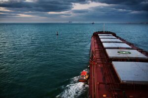
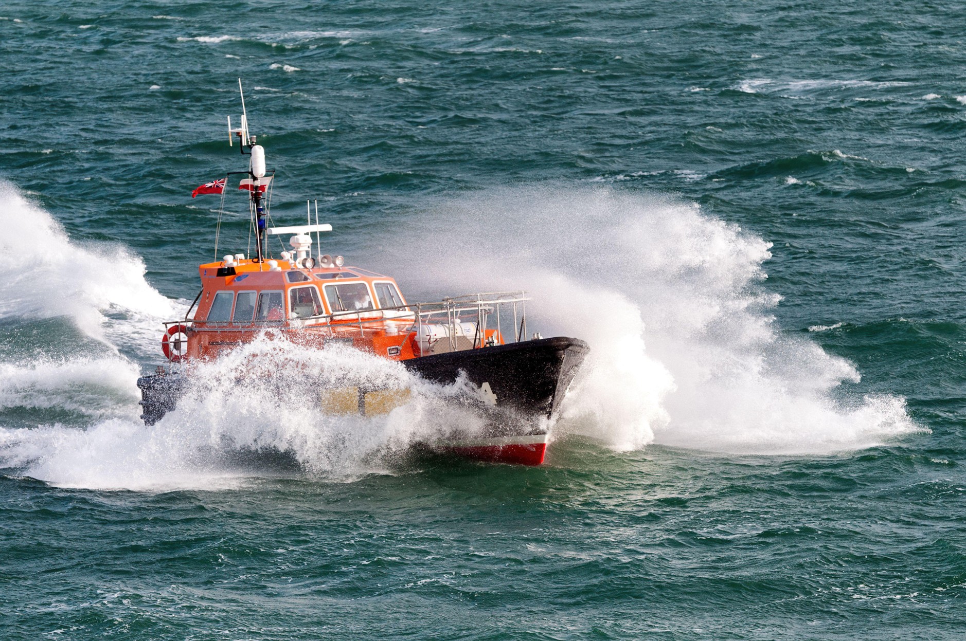
When pilots from Peel Ports Group head out into the Irish Sea to board incoming vessels, timing is everything. The sea state can shift quickly, and rough waves can make pilot transfers not just difficult, but dangerous.
Peel Ports Group has taken a major step forward in maritime safety by integrating real-time wave data from a nearby buoy into its operations, dramatically improving decision-making for pilot transfers in the Irish Sea.
Until recently, Peel Ports pilots relied on experience and judgment to determine whether conditions were safe for boarding incoming vessels. With sea states changing rapidly, these decisions carried significant risk. Now, thanks to a collaboration between Peel Ports, Cefas, and marine data specialists OceanWise, that risk has been greatly reduced.
By connecting the Cefas buoy stationed near a key boarding point to the OceanWise Data platform Port-Log, live wave information is instantly accessible from any smart device. This innovation means port and VTS teams can assess offshore conditions at a glance, enabling faster, better-informed decisions that keep pilots safe and operations running smoothly.
"Having real-time wave data available in Port-Log has transformed the way we assess pilot boarding conditions," said Russell Bird of Peel Ports Group. "We can now make faster, better-informed decisions that keep our pilots safe and our operations running smoothly."
The integration not only enhances safety but also reduces unnecessary trips into challenging seas, improving operational efficiency and sustainability. If you would like to discuss wave data integration or learn how OceanWise are able to support your marine environmental monitoring requirements, please contact www.oceanwise-global.com / [email protected] / +44 (0) 1420 768262.
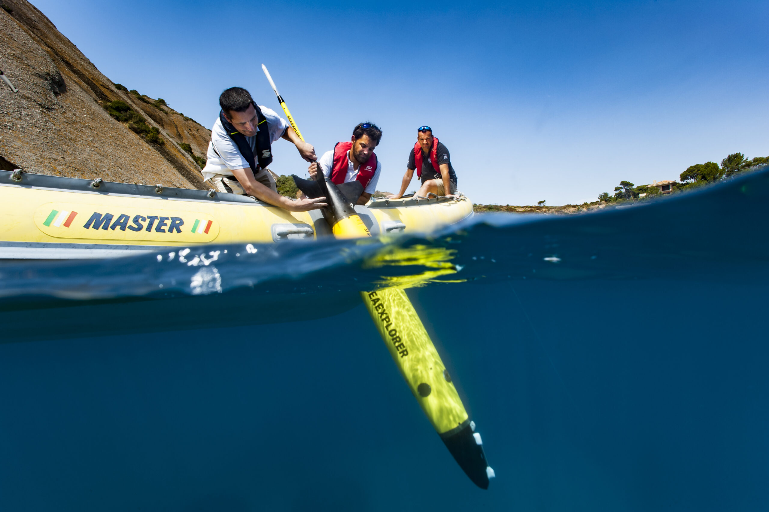
France 2030: Ifremer entrusts ALSEAMAR with the design of a deep-sea glider capable of reaching 3,500 meters
 Following a call for proposals launched under the “Deep Seabed” priority of the France 2030 investment plan, Ifremer has announced the award of a contract to the French company ALSEAMAR for the design and development of a deep-sea underwater glider. This ambitious project will strengthen France’s capabilities in deep-ocean exploration and observation, a field that lies at the heart of major global scientific and societal challenges.
The initiative is funded by the French National Research Agency (ANR) on behalf of the French government, as part of France 2030. Ifremer serves as the project lead, in partnership with the CNRS and Shom. A scientific user group will be closely involved in defining the sensors to be developed or integrated, ensuring that the new system meets the evolving needs of ocean research.
A NEW DEEP-SEA GLIDER TO ADVANCE SCIENTIFIC RESEARCH ON THE DEEP OCEAN
Underwater gliders are revolutionary tools for ocean exploration: autonomous and remotely operated, they carry a suite of sensors and can currently traverse the oceans to collect oceanographic data—from physics to biology—from the surface down to about 1,000–1,200 meters for scientific research.
Today, as the deep ocean lies at the heart of major global scientific and societal challenges, the marine science community has a strong need for a glider capable of diving to depths of up to 3,500 meters.
FIRST DEPLOYMENTS IN THE MEDITERRANEAN AND THEN OFF MAYOTTE
Once the design phase of this new glider is complete, an initial field demonstration will take place in the Mediterranean Sea to observe variations in the physical and biogeochemical properties of deep waters, and to assess the impacts of climate change. This mission will be conducted as part of the MOOSE National Observation Service, coordinated by CNRS-INSU.
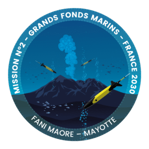
Several prototypes will then be deployed for one year off the coast of Mayotte to enhance knowledge of underwater hazards and geological and seismic risks linked to the Fani Maoré submarine volcano, discovered in 2019.
The new data collected during these deployments will complement those gathered since September 2021 by ALSEAMAR’s SEAEXPLORER gliders (capable of operating at depths up to 1,250 meters) at the request of Ifremer, within the framework of the Mayotte Volcanological and Seismological Monitoring Network (REVOSIMA).
These future deployments will not only expand scientific knowledge in these key regions of the globe but also validate this new tool for deep-ocean exploration and monitoring.
The new deep-sea glider will join the extensive fleet of underwater vehicles available to the French scientific community, supporting research on ocean circulation, climate change impacts, and seismic and volcanic activity.
OBJECTIVE: DEEP-SEA EXPLORATION
The current range of underwater gliders used by the scientific community and manufactured by ALSEAMAR—the only European designer and producer of underwater gliders—already allows oceanographic studies from the coast down to depths of 1,250 meters.
Surpassing this depth limit presents significant technological challenges, which ALSEAMAR will address by leveraging its recognized expertise in autonomous platform development, as well as in ocean data acquisition and processing, to design this new generation of vehicles.
This mission reflects the ambition of the French government, through France 2030, to advance scientific knowledge of the deep ocean while supporting the emergence of a competitive national industrial sector in underwater technologies.
NOR Offshore Rental acquires ECHO81
 Expanding its global footprint in offshore & subsea rental solutions.
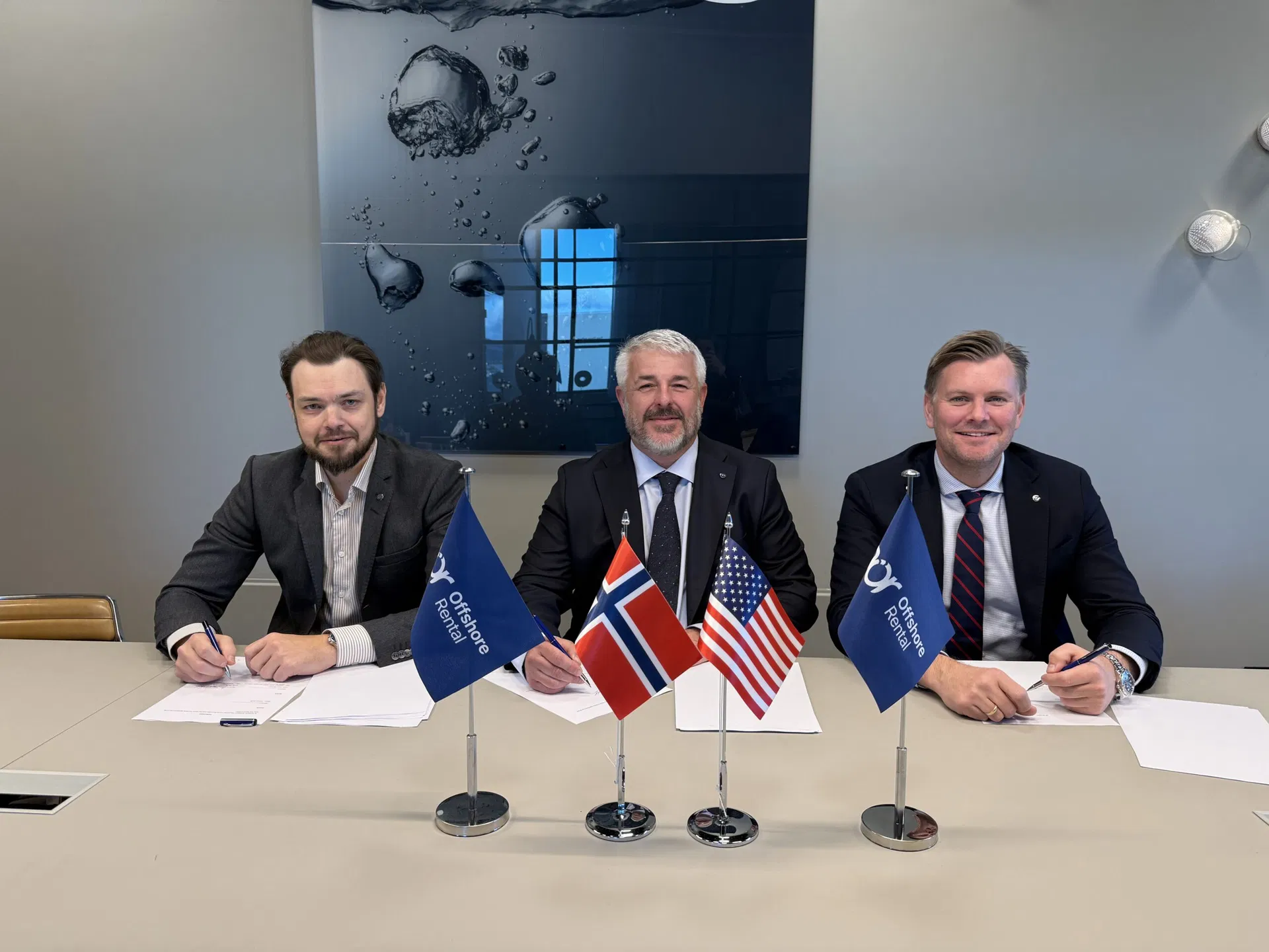
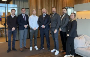
NOR Offshore Rental (NOR) today announced the acquisition of ECHO81, a leading US-based provider of subsea survey equipment and technical services. The acquisition marks a significant step in NOR’s global growth strategy and strengthens the company’s position in the North American market.
“The acquisition of ECHO81 represents an important milestone in our journey to become a truly global provider of offshore and subsea solutions and equipment rentals,” said Tore Gautesen, CEO of NOR Offshore Rental. “Damon and his team have built an exceptional business with deep industry knowledge and a customer-focused culture that aligns perfectly with ours. We are very proud to welcome ECHO81 into the NOR family.”
ECHO81 is headquartered in Hartwell (Georgia), with offices in Houston, Maine and New Jersey. The team has built a strong reputation as a trusted supplier of hydrographic and oceanographic equipment, serving customers across the Americas. With this acquisition, NOR Offshore Rental adds a strategic hub for equipment rental, sales, and support services in the US, complementing its existing operations in Norway, the UK, India, Malaysia, Singapore, and Australia.
Founder and main shareholder of NOR, Jan Sigurd Østebøvik gives following comment on the acquisition “We have followed Echo81 for some time and I have great respect for Damon Wolfe as a person, and how he and his team have built a well-run and highly respected company in the U.S. This acquisition will give NOR a stronger presence in the United States and reinforces our position across key geographic markets and customer segments. I’m very pleased that Damon will become a shareholder in NOR, reflecting our shared commitment to long-term growth.”
As part of the transaction, ECHO81 founder Damon Wolfe will be staying on as Regional Director for NOR US and Americas regions operations. The combination of NOR’s extensive rental fleet and ECHO81’s regional experience will enable customers on both sides of the Atlantic to access a broader range of equipment and technical services. NOR will make substantial investment in equipment in the US to further strengthen its offering and support continued growth in the region.
“Joining NOR Offshore Rental is an exciting next step for ECHO81,” said Damon Wolfe, CEO of ECHO81. “We share the same values—technical excellence, service quality, and strong relationships with our clients. This partnership gives us the resources and global reach to accelerate our growth while continuing to deliver the personal service our customers value.”
“This is a significant step forward for NOR,” said Jostein Jansen, CCO of NOR Offshore Rental Group. “By joining forces, we can now offer the best of both worlds – local presence and global capacity. Our clients will benefit from greater access to top-tier rental solutions, and the consistent, high-quality service NOR is known for.”
PXGEO secures two OBN seismic acquisition contracts with Petrobras
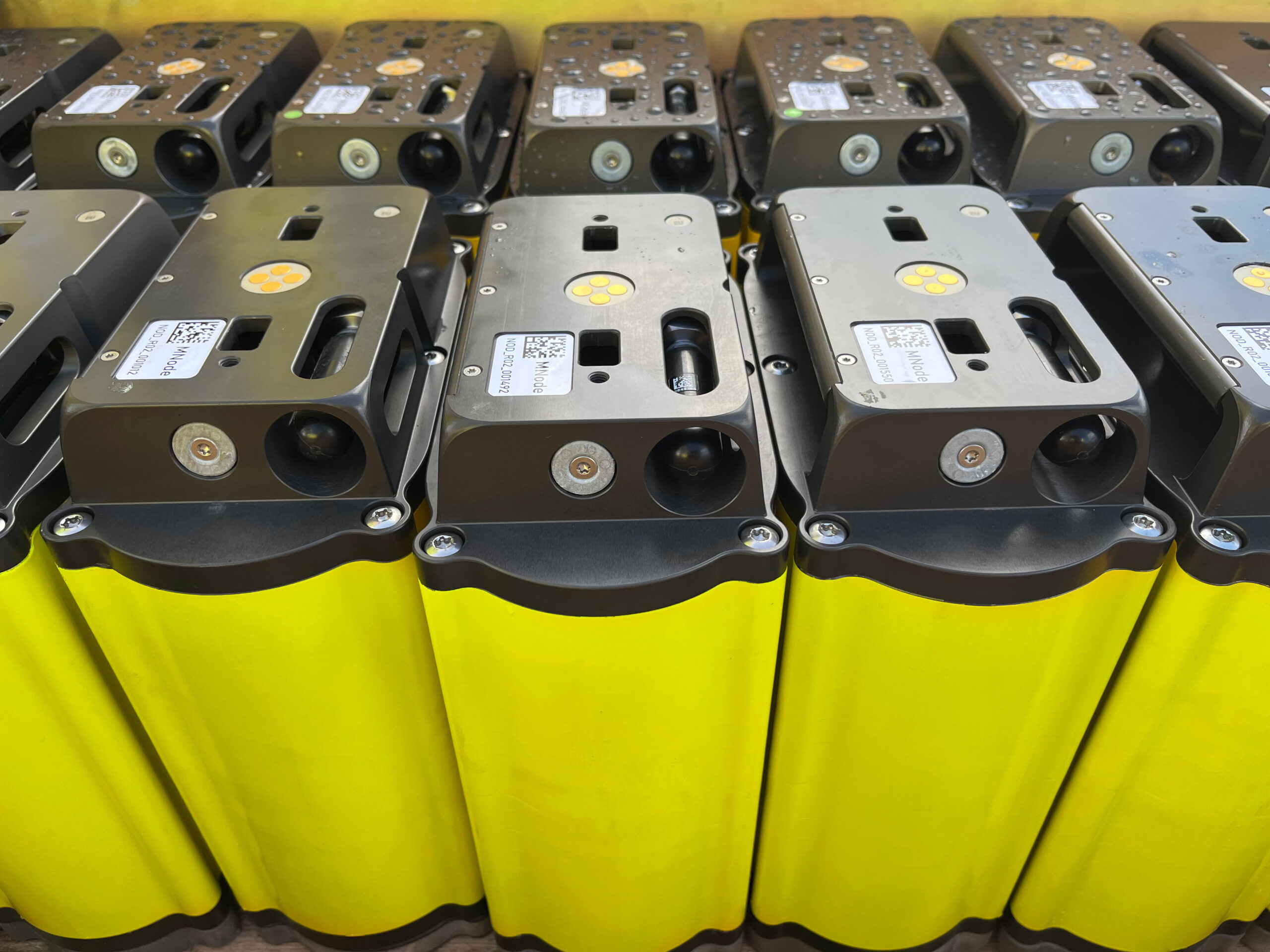
 PXGEO has been awarded two significant contracts from Petrobras-led consortia, to deliver seismic data acquisition and monitoring services in the Santos Basin, offshore Brazil. The deal further extends the business’ presence in Brazil.
The projects will run consecutively in 2026 with PXGEO deploying its proprietary MNode 4C ocean bottom node (OBN) technology as part of the scope. The company’s MNode technology delivers a 300-day battery life, enabling extended deployment time, which is well suited for larger, more complex surveys. The enhanced operating time means surveys can run uninterrupted for extended periods, reducing the need for frequent retrieval and redeployment and projects with timelines challenged by high levels of environmental standby.
Brent O’Brien, Head of Sales - Americas at PXGEO said: "These latest contracts are a significant win for PXGEO as we consolidate our presence in Brazil with MNode technology benefiting Petrobras and its partners.
“OBN technology is widely recognized for delivering the seismic clarity needed to tackle intricate geology. Operators can better identify bypassed hydrocarbons, track fluid movement within the reservoir, and monitor compaction with confidence. Armed with these insights, our customers can make informed decisions to optimize reservoir performance and maximize recovery rates in both new and mature fields, knowing that MNode endurance allows them to design and execute projects with optimal timing and cost control.”
Charles ‘Chuck’ Davison Jr, PXGEO CEO said: “PXGEO has been at the forefront of the transition to OBN in Brazil and these projects demonstrate the capability and innovation we continue to successfully deliver. As reservoirs grow more complex and exploration pushes into deeper waters, so does the need for high-resolution seismic surveys.
“Over the past four years, we have completed six surveys in the region, where our reputation for quality and reliable delivery is continuing to grow as operators see the value our technology unlocks. This work is a testament to the dedication and skills of our people as well as our commitment to R&D and reinforces our position as a trusted partner in safe, efficient and innovative seismic solutions for the energy sector.”
Cornwall Marine Network hits milestone of 5,000 new jobs
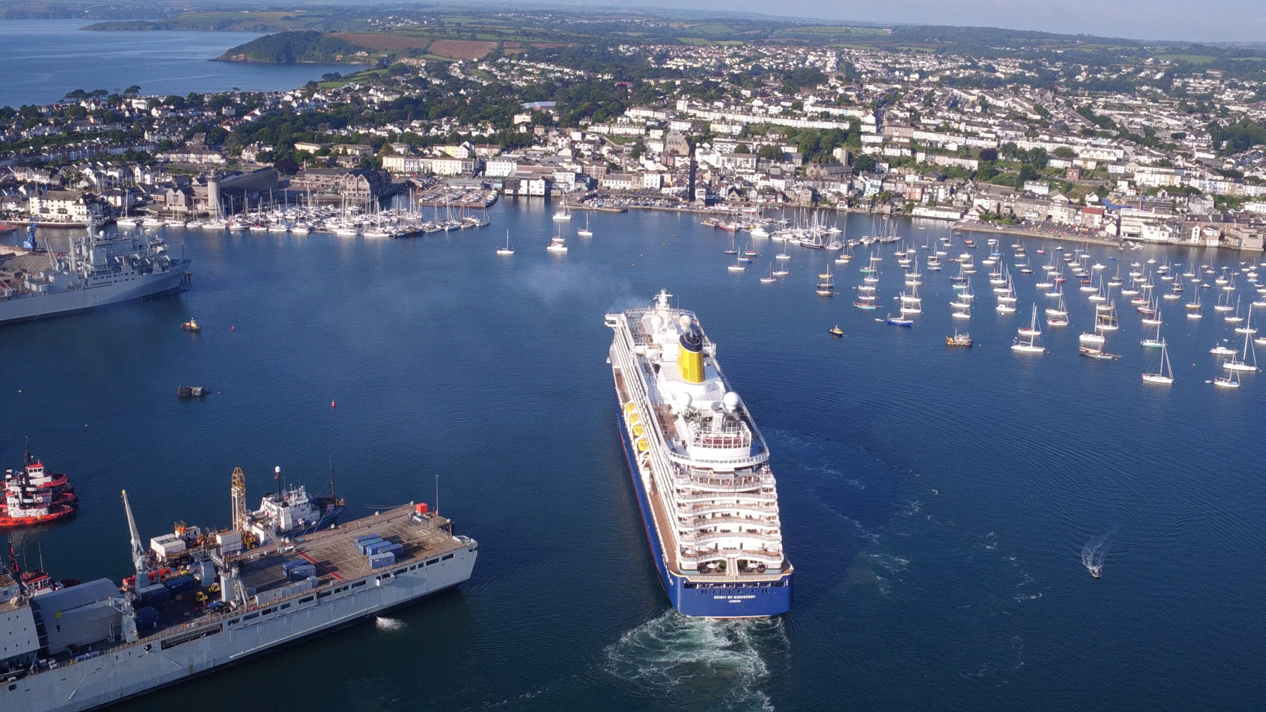
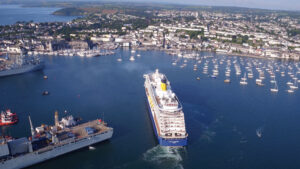 Cornwall Marine Network has hit a significant milestone as it announces it has created 5,000 new marine sector jobs in the region.
Cornwall Marine Network is a not-for-profit marine trade organisation that supports marine businesses in Cornwall UK through a unique combination of innovation support, skills training and apprenticeships as well as securing grant funding to help businesses grow.
CEO Paul Wickes MBE said: “There is no other privately owned non-profit marine network in the UK or Europe that has achieved the size, scale and impact that we have. Since 2005, we have attracted more than £42 million of direct investment into Cornwall’s marine sector and as a result we have supported businesses to create 5,000 new jobs through our funded projects and our pioneering apprenticeship scheme. We have also worked in partnership with national colleagues and over 90 European project partners to share best practice.”
Chris Shirling-Rooke MBE, CEO of Maritime UK, said: “This is a monumental achievement for Cornwall Marine Network and a powerful example of the vital role regional clusters play in the UK's thriving maritime sector. Hitting the milestone of 5,000 new jobs is a testament to the dedication, innovation, and impact of their work. I congratulate the team for their amazing work in driving economic growth and skills development in the region. We at Maritime UK are delighted to see this success.”
Richard Parkinson, CEO of Inyanga Marine Energy Group, based in Cornwall, said: “Cornwall Marine Network has helped us secure funding to seize the fast-growing global opportunities in renewable ocean energy. Our innovative tidal energy technology, HydroWing, is set to deploy in projects around the world, including at Morlais in Wales and the first tidal energy plant in Southeast Asia. We are also expanding in Canada and France.”
Another business supported by Cornwall Marine Network is Keynvor MorLift Ltd (KML), Falmouth-based marine contractors specialising in shoreline, coastal and offshore services and operations. Awarded a capital grant by Cornwall Marine Network in 2016, KML purchased Falmouth Wharves, a rare deep-water site in Falmouth Harbour which enabled the company to grow significantly, initially creating 39 new well-paid jobs. As the company has continued to expand, a further 50 jobs have been created.
KML Managing Director Diccon Rogers said: “Acquiring the site at Falmouth Wharves was the catalyst for our subsequent national and international growth and we will always be grateful for the support from Cornwall Marine Network which has been pivotal to our success.”
Jayne Kirkham, Member of UK Parliament for Truro and Falmouth, said: “Cornwall Marine Network is a vital catalyst for Cornwall’s marine sector, helping to deliver the UK government’s ambitions for economic growth. Their outstanding achievements have already created over £700 million of Gross Value Added to Cornwall’s economy and they are continuing to raise the bar. For example, their new pre-apprenticeship scheme, which delivers training to young people at marine employers’ premises while they are still at school, is a groundbreaking scheme that will nurture the talent of the future.”
Paul Wickes adds: “Because Cornwall Marine Network is owned by its 370 marine business members, any profits are put back into initiatives to drive growth for these businesses. Hitting the milestone of 5,000 new jobs is very much a joint achievement.
“It is also proof that our business model works. We are looking forward to working with partners to roll our exciting model out across the UK and further afield.”
IQUA Robotics participation in REPMUS 2025
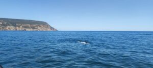
Robotic Experimentation and Prototyping using Maritime Uncrewed Systems – exercise took place one more year in Lisbon’s southern coastal area during September 2025, hosted by the Portuguese Navy. With the participation of multiple NATO countries, this experimental setup allows different market stakeholders to test their technologies in several realistic scenarios.
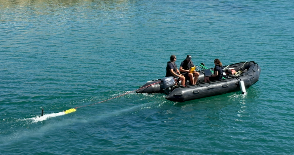
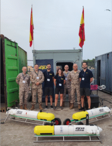
For the fourth year in a row, IQUA Robotics participated in REPMUS25 at the invitation of the Spanish Navy. The company deployed its SPARUS II UUV in two key exercises: mine countermeasures (MCM) and critical underwater infrastructure (CUI). Besides, the team collaborated with the Spanish Navy, the US Navy and Thales Group to test interoperability capabilities in the framework of STANAG 4817.
Setup
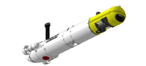
This year, IQUA participated in REPMUS with SPARUS II equipped with a forward-looking sonar (FLS) from Blueprint Subsea, a multibeam echosounder (MBES) from Norbit, and a vision system developed by IQUA Robotics in the payload area.
The vehicle used had the following advanced capabilities:
- Automatic target detection on low-frequency FLS images.
- Real-time planning of reacquisition trajectories upon a detection.
- Multimodal contact mapping: acoustic imaging with high-frequency FLS, 3D profiles with the multibeam sonar, and optical imaging of inspected contacts.
- Onboard generation of optical maps of inspections for rapid review at the end of a mission.
- STANAG 4817 for interoperability.
- Semi-automatic APP-11 report generation.
MCM scenario: detection, reacquisition and identification
Motivation
Mine Countermeasure (MCM) operations are critical for ensuring the safety and freedom of navigation in both military and civilian maritime domains. Advanced MCM capabilities enable the detection, classification, and neutralization of these threats, reducing operational risk and protecting human lives and assets.
With the increasing complexity of mine designs and the expanding use of unmanned systems, there is a growing need for innovative technologies that combine efficient area coverage, accurate target identification, and rapid decision-making. Autonomous vehicles equipped with multimodal sensors and intelligent algorithms offer a transformative approach to MCM, enabling faster and more effective detection and classification of underwater threats.
Approach
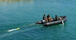
IQUA Robotics’ SPARUS II vehicle tested its approach for mine detection and identification, by conducting multiple surveys in the designated naval mine warfare areas of REPMUS25 exercise.
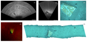
The MCM approach is designed to combine detection and reacquisition in a single mission. For each task, a predefined survey trajectory was programmed to cover the area while scanning with the FLS at low frequency. An automatic detector was responsible for identifying potential contacts in the incoming FLS images, pausing the predefined trajectory, and replanning in real time a reacquisition manoeuvre to collect close-range data on the potential contact, including optical camera images, high-frequency FLS images, and multibeam profiles. After each reacquisition, the vehicle resumed the predefined path and continued scanning for additional potential contacts until the trajectory was completed. With this approach, by the end of the mission, the vehicle has collected all the necessary information to perform identification of the detected objects.
The onboard capability to generate optical maps of the inspections proved to be particularly useful. This allowed the reacquired areas to be quickly reviewed as soon as the vehicle surfaced, enabling the confirmation of potential contacts at a glance without the need to download all the inspection images and identify the ones that passed over the target in question.
CUI: detecting, tracking and mapping
Motivation
Monitoring underwater critical infrastructure is essential for national security and economic stability. Subsea cables, pipelines, and energy systems form the backbone of global communications, finance, and energy supply, making them prime targets for sabotage or disruption. Their remote and often complicated locations, combined with the technical complexity and high costs of reaching underwater areas, make them difficult to protect and, as a consequence, highly vulnerable.
Advanced technical monitoring—using sensors, autonomous underwater vehicles, sonar, and real-time data analytics—enables early detection of tampering, natural hazards, or system failures. These capabilities allow for rapid response to minimize damage and maintain operational capacities. As undersea technologies evolve, safeguarding these assets through technical innovation also becomes a critical element of geopolitical competition, ensuring nations can protect vital networks, deter threats, and preserve trust in the systems that underpin modern society.
Approach
IQUA Robotics’ SPARUS II vehicle tested its approach for cable detection and tracking in the designated shallow CUI area during the REPMUS25 exercise.
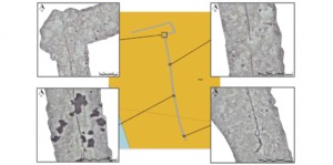
In this edition, unlike previous years where sonar-based detectors were used, a new optical detector and tracker was evaluated for the localization and mapping of a cable within the designated area using camera images.
An initial low-density “lawn-mower” survey was programmed to cover the area, with the goal of crossing and locating the cable. At a certain point during this mission, the vehicle detected the cable in the incoming images, and tracking was automatically activated without human intervention. The vehicle then followed the cable in one direction until reaching its end, adjusting along slight bendings to maintain it in sight. Subsequently, the mission was repeated with the tracking behavior in the opposite direction, achieving a complete mapping of the cable. After the mission, all collected data was used to generate a map where all the cable can be seen. A total length of 280m was automatically tracked and mapped.
STANAG 4817 interoperability
Motivation
The primary motivation for STANAG 4817 is to enable multi-domain control of unmanned systems across NATO by establishing a common, interoperable framework for command and control (C2) of unmanned aerial, surface, and underwater vehicles (UxV). This standard facilitates the coordinated operation of diverse unmanned platforms by a single operator or a distributed network of operators, which is crucial for complex, multinational operations in compromised environments and for improving mission effectiveness, data sharing, and overall interoperability within the alliance.
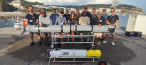
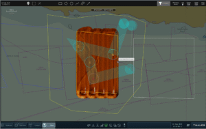
In this year’s REPMUS, the SPARUS II UUV was upgraded to use the latest available STANAG 4817 protocol specification, enabling not only status reporting but also allowing it to be tasked by third-party assets. STANAG 4817 interoperability was successfully validated through two separate tests with the United States Navy and the THALES Group, in which SPARUS II acted as the vehicle for target reacquisition and identification.
Approach
In the first case, the US MK18 REMUS vehicle was used to scan two areas with potential targets. During the operation, a reacquisition task in the first area was issued via the 4817 protocol. Upon reception at IQUA’s control station, a mission was automatically generated for SPARUS II to reacquire the designated contacts. A key aspect of this collaboration was the rapid response time and task parallelization: in less than 20 minutes from task reception, SPARUS II had reacquired the two contacts and captured optical images confirming their nature, while the detection vehicle continued scanning the remaining assigned areas.
Similarly, a collaboration was carried out with THALES. Using their M-Cube Mission Management system, SPARUS II was tasked with reacquiring four contacts in a specific area. The task was received while the vehicle was in transit, and IQUA’s system automatically planned a reacquisition trajectory to cover all contacts.
Summary
IQUA Robotics successfully participated in REPMUS 2025, deploying its SPARUS II UUV in mine countermeasures (MCM) and critical underwater infrastructure (CUI) exercises. Once again, collaboration with the Spanish Navy enabled us to participate and achieve successful results. SPARUS II, equipped with advanced sonars and a vision system, demonstrated automatic target detection, real-time reacquisition planning, multimodal contact mapping, and onboard optical map generation in MCM scenarios. For CUI, a new optical detector and tracker enabled autonomous cable localization and mapping, with 280m of cable successfully tracked. Additionally, IQUA Robotics validated STANAG 4817 interoperability by integrating the SPARUS II with US Navy’s MK18 REMUS and THALES Group’s M-Cube system for target reacquisition and identification, showcasing rapid response and task parallelization in a multinational setting.
Fugro completes surveys for Italy’s Rimini offshore wind farm development
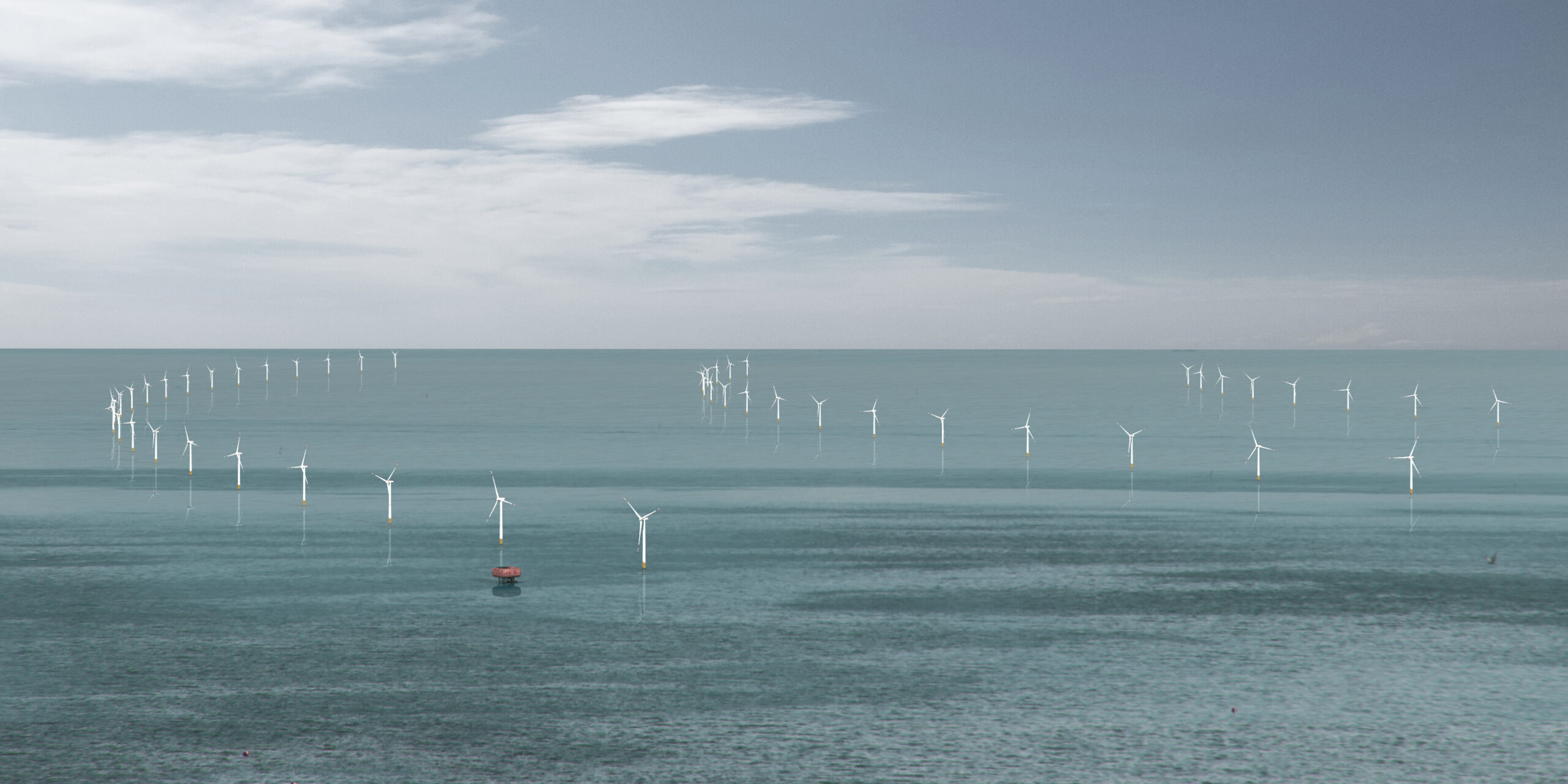
 Fugro has completed geophysical and archaeological surveys for Energia Wind 2020 to support the development of the Rimini offshore wind farm. As one of Italy’s first fixed-bottom offshore wind initiatives, the 330 MW project represents a major step forward in the country’s energy transition. Fugro’s Geo-data will be key to selecting optimal cable routes and informing engineering designs for the wind farm’s infrastructure, helping reduce project risks and enabling safe, efficient, and environmentally responsible development.
Successfully delivered in October 2025, the survey covered both the wind farm site and the export cable corridor, located approximately 12 nautical miles off the coast of Rimini in the Adriatic Sea. Fugro deployed two dedicated vessels to accelerate data acquisition and ensure efficient coverage of the area. This dual-vessel strategy enabled high-resolution mapping of the seabed and subsurface conditions, using ultra high-resolution shallow seismic data and geophysical investigations, while also identifying and preserving potential archaeological features critical to the project's planning and permitting process.
“Fugro delivered a highly professional and efficient survey and consultancy service, meeting all our technical requirements within the planned timeline and budget. Their expertise and responsiveness were key to the success of this phase of the project,” said Gabriele Felappi, CEO of Energia Wind 2020.
Daniela Taliana, Fugro’s Country Manager for Itay, added: “We are extremely proud of our close collaboration with Energia Wind 2020 and of our contribution to the development of one of Italy’s first fixed-bottom offshore wind farms. This project marks an important step in the country’s renewable energy journey, and Fugro is committed to supporting its success through world-class expertise and high-quality Geo-data acquisition.”
This contract reinforces Fugro’s growing presence in the Italian offshore wind sector and its dedication to enabling sustainable energy infrastructure across Europe.