
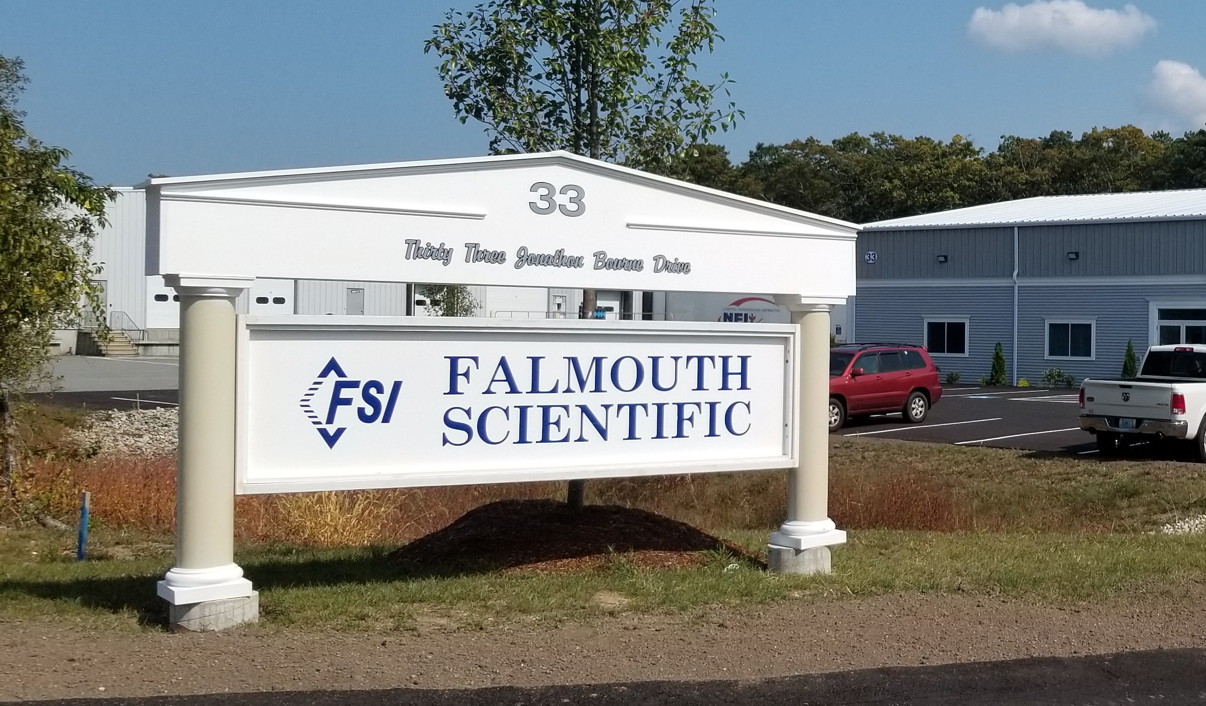
Falmouth Scientific, Inc. Earns ISO 9001:2015 Quality Certification
 Falmouth Scientific, Inc. (FSI), a leading manufacturer of reliable oceanographic instruments and systems, has earned ISO 9001:2015 certification for its Quality Management System (QMS).
ISO 9001:2015 is the most widely used quality management standard in the world. It is published by the International Organization for Standardization (ISO) and shows that a company has strong processes in place to meet customer needs and continually improve quality over time. FSI received this certification after an accredited third-party completed a full review of its operations, processes, and records.
The certification covers FSI’s design, development, manufacturing, and service of advanced oceanographic sensors, instruments, and systems.
ISO 9001:2015 is built on key principles such as focusing on customers, involving company leadership, using a process-based approach, and driving continuous improvement. This achievement confirms that FSI can provide high-quality solutions while meeting all required laws and regulations.
“This ISO 9001:2015 certification is a major achievement for Falmouth Scientific and clear proof of our commitment to quality,” said Fred Hegg, Vice President of Business Development. Our team welcomed the improvements made through every step of the process. The ISO certification reaffirms our (FSI’s) dedication to delivering superior systems and solutions.

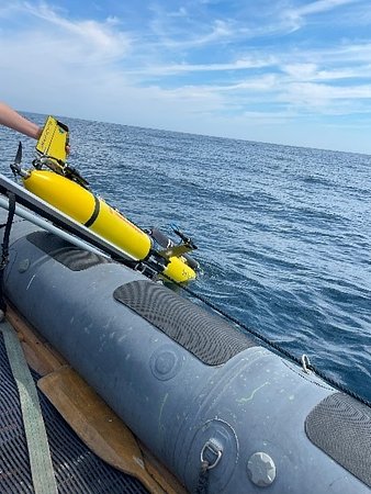
Teledyne Marine Awarded Long-Term UK MOD Contract to Support REPMUS Exercises
 Teledyne Marine is proud to announce the award of a strategic long-term contract with the United Kingdom Ministry of Defence (MOD) to provide support for the annual REPMUS (Robotic Experimentation and Prototyping using Maritime Unmanned Systems) exercises starting this year.
REPMUS 2025 will take place from September 8 to 25, 2025, in Tróia and Sesimbra, Portugal. Organized by the Portuguese Navy in collaboration with NATO, the event brings together over 2,000 participants from allied navies, industry, academia, and international organizations.
This multi-year agreement underscores Teledyne’s continued commitment to advancing both MOD and NATO maritime capabilities and fostering interoperability among allied forces. Through this partnership, Teledyne Marine will deliver cutting-edge autonomous marine vehicle technologies and operational support to enhance the effectiveness and integration of unmanned systems in for defense mission in complex maritime environments.
“We are honored to collaborate with the UK MOD in support of REPMUS,” said Thomas Altshuler, Ph.D., Senior Vice President, Global Maritime Defense Strategy and Business Development. “This contract reflects our shared dedication to innovation, security, and strengthening NATO’s maritime readiness.”
Contract Highlights:
- Long-term support for REPMUS exercises (2025–2028)
- Deployment and integration of autonomous marine vehicles
- Enhanced UK-NATO interoperability and joint operational capabilities
Teledyne Marine’s participation in REPMUS continues to demonstrate its leadership in unmanned maritime systems and its role in shaping the future of naval operations.
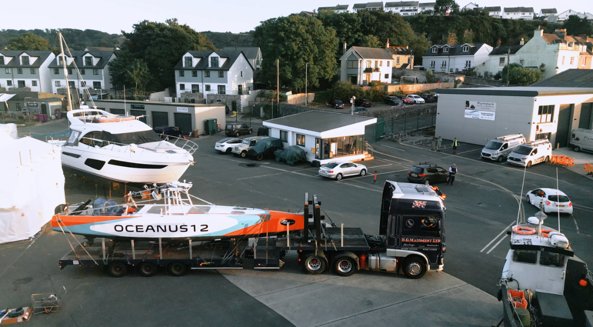
UK Marine Autonomy Company ZeroUSV deploys vessel to Nato's largest UxS testing exercise in Portugal
UK maritime innovator, ZeroUSV has deployed one of its uncrewed surface vessels (USV) to Troia, Portugal, joining NATO’s largest exercise for autonomous naval systems alongside more than 20 allied nations and global defence primes.
The Plymouth-based firm has been competitively selected by the Royal Navy to send one of its 12metre “Oceanus12 class” USV’s to REPMUS_Dynamic Messenger (DYMS) 2025, a three-week exercise programme hosted by the Portuguese Navy off the Tróia Peninsula and Setúbal Bay. Exercise REPMUS (Robotic Experimentation and Prototyping using Maritime Uncrewed Systems) is a Portuguese led proving ground for maritime autonomy integrated with NATO’s Exercise Dynamic Messenger (DYMS), where navies, defence contractors and technology providers test how uncrewed and crewed fleets can operate together in live missions.
ZeroUSV’s pioneering Oceanus12 platform, designed, developed and engineered at the company’s base in Plymouth, is a groundbreaking dual use (defence & civil) USV incorporating a bespoke high voltage electric-hybrid drive train, and full system redundancy not seen on this size and type of vessel before.
The Oceanus12 has been designed for extended duration over the horizon autonomous operations. The level 4, fully autonomous AI-enabled vessels, each with a range of up to 2500 nautical miles, are mission agnostic but typically are used to integrate payloads such as hydrographic survey equipment through to advanced surveillance and communications systems and are designed to operate for extended periods without crew while relaying data back to ship or shore in real time.
In preparation for REPMUS_DYMS, Oceanus12 has received a significant hardware and sensor upgrade package. The most obvious addition is a custom automated winch, which has been loaded with a thin line towable acoustic array from Optics11 in Holland. ZeroUSV has also rapidly designed and built a prototype sonobuoy launch system – “SOIL” (SOnor Intgrated Launch system) as a very first step in being able to demonstrate capability for launching the Royal Navy’s acoustic sonobuoys, another world first for an autonomous USV. The Ocenaus12 will be tasked with deploying the sonobuoys at the start of the daily exercises in conjunction with those from a crewed support vessel.
Teledyne’s T50 extended range deep water multibeam has been fitted to the gondola/keel and will be used to collect military bathymetric data as part of its extensive CONOPS, while the latest Navtech HD radar has been integrated into the MarineAI, Guardian software stack, increasing the situational awareness for the smallest of objects at up to one km of range.
2025 has been a breakout year for ZeroUSV, with the launch of Oceanus12 vessels one and two in the spring, the sale and purchase of vessel two to Leeway Marine in Halifax, Canada in July and with vessels three and four in advance stages of construction and scheduled for commissioning with potential customers lining up to have access to the latest USV tech.
There has also been significant interest from both UK and overseas navies and commercial operators in the offshore energy sector, but REPMUS_DYMS will be the first time its technology is demonstrated directly to NATO decision-makers, and alongside vessels developed by the largest defence contractors in the world.
Matthew Ratsey, founder and managing director at ZeroUSV, said: “Deploying to REPMUS is a fantastic opportunity for us, REPMUS_DYMS provides the backdrop and opportunity for us to be able to ‘spread our wings’ and really show the world how far USV technology has developed over the past few years.
“It’s really where technology stops being talked about as theory and starts being proven at scale. Our vessel is designed to be deployed on long duration over the horizon missions without the need to put sailors’ lives at risk, we now have the chance to show that in live NATO operations.”
In looking forward to zeroUSV’s contribution, the lead planner for the underwater component of REPMUS_DYMS, Mr Ian Danbury OBE, said: “Exercises like REPMUS_DYMS bring navies, researchers and industry together to test uncrewed technology in demanding missions. The involvement of companies such as ZeroUSV ensures NATO can see how emerging systems integrate with conventional fleets and where they can add real value, this is very much the future”
Zero’s vessels will remain in Portugal throughout September for integration, live exercises and the closing showcase. The 12metre vessels on board software system has been developed by autonomy software pioneers, Marine AI.
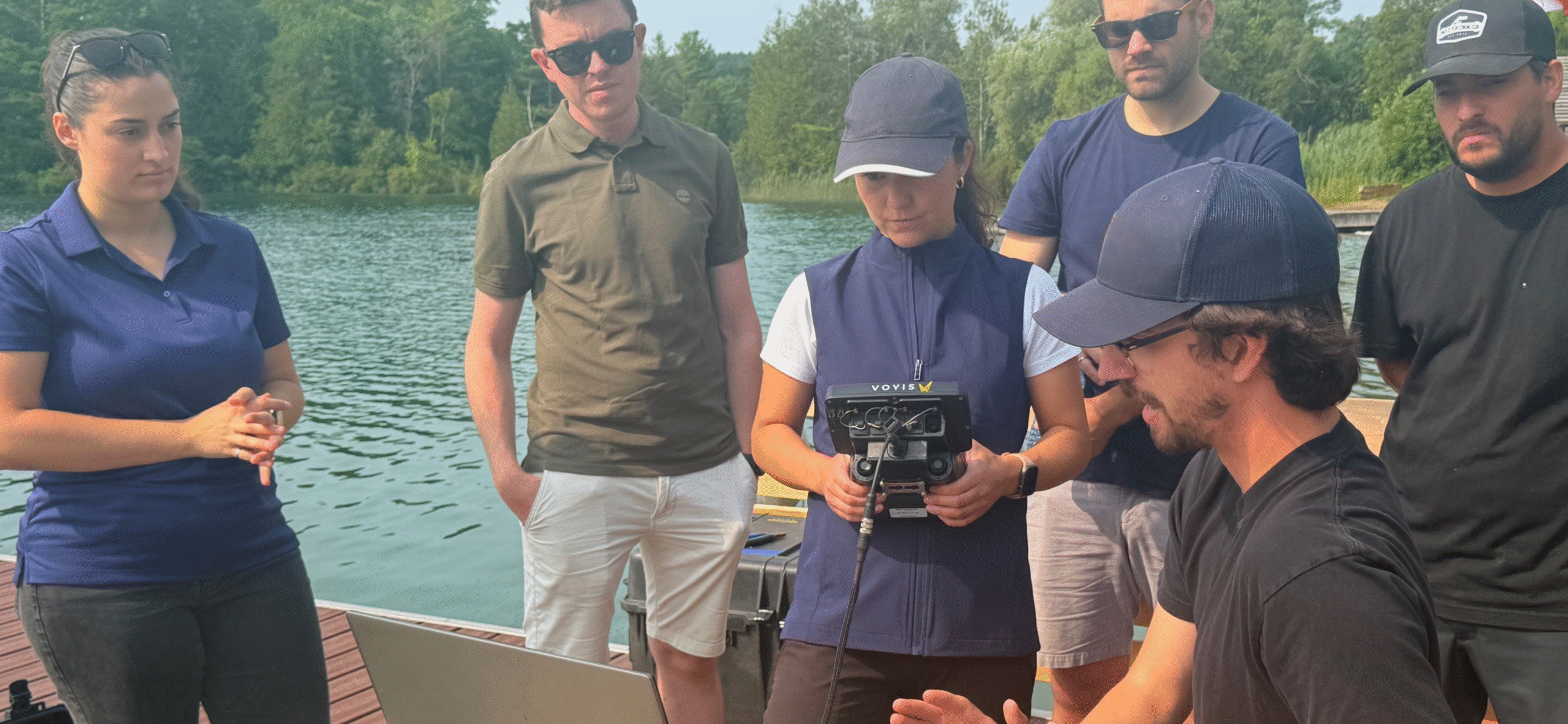
Voyis Support Launch: Professional Services for Underwater Visual Surveys & Photogrammetry
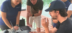
 Voyis is proud to announce the launch of Voyis Support, a new professional service designed to help clients achieve successful underwater visual surveys and photogrammetry projects. Building on over a decade of expertise in subsea imaging and 3D reconstruction, Voyis Support provides the technical guidance, operational experience, and advanced methodologies needed to deliver accurate results from survey planning consultation through to final 3D models.
Whether you are an asset owner looking to outsource a complete underwater inspection, or a survey company deploying Voyis technology independently, Voyis Support ensures reliable results, efficient mobilization, and high-quality data, every time.
Expertise That Translates Into Results
With more than ten years of experience in underwater vision and photogrammetry, the Voyis team brings unrivaled knowledge to every project. This expertise goes beyond technical proficiency, it directly translates into smoother operations, reduced downtime, and minimized rework. By combining cutting-edge technology with real-world operational insight, Voyis ensures surveys are executed efficiently, helping clients save valuable time and resources while maintaining complete confidence in data quality.
Comprehensive Services for Every Stage of the Survey
Voyis Support is designed to be scalable and flexible, ensuring clients can access the level of support that best suits their needs. Services range from targeted consultations to onsite technician support and generation of data deliverables.
- Project Consultation: Expert guidance on survey design, mobilization planning, and best practices to align projects with specific goals.
- Onsite or Remote Acquisition Support: Professional assistance to ensure smooth operations, data integrity, and troubleshooting in real time.
- Data Processing & Photogrammetry: Transformation of image datasets into clean, accurate, and ready-to-use 3D models for engineering, analysis, or visualization.
Through each of these services, Voyis emphasizes data quality assurance, reducing costly rework and ensuring survey efficiency.
 Delivering High-Quality 3D Results
From the earliest planning stages to the final deliverables, Voyis Support is focused on turning stills data into precise and actionable outputs. Clients can expect:
- Clear, tailored survey plans aligned with project goals
- Confident execution supported by expert technicians
- Verified data integrity through rigorous quality control
- Accurate 3D photogrammetry models ready for immediate application
Why Choose Voyis Support?
By partnering with Voyis, customers can fill capability gaps without long-term resourcing, reduce operational risks and costs, and benefit from advanced photogrammetry workflows. The program is designed to scale with the needs of each project, whether for a single consultation, short-term field support, or development of data deliverables.
With Voyis Support, clients gain confidence that every survey will deliver reliable, high-quality results, unlocking the full potential of their underwater visual data.
Learn more about Voyis Support and how it can enhance your next underwater survey project: https://voyis.com/services-voyis-support/
Nauticus Robotics Signs Master Services Agreement with Advanced Ocean Systems
 Strategic alliance seeks to accelerate the integration of autonomy across the offshore sector
HOUSTON and STUART, Fla., July 29, 2025 – Nauticus Robotics, Inc. (NASDAQ: KITT), a leading innovator in autonomous subsea robotics and software solutions, announced that it has entered into a Master Services Agreement (MSA) with Advanced Ocean Systems, Inc. (AOS), a Florida-based business offering autonomous and remote systems development and integration capabilities.
The agreement is structured around an ongoing, multi-year commitment that is expected to see the two organizations collaborate on a range of projects designed to accelerate the integration of subsea robotics and autonomous systems, delivering new efficiencies to offshore industry operations.
Under the agreement, Nauticus and AOS are planning to blend their engineering expertise and technical capabilities to address maritime autonomy opportunities. Each company has extensive experience of working with field-proven autonomy and remote systems—hardware and software—for deployment on and below the surface, including in ultra-deepwater subsea environments.
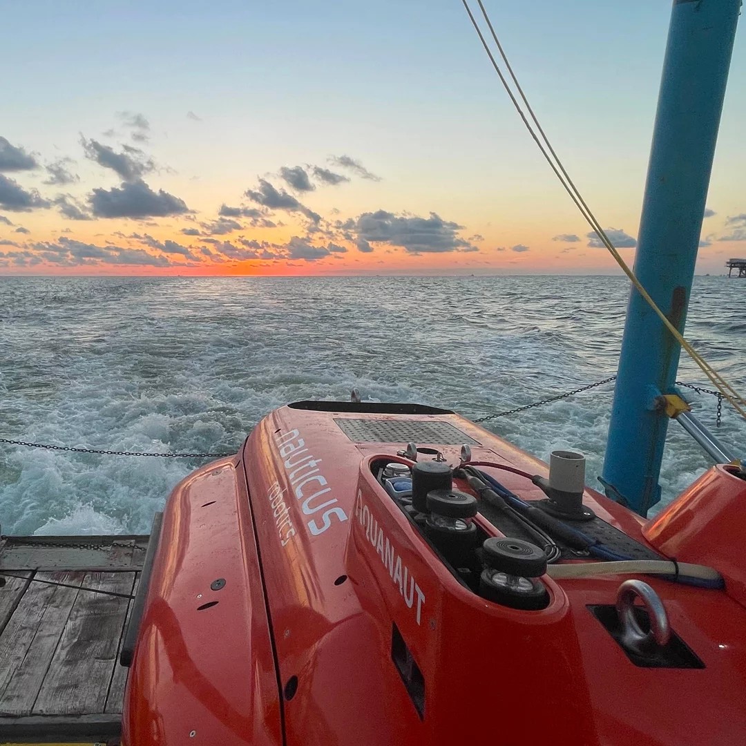
Immediate discussions include plans to use AOS's state-of-the-art test lake facility in Stuart, FL, where they intend to begin a series of trials with Nauticus' flagship autonomous underwater vehicle (AUV), Aquanaut®. In addition to advancing Aquanaut's overall operating parameters, plans are underway to explore the best way to integrate the AUV into a broader collaborative ecosystem of unmanned assets, including uncrewed surface vessels (USVs) of various form and function, to achieve greater efficiency and effectiveness in the execution of subsea tasks.
John Gibson, President and CEO of Nauticus Robotics, stated, "We are excited to announce this new alliance and look forward to working with AOS and its affiliates to advance the ongoing trial, adoption, and integration of scalable autonomous and remote solutions into new and improved ways of working in offshore waters. Our missions are perfectly aligned and seek to leverage the latest ocean technologies to challenge industry convention and bring about meaningful change to subsea asset management practices, from surface to seabed."
John Jacobson, CEO of Advanced Ocean Systems, added, "We are delighted to team up with Nauticus Robotics to bring new ideas and opportunities to market. Nauticus and AOS unite a wealth of successful industry experience around one table at a critical moment for the offshore sector and the integration of practical autonomy into day-to-day operations. This combined expertise will enable us to translate a shared vision of technology-inspired remote operations into new cleaner, leaner, and ultimately safer ways of working in unpredictable offshore environments."
Next Geosolutions awarded two contracts by Prysmian worth approximately EUR 20 million
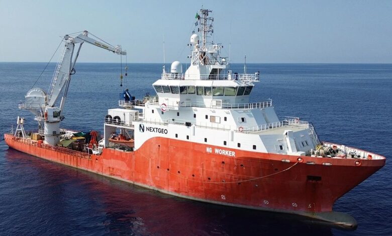
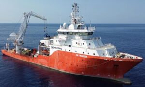 Next Geosolutions (“NextGeo” or the “Company”), one of the leading international players in marine geoscience and offshore construction support services for the energy sector – with a strong focus on renewable energy – and listed on Euronext Growth Milan, announces the award of two new contracts with a total value of approximately EUR 20 million by Prysmian (the “Client”), a global leader in energy and telecom cable systems.
The first contract refers to the Bay of Biscay interconnection project, an HVDC cable system that will link coastal areas of Spain and France. Under this contract, NextGeo will carry out route preparation activities, between 2025 and 2027, delivering a range of seabed services to enable the subsequent cable installation phase, to be executed by Prysmian.
From the operations-side, the contract includes a series of interventions on the seabed, such as Boulder Removal, Pre-Lay Grapnel Run (PLGR), installation of protective mattresses, and a Pre-Lay Survey. These activities will ensure optimal seabed conditions to allow a safe and efficient installation of the HVDC cable system by Prysmian.
The second contract involves the execution of marine survey services in both offshore and nearshore areas of Dutch waters, along the export cable routes designated for the future offshore wind farms IJmuiden Ver Alpha and Nederwiek 1.
In this case, the operations, scheduled between 2026 and 2027, will focus on geophysical and UXO (Unexploded Ordnance) surveys, enabling the acquisition of high-quality data and information essential to support the final design phase of the cable installation. These activities are fundamental to ensuring that the subsequent installation operations can be performed safely and with minimal risks of interference or unexpected seabed conditions.
This project is part of the Netherlands' Offshore Wind Roadmap 2030, aimed at developing an efficient and sustainable subsea electrical network capable of transporting the renewable energy generated offshore to shore, and integrating it into the national power grid.
Giovanni Ranieri, CEO of NextGeo Group, commented: “The award of two major contracts by a top-tier partner such as Prysmian confirms both the strength of our positioning in the marine geoscience market and NextGeo’s strategic role in supporting the ongoing energy transition. Our involvement in flagship initiatives such as the Bay of Biscay HVDC interconnector and the development of future offshore wind farms in the Netherlands allows us to leverage our technical and operational expertise in highly complex environments, contributing concretely to the deployment of safe, resilient, and sustainable energy infrastructure. Furthermore, these contracts significantly strengthen our backlog and reaffirm the confidence of leading international operators in our ability to deliver high-value, integrated site investigation solutions.”
Voyis Unveils VSLAM 1.3 with Augmented 3D Visualization for Enhanced Subsea Inspection
 New voxel-based point cloud technology delivers real-time scene coverage and improved pilot awareness
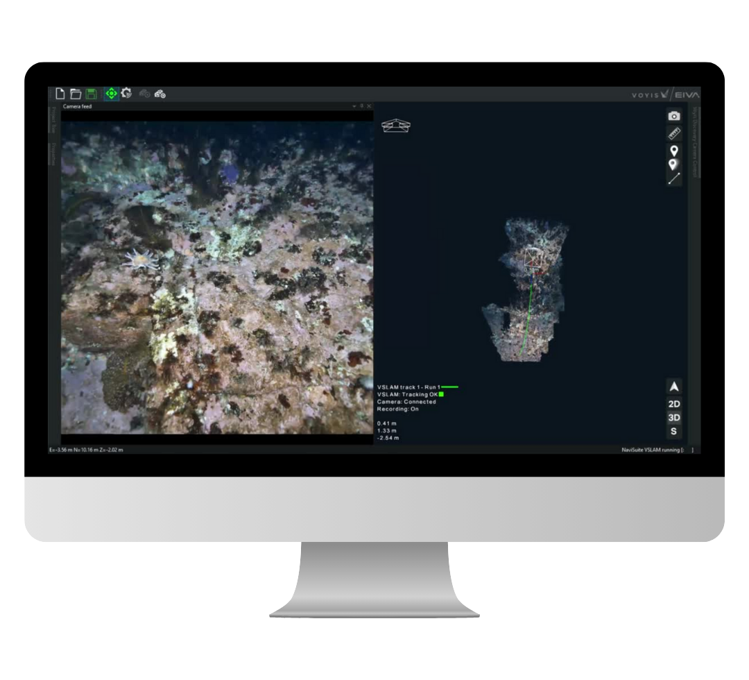
Voyis, a leader in underwater optical systems, in collaboration with EIVA, is proud to announce the release of Voyis VSLAM Powered by EIVA NaviSuite version 1.3. This major update marks a leap forward in real-time subsea mapping, delivering a groundbreaking 3D visualization experience using voxel-based rendering and stereo vision technologies.
Version 1.3 introduces a next-generation voxel-based 3D mapping engine, enabling real-time textured visualizations of inspection environments. By projecting the ROV camera’s field of view onto the real-time 3D map, operators gain a uniquely intuitive window into subsea scenes—offering unmatched spatial context and navigational confidence during visual inspections.
“This release transforms the way ROV pilots interact with real-time data,” said Chris Gilson, CEO of Voyis. “By embedding live video perspectives into a continuously updating voxel map, we’re providing pilots with the ability to navigate more intelligently, cover more ground, and reduce data gaps in their inspection workflows.”
Augmented Real-Time Visualisation for Confident Piloting
The new default visualization overlays the system’s real-time depth map onto a structured voxel-based 3D map. The result is a real-time projection of the camera’s field of view, allowing ROV pilots to instantly see where the camera is looking within the environment and align their trajectory to uninspected areas.
This augmented piloting interface supports more efficient movement, better scene coverage, and easier gap-filling, which is particularly critical in large or complex subsea structures such as pipelines, hulls, and infrastructure.
Voxel-Based Mapping: Precision, Speed, and Clarity
Version 1.3 features a real-time point cloud engine using voxel modeling with a minimum resolution of 2.5 cm. Voxels, volumetric pixels, structure the map into a uniform 3D grid that stores both spatial and visual data. This representation significantly reduces noise by aggregating multiple stereo measurements within each voxel, eliminating isolated outliers common in raw point clouds.
Beyond cleaner visuals, the voxel format allows for faster map updates and more reliable loop closures during relocalization, ensuring a smoother, clutter-free experience even as the system corrects for positional drift.
Empowering ROV Operators with Actionable Data
With this release, ROV pilots can quickly identify data gaps in real time, allowing them to proactively adjust their trajectory before resurfacing. This minimizes rework, improves inspection quality, and ensures comprehensive scene documentation on the first pass.
Whether inspecting wide-area infrastructure or confined spaces, the VSLAM 1.3 solution empowers users with immediate spatial awareness and a high-confidence understanding of their inspection progress.
Availability
Voyis VSLAM Powered by EIVA NaviSuite 1.3 will be available globally to existing users as of late July 2025. For more information, or to request a demo, please contact us or visit www.voyis.com.
The latest VSLAM capabilities will be demonstrated live at EIVA Demo Days on September 24–25, 2025 in Aarhus, Denmark. Representatives from both Voyis and EIVA will be on-site to showcase the system’s real-time voxel-based mapping and visual navigation features in operation. This is an excellent opportunity to experience the technology firsthand and speak directly with the teams behind its development.
Fugro selected to deliver extensive offshore and onshore surveys for multiple major energy field developments in the Middle East
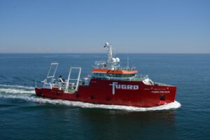
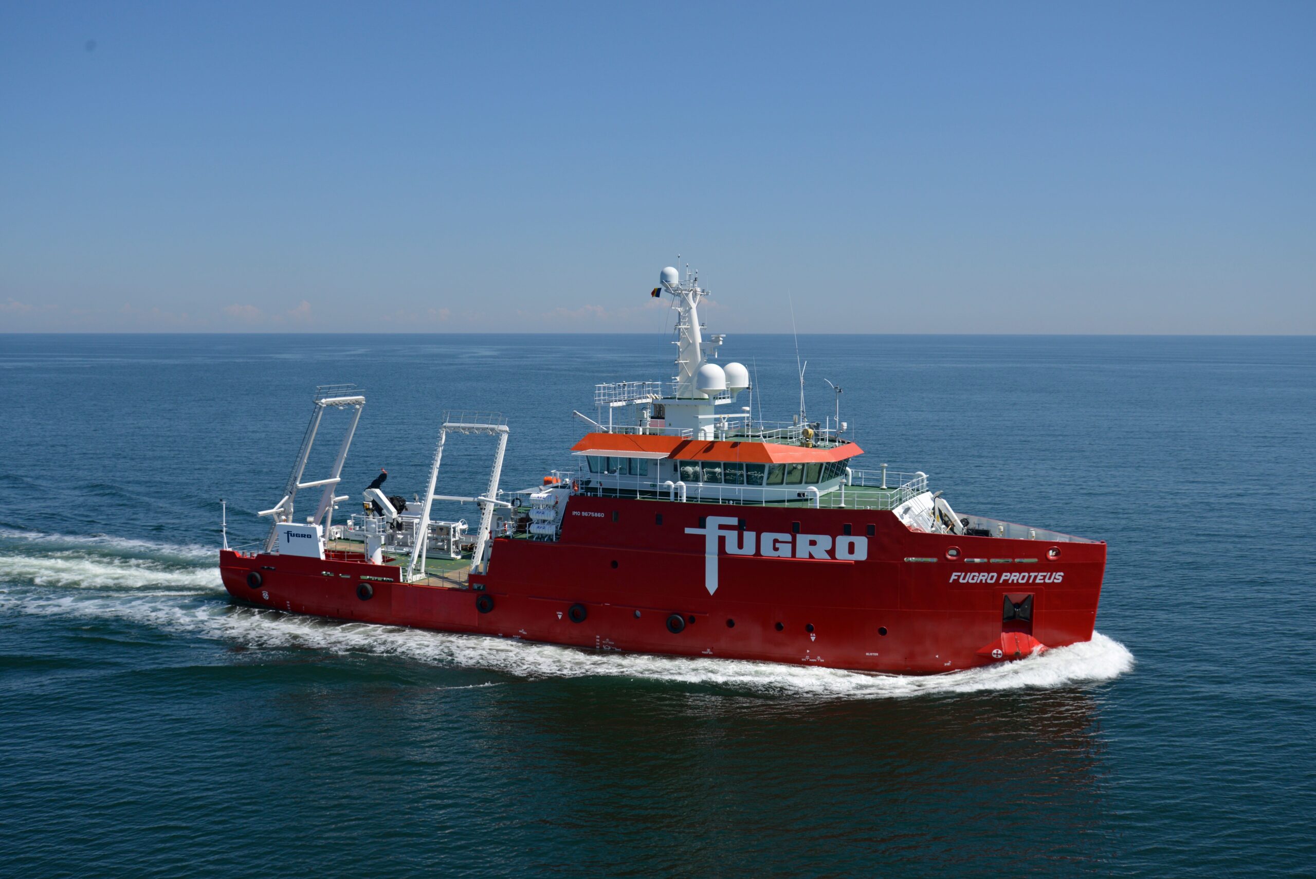
Fugro has recently been awarded multiple contracts to perform comprehensive offshore and onshore surveys in the United Arab Emirates, supporting two of the region’s largest long-term field development programmes. These projects mark a major milestone in Fugro’s continued contribution to the sustainable advancement of the Middle East’s energy sector.
Starting in August 2025, Fugro will deploy its advanced geophysical, geotechnical, uncrewed surface vessel (USV), and environmental expertise, as well as the innovative GroundIQ® technology. These will be complemented by cutting-edge engineering and geo-consulting services to support our strategic client’s Front End Engineering Design (FEED) process.
The scopes of work include surveys for pipelines, cables, artificial islands, and offshore structures. Fugro’s integrated approach will deliver near real-time insights into ground conditions via its remote data management solutions, enabling the client to make timely, well-informed design decisions and realise significant capital expenditure savings across the development programme.
Annabelle Vos, Group Director Middle East & India at Fugro, said: “We are proud to support these landmark field developments with our full suite of site characterisation and consulting services. Our local expertise, combined with Fugro’s global technology leadership, will help deliver safe, efficient, and sustainable outcomes for our client. These awards further strengthen our position as a trusted partner in the region’s energy sector.”
These projects were partially included in the 12-month backlogs as per April and June 2025 (Fugro’s latest published results).
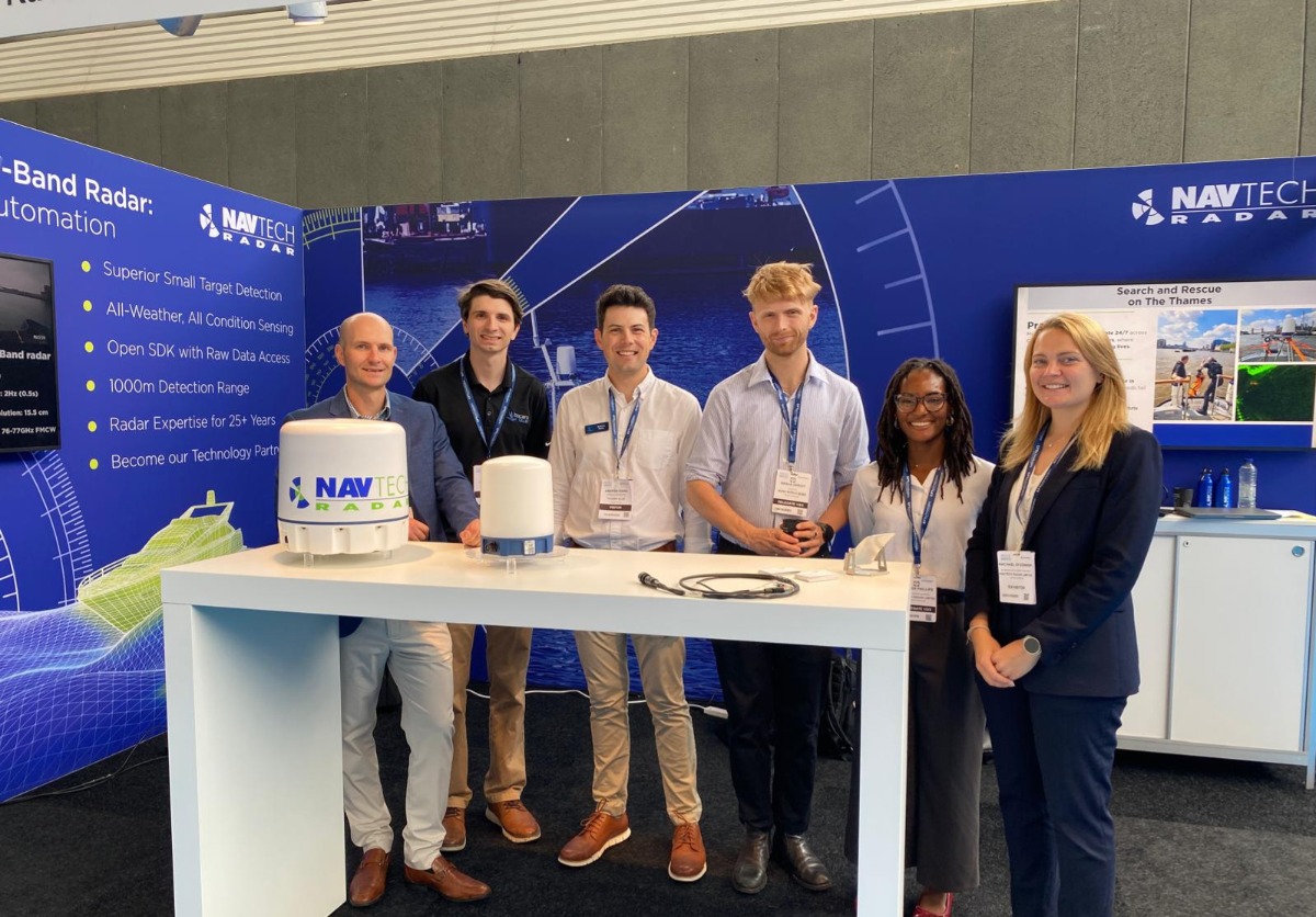
Navtech Radar and Tocaro Blue: strategic partnership sets industry benchmark for sensor perception
Navtech Radar, designer and manufacturer of high-precision W-band Radar systems, announced a strategic partnership with Tocaro Blue, a developer of Machine Learning (ML) powered Radar processing solutions. This collaboration combines Navtech's cutting-edge Radar hardware with Tocaro Blue's advanced machine learning Radar processing software to deliver a transformative marine navigation and collision avoidance sensor.
Traditional marine Radar is most effective at ranges exceeding 100m and is typically used to detect threats miles away from the vessel; it also struggles to reliably detect small objects on the water. Navtech’s unique W-band Radar offers unparalleled short-range sensing, highly relevant for use on maneuverable unmanned vessels.
The partnership combines Navtech's state-of-the-art W-band Radar technology, featuring an impressive 1000m range, centimeter-level resolution and a precise 1.8-degree beam width, with Tocaro Blue's ProteusCore™ object detection, classification, and tracking solution. With this combination of technologies, Perception Engineers can expect a sensor that offers near field awareness in all weather conditions, processed with machine learning for an automated, fusion-ready output.
“The opportunity to collaborate with Tocaro Blue is an exciting moment for the marine industry. The partnership enables the creation of a robust, all-weather maritime perception system that delivers unprecedented situational awareness, object detection, and classification performance - redefining capability standards in the maritime domain; A critical step in supporting the transition toward increased autonomy in the marine environment.” Sam Wood, Segment Lead from Navtech Radar
"Our collaboration with Navtech Radar creates an unrivaled solution for the maritime industry," Andrew Rains, Senior Sales Director from Tocaro Blue. "By combining their exceptional sensing capabilities with our novel ML-based processing technology, we're enabling vessels to comprehend their environment with remarkable clarity and track targets with high accuracy."
This partnership addresses the growing demand for autonomous and semi-autonomous marine vessels, where mission critical perception systems are essential for safe operation. The combination of Navtech's hardware and Tocaro Blue's processing software creates a comprehensive solution that supports advanced navigation applications across coastal & port monitoring, autonomous work boats, commercial shipping, and mission-critical maritime defense operations.
Navtech’s Radar system excels in providing high-resolution returns, offering mariners detailed environmental awareness previously unavailable in traditional S- and X-band Radar systems. Tocaro Blue's ProteusCore™ Radar Processing software is immediately compatible with Navtech’s Radars, bridging the gap between Navtech’s high-resolution returns and inputs for your perception system or autonomy stack.
For more information about this partnership and the integrated Radar solutions, contact Navtech Radar and Tocaro Blue through their respective corporate communications channels.
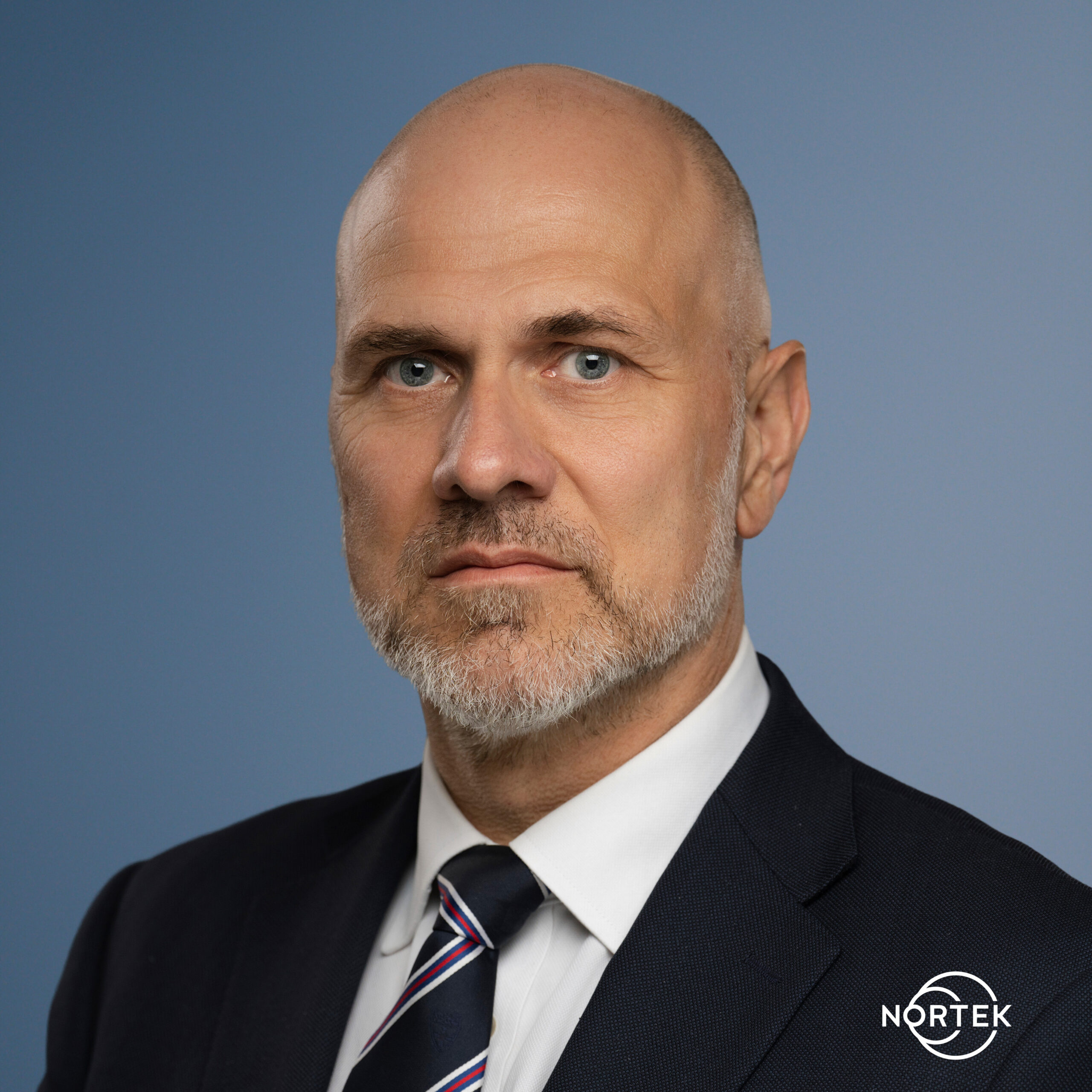
Bjørn Ladegård appointed Executive Vice President of Nortek
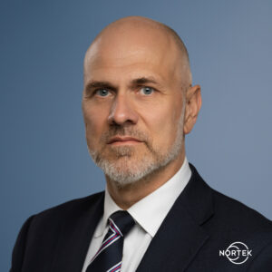 Bjørn Ladegård has been appointed Executive Vice President with responsibility for Nortek, part of the General Oceans Group. Ladegård comes from the position as VP Renewables Operations and Senior Project Manager at Nexans, where he has been responsible for US operations and European energy infrastructure projects. He assumed his new duties on Friday 1st August 2025.
“Nortek is established as a leading global player within subsea technology. I could not hope for a more exciting challenge than working with the Nortek team to increase growth by building on the company’s technological excellence”, said Bjørn Ladegård, newly appointed Executive Vice President with responsibility for Nortek, which merged to become part of General Oceans in 2021.
Ladegård replaces Jannicke Koch-Hagen who has been interim General Manager at Nortek in addition to her position as CFO since October 2024. She will now return to her CFO position.
“With Bjørn now taking over leadership of Nortek, I am confident that the company will continue to grow and remain at the forefront of acoustic Doppler technology and associated application areas. His international experience and leadership capabilities will benefit both Nortek and General Oceans. I would also like to thank Jannicke for taking charge and handling two demanding jobs in an excellent manner for almost a year”, said Atle Lohrmann, founder and President of General Oceans.
Ocean technology specialist Nortek reported revenues of NOK 412 million in 2024, compared to NOK 398 million in 2023. Nortek is part of General Oceans, an ocean technology group aiming to consolidate the industry through acquisitions. The group consists of Nortek AS, based in Norway. Strategic Robotic Systems (SRS) and Klein Marine Systems based in the US, Reach Robotics, based in Australia, as well as Tritech International and RS Aqua in the UK. General Oceans now employs over 320 people based in 18 offices across the world.