
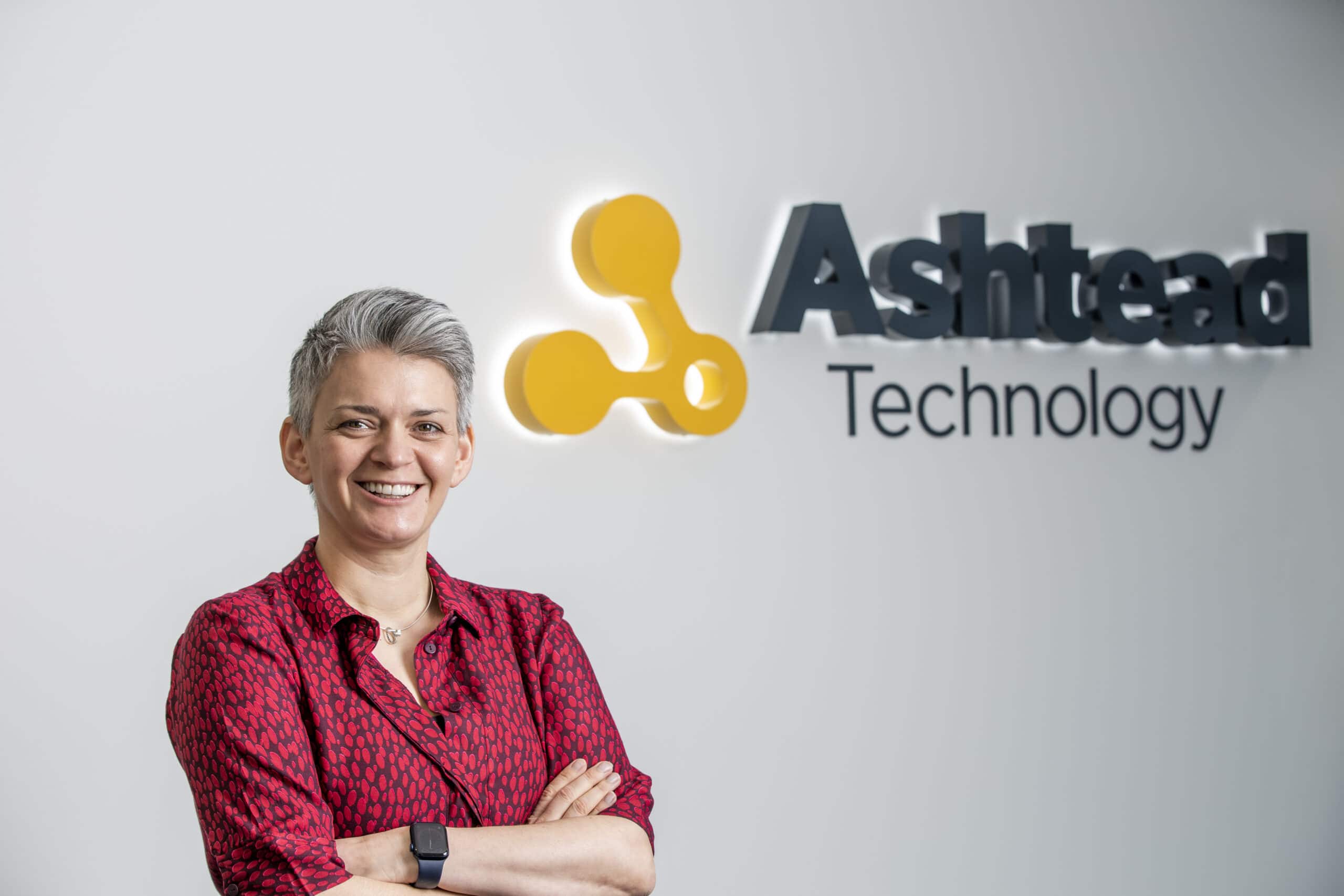
Ashtead Technology appoints experienced CFO and expands management team
Ashtead Technology has appointed a chief financial officer (CFO) and five managers for newly created roles across its international team.
The appointments underline the integrated subsea technology and services company’s strategic growth plans to cement its leading position in the global offshore energy market and build on its recent success in new and emerging markets, including in offshore wind and decommissioning.
Ingrid Stewart assumed the new CFO position this week, bringing 23 years of corporate finance experience to the Aberdeenshire headquartered business which employs 170 people around the world.
Ms Stewart spent eight years with EnerMech Group as corporate development director where she managed the completion and integration of multiple acquisitions for the firm, as well as developing and executing long-term strategies. Prior to this, she was a member of the senior UK management team at Simmons & Company International, becoming the investment bank’s first ever female corporate finance director in 2009.
A specialist in subsea construction, IMR and decommissioning services, Ashtead Technology has acquired five businesses since 2017 and, as a result, boasts one of the largest equipment fleets in the industry and a depth of associated services capability.
In her new role, Ms Stewart will work with the senior team to position the company for further growth and further leverage existing capability. She said: “After watching the business successfully grow through acquisition over the past few years and increase its foothold in the offshore renewables and decommissioning sectors, I am thrilled to be joining the talented team at Ashtead Technology. The company has significant growth potential and I’m looking forward to supporting its future aspirations.”
The new Aberdeenshire based managerial hires across Ashtead Technology include Lili Hughes, as group QHSE manager, Stephen Booth as decommissioning BD manager and asset integrity project manager Michael Gibson. In addition, Mark Vela has joined as US operations manager in Houston, and Dan Davies has taken up his new role as NDT market manager within the company’s inspection solutions team in Bedfordshire, England.
Ashtead Technology CEO Allan Pirie said: “Ingrid’s substantial corporate finance and energy industry experience will make a significant contribution to our growth ambition as we further integrate and invest in our global operations to support the increase in business in offshore wind, decommissioning, and oil and gas.
“Bolstering our management team in the UK and the US will ensure we are well equipped to support our clients as we navigate the current challenges and capitalise on the opportunities presented by the energy transition and the blue economy.”


United States Coast Guard - Contract Award
MetOcean Telematics (MetOcean), is pleased to announce that it has been awarded a five-year blanket purchase agreement (BPA) to supply the United States Coast Guard (USCG) with its world-renowned search and rescue buoy, the Iridium Self Locating Datum Marker Buoy, also known as the iSLDMB.
MetOcean Telematics has supported and supplied Coast Guards (CG) around the globe with a cost-effective and reliable search and rescue (SAR) buoy for over two decades. The United States Coast Guard a core-user of the iSLDMB, have experienced first-hand the numerous operational advantages of this SAR buoy. During an active SAR event, the MetOcean iSLDMB allows Coast Guards to quickly travel to the event location via aircraft and then deploy the buoys by air in the region of interest. This ability significantly reduces overall search time and as a result it assists in saving lives at sea. The iSLDMB also aids in reducing overall SAR operational costs and adds additional safety and protection for Coast Guard personnel. By deploying several buoys in a suspected event location, it reduces the number of Coast Guard SAR vessels, aircraft, and personnel required to travel to the event location. The iSLDMB simply does the work. Each buoy provides vital real-time data at the top 1 meter of the ocean surface. The first 1 meter of the ocean is a critical measurement parameter when accurately detecting a person or asset lost at sea.
The iSLDMB is a true “smart-buoy”. Each buoy is equipped with an Iridium satellite transceiver, GPS, lightflasher, air, and sea surface temperature sensor. The suite of sensors enables the buoy to provide critical real-time lifesaving data through the Iridium satellite network. The Iridium transceiver also allows SAR operators to communicate via satellite with the buoys during an active SAR event. Bi-directional over-theair commands can be sent by operators through MetOcean’s secure LiNC data management system. This is a critical ability, if the buoy enters a region of particular interest or if a SAR event is prolonged and there is a need to conserve battery life to prolong buoy operating life.
“We are pleased to be in a position to support the search and rescue efforts of the United States Coast Guard. This partnership has spanned several decades, and it is a true testament of the reliability and steadfastness of the MetOcean iSLDMB. We look forward to supporting the USCG and other Coast Guards with their SAR buoy operational requirements for many years to come”
Tony Chedrawy, CEO of MetOcean Telematics.
The MetOcean iSLDMB is not only utilized by Coast Guards; Navies, Oceanographic Institutes, Environmental Agencies and Oil and Gas companies around the globe have also incorporated the MetOcean iSLDMB into their safety and logistical operations. The MetOcean iSLDMB is truly the most reliable, cost effect, buoy when lives are on the line!
MetOcean Telematics corporate headquarters, including the research and development and production facilities, are in Dartmouth, Nova Scotia, Canada. The company develops and manufactures state-of-theart data acquisition and end-to-end telematics solutions, with a focus on niche MetOcean solutions and custom Defence and Security products. As a prominent global Iridium Satellite Value-Added Reseller focused on hardware solutions, data services, and support, MetOcean Telematics is a leader in the satellite communications industry.
For additional information about MetOcean Telematics or any of its products, please contact [email protected].
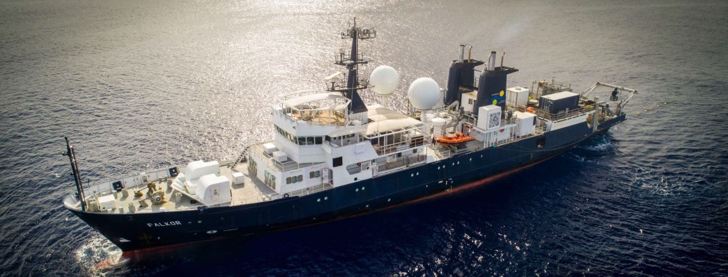
First new seafloor map of the Decade collected on New Year's Expedition in Australian waters
Schmidt Ocean Institute’s research vessel Falkor has collected the first public seafloor data of the New Year, as part of a global effort to map the entire ocean floor by 2030. Australian scientists aboard the ship literally “Pinged in the New Year” as they sent sonar waves down to the ocean floor at midnight on Dec. 31 and throughout New Year’s Day, flying the first official flag of The Nippon Foundation-GEBCO Seabed 2030 Project. This also marks the start of the United Nations Decade of Ocean Science for Sustainable Development.
The expedition is a collaboration between Schmidt Ocean Institute, Seabed 2030, and Australian research institutions, and seeks to map significant seafloor features in the Tasman and Coral seas, offshore Eastern Australia. Seabed 2030 aims to facilitate the complete mapping of the global ocean floor by 2030, and will make this data freely available.
"We are still learning a lot about the complexity of the seafloor and are always discovering new features," said Co-Chief Scientist Dr. Helen Bostock, from the University of Queensland. "These features provide information about the evolution of the ocean, while features like volcanic seamounts commonly support vulnerable marine ecosystems and are nurseries for deep sea fish. It is important that we improve the map of the seafloor to help manage the oceans and their resources sustainably into the future."
Jamie McMichael-Phillips, Seabed 2030 Project Director said: “We now have just under a decade to reach our target of mapping the world’s entire ocean floor. Partnering with organisations such as Schmidt Ocean Institute will greatly help us in achieving this ambitious initiative, and this expedition is an excellent testament to how we intend to use this time we have left until 2030.”
The high-resolution seafloor mapping is a continuation of Schmidt Ocean Institute’s year-long 2020 campaign in Australia, which has resulted in new discoveries, including a 45-meter siphonophore, believed to be earth’s longest sea creature, and a new 500-meter tall detached coral reef. The current expedition to the Tasman and Coral seas will provide detailed maps that give scientists insight into the formation of the Australian continent.
Globally so far, 19 percent of the seafloor has been mapped according to the Seabed 2030 initiative. “Schmidt Ocean Institute is proud to partner with and fly the flag of Seabed 2030 to advance this critical work,” said Executive Director Dr. Jyotika Virmani, “Open sharing of information is one of our core values, and seafloor maps are fundamental to understanding our ocean. Better seafloor maps will improve tsunami prediction and will also give scientists insight into ocean circulation which controls the marine environment, including where nutrients and pollutants such as microplastics accumulate.”
“It’s an honor for us at Schmidt Ocean Institute to collect the first seafloor mapping data of 2021 as we greet this UN Decade of Ocean Science,” said Wendy Schmidt, Schmidt Ocean Institute co-founder. “WIth the tools we have today, we are able to ‘see’ the deepest, darkest ocean floor. As we explore more areas, there’s no telling what discoveries await, but we fully expect to identify new areas of high biodiversity that need protection, and to help develop comprehensive ocean floor maps that can guide the world in sustainably developing the Blue economy.”
The expedition will continue mapping the Tasman and Coral seas through to Jan. 26. The maps created will aid in the understanding and management of the Coral Sea Marine Park, which sits outside the Great Barrier Reef UNESCO World Heritage Site, and is one of world’s largest marine parks, spanning nearly 1 million square kilometers of the ocean. The new mapping data will be made publicly available through The Nippon Foundation-GEBCO Seabed 2030 and the AusSeabed Marine Data Portal.
To learn more, watch a video about the expedition to be released on New Years here and check out our end of the year highlight video. Photos are also available here.
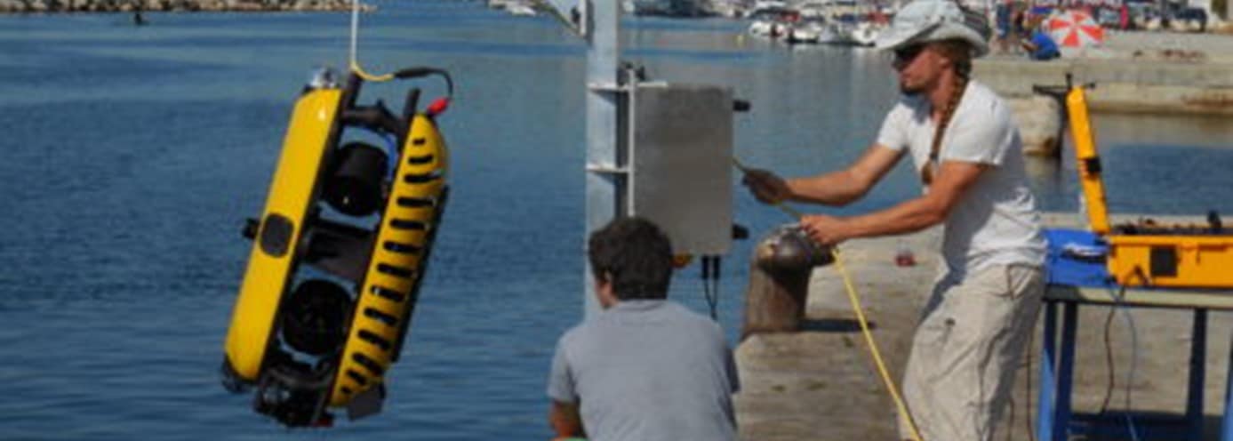
ARAMCO chooses Subsea Tech’s ROV Tortuga
The Saudi national oil company ARAMCO chose the Tortuga ROV for underwater inspections and NDT operations on its offshore infrastructures.
Subsea Tech delivered a unique multi-sensor Tortuga unit fitted with Blueprint Subsea Oculus M750d imaging sonar and SeaTrac USBL positioning system, Cygnus Instruments Ltd FMD and thickness probes, Buckleys (UVRAL) Ltd CP probe, altimeter, 2-function grabber, cleaning brush, laser defect sizing tool and launch/recovery davit.
The high payload capacity of the Tortuga allowed simultaneous integration of most sensors and tooling, which is a real performance on such compact and lightweight ROV.
The dual screen console offers optimzed comfort to the operator by displaying simultaneously the ROV videos and the sensor data (sonar image, positioning information, etc.).
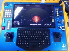
The light davit supplied to ARAMCO can be adapted on vessel freeboards, piers, platforms, etc. to ease launch/recovery operations.
For more information visit: www.subsea-tech.com
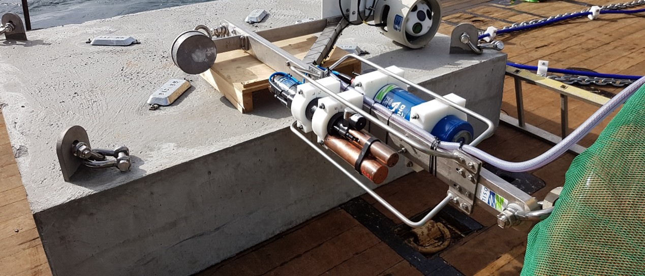
OSIL Demonstrate Integration Capabilities with Multi-Instrument Frames
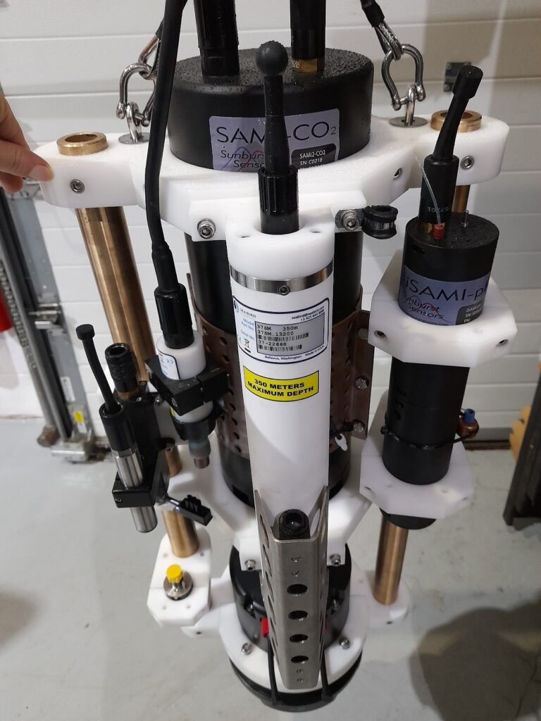
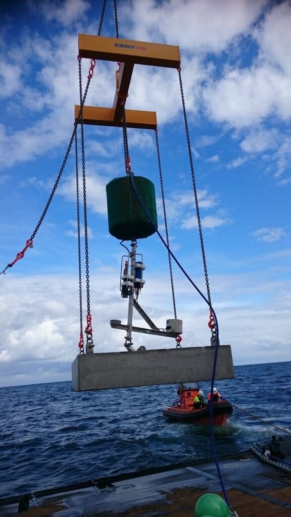
Marine monitoring equipment manufacturer Ocean Scientific International Ltd demonstrate their precision engineering and instrument integration capabilities with their customised instrument frames. These frames can accommodate a large variety of instruments, from any number of different manufacturers.
OSIL’s special area of expertise lies in the integration all of these different sensors into a single simplified data reporting system that allows the end user to remotely access all readings (in real-time or near real-time) from a single software window/webpage, and in physically accommodating these sensors within the customers chosen platform, usually an oceanographic data buoy. OSIL’s in-house engineering facilities have ensured an established reputation for delivering fully integrated systems that are cost effective and reliable on time and within budget.
Unique instrument payload packages are designed and integrated quickly and efficiently using in-house programming for commercially available dataloggers. Data transmission options include long range WiFi, GSM/GPRS, VHF/UHF radio or Iridium satellite, and multiple systems are often networked together to relay information from a wider geographical area.
With over 30 years of experience OSIL are ideally positioned to offer a complete turnkey service, including options for deployment assistance and training. As global experts in the provision of tailored integrated systems for over 30 years OSIL produce scientific data collection systems for environmental monitoring in all marine situations, from shallow coastal waters to full ocean depth, but specialise in instrumented MetOcean data buoys, unique single or multi- parameter monitoring platforms, water column sampling equipment and seabed sampling equipment (complete with Launch and Recovery Systems (LARS)).
For further information or sales enquiries please contact: [email protected] or call +44 (0) 2392 488 240.
Planet Ocean Ltd announces the signing of an exclusive distribution agreement with OBSCAPE B.v for the UK and Ireland
We are delighted to announce the signing of an exclusive representation agreement with Dutch manufacturer of Oceanographic, Hydrographic and Meteorological instruments OBSCAPE B.v.
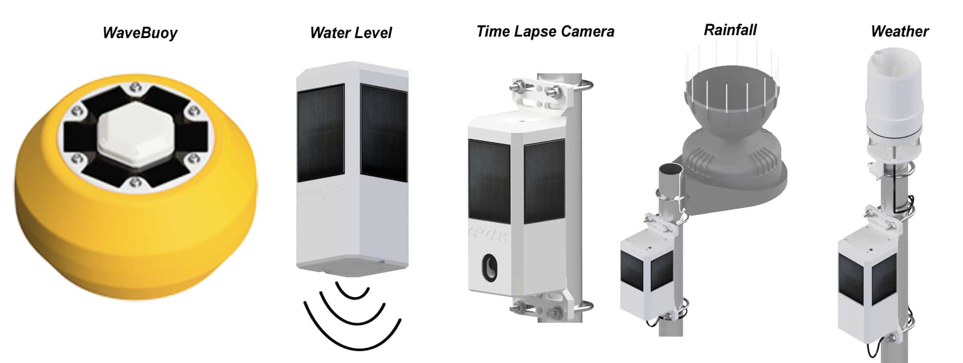
OBSCAPE instruments are based around their very flexible and innovate PTM (Power Telemetry Module) The PTM is at the heart of all OBSCAPE systems. In essence it is a data acquisition and telemetry system that is modular in construct and can be configured with or without some of the features depending upon end user application.
Key features of the PTM are multiple inputs, R-232, SDI-12, RS-485, inbuilt GPS, temperature and humidity for housekeeping, solar regulation/charge control, and a choice of telemetry.
The WaveBuoy for example has both 2G,3G,4G and Iridium satellite. The cellular modem has space for two SIM cards, so you have two networks enabled and the system will switch to the strongest, or to the other if one becomes unavailable. In addition, the system can be set to use both cell and satellite or use satellite as back up.
The PTM is pre-configured for use with the time lapse camera, water level sensor, rain gauge and weather station and of course WaveBuoy. All report directly to the free to use web data portal where your sensors can be networked into a coherent group.
Planet Ocean M.D Terry Sloane commented “We are extremely impressed with the innovative design of the OBSCAPE instruments, as well as their rugged construction, ease of use and end to end capability; sensor – telemetry- data display and archiving.”
Planet Ocean will be providing pre and post-sales support and first level service from their Camberley Surrey base.
For more details about OBSCAPE products contact [email protected] or Visit: www.obscape.com

GeoAcoustics leaves Kongsberg
GeoAcoustics Ltd has returned to independent ownership following divestment from the Norwegian multinational Kongsberg Maritime AS. Kongsberg originally acquired the Company in 2008 and it has been a part of the Sensors & Robotics business area.
Based in Great Yarmouth in the United Kingdom, GeoAcoustics have been manufacturing marine survey equipment for more than 42 years, and it is a world-leading manufacturer of sonar survey systems for engineering, geophysics and Naval survey applications. Principle product lines are swath bathymetry systems for shallow waters, side scan sonars and sub-bottom profilers.
GeoAcoustics’ General Manager Dr Richard Dowdeswell commented “This is an exciting chapter in the history of GeoAcoustics and we are looking forward to expanding our global reach through the introduction of new channel partners as well as bringing new products to market”
Arne Rinnan, Executive Vice President Sensors & Robotics added “We are satisfied with achieving an amicable solution for GeoAcoustics and the team”
As part of the divestment process the parties have entered into a collaboration agreement covering product sales, assembly and manufacturing.
For more information visit: www.geoacoustics.com
New Underwater Robotics Award Announced at SUT's AGM
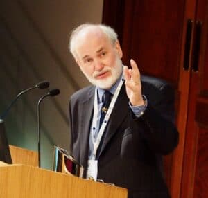
The new Gwyn Griffiths Underwater Robotics Award was one of the announcements made at The Society for Underwater Technology’s (SUT’s) Annual General Meeting by the new President of Council, Judith Patten MBE.
“SUT’s International Panel on Underwater Robotics is honoured to announce the creation of the Gwyn Griffiths Underwater Robotics Award (GGURA). The award recognises people in the early to mid-stages of their career (and under 40 years old) who have made outstanding contributions to their field in underwater robotics. The award may be for industry/commercial, research and/or creative activity in underwater robotics,” she explained.
The winner will receive £500, a certificate and an engraved award.
Neil Bose, Chair of the Panel on Underwater Robotics stated:
"Members of the Panel on Underwater Robotics were excited by Professor Gwyn Griffiths’ generosity in supporting this award and were especially enthusiastic that it should be an early to mid-career award to encourage the up-and-coming generation of underwater robotics workers in their careers."
Gwyn Griffiths MBE, a Past President of the SUT added:
"As a vibrant, forward-looking learned Society the SUT is at the forefront of encouraging and facilitating international cooperation in Underwater Robotics. From my own career I know that peer-recognition of achievements through an international Award can make a substantial and lasting difference. These have been times for reflection, and by enabling this new Underwater Robotics Award I am delighted to support the innovators of today and tomorrow."
Nominations or applications for a GGURA must consist of the following documents.
- A letter of nomination or application that describes how the candidate meets the criteria. Further information is at sut.org/gwyn-griffiths-underwater-robotics-award-ggura/
- The letter should be no more than 2-pages in length. Supporter(s) of the nomination/ application may add their signature to this letter or supply an email that indicates their support for the candidate
- A 100-word citation or appraisal of the candidate’s research describing their contributions in a way easily understandable to those outside the discipline
- A curriculum vitae
- All applications/nominations to be received by 14 February 2021
Other awards and announcements made at the AGM
Dr John Partridge of Sonardyne was awarded an Honorary Fellowship of the SUT in recognition of his engineering vision and his commitment to supporting the future of the underwater science and technology community. {Note to Editors: the full citation is attached to this release].
Simon Cheeseman, Sector Lead, Wave & Tidal Energy, at the Offshore Renewable Energy (ORE) Catapult was this year’s winner of the Lennard Senior Prize, awarded by SUT’s Marine Renewable Energies Committee (MREC) with its Chairman, Professor John Sharp making the presentation.
Six Members were elected Fellows of the SUT:
- Gareth Wood – Services to OSIG (Offshore Site Investigation & Geotechnics special interest group)
- Tim Carrington – Services to OSIG
- Andrew Benson – Services to OSIG
- Miguel Pacheco Andrade – Services to OSIG
- Andrew Hunt – Service to sustainable offshore energy & safety in diving
- Vahid Walker – Service to North East Branch & support of early career members.
The registration of the first three SUT Chartered Marine Technologists - Tom Bennetts CMarTech and John Houlder CMarTEch both of Sonardyne, and André Rose CMarTech of the International Marine Contractors Association (IMCA) - was also celebrated.
Finding the Empire Windrush and its iconic anchor
Attendees enjoyed an interesting insight into the life, work and future plans of shipwreck hunter, David Mearns introduced by Immediate Past President, Professor Ralph Rayner. Providing funding is secured David will (giving of his time on a pro bono basis) lead the search for the Empire Windrush, which lies up to 3,000m down at the bottom of the Mediterranean, some 23 nautical miles off the coast of Algeria. The aim is to recover the Empire Windrush’s iconic anchor and bring it back to the UK as an alternative monument to acknowledge the contribution of the Windrush Generation and migration in Britain
Portions of the meeting, including David Mearns’ presentation, will appear on the SUT’s website shortly at www.sut.org

UCL Announces This Year’s Winner of The NORBIT Prize
The NORBIT team is honored to support students who will be the future innovators of the Marine Technology industry.
This year, NORBIT UK chose to sponsor an academic prize for a high achieving student at UCL (www.ucl.ac.uk). The academic staff of the Geospatial Science and Hydrographic Surveying course agreed that the NORBIT prize should be awarded to the top student during teachings to have graduated in 2020.
We are excited to congratulate James Gibbons!
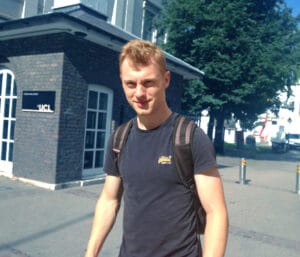
James has a background in Earth Science and an active interest in structural, physical and chemical properties of the subsurface. The Geospatial Science and Hydrographic Surveying course expanded his knowledge of these disciplines whilst also allowing him to “gain significant insight into the uncertainties associated with the digital expression of 3D positional data on and below the Earth's Surface and their significance in Marine Engineering”.
Beyond the technical knowledge James acquired during his time as an MSc student in the CEGE department, he also found the experience of attending UCL enjoyable. He praises the lecturers “several of whom are world leaders in their field”, writing that they “clearly enjoy teaching, getting to know their students and are genuinely enthusiastic for you to succeed”. In addition to the accomplished lecturers, James mentions the “involvement of the Port of London Authority with the Hydrographic elements of the course is also invaluable as it offers genuine insight into a professional hydrographic organisation and a chance to gain practical survey experience”.
As James moves on to his post-graduate life, he hopes to “be able to find a career path whereby I can incorporate and build upon my hydrographic, geophysical and geotechnical knowledge to contribute holistically to Marine infrastructure and renewable energy projects.”
We look forward to seeing what James will go on to achieve!
For further information about UCL please visit: www.ucl.ac.uk
For further information about the Geospatial Sciences (Hydrographic Survey) MSc course at UCL please visit: www.ucl.ac.uk/prospective-students/graduate/taught-degrees/geospatial-scienceshydrographic-surveying-msc
NASA’s Jet Propulsion Laboratories Examine Greenland’s Melting Coastal Glaciers Using Teledyne Marine APEX Profiling Floats
Teledyne Marine announced the recent sale and deployment of three APEX profiling floats to NASA’s Jet Propulsion Laboratory in Southern California. The three floats were equipped with RBR CTD sensors, Short-Burst-Data for communication over the Iridium Satellite Network, and special parachutes for air deployment.
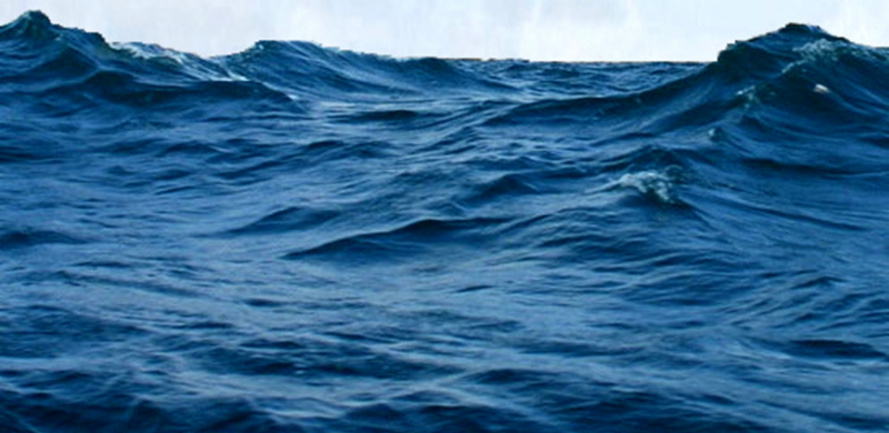
The rise in global sea levels will be a major environmental challenge for the 21st Century. For this reason, it is of increasing importance that we improve our methods and understanding for predicting this process. A recent major initiative to do this has been led by JPL Scientist, Dr. Josh Willis and his team, who are studying the role that the ocean plays in melting Greenland's coastal glaciers. The NASA based initiative, known as 'Oceans Melting Greenland' (OMG), will observe changing water conditions on the continental shelf surrounding Greenland over a six year period. This will also include detailed measurements from the narrow fjords that dot the Greenland coast since these fjords are a critical component in modelling the interaction between the ocean water and the glacial ice.
A potential new tool in this study has been provided by Teledyne Marine in the form of the 'Autonomous Profiling Explorer' (APEX) float. These floats provide a platform for a variety of sensors, drifting with the ocean current while descending and ascending between the surface and some predefined depth, and all the time taking sensor measurements which are then telemetered back to a data-server via satellite. APEX floats can also be deployed by aircraft using parachutes, which makes them ideal for exploring areas that can be difficult to access such as the coast of Greenland.
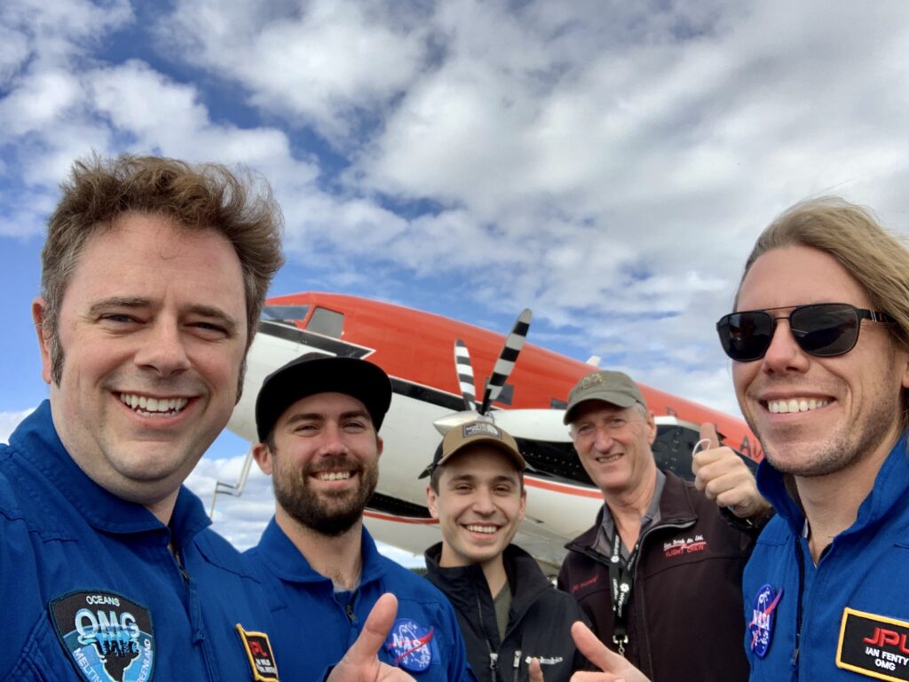
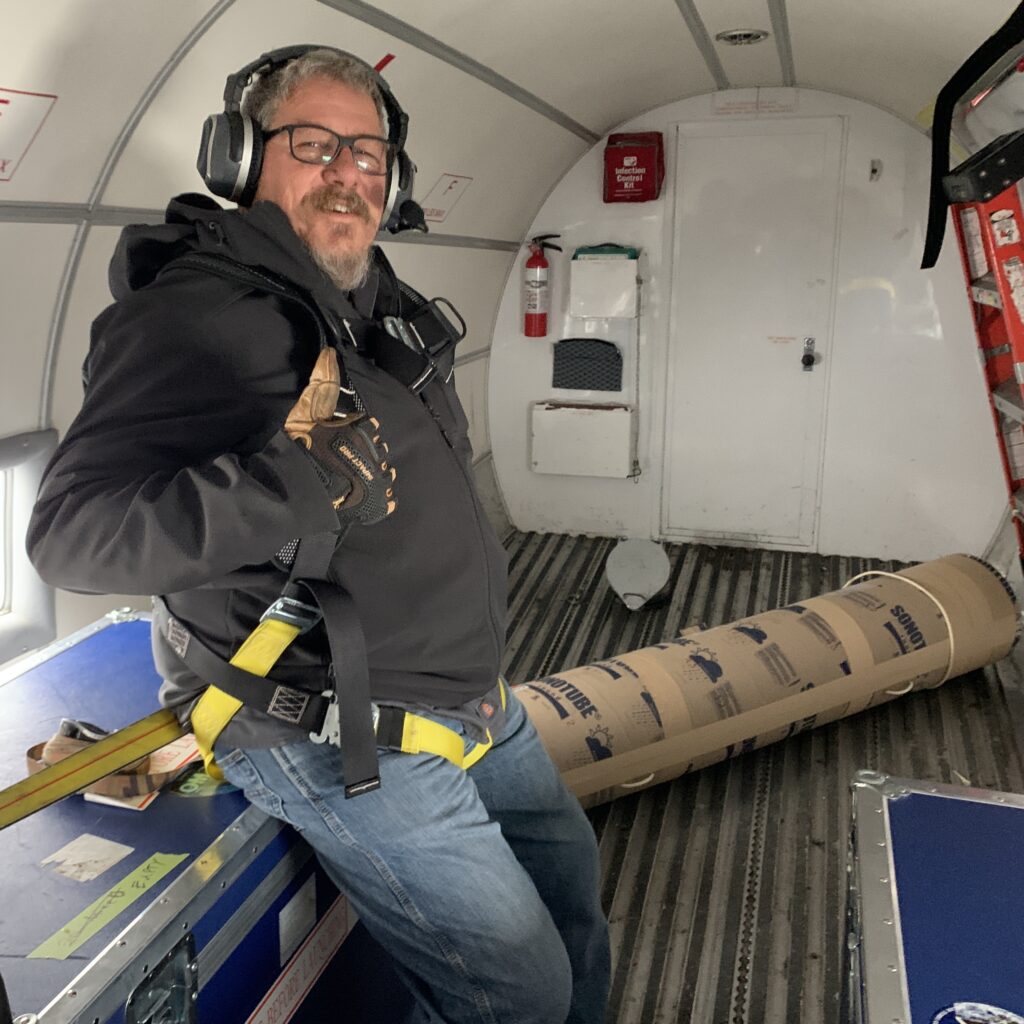
In September of 2020, three APEX floats were deployed using a Basler DC-3 TurboProp aircraft over the continental shelf along the west coast of Greenland as part of the OMG project. These floats had the specific task of measuring water temperature and salinity at different depths on the continental shelf along the coast over a period of a year or more. Dr. Willis and the team at JPL NASA exploited the fact that APEX floats can be configured to sit on the seabed between descending and ascending, which can be used to limit the distances that the floats drift during each cycle. The floats were also configured to avoid attempting to surface when they detected the possibility of ice.
All three floats have stayed within about 15 miles of where they were deployed, meaning that the strategy of parking them on the sea floor has largely worked so far. One float, deployed in Melville Bay was initially unable to surface and transmit data in the ice covered environment, but was finally able to connect to the Iridium satellite system and transmit all data that that had been collected and stored up to that point.
Now that the floats are operational they could potentially continue transmitting data over a winter season or more. For example, in order to extend their lifetime, the profiling cycle times between surfacings has already been increased using commands sent via satellite. Also, with winter approaching in the northern hemisphere, the APEX float ice avoidance feature will become even more important. However, the data collected by these floats should provide important future input for studying the role that the ocean plays in melting coastal glaciers and raising overall sea levels.
The APEX (Autonomous Profiling Explorer) profiling float is an autonomous drifting profiler that acquires water column profile data, such as water conductivity, temperature and pressure, while ascending from a depth of up to 2000 meters. The APEX profiling float also includes the hardware and firmware to support a high level of operator flexibility and multiple functions.
For more information visit www.teledynemarine.com