
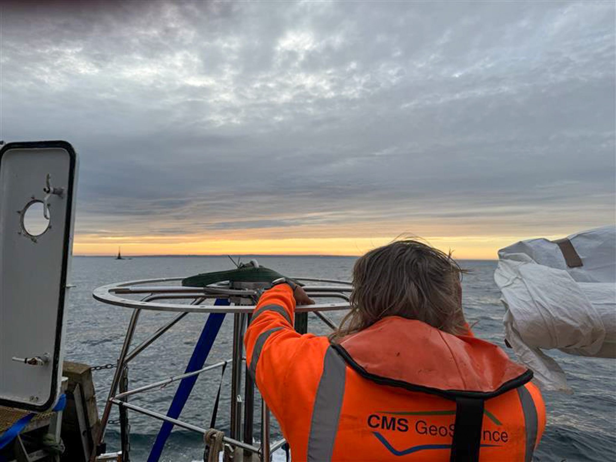
The Convex Seascape Survey
 CMs GeoScience Ltd recently partnered with the Blue Marine Foundation, the University of Exeter and Jersey Marine Resources on an exciting project, The Convex Seascape Survey. This initiative is a pioneering collaboration of world-leading scientists working to quantify and understand blue carbon stored in the coastal ocean floor, and the effects of marine life upon it. It will deliver new, reliable open-source data which will educate, inspire and enable informed decisions on ocean use, to harness the power of the sea in the fight against climate change. The role of CMS’s specialised geotechnical team was to collect 55 vibrocores and 8 multicores across various locations in the waters around Jersey.
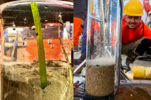
They collected undisturbed samples of sediment and supernatant water using a multi corer at 8 locations on the south and east of the island. One core from each location was transferred back to shore where the research team could perform eDNA testing. Dr Richard Tennant established a field molecular laboratory that allowed the team to both extrude and subsample the cores, as well as purify and sequence the DNA in Jersey. This data was then taken back to Exeter where they will investigate which flora and fauna are contributing to carbon stocks and determine how they have formed over the past two centuries. As the survey team were able to conduct on-site analysis, the data they generated can be validated once the other cores have been received in Exeter, to better understand the impacts of storage and/or transportation.
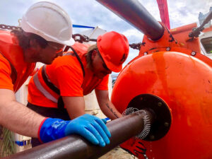 The project also looked at how protection from trawling and dredging activities might affect the capacity of the seabed to accumulate and store organic carbon. Researchers had a particular interest in how this protection affects the biodiversity of seabed habitats, as it is likely that the animals that live around jersey may play an important role in the flux of carbon through these environments.
The CMS team collected cores both inside and outside of the Jersey Marine Protected Area where mobile fishing gear is prohibited. This will allow academics to compare the differences in seabed organic carbon content and biodiversity according to different levels of seabed disturbance. The samples they cored will be analysed alongside short sediment cores of 30-60cm that they survey team gathered by hand using SCUBA.
Researcher, Dr Ben Harris, utilised a range of techniques to measure differences in biodiversity. Baited Remote Underwater Video Systems (BRUVS) were deployed to collect information on the abundance and body size of different fish and highly mobile invertebrate species such as crabs or lobsters. ROV and photo-quadrants were used to quantify the density and species diversity of less mobile animals living on-top of the seabed, these include sponges, ascidians and hydrozoans. The third approach was collecting sediment grabs for counting the biodiversity of animals, like worms and bivalves, living within the sediment itself.
CMS GeoScience worked with Anna Smith and the Convex team to design this survey. Jersey is a challenging place to operate, having the third-largest tidal range in the world with a range of >10m and 5-6 knots. Looking at sediment types as well as potential obstructions and limitations, CMS advised on sample locations to ensure that the needs of the project were met. With more interest in the top layers of sediment, it was decided that the HPC corer would be deployed in 3m mode, with a smaller corer aiming to help mitigate some of the tidal restrictions. After consultation, the project scope was defined as 55 vibrocores, predominantly around the south and east of the island.
Jersey is a busy tourist destination, attracting many small craft, sailing and leisure boat users. This is always a challenge when working close to shore, but particularly trying in such a picturesque location. The team consulted with Jersey Harbour Authorities and local agents to establish a plan that avoided any major maritime events, as well as using moorings and quay space around the island to limit steaming time.
Hayley Santer, the Senior Surveyor on the project, highlighted the need to remain fluid in approach to a project such as this. Each location was assessed and categorised depending on whether they were exposed to weather or tidally restrained. Weather forecasts were changeable and so it was vital that the team acquired the more weather sensitive sites, with contingency plans in place for operations to go ahead depending on the observed sea conditions at the time.
Hayley spoke about the level of preparation needed: ‘To maintain efficiency, and with several tidal locations spread in various bays around Jersey, it was crucial that we worked to minimise time spent waiting on the tide when trying to access more shallow locations.
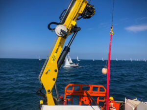 In addition to significant tidal ranges and rocky coastline, many of the reefs were poorly charted. With the team finding that there were large discrepancies in the data, it was important for us to take the additional time to capitalise on rising tides as well as note and mark a safe route into shoal areas, paying particular attention to locations that, while technically deep enough, were enclosed behind prominent, sometimes awash, rock. Using these proven routes, and ensuring we received regularly updated tidal information, enabled real-time assessment of the observed depths both on approach and when were deployed at each location. This also allowed us to establish what depths we could expect on completion of the sampling.
Communication went beyond those involved and extended to local power companies who had seabed assets within our remit. Consultation was key in carving out exclusion zones, with these companies requiring our assurance that any instance of seabed touch-down, be that from a sampler or sound velocity profiler, was logged outside of the reduced cable zones.
We were often operating within busy shipping routes, and St Helier VTW and the Jersey Coastguard were instrumental in reminding other vessels of the requirements of space and safe passing. To add to the intricacies of this project, our team were working over a number of weekends which meant that the increase in recreational club activities added to the difficulties of working in an area where marine traffic was already saturated. Our choice of a smaller, more compact vessel enabled us to work alongside these clubs and societies and we were able to complete the campaign safely with minimal disruption to us and the public’.
The geology around Jersey also presented a specific challenge to the team, with rocky outcrops being exposed by the high tidal range. Extensive planning using tidal and weather forecasts, as well as water depths, enabled the team to maximise working windows.
Owing to the unique tidal movements around the island, Rory Bardner, CMS Marine Geologist, found it interesting to discover such variation in the geology sampled throughout the campaign:
‘Cores recovered deposits ranging from silty sands to coarse gravels, often in proximity, and igneous bedrock was samples in many cases. Using the multi corer to recover undisturbed samples of the shallow seabed gave a real insight into the sediments, marine life and seagrass below us.
Due to the testing required, the cores had to remain at a constant temperature of between 4-5 degrees, which was made more difficult as many of the locations were >4-hour steam away from harbour. By working with the client and the vessel, a solution was found which allowed for onboard chilling facilities, as well as a space to safely operate the vibrocoring system, the multi corer and other equipment. Through creative thinking, the CMS team were able to meet this requirement to guarantee the quality of the samples and the subsequent data.
Mechanical Design Engineer, Jack Foll, reported on the difficulty in operating the geotechnical systems and the performance of the team overall:
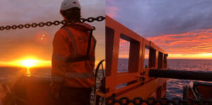
‘There was a great deal of preparation in anticipation for this campaign as we knew we would be working within a demanding environment. The waters in which the team were deployed experiences a tidal height of up to 12m, and this meant that our HPC corer had to operate in 3m to compensate for the strength of the tide. As well as this, we experienced unseasonably inclement weather throughout our time on the island which meant the team had to work within tight windows of opportunity, adding even more to the complexity of the project. We worked to ensure that our systems were tested, checked and serviced prior to commencing the project, and everyone onboard carried out their duties safely and effectively. The extensive planning from all involved meant that the contract was completed without any system breakdowns, and the team operated the equipment well, without incident, despite the many difficulties they faced.’
CMS GeoScience is proud to have played its part in helping researchers to highlight the need to preserve the ecologically, economically, and culturally important marine habitats of the Island, especially when Jersey relies so heavily on the ocean as a resource.

GEOxyz expands fleet with 3 new vessels
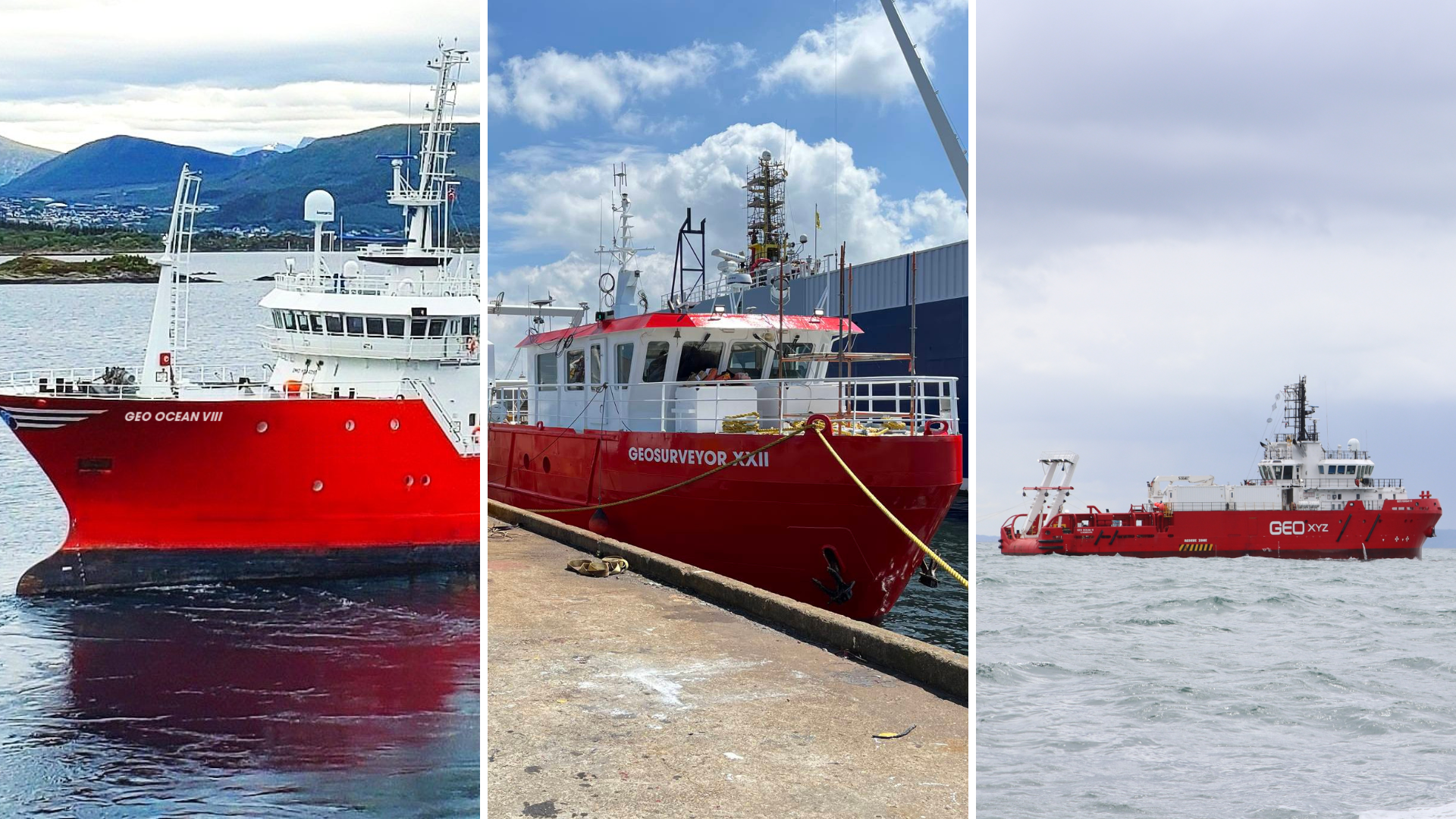
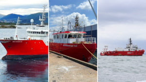 GEOxyz is excited to unveil the addition of three new vessels into its fleet, bringing the total fleet count to 30. This strategic expansion comes in response to the increasing demand for specialized survey services across the near- and offshore industries.
The new vessels, each equipped with the newest technology and advanced sensors, will enhance GEOxyz' capability to deliver survey solutions tailored to the unique needs of its customers.
- GEO Ocean VIII – This offshore vessel, set to join the fleet in late summer after undergoing a significant drydock transformation and will be fully equipped to undertake a wide range of surveys, including geophysical and geotechnical work.
Scheduled for its maiden project in September 2024.
- GEO Ocean IX – A sister vessel to our GEO Ocean V and GEO Ocean VI, the GEO Ocean IX will serve as the go-to vessel for environmental surveys and light geotechnical surveys.
Following an extensive drydock, she embarked on her first survey project in the North Sea in June.
- GEOSurveyor XXII – Designed for nearshore 24-hour operations, the GEOSurveyor XXII is currently undergoing final checks and preparations in drydock.
Ready for sea in a couple of weeks, this vessel will provide efficient solutions for nearshore survey requirements.
"We are happy to welcome these three new vessels to our fleet," said Patrick Reyntjens, CEO at GEOxyz. "In a very in-demand market like today, the expansion of our vessel portfolio is a very welcome decision. It offers more flexibility towards planning and expands the services we can offer to our customers. With these new vessels, we are very well-equipped to meet the evolving needs of our customers and deliver exceptional survey services across diverse projects. Furthermore, the expansion with two new GEO Ocean vessels supports our company's ongoing geographical growth beyond Europe, of which, we are very excited about."
Acteon awarded structural monitoring and digital twin O&M work for Kincardine Offshore Wind Farm floating turbines
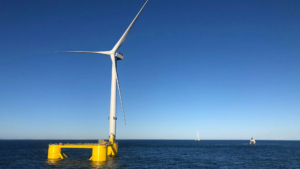
Acteon, a global leader in offshore engineering and technology services, has been awarded operations and maintenance (O&M) work comprising integrated structural health and motion monitoring, and a structural response digital twin for the Kincardine Offshore Wind Farm.
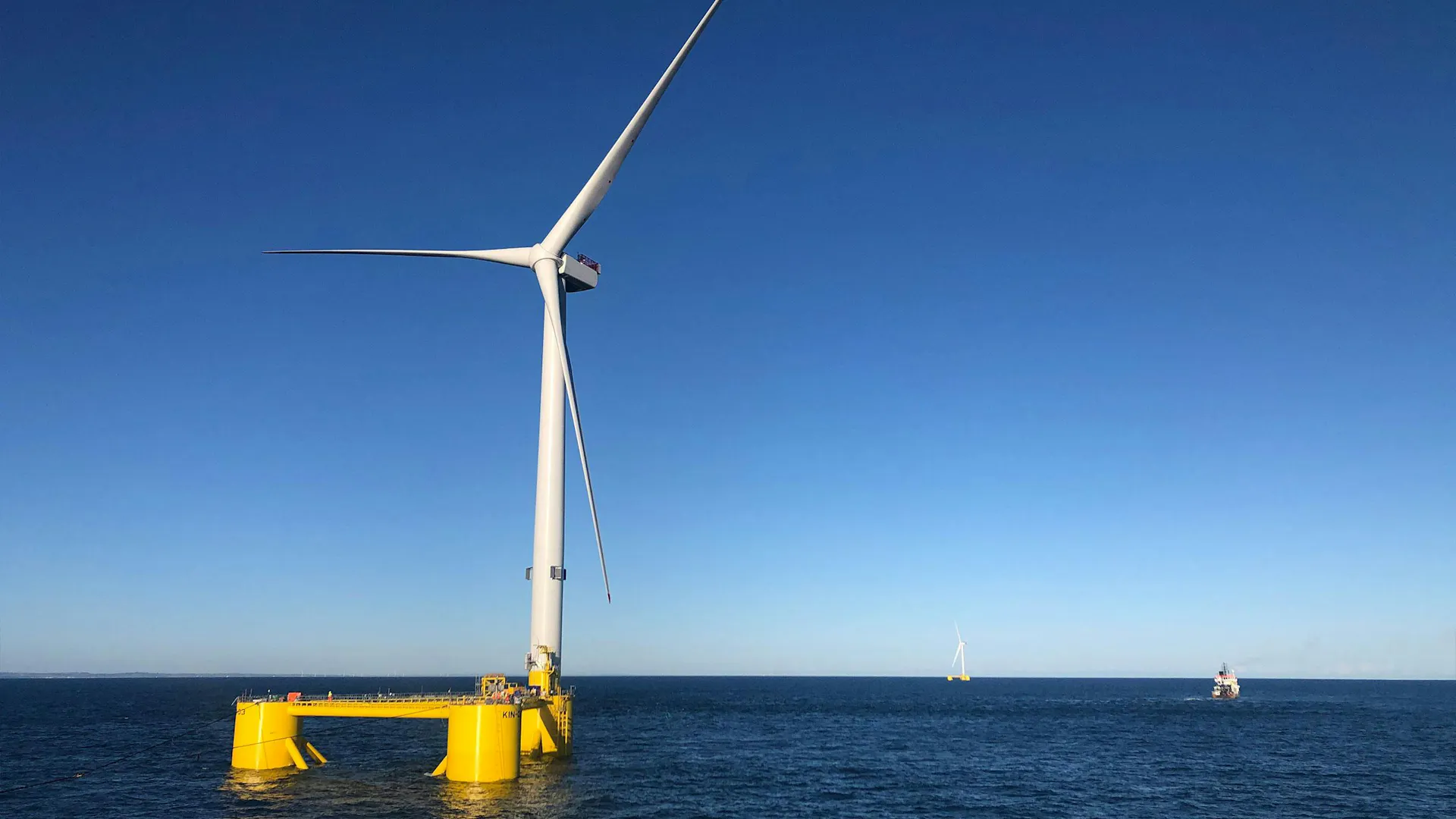
The scope of work covers the wind farm’s floating turbines, located 15 km off the coast of Aberdeen, Scotland. The work started in spring 2024 for Grupo Cobra, which operates the 50-MW wind farm for Kincardine Offshore Windfarm Limited (KOWL), whose majority shareholder is DRAGADOS S.A.
Pulse, Acteon’s established brand specialising in structural monitoring, is spearheading the design, supply, and installation of cutting-edge structural health and motion monitoring systems for the floating wind turbines. The systems will include six-degree-of-freedom motion monitoring and position and heading sensors on the platforms, additional load strain gauges and data-connectivity infrastructure.
In parallel, 2H, Acteon’s renowned advanced systems engineering brand, is developing and implementing a structural response digital twin based on machine-learning techniques. As a solution that is seamlessly integrated with the monitoring systems, this digital twin will provide unparalleled insight into the asset response during operations, give an early indication of possible anomalies, and help optimise future inspection and survey activities. The operational data will also be an invaluable tool to enable asset life extension.
Over the course of the 18-month work, Acteon will collaborate closely with Grupo Cobra to advance digital twin technology and the project is part-funded by Red.es (Grant ID: 2021/C005/00149745), through the Spanish Recovery and Resilience Plan, funded by the European Union (Next Generation EU).
Kincardine Offshore Wind Farm, featuring five V164-9.5 MW turbines mounted on Principle Power WindFloat platforms, is one of the world’s largest operating floating wind farms. Positioned in water depths ranging from 60–80 metres, these turbines have been successfully generating clean energy since October 2021.
“With eighty per cent of the world’s offshore wind resources in deep waters, floating turbines open new opportunities to harness clean energy,” says Juan Antonio López, Grupo Cobra O&M Manager. “Scotland is at the leading edge of floating wind developments. Kincardine demonstrates the readiness of floating wind, and Acteon’s work in helping us to understand how the assets respond to real life operating conditions will be invaluable for managing this wind farm and providing the insight we need to improve future floating wind projects.”
“Providing an integrated monitoring and digital twin solution is vital,” says Tim Eyles, Vice President, Acteon. “Our technologies are specifically selected for dynamic floating wind assets. Our extensive long-term experience of structural monitoring and design of dynamic offshore assets will inform the digital twin response modelling and assessment of the floating turbines.”
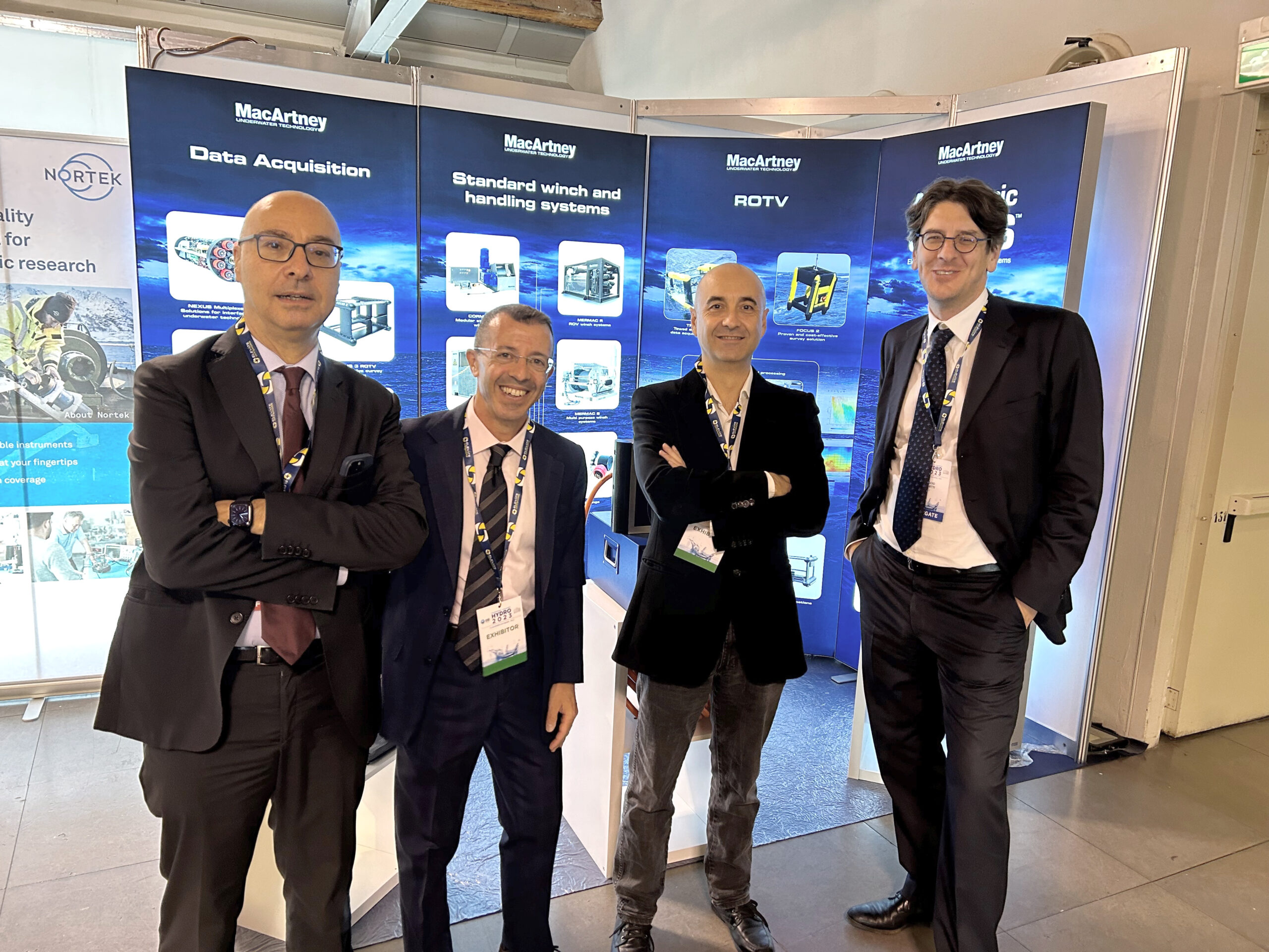
MacArtney and Elettra Collaborate to Enhance INGV's Subsea Monitoring Capabilities
MacArtney is proud to announce a partnership with Elettra Tlc to deliver critical subsea infrastructure for the Italian National Institute of Geophysics and Volcanology (INGV), enhancing its capacity for environmental monitoring and research.
The scope of this collaboration involves installing and connecting a new subsea power, communication and data transmission network located 2,200 metres deep and 35 kilometres offshore from Catania, Italy, where INGV will strongly enforce its existing marine site as part of the ITINERIS project (Italian Integrated Environmental Research Infrastructures System).
Elettra and MacArtney have joined forces to supply essential and dependable subsea infrastructure, ensuring high-quality performance and data efficiency for INGV's operations.
"We are thrilled to collaborate with MacArtney on this significant project for INGV," said Elio Rubino, Managing Director of Elettra Tlc. "Our combined effort ensures a robust and reliable system, providing INGV with the tools necessary for critical environmental monitoring."
Comprehensive technical scope
In this partnership, Elettra and MacArtney will handle different but complementary responsibilities. Elettra will supply the main electro-optical submarine cable (MEOC). Their scope also includes ensuring robust connections and managing the installation and testing of the complete system at the operating site.
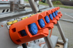
MacArtney will provide the cable termination assembly (CTA) and a customised cable termination frame (CTF) as integral components of an advanced subsea sensor platform. The CTF serves as both a distribution hub and connection point for the sensor platform, allowing for seamless integration of scientific instruments into the power network and efficient data transfer to and from the ground station, utilising hybrid ODI penetrators and ROV-mateable connectors. At the heart of this platform is the medium voltage conversion system (MVC) and PBOF transformer canister, which are essential for its smooth operation.
The scope also includes a power supply and control system, a remote management system for INGV's operational oversight and maintenance, and factory and site acceptance testing to check and verify compliance with the preapproved specifications.
Significance and impact through joint efforts
"Our collaboration with Elettra marks a significant milestone in advancing INGV's subsea monitoring capabilities," said Vincenzo Mauro, General Manager at MacArtney Italy. "By combining our strengths, we ensure that INGV can rely on a powerful and efficient infrastructure for their research. Additionally, this project highlights MacArtney's growth in delivering innovative underwater solutions."
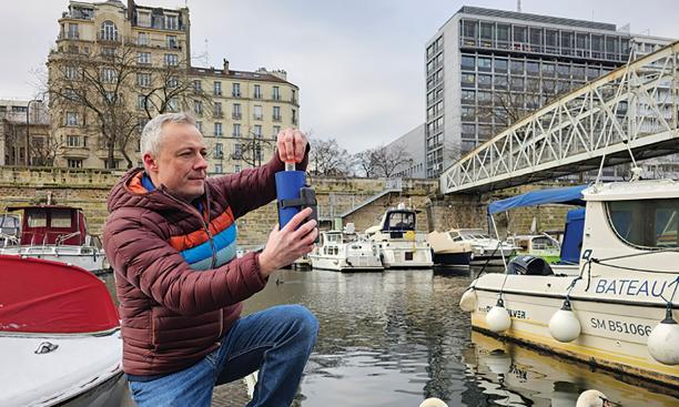
Fluidion® launches live 2024 Olympics Seine Water Quality Data as part of Open Data initiative
One month prior to the 2024 Olympic opening ceremony, our partners Fluidion is proud to announce the launch of the live water quality data broadcast for the Seine River. This initiative is part of Fluidion’s Open Data Initiative, accessible on the Fluidion Open Data Initiative Website.
With the 2024 Olympics set to host several water-based events in the Seine River, addressing water quality concerns has become crucial. As a leader in rapid microbiology instrumentation and a deep-tech company founded on scientific expertise, Fluidion is deploying the state-of-the-art ALERT technology to provide up-to-date water quality insights for the Olympic venue. Fluidion has maintained an intensive monitoring program in the Seine River since 2016.
As athletes and spectators from around the world gather in Paris for the 2024 Olympic Games, Fluidion is committed to transparently informing the public about water safety using accurate and scientifically validated data.
Key Highlights:
- Live Data Access: The Open Data Initiative offers live updates on water quality at the 2024 Olympic site, ensuring transparency and safety for all water-based activities during the Olympics.
- Advanced Automated Monitoring Technologies: Fluidion’s ALERT technology provides rapid, accurate, near real-time measurements of fecal indicator bacteria such as E. coli, enabling timely and automated results delivered directly in the Cloud.
- Laboratory Validation: We display side-by-side results obtained using standard laboratory methods.
- Managing Uncertainty: In addition to daily measurements, we provide confidence intervals to highlight measurement uncertainty, crucial for managing risks in microbiology.
- Getting the Science Right: We provide a wealth of additional information beyond traditional measurements. Fluidion ALERT instrumentation offers both planktonic and comprehensive E. coli counts, providing a deeper understanding of waterborne health risks not captured by standard laboratory methods. We also collect DNA-based measurements of human tracers.
- Accounting for Environmental Factors: We also provide environmental data such as rainfall and river discharge to correlate their effects with water quality.
- Data History: We offer high-resolution time series of E. coli levels in the Seine starting in early April, showcasing improvements in water quality.
- Global Impact: With technologies deployed worldwide, Fluidion helps communities, utilities, and municipalities manage water quality effectively and sustainably.
“We are excited to support the 2024 Olympics by transparently providing live water quality data for the Seine River.” said Dr. Dan Angelescu, CEO of Fluidion. “Our mission is to develop scientifically-validated automated monitoring solutions that promote a healthier environment and reduce the public health impacts of pollution. ”
Fluidion invites the public, athletes, and environmental enthusiasts to visit the Open Data Initiative website to monitor the Seine’s water quality in the run-up to and during the Olympics. This transparency not only enhances safety but also promotes environmental awareness and responsibility.
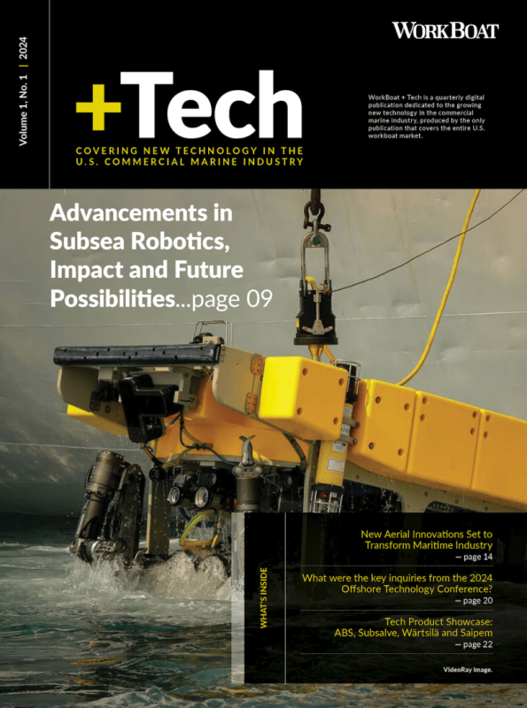
WorkBoat + Tech Volume 1, No. 1
 WorkBoat + Tech is a quarterly digital publication dedicated to the growing new technology in the commercial marine industry, produced by the only publication that covers the entire U.S. WorkBoat market.
This quarterly publication will explore the innovations that are redefining exploration, inspection, and offshore energy operations, covering a variety of topics ranging from alternative fuel technology to ROVs and the different components that enhance their mission-specific capabilities.
Here’s what you can expect from our current volume:
- Advancements in Subsea Robotics, Impact and Future Possibilities
- New Aerial Innovations Set to Transform Maritime Industry
- What were the key inquiries from the 2024 Offshore Technology Conference?
- Tech Product Showcase: ABS, Subsalve, Wärtsilä and Saipem
Your free issue is available now. Fill out the short form here to download the latest volume of WorkBoat + Tech.
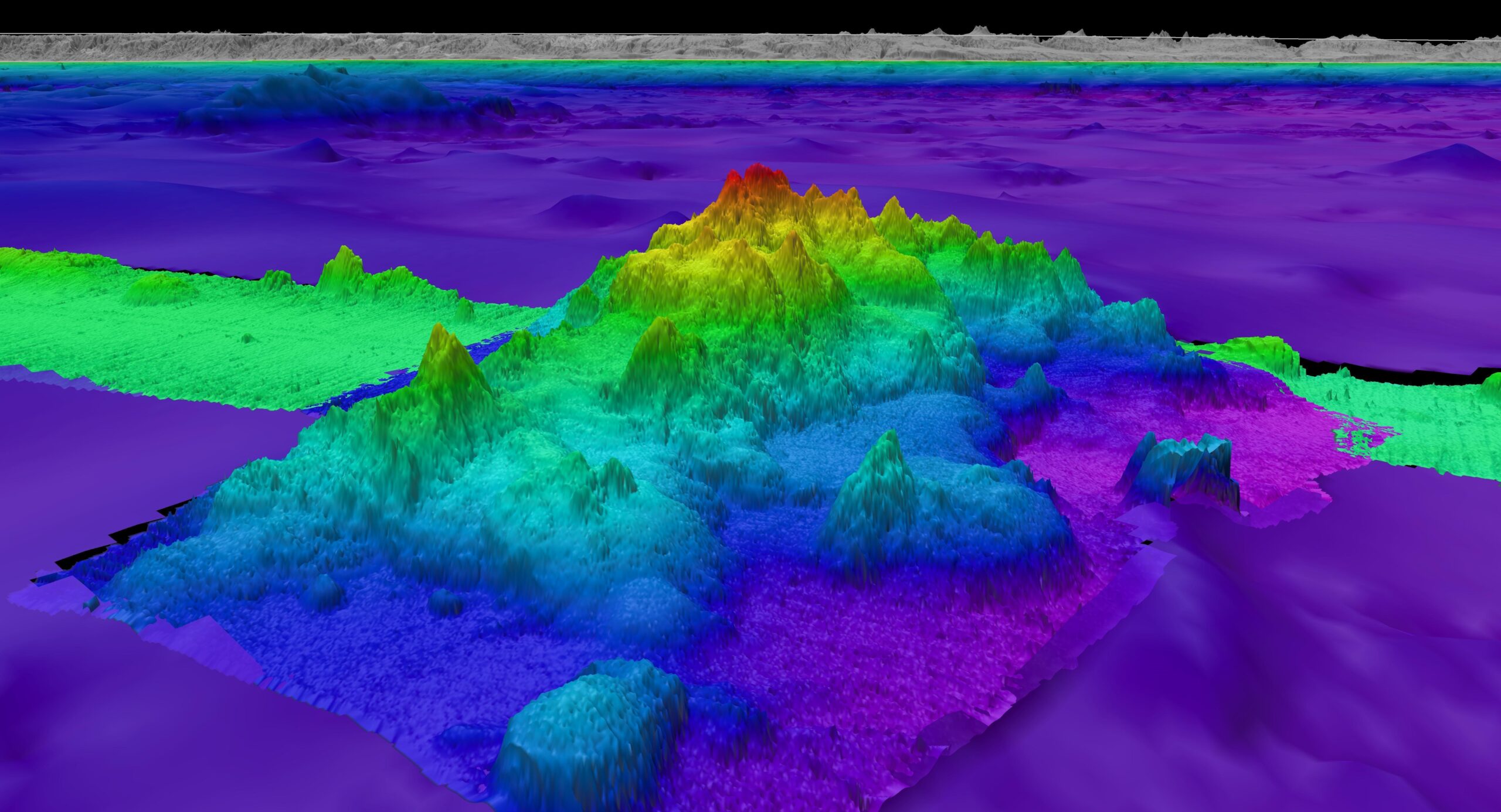
New marine discoveries underscore importance of ocean floor mapping as Seabed 2030 announces latest progress on World Hydrography Day
On the occasion of World Hydrography Day, The Nippon Foundation-GEBCO Seabed 2030 Project has announced the latest percentage of ocean floor mapped, marking an increase of 4.34 million square kilometres of new data – equating to an area the size of the European Union.
The global effort to compile a definitive map of the world’s entire ocean floor is being spearheaded by Seabed 2030 – a collaborative project between The Nippon Foundation and the General Bathymetric Chart of the Oceans (GEBCO), with the latter being a joint programme of the International Hydrographic Organization (IHO) and the Intergovernmental Oceanographic Commission (IOC) of UNESCO.
Seabed 2030 is also a flagship programme of the Ocean Decade – a framework to create a sustainable and well managed ocean.
The latest figure of 26.1% mapped is a testament to the continuous efforts and advancements in seafloor mapping technologies and activities. While the increase showcases progress in the portion of the seabed mapped, it’s important to highlight the remarkable discoveries made possible through this global effort to uncover Earth’s final frontier – discoveries that are essential for realising sustainable ocean management.
In the past year alone, ocean research has led to the characterisation of the largest known deep-sea coral reef habitat off the southeast U.S. coast. The multi-year campaign to map and explore this region was led by Seabed 2030 partner National Oceanic and Atmospheric Administration (NOAA) Ocean Exploration, in collaboration with a host of other government, academic, and private sector collaborators. The analysis of newly-mapped seafloor revealed an extensive coral habitat spanning over 6.4 million acres on the Blake Plateau.
"This strategic multi-agency effort to systematically map and characterise the stunning coral ecosystem right on the doorstep of the U.S. East Coast is a perfect example of what we can accomplish when we pool resources and focus on exploring the 74% of global marine waters that are still unmapped," said Derek Sowers, lead author of the study and Mapping Operations Manager at Ocean Exploration Trust.
Advanced sonar and imaging techniques documented 83,908 coral mounds, showcasing the immense biodiversity previously unknown in this region. This discovery, supported by imagery from 23 submersible dives, highlights the critical role of seafloor mapping in revealing previously unknown aspects of the ocean.
In another remarkable finding, the crew aboard the Schmidt Ocean Institute’s research vessel Falkor (too) made a groundbreaking discovery of four underwater mountains, with the tallest of these standing over 1.5 miles high, using multibeam mapping techniques. These seafloor features, revealed during a transit from Golfito, Costa Rica, to Valparaiso, Chile, had not been previously recorded in any bathymetric database. Additionally, scientists aboard the Schmidt Ocean Institute research vessel Falkor (too) have identified over 100 potential new marine species during a single deep-sea expedition, highlighting the vast, untapped biodiversity of the ocean.
Executive Director of Schmidt Ocean Institute Jyotika Virmani commented: "What lies beneath the waves is the largest mystery on our planet and the ocean continues to reveal magnificent new surprises. Schmidt Ocean Institute is proud to be a partner of The Nippon Foundation-GEBCO Seabed 2030 Project and a part of the phenomenal international effort currently underway to map our entire planet for the first time in human history."
These findings underscore the vital importance of seabed mapping in enhancing our understanding of marine ecosystems and informing frameworks for sustainable management.
Seabed 2030 Director Jamie McMichael-Phillips said: "Seabed mapping has proven to be a powerful tool in advancing our knowledge of marine ecosystems and biodiversity, and the impressive discoveries made this year alone highlight the critical importance of our mission.
“Commendable progress has been made since Seabed 2030’s inception in 2017, with over 94 million square kilometres of bathymetric data acquired through global partnerships, data mobilisation, and advancements in technological innovation, but much of the ocean still remains a mystery. The discoveries made over the course of the past year serve as a striking reminder of how much of our own planet we have yet to understand and, in turn, safeguard.
“The achievements made to date would not be possible without the concerted efforts of our global network of partners and the international maritime community. Now, as we strive towards the end of 2030, we need the collective support of all stakeholders – governments, industry, academia, and even the public – to help us realise our ambitious, yet necessary, goal of a fully mapped planet.”
All data collected and shared with the Seabed 2030 project is included in the free and publicly available GEBCO global grid.

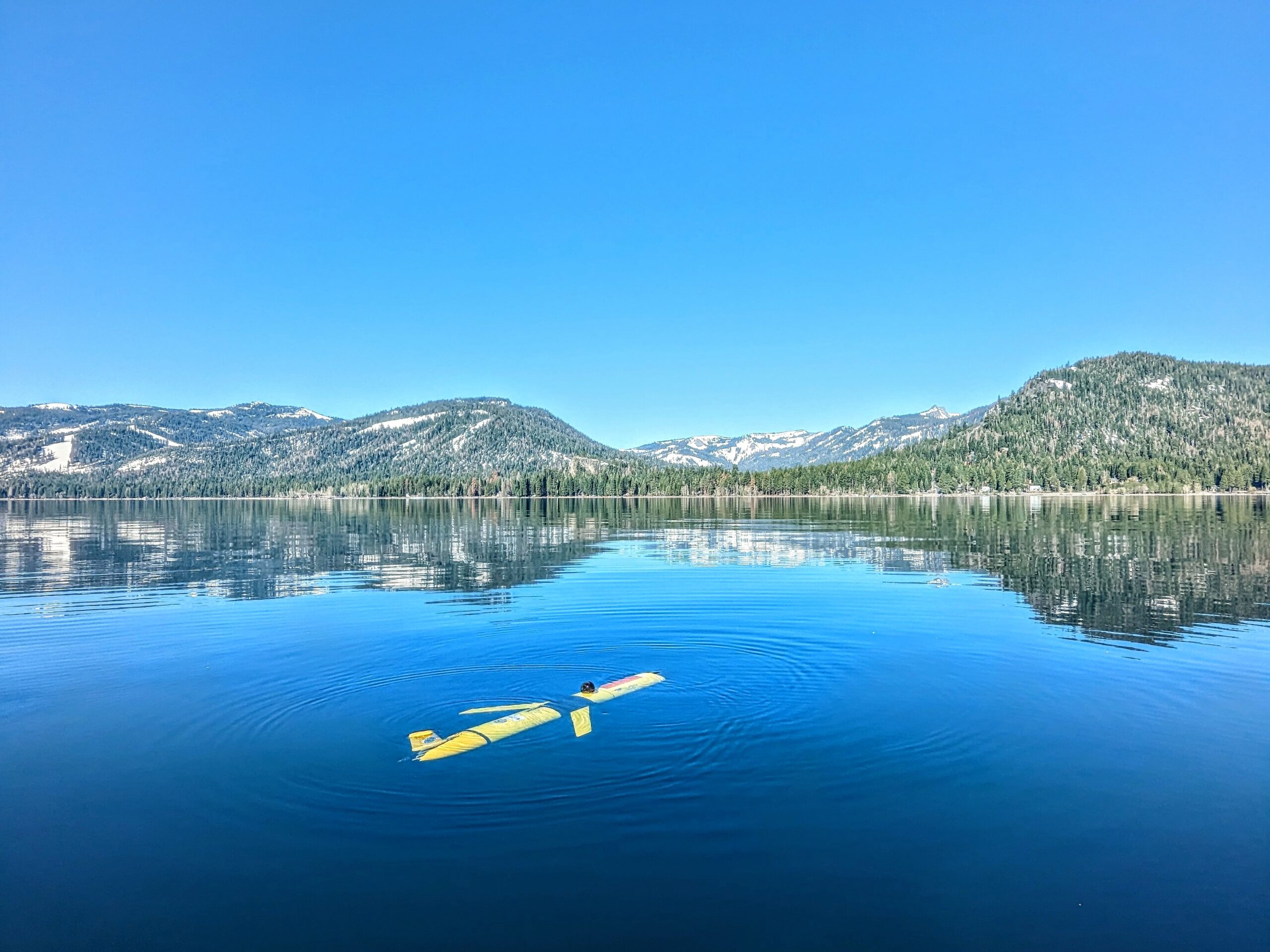
Teledyne Marine Announces 2024 Photo & Data Contest
Teledyne Marine is excited to announce the launch of the 2024 edition of the Teledyne Marine Photo & Data Contest. We invite our customers to showcase their creativity and expertise by sharing photos of Teledyne Marine products in action, whether in the office, lab, or field, as well as data samples collected using our products. Share your work, gain inspiration from others, and highlight your unique perspective and achievements with a global audience. By participating, you join a vibrant community of professionals pushing the boundaries of marine technology!
Contest Details:
- Eligibility: This contest is open to all Teledyne Marine customers. Please note that government officials are not eligible for prizes as per the eligibility criteria specified in the contest rules.
Awards and Prizes:
- Voters’ Choice Award – Grand Prize:
- Prize: HERO12 Black Creator Edition ($500 value)
- Selection: The winner will be chosen from the top 10 images receiving the most votes.
- Category Awards:
- Categories: Best Data Award, Aversity Award, Moment of Zen Award, and Underwater Award.
- Prize Options: Winners can choose between a DJI OSMO Gimbal Smartphone Stabilizer, a KODAK PIXPRO WPZ2 Rugged Waterproof Digital Camera, or a Garmin Instinct 2X Solar - Tactical Edition Rugged GPS Smartwatch.
- Selection: A jury will select winners from all images with more than ten votes.
How to Participate:
- Submit your photos and data samples showcasing Teledyne Marine products in use. Read more here.
- Gather votes for your submission to be considered for the Voters’ Choice Award.
- Ensure your entry meets the criteria outlined in the contest rules.
We encourage all participants to read the contest rules to learn more about eligibility, submission guidelines, and other important details.
Join us in celebrating the innovative and diverse applications of Teledyne Marine products. Share your best moments, impress the jury, and you could be one of our lucky winners!
For more information about the contest, visit the Teledyne Marine Contest Page at https://go4.teledynemarine.com/contest
Teledyne Marine customers include those who purchase or use our products professionally. Due to contest rules, government officials are excluded from prize eligibility.
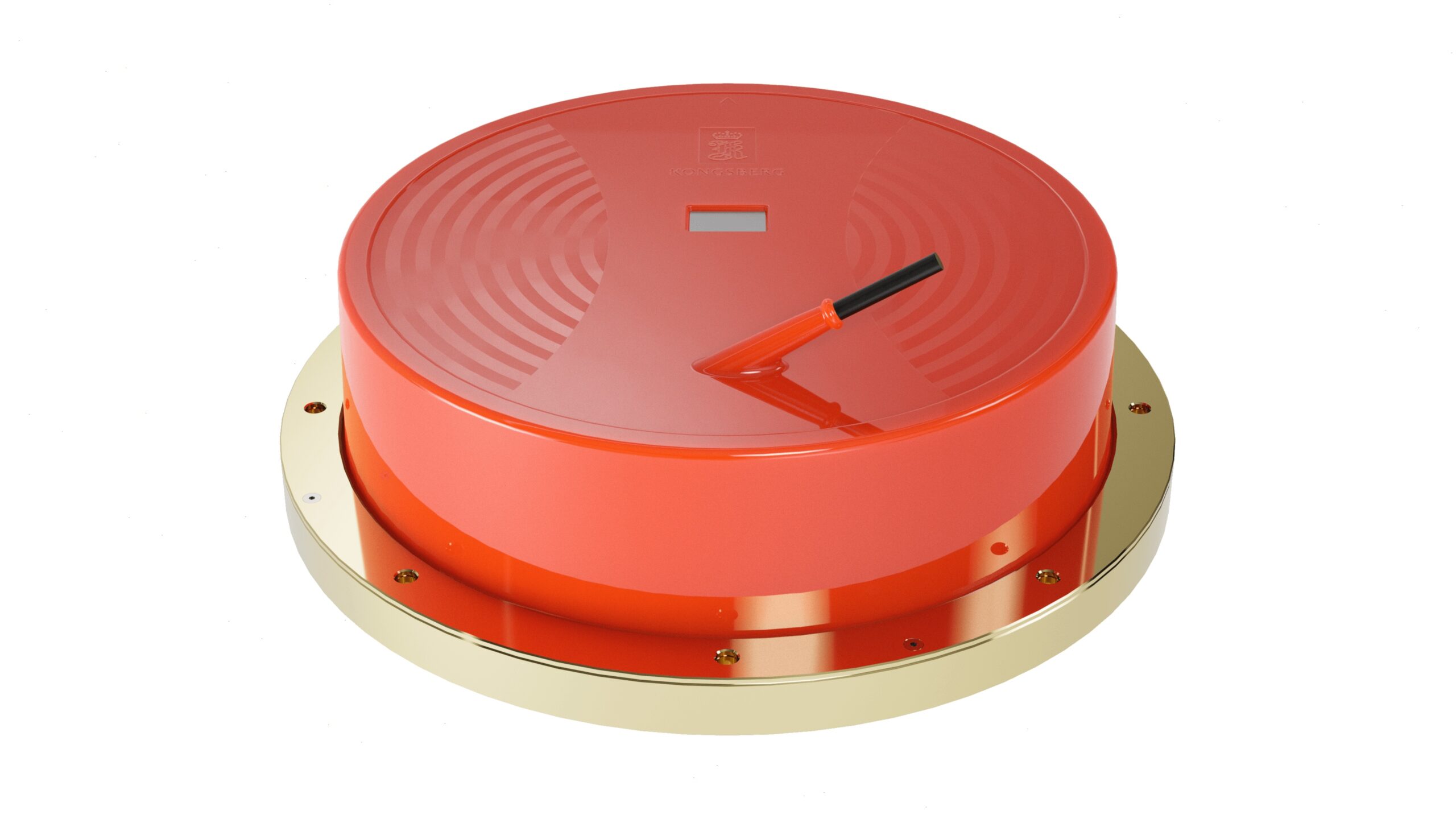
Kongsberg Discovery echo sounder upgrade opens new frontiers in Ocean Science
Ocean Science specialist Kongsberg Discovery is strengthening its industry-leading EK80 echo-sounder product family with unprecedented wide-band low-frequency capability that will enable customers across Governments, Academia, and Industry to gain a much more detailed picture of the ocean environment than has previously been possible, amid an increasing focus on sustainable management of the oceans.
The EK80 product family is part of Kongsberg Discovery’s portfolio of monitoring and measuring tools and is used for all types of ocean research. The product family has historically been used primarily for biomass assessments, but the instruments are seeing increased adoption for other biological, physical and chemical oceanography applications. An EK80 vessel-mounted system typically comprises six transducers operating at different sound frequency spectra, matched with transceivers, software, and planning tools. The transducers are calibrated to give highly accurate, quantitative metric values of application targets.
Increasing the wide-band spectrum
Kongsberg Discovery’s new ES18-11 MK2 transducer widens the operational frequency spectrum of its existing ES18 split-beam transducer from 18 kHz to at least 14 to 22 kHz, increasing the resolution of the data as well as providing more information for target identification from this frequency band.
The development project also led to an improvement in transducer element design reducing the challenge with ringing, which mean that the transducer can be used for both shallow and deep-water measurements.
“The ES18-11 MK2 further enhances the EK80's overall performance and brings us one step closer to uncovering the mystery of the oceans. It is an important innovation that we are certain will contribute to increasing knowledge of ocean biology, physics and chemistry, in line with UN SDG 14 Life Below Water,” says Lars Andersen, VP Ocean Science at Kongsberg Discovery.
Essential for fisheries management
The core application of ESI8-11 MK2 remains the identification of biological targets. The 18 kHz transducer is already common on most research vessels, but the wider bandwidth of ES18-11 MK2 can reveal the much richer biological diversity actually present. Findings can be used to fingerprint what species are present, and thus uncover components of the food chain in that area. “Any fish stock that is commercially fished must have a management plan, and the MS18-11 MK2 will help to generate more holistic ecosystem assessments so that authorities can make better stock management decisions,” Andersen says.
Understanding life in the water column is also key for environmental impact studies, for example in offshore wind-park development where EK80s already have been deployed to collect ecosystem data in Europe and the US.
Mesopelagic research
Understanding ocean ecosystems in the mesopelagic zone (roughly from 200 to 1,000 metres), home to the planet’s largest biomass of fish and marine organisms, is a growing field in oceanography and ocean management. With its expanded frequency, the ES18-11 MK2 can be used to quantify marine life through the entire water column, divulging size and quantity of targets in the 'Ocean Twilight Zone'.
Increased understanding of the mesopelagic ecosystem is essential to govern potential future harvesting of what is effectively the largest unexploited resource left in the world's oceans, with a recent global biomass estimate of around 10 billion metric tons. Deep sea mining might also influence through discharge of sediments midwater, which further enhance the importance and urgency to understand these ecosystems.
Physical oceanography
The ES18-11 MK2 can detect and quantify the interface between water masses, enabling improved detection and mapping of oceanographic layers (stratification), and changes in water salinity and temperature. This can help researchers understand, for example, how the ocean absorbs CO2 and to monitor climate change impacts. In addition to physical sampling, mapping water masses can also contribute to understanding the dynamic mixing of warm and cold-water fronts in the oceans and its effects on ocean gyres (circulation).
The sensor data can also be used as input to Conductivity, Temperature and Depth (CTD) analysis, reducing the expense and time needed for repeated CTD probes. In addition, improved understanding of sound propagation serves as important input for various acoustic instruments used for water-column object detection.
Seabed classification and suspended sediments in water column
The EK80 is the only calibrated broadband acoustic system that can measure backscatter to provide absolute values across sites and sensor platforms. Serving as a supplement to high-resolution seafloor mapping systems, the EK80 provides valuable information required to classify seafloor composition from acoustic surveys. In addition, recent publications have established a link between EK80 wideband data and sediment concentration in the water column, which is critical to monitor to understand influence on the local ecosystem during operations such as dredging or mining.
Quantification of gas leaks
The ES18-11 MK2 can identify and quantify both natural and anthropogenic seeps. Understanding the natural background seepage in an environment is critical to understanding the impact of human-caused leaks, whether they are from subsea pipelines, production and exploration wells, or undersea carbon sequestration sites. Not all leaks rise all the way to the surface, so the added detection range with low-frequency bandwidth enables identification of deep seeps that dissolve into the water column near the seafloor.
Continuous innovation
The EK80 system has been and will continue to be developed over decades with input from leading marine institutes worldwide, with the overall goal of improving marine ecosystem management. Over the last few years CRIMAC, a centre for research-based innovation in Norway, has been the focal point of this development. “Adding low-frequency wideband capacity is a game-changer for ocean research by providing much more details from a spectrum that holds a lot of information,” concludes leader of CRIMAC and senior Institute of Marine Research (IMR) researcher Nils Olav Handegard.
Normal production of the ES18-11 MK2 has started, with scheduled deliveries from August.
Chris Levine unveils new artwork to highlight the health of our oceans on World Ocean Day
Globally renowned British light artist, Chris Levine has collaborated with the Convex Seascape Survey to create an immersive artwork that delves underwater and introduces viewers into the lesser-known role that the ‘Benthic Zone’ plays in the health of our oceans.
Titled ‘7.83 Hertz,’ and timed for World Ocean Day on Saturday, June 8th, Levine’s installation spotlights the mysteries of how the ocean's continental shelves, sedimentary seafloor and the creatures therein, form part of the slow carbon cycle, and play a vital role in the global ecosystem.
This echoes the work of the Convex Seascape Survey - a pioneering, five-year, multi-million dollar research initiative spearheaded by ocean conservation charity Blue Marine Foundation, University of Exeter and Convex Group Limited. Led by a team of experts, the project aims to harness nature's hidden superpower in helping combat climate change by uncovering the ocean's potential as a carbon sink. It will deliver new, reliable open-source data which will educate, inspire and enable informed decisions on ocean use.
7.83 Hertz
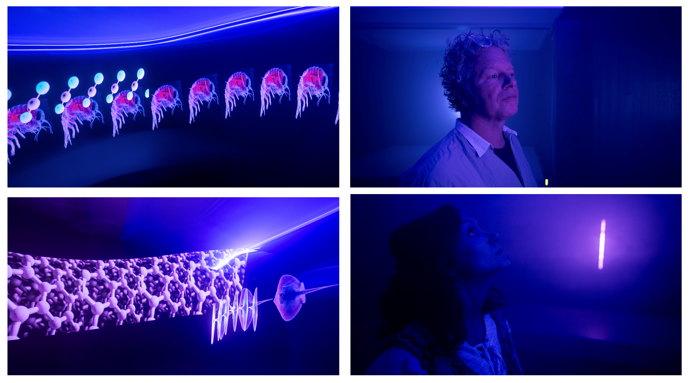
Known for his avant-garde exploration of light and perception, Levine’s latest work immerses individuals in an atmospheric zone of blue light, beneath the ‘water line,’ and is intersected by a vertical ‘blipvert.’ The work illuminates aspects of this strange, subaquatic netherworld, and takes people on an underwater journey of a Convex Seascape Survey marine biologist researching the critical area of carbon sequestration. Entitled 7.83 Hertz- a frequency also known as the Schumann Resonance and often referred to as the heartbeat of the Earth - Levine’s artwork encapsulates how all natural living processes, including the ocean, are connected, and harmonise together for an optimum healthy state.
At the forefront of laser technology, the blue ‘water line’ sited around the totality of the space, is designed to create a sense of being beneath the ocean. Viewers will experience imagery ‘swimming’ in and out of their field of vision and activating their subconscious awareness for this little-known submarine world. Immersing people even further, there will be sounds of the moving sea throughout.
Meanwhile, the vertical ‘blipvert’ is inspired by the methodology of scientific investigation into what lies beneath the water column, such as core samples and glass tubes that show transections of the ocean floor and the activity of bioturbation. Chris collaborated with soundscape collaborator Marco Perry to create the installation.
Chris Levine, Artist said “The crucial role of the ocean in understanding climate behaviour and marine biodiversity is often overlooked. Following a visit to the Convex Seascape Survey research laboratories at the University of Exeter, and the National Oceanography Centre, Southampton to learn more about the Benthic Zone, I knew the work had to encourage humankind to let the ocean rest. Let it be. When immersed in 7.83 Hertz, you can feel and hear the continuous work of the ocean, but it encourages you to slow down and celebrate its ability to protect us now and in generations to come.”
Gabriella Gilkes, Programme Manager, Convex Seascape Survey said “Over centuries humans have created harmful disturbances to the ocean and the seafloor. Once a bountiful underwater garden, the ocean floor has been dramatically altered since the advent of mechanical fishing, in particular bottom trawling, which indiscriminately scrapes the seafloor, destroying entire ecosystems, and disturbing what carbon has been stored there. Chris’ unique artwork highlights the precious nature of the ocean floor as a critical resource in the fight against climate change. The Convex Seascape Survey is delighted to see our scientific research into the ocean’s role as a carbon sink brought to life so beautifully through this immersive artwork. Importantly, this partnership will help raise awareness of the need to protect the ocean and let it rest, so it can continue to be enjoyed and sustained.”
Lisa Samos, Art Consultant, Blue Marine Foundation said "It has been very inspiring following Chris Levine’s creative journey inspired by the Convex Seascape Project, as he immersed himself in the Project’s scientific exploration of the marine Benthic Zone. Consistently innovative in his practice, he has created this series of sublime and mind-opening new works. The collaboration between a virtuoso light artist inventing new ways of seeing, with marine science at the forefront of scientific research, reveals itself as an important legacy project for the future.”
Experience it for yourself
The artwork will be available for public viewing in Chris Levine's studio in Mayfair from Monday, 10th June to Thursday, 4th July by appointment. It will then travel to further destinations for the public to experience - exact locations and dates to be announced.
Where: 5A Shepherd St, London W1J 7HW
When: Available to view from Monday, 10th June 2024 – Thursday, 4th July 2024
Monday – Thursday, 10am – 5pm
How: Please email [email protected] to book your appointment.