

Kraken Awarded Robotics as a Service (RaaS) Contract from Government of Canada
Kraken Robotics Inc. (TSX-V: PNG, OTCQB: KRKNF), Canada’s Ocean Company™, is pleased to announce that it has signed a Robotics as a Service (RaaS) contract with the Canadian government for testing of Kraken’s ultra-high resolution survey equipment with the Royal Canadian Navy (RCN). This $0.5 million contract is funded under the Canadian government’s Innovative Solutions Canada program, and the testing department for this service offering is the RCN’s Fleet Diving Unit Atlantic (FDU-A) based in Halifax, Nova Scotia. The RCN has a mandate to develop and maintain an advanced sonar imaging and data storage capability for all three coasts, and to deploy this capability to national and international areas of interest. Under the contract, Kraken will deploy its KATFISH™ towed SAS sonar system and will integrate a Kraken Light Weight SAS (LW-SAS) onboard a REMUS 100 Autonomous Underwater Vehicle (AUV) owned by FDU-A. This contract will be completed by March 31, 2022.
Augmenting the RCN’s Current Capabilities
This contract will provide the RCN FDU-A access to cutting edge technology and high-resolution seabed data. FDU-A uses a number of different seabed imaging sonar solutions for their various mission requirements, including Towed Sonars Systems (typically deployed from a Kingston-class MCDV vessel, with a crew of 40 persons), and Light Weight Sonar Systems (typically deployed from REMUS-class AUVs). Kraken’s RaaS service can augment FDU-A’s existing capabilities, by providing them with significantly better data, at a much lower cost, and leveraging continuously improving capabilities.
The contract involves testing the Kraken RaaS capability in two configurations:
Towed KATFISH™ Synthetic Aperture Sonar (SAS) system, deployed on a Surface Vessel of Opportunity (the R/V Ocean Seeker). This could also be tested onboard an RCN Asset (such as the Kingston-class MCDV). One purpose of the test is to show that in combination with RaaS, vessels of opportunity can also be used at a lower cost and higher availability to augment the RCN’s capabilities.
Untethered Light Weight SAS system, deployed on an RCN Underwater Vessel of Opportunity (REMUS 100 AUV), and tested with the KATFISH™ system above. A purpose of this test is to show that RaaS can be quickly added to existing RCN assets, to augment their capabilities.
Benefits to the Navies
Kraken believes its RaaS offering could provide significant benefits to other navies around the world. With Kraken RaaS, navies can access cutting edge technology “as needed”, without concern for equipment obsolescence, life cycle costs, or operator skill fade. As it relates specifically to the RCN, Kraken RaaS offers many advantages:
Both RCN operating bases, MARLANT (Maritime Forces Atlantic) and MARPAC (Maritime Forces Pacific) are mandated to maintain Q-routes (safe passage lanes along the coasts and into designated harbors, of Canadian waters) on an annual basis. These surveys take a significant amount of time with current RCN technology due to image quality and speed of current towed bodies. Kraken’s technology would greatly enhance the image quality and reduce the time of the surveys significantly due to the advance in state-of-the-art technology.
Kraken’s technology can be deployed to assist the RCN in mapping areas of interest ahead of regular exercises and operations, with the image quality required to enable change detection and optimize revisit rates. This has the potential to provide the RCN with a competitive edge for detecting bottom objects in complex seabeds.
Kraken’s technology and service application can augment route survey activities while simultaneously supporting near shore hydrographic mapping and charting requirements on an annual basis with high-definition resolution, freeing up valuable Navy assets for other mission critical functions
CEO Comments
Commenting on this contract, Karl Kenny, Kraken President and CEO noted, “Kraken is excited to be able to offer RaaS to the RCN as an “Early Adopter” to augment existing RCN Route Survey with a Service offering based on the latest SAS technology available. Kraken seeks to offer our Robotics as a Service globally, in particular to other NATO allies, and this contract for the RCN’s evaluation will serve as an excellent reference. The RCN’s objective comparison of the data from our RaaS offering against legacy sonar data will provide demonstrative evidence of the superior image resolution and accuracy of Kraken survey data.”

UK Hydrographic Office announces new tender opportunity for Marine Environmental Monitoring Station Contract
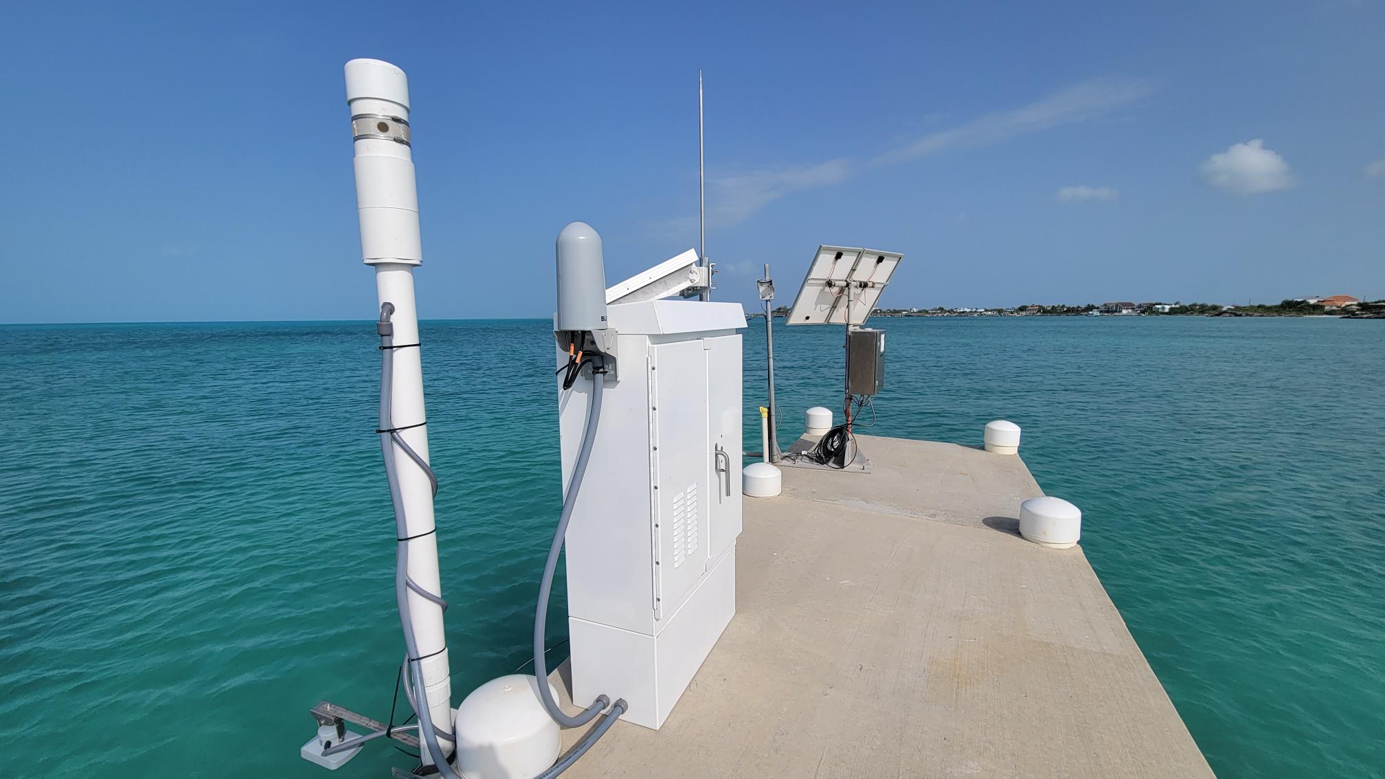
The UKHO is looking to contract a single supplier to provide tidal monitoring stations globally. This work will feed into a number of UK Government Programmes, through which the UKHO collects valuable data to assist in updating navigational charts and publications while supporting the management and protection of the marine environment. Through our hydrographic programmes so far, we’ve commissioned 29 surveys and mapped over 19,000km2 of seabed to support coastal states across the globe.
For more details on the tender and details on how to register your interest, please visit: https://www.delta-esourcing.com/tenders/UK-UK-Taunton:-Marine-equipment./4WT35AY27M Deadline for tenders is the 24th November.
Blue Ocean Marine Services validate AUV as an effective tool for PFW discharge monitoring
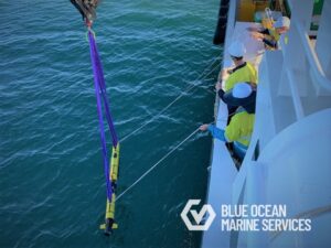
Blue Ocean Marine Services were recently contracted to conduct Produced Formation Water (PFW) discharge surveys in Western Australia using one of their L3HARRIS Iver-3 Autonomous Underwater Vehicles (AUV). The AUV was used to support the field monitoring team by providing additional high-resolution 3D water quality information in the discharge and mixing zones. The Iver-3 AUV, a low-logistics vehicle particularly suited to water quality surveys of this nature, was equipped with a Xylem YSI EXO1 Multiparameter Sonde, which is fitted with EXO conductivity & temperature (CT), turbidity, fluorescent dissolved organic matter (FDOM) and dissolved oxygen (DO) sensors.
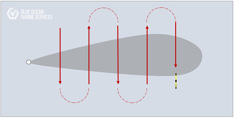
The AUV survey missions were planned to record data along equidistant transects perpendicular to the direction of the prevailing current and expected plume path. Surveys were completed over three days at two offshore facilities, and no detectable plume was recorded in the data, confirming the PFW discharges were released within accepted regulatory limits.
The AUV survey was safely and successfully conducted, and the AUV demonstrated:
– Low logistical effort in mobilisation and demobilisation
– Safe deployment and recovery from vessel
– Flexibility of the system to allow simultaneous operations to occur
– Adaptability and speed of mission planning
– Speed of data availability
For further information please get in touch here: [email protected] or visit www.blue-ocean.com.au
Unmanned Survey Solutions finalists in the ‘Heroes of Net Zero’ Competition
As the engineers at Unmanned Survey Solutions continue to reassess and develop their Unmanned Surface Vessel (USV) design, they are constantly reviewing their commitment to NetZero. From humble
beginnings, the vessel design has changed dramatically to focus on using better energy sources to become more energy efficient.
The newest vessel in the USS fleet has been installed with both solar panels and a smart power monitoring system. This system has been designed to maximise efficiency and only operate when the system calculates that it will run at maximum efficiency to charge the electric batteries onboard. Once the batteries are charged, the generator switches off and operations will continue in electric mode. For shorter survey distances the USV is operated in solely electric mode.
Survey operations have also improved, wherever safe and possible – surveys are now remotely operated from home, meaning reduced manpower going to site and reduced emissions through transport and distribution. Members of staff have started sharing lifts and cycling where possible.
This commitment to help reduce climate change has seen USS become finalists in the Heroes of Net Zero competition, created by The Department for Business Energy and Industrial Strategy (BEIS) as part of the UK Government’s ‘Together for our Planet’ campaign. The winner of the small business category with the most innovative actions to reduce their greenhouse gas emissions will be announced at an awards ceremony at the UN Climate Change Conference – COP26, on the 2nd of November in Glasgow. The best entries have been judged by a panel of experts including the government’s Net Zero Business Champion, Andrew Griffiths and will receive a lucrative prize package along with the opportunity to attend COP26.
James Williams, Director of USS said:
‘My daughter and ‘eco-warrior’ Fleur Williams (aged 10 years) inspired USS to go green and sign up to
the SME Climate Commitment. Fleur created the slogan below in her desire to help combat the Climate
Crisis. This has further encouraged our team who are now cycling to work, reducing the printing of
documents, creating less waste and all are recycling as much as possible. The Climate Crisis is real and
USS will do its best to reduce its impact on the environment and educate others to the cause.
iXblue launches new ROTV to enhance autonomous survey scope
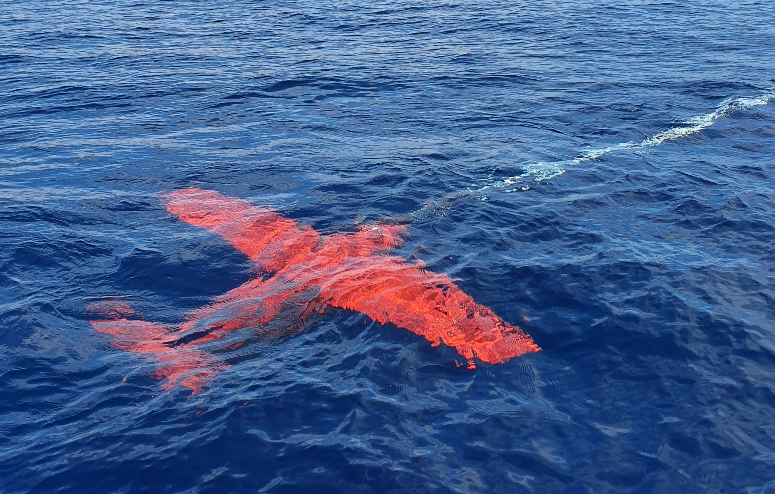
Southampton (U.K.) – 12/10/2021 – iXblue, a global leader in the field of maritime autonomy, announces the launch of its first Remotely Operated Towed Vehicle (ROTV): FlipiX. Designed to be operated autonomously from iXblue DriX Uncrewed Surface Vehicle (USV) or from a light vessel, FlipiX enhances autonomous survey capabilities and allows to conduct multi-sensor operations in a single run, ultimately offering unmatched operational efficiency.
Leveraging advanced motion control and a reduced operational footprint, FlipiX is a unique conveyance platform for Side Scan Sonars (SSS) and magnetometers. Operating at towing speeds up to 7 knots, the FlipiX ROTV altitude, pitch and roll are autonomously controlled to maintain measuring instruments at a fixed altitude and constant attitude. This active motion control bestows the ROTV with increased stability and maneuverability, even during U-turns, resulting in enhanced measurement quality in the most challenging maritime environments and in reduced survey time.
When combined with the DriX USV, FlipiX can operate down to 50 meters water depths in its standard version and provides optimal positioning of measurement instruments for a data acquisition as close to the seabed as needed.
“As a key actor of the maritime industry and a pioneer in the field of autonomy, iXblue has the ambition to support the industry in its transition towards autonomous operations, and FlipiX does just that.” Stéphane Vannuffelen, Marine Autonomy Technical Director at iXblue comments. “Leveraging our unique expertise in navigation, robotics and shipbuilding, and benefitting from our extensive return on experience deploying our DriX USV on major projects for energy companies and hydrographic institute worldwide, we are committed to offer operators with a more comprehensive ecosystem for autonomous surveying. We’re convinced that our FlipiX ROTV combined with our DriX USV will bring high efficiency and cost-effectiveness to the industry. It has already gathered a strong interest from major actors from the industry confirming the strong relevance of our new autonomous solution.”
Download Media Kit HERE
Media Contacts
Marion Seyve
Communication & Marketing Manager
+33 1 30 08 88 88
[email protected]
About iXblue
iXblue is a global high-tech company specializing in the design and manufacturing of advanced marine, autonomy and photonics technologies. Leveraging cutting-edge expertise in the fields of shipbuilding and robotics, iXblue designs autonomous maritime platforms that are increasingly efficient, economical and environmentally friendly. With complete control over its value chain thanks to the vertical integration of its technologies, iXblue also develops innovative systems and solutions for inertial navigation, subsea positioning and subsea imagery. As a leader in its field, iXblue actively participates in consortiums aiming to rethink the future of the maritime industry and to create an industry of excellence for maritime autonomy. www.ixblue.com
Kongsberg Maritime launches Blue Insight, a powerful digital toolbox for ocean data management and analysis
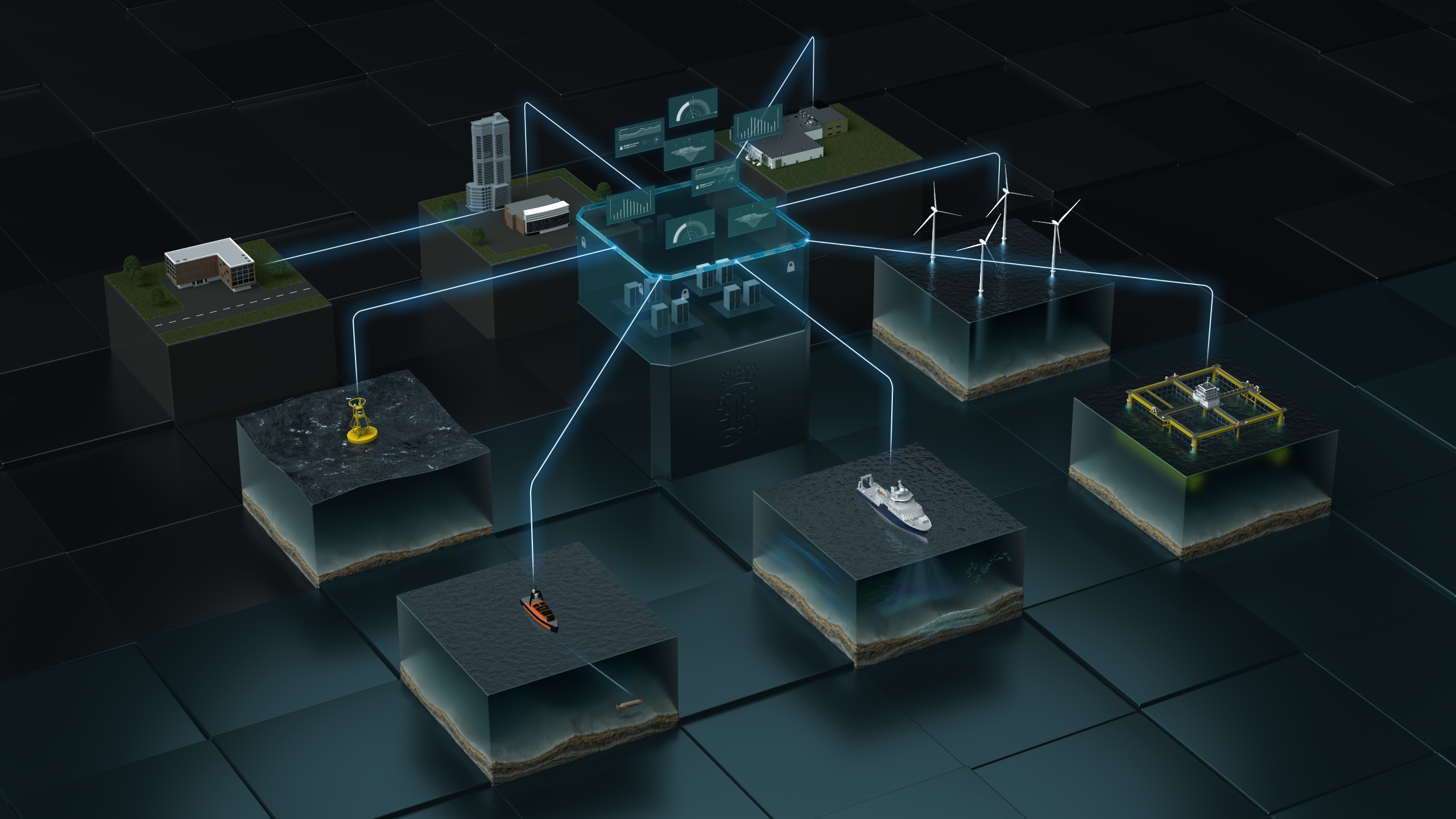
Kongsberg Maritime (KM) is delighted to announce the launch of Blue Insight, a powerful, cloud-based digital toolbox to enable state-of-the-art collection, visualisation, contextualisation, management and distribution of ocean data. Focusing on marine and meteorological information, the Blue Insight ecosystem is of key value to both scientific and industrial users of the maritime environment. Blue Insight provides an open, modular platform for the processing, visualisation and sharing of ocean data. The core module contains the cloud framework – which has been built to the highest cyber security standards – and an application-specific dashboard, teamed with data storage and management functionalities. Additional modules can be added to this framework to tailor Blue Insight’s functionality to suit all projects, however large or small.
Key to Blue Insight’s data-streaming functionality is the concept of sensor fusion, by which data is streamlined from various onboard sensors and a local database for seamless transmission into the cloud. In addition, the module serves as a link with KM onboard sensors for remote operation. Data can be collected from any platform, ranging from crewed to autonomous surface vessels or even underwater vehicles such as AUVs or gliders. Through ongoing delivery projects, several modules already exist to assist customers in obtaining the best results from Blue Insight, including Remote, a module that enables remote access to a KM.
Press Release
WORLD CLASS - through people, technology and dedication echosounder via a web interface; Ocean View, a powerful and comprehensive web-based visualisation tool for historic and real-time sensor or database data; and Data Forwarder, enabling data conversion into any common format and automated data forwarding to external cloud systems or databases. Science Analytics supplies an infrastructure for more in-depth data-handling capabilities, such as the implementation of machine learning and AI-enhanced data analysis on board or in the cloud. As an example, one of the first delivery projects has seen the module providing a framework on unmanned surface vehicles for the automated onboard classification of fish. The portfolio of modules and support for specific instruments will be continuously expanded, consistent with KM’s aim to provide customers with unprecedently swift access to data, even in heterogenous environments.
One of the first projects to take advantage of the functionality provided by Blue Insight is a collaboration between KM and Akvaplan-niva, gathering meteorological, oceanographic, biological and chemical data from unmanned autonomous glider vehicles. The project has been under way for several years, but recent funding from the oil & gas company ConocoPhillips Norway has focused efforts towards understanding the impact of offshore oil & gas facilities on selected marine species in the North Sea.
The project is continuing to evolve the glider concept into an operational system for research and industry while advancing the digital environment to introduce new, cutting edge management and analysis features. "Blue Insight has been an invaluable aid for managing the vast amount of data we collect at sea with our fleet of gliders, often for months at a time,” says Lionel Camus, Manager for Digital Solutions at Akvaplan-niva.
“This innovative digital toolbox has enabled Akvaplan-niva to deliver professional solutions and to share an unprecedented common experience via the cloud with our customers during each survey." “We’re very excited to be able to bring Blue Insight to market,” adds Tonny Algrøy, Sales Director Ocean Science, Kongsberg Maritime. “Our primary focus in developing this powerful, cloud-based framework for data collection, sharing and analysis has been to increase our knowledge of the ocean environment and act as a digital enabler for sustainability. It’s great to see that vision now becoming a reality. Collaborations such as the glider project with Akvaplan-niva and ConocoPhillips demonstrate how research institutions and industry can work together to benefit from contextualised data, furthering the joint aims of conservation bodies and global business operations.”
Valeport launches new marine sensing and monitoring instruments at Ocean Business
- new Bathy2 – an enhanced, robust integrated instrument to provide reliable and accurate density corrected depth data up to 6000m
- new miniIPS2 and uvSVX – with unique interchangeable pressure heads, these next-gen sensors benefit users who work at different depths
- new SWiFT CTD and SWiFT CTDplus – designed for a seamless workflow, these user-friendly profilers deliver improved accuracy and versatility to those requiring CTD measurements
Ocean Business 21 was the launch venue for Valeport’s new Bathy2, an exciting evolution in the collection of bathymetric data, which will be shown for the first time ahead of its formal release in Q1/Q2 2022. Also making their debut on the manufacturer of environmental sensors stand, are four innovative instruments designed with ease of use at their core, where a much improved user experience is now available alongside the highest quality, precise data.
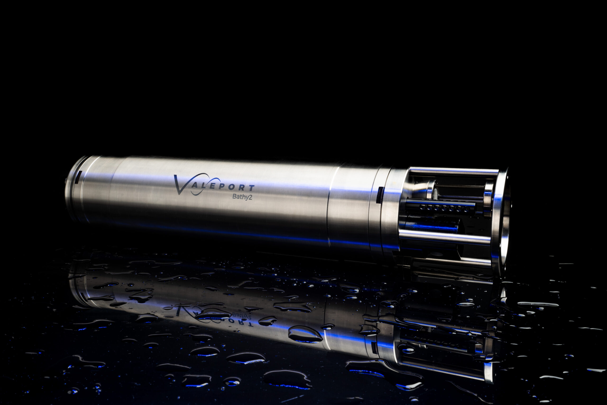
Bathy2 – on show for the first time ever, this new integrated sensor suite is designed to meet customer bathymetric requirements for a reliable, accurate and robust instrument with more functionality to suit specific operations up to 6000m in depth.
An enhancement of the popular Midas BathyPack, the new Bathy2 uses state-of-the art sensors to generate Sound Velocity and Density profiles for precision depth and height data.
 This evolution brings together the benefits of density corrected output directly from one instrument, alongside the flexibility of third party pressure sensor input and Valeport interchangeable pressure modules to allow users enhanced accuracy at different depths.
Improving the user experience has been a key driver in the development of this superior bathymetric instrument and the addition of a dedicated data output for INS allows bathymetric data to be efficiently communicated directly with users’ own operational software. Other helpful benefits include the flexible pressure options using Valeport’s interchangeable pressure sensors, these field-swappable sensor heads make it easy for users to select the correct pressure for their working depth bringing benefits of exceptional reliability and a higher degree of accuracy.
Designed for surveyors requiring bathymetric data from ROVs, underwater vehicles or drop structures, Bathy2 also has an external pressure sensor input option for Digiquartz referencing. This comprehensive bathymetric package offers other useful parameters such as Altitude and Bathy2 interfaces with the Valeport VA500 altimeter and other popular third party makes.
Data transfer is via Ethernet or RS232/RS485 interfaces and the Bathy2 Interpreter function via the Valeport Configure software allows data out on extra ports in industry standard formats, this facility also allows for an atmospheric pressure data input.
miniIPS2 - The smart miniIPS2 underwater pressure sensor with accuracy to 0.01%, offers a cost-effective solution to vehicle pilots who require highly accurate depth information in real time.
This innovative pressure sensor, with a unique interchangeable pressure module, allows the user to quickly and easily change the pressure transducers whilst in the field, with no tools required, to maximise operational specific depth requirements.

uvSVX - The compact uvSVX is designed for underwater vehicles where space is at a premium and it delivers calculated salinity and density data, along with SVP as standard. Like the miniIPS2 it also features field-swappable sensor heads, has a depth rating of 6000m and delivers 0.01% accuracy. The interchangeable pressure transducer, with integral calibration is easily changed in a couple of minutes without opening the instrument and is available in 10, 20, 30, 50, 100, 200, 300, 400 and 600bar variants.
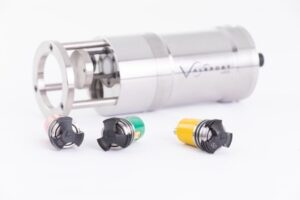
SWiFT CTD and SWiFT CTDplus – the latest addition to Valeport’s popular SWiFT profiler family, the SWiFT CTD profiler provides enhanced accuracy and versatility for those requiring CTD measurements. The SWiFT CTD profiler delivers survey-grade sensor technology coupled with the convenience of Bluetooth® wireless technology, rechargeable battery and an integral GPS module to geo-locate each profile.
2/3
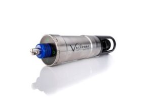
Using Valeport’s high accuracy sensor technology to combine sensors for multiple profiles in a single drop, the SWiFT CTD features a new fast response temperature probe and operates down to 500m as standard. With an operational battery life of up to five days and the convenience of charge via USB, the SWiFT CTD is intended for offshore, coastal, harbour and inland environmental and hydrographic survey use.
A CTDplus version is currently available with Turbidity at present and combines CTD measurements and Turbidity observations, in addition to providing computed Salinity, Density and Sound Velocity.
Guy Frankland, Valeport Head of Marketing commented: “Ocean Business is a great platform to introduce our newest developments and product upgrades prior to their general release. We’re particularly looking forward to seeking feedback on our Bathy2 instrument and its capacity to offer an increased survey grade performance, as well as getting Valeport’s unique range of interchangeable pressure sensors into the hands of potential users so they can get a real sense of the streamlining benefits they bring.”
Contact: Valeport www.valeport.co.uk Email: [email protected]

Exciting opportunity for a Senior Metocean Engineer - Partrac

We are known for delivering high quality and safe metocean monitoring campaigns to the growing renewable industries across Europe.
What you will be doing:
- Take a lead role in improvement of QHSE systems, survey operations and the technical capabilities of the metocean team.
- Leading project mobilisations and servicing of seabed systems, metocean buoys and fixed systems.
- Leading metocean engineers on site to deliver safe and successful site operations.
- Leading project operational documentation in line with legislation, industry best practice and client requirements.
- Excelling in communication with clients and subcontractors.
What you will have:
- Minimum 5 years’ in a marine technical or engineering role.
- A working knowledge of MS Office and sensor programming.
- A high level of professionalism
- Willingness to travel, predominantly UK and Europe.
- Fluent technical English
- Full driving licence
What you will bring:
- Demonstrable experience in the practical delivery of deployment/installation of instrumentation in coastal and offshore environments.
- Experience working from various platforms such as workboats/ /anchor handling vessels/offshore installations etc.
- Leadership in industry QHSE requirements
- Systematic and methodical approach with fine attention to detail.
- Ability to work to strict deadlines in a fast-paced environment.
What you’ll get:
Balance is important at Partrac. The metocean department is based in Devon, in the heart of the southwest, within striking distance of Dartmoor and amazing beaches. As well as new challenges, Partrac is a supportive workplace with opportunities for progression, we offer:
- Working in a market leading team with a high level of recognition
- A resilient company that is expanding in growth markets
- Competitive salary + benefits
- A friendly, supportive team
- Project allowances
- Training
To apply
Email your CV and a covering letter to [email protected] Ref: SENMETOSW
Metocean Engineer, Oceanographer, Project Manager & Tender Coordinator - Partrac
If you are an experienced oceanographer, metocean engineer or marine project manager or tender coordinator, with a passion for the marine environment and renewable energy, we want to hear from you. We are growing and need more specialists to join our team, in order to help our clients, plan and execute successful measurements projects offshore.
You will find yourself in a culture that champions continual improvement, openness, and teamwork. If you are on the lookout for new, better ways to do things and want to be supported by a talented team of peers, you will fit right in here.
Current vacancies are:
- Project Manager
- Senior Metocean Engineer / Party Chief
- Metocean Engineer / Oceanographic Technician
- Tender & Marketing Coordinator
What you’ll get:
Working at Partrac means you are trusted to use your initiative. We will give you the freedom to follow your ideas and to make an impact.
Our company is growing quickly, so there are plenty of opportunities for progression. As we are a market-leading team and well respected in our industry, working with us will be an excellent career move.
Some of the benefits our team love include: –
- Working in a market leading team with a high level of industry recognition
- Interesting and varied projects that make a difference.
- A resilient, dynamic working environment.
- A friendly, supportive team.
- Generous holiday allowances.
- Flexible working options.
- Competitive salary and benefits.
Balance is important at Partrac. The SW metocean department is based in Devon, in the heart of the southwest, within striking distance of Dartmoor and amazing surf beaches.
To apply:
Please visit https://www.partrac.com/careers for further information.
– Closing Date 1st November 2021
Sercel launches new Bluepulse acoustic marine source for seismic acquisition in sensitive areas
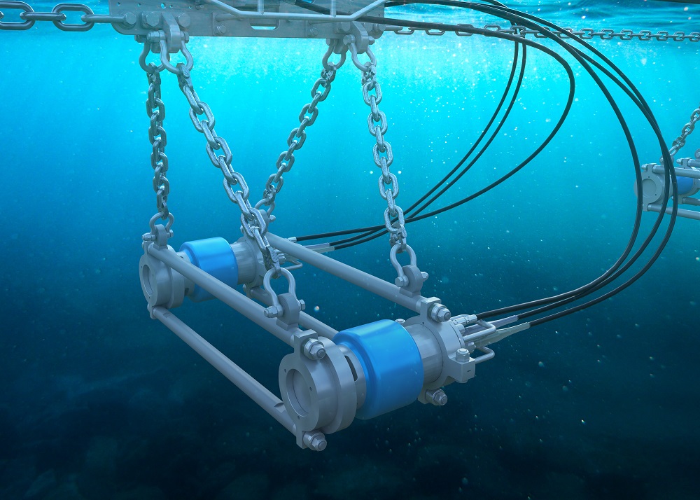
Sercel's new marine acoustic source for seismic acquisition in sensitive areas (image courtesy of Sercel).
Sercel announced today the launch of Bluepulse, an innovative marine acoustic source offering the most advanced frequency control technology on the market. Bluepulse is a purpose-built acoustic source designed to help protect marine wildlife from high-frequency emissions, while maintaining highly accurate and reliable results for seismic acquisition.
Bluepulse is compatible with all existing peripherals making it an easy choice for surveys requiring limited high frequency source emissions. Through intelligent engineering and design, existing G-Source and G-Source II units can be easily upgraded with Bluepulse technology, saving customers up to 40% on the cost of fleet conversions. The new units offer available range options in three different casings, twenty-two different volumes and with two frequency limits (100Hz and 200Hz) to comply with regulatory environmental standards and restrictions. The source array can thus be configured and customized to meet exacting survey requirements.
Emmanuelle Dubu, Sercel CEO, said: “Bluepulse is a perfect example of our continued commitment to providing high-quality data combined with the highest level of environmental responsibility. The ability to upgrade existing units and the wide variety of options also offers the highest flexibility for marine surveys all over the world.”