
Teledyne Marine launches annual photo and data contest
Teledyne Marine, a global leader in underwater technology, is thrilled to announce the launch of its highly anticipated annual photo and data contest, which invites participants worldwide to capture the breathtaking beauty of the underwater realm through their lenses. Teledyne Marine has a rich history of providing innovative solutions for offshore, academic, and defense applications. The contest is open to Teledyne Marine equipment users, allowing them to showcase their talent and passion for marine and subsea technology.
The Teledyne Marine Annual Photo and Data Contest is set to kick off on July 3rd, 2023, and will run until October 1st, 2023. This contest aims to showcase the remarkable diversity and wonder of the oceanic environment while highlighting Teledyne Marine's cutting-edge products that have revolutionized marine exploration. As part of the contest, Teledyne Marine encourages participants to submit their best images featuring Teledyne products, including, but not limited to, the SeaBat Sonar, BlueView Sonar, RDI ADCPs, Gavia AUV, and Slocum gliders. These cutting-edge technologies have been instrumental in pushing the boundaries of marine research, science, and exploration.
Participants must submit their captivating images via the official Teledyne Marine Photo and Data Contest Page.
How to Enter:
Step 1 – Visit the contest page for contest rules, upload your image, and include supporting details.
Step 2 – Share the photo / data on your social media channels and encourage friends, family, and industry associates to vote for your submission. Tag @teledynemarine on Facebook and Twitter. Teledyne Marine will share them as well. The contest is open to Teledyne Marine equipment users; each participant may submit up to three images.
"We are excited to launch the Teledyne Marine Annual Photo and Data Contest and celebrate the wonders of the underwater world," said Helle Auken Lygum, Marcom Manager, Teledyne Marine. "We believe that through the lens of talented photographers and skilled users, we can unveil the beauty and importance of our marine environment while showcasing the technological advancements we have made in underwater exploration."
Teledyne Marine is renowned for its commitment to advancing ocean science and exploration, and this photo and data contest represents an opportunity for individuals worldwide to contribute to this important endeavor. By sharing their images, participants can inspire a global audience and raise awareness about the crucial need for understanding and protecting our oceans.


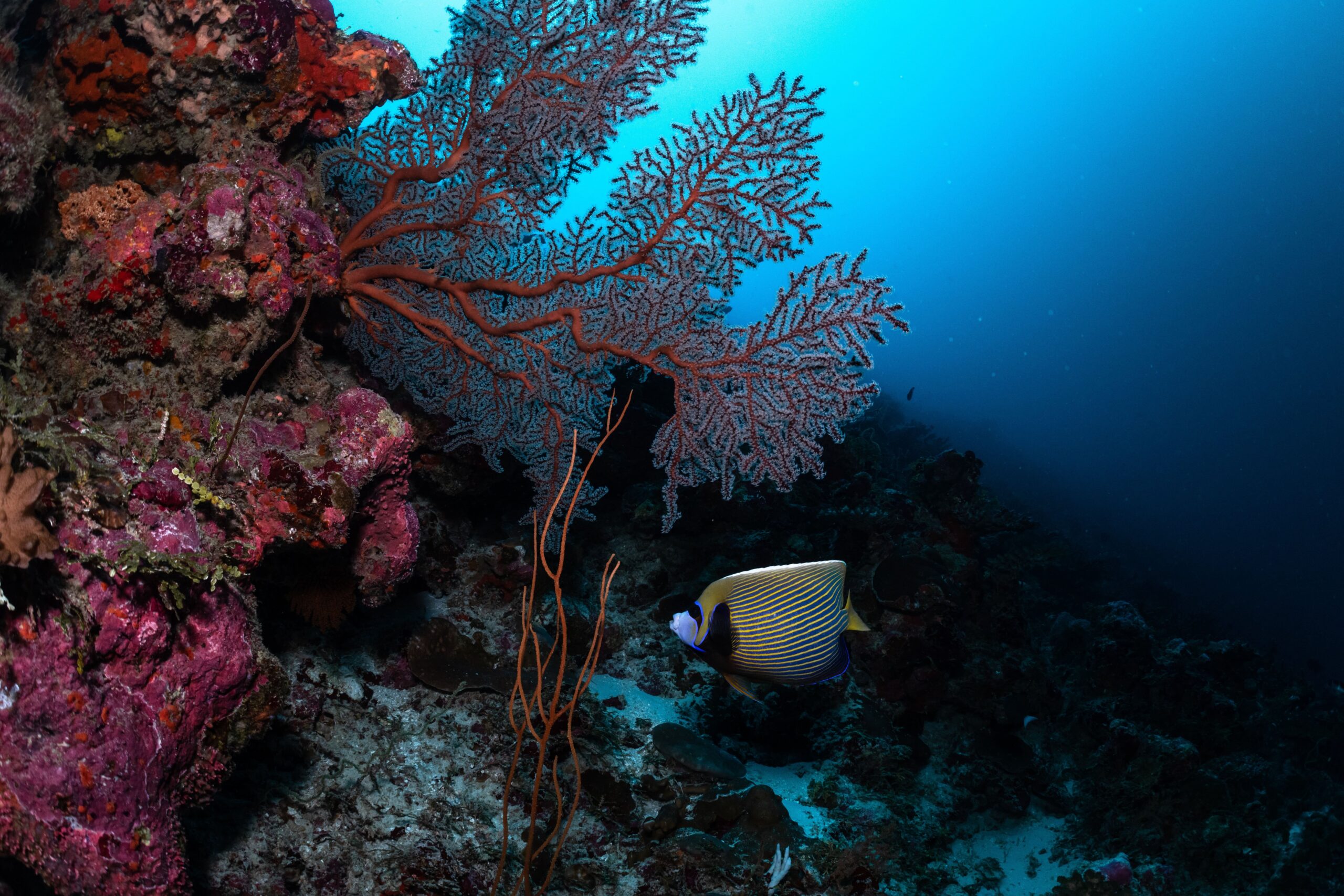
Seabed 2030 and Ocean Census announce partnership uniting efforts to map the seabed and discover ocean life
A new partnership has been announced between The Nippon Foundation-GEBCO 'Seabed 2030' Project and The Nippon Foundation-Nekton ‘Ocean Census’ - the largest programme in history dedicated to species discovery in the ocean.
With the shared goal of unravelling the mysteries of the deep and enabling sustainable management practices, the partnership between Seabed 2030 and Ocean Census will greatly strengthen the future of ocean science and marine conservation.
Both programmes have been initiated and supported by The Nippon Foundation, Japan’s leading philanthropic organisation which works to solve global issues through social innovation.
“The partnership between Ocean Census and Seabed 2030 marks a pivotal moment in ocean scientific exploration and marine conservation. By integrating seafloor mapping data with a deeper understanding of where and what lives in our ocean, we can gain a holistic understanding of ocean ecosystems, their role in oxygen production, climate regulation and food security. In combination, we will be able to identify areas of high conservation priority so we can develop effective strategies to safeguard ocean life - the life that makes all life on Earth possible,” explained Yohei Sasakawa, Chairman of The Nippon Foundation.
The Nippon Foundation and Nekton launched Ocean Census in April this year, with the aim of revolutionising our understanding of marine life. Scientists maintain that we have discovered slightly more than 10 per cent of the species that live in the ocean, despite it being home to an estimated 2.2 million species. The rate of discovery has remained relatively unchanged since the 1800s, with approximately only 2,000 new ocean species described per year.
However recent technological advances in high resolution imaging, DNA sequencing, and machine learning mean that scientists can now considerably accelerate the process, and Ocean Census has set itself the ambitious target of discovering 100,000 new species over the next decade.
This will be achieved through expeditions to the ocean’s biodiversity hotspots, with species discovered on expeditions sent for imaging and DNA sequencing at Ocean Census Biodiversity Centres. Ocean Census is being undertaken by a coalition of partners uniting the resources and expertise of science, media and civil society with government, philanthropy and business.
Seabed 2030 is a collaborative project between The Nippon Foundation and GEBCO to inspire the complete mapping of the world’s ocean by 2030 and to compile all bathymetric data into the freely available GEBCO Ocean Map – it is also a formally endorsed Decade Action of the UN Ocean Decade. GEBCO is a joint programme of the International Hydrographic Organization (IHO) and the Intergovernmental Oceanographic Commission (IOC), and is the only organisation with a mandate to map the entire ocean floor.
“Seabed 2030 has been at the forefront of spearheading the global effort behind mapping the world’s ocean floor for over half a decade now,” commented Oliver Steeds OBE, Director of Ocean Census.
“Coordinating the efforts of Ocean Census and Seabed 2030 will serve to accelerate our scientific understanding of the ocean, and help us to safeguard ocean life for future generations” continued Steeds.
Seabed 2030 Project Director Jamie McMichael-Phillips said: “This partnership will leverage the respective strengths of both parties in pursuit of a unifying and essential goal – to better understand the planet and ensure its sustainable management.
“Ocean Census’ mission seamlessly aligns with Seabed 2030’s goal. Together, we can help fill in the critical gaps in our knowledge and ensure policymakers and stakeholders are able to make evidence-based decisions that protect and safeguard the ocean for generations to come.”
This partnership is a testament to the collective commitment of Seabed 2030 and Ocean Census to unite and inspire global efforts in mapping and preserving the world’s ocean. All data collected and shared with the Seabed 2030 project is included in the free and publicly available GEBCO global grid.
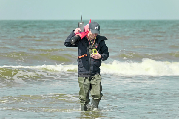
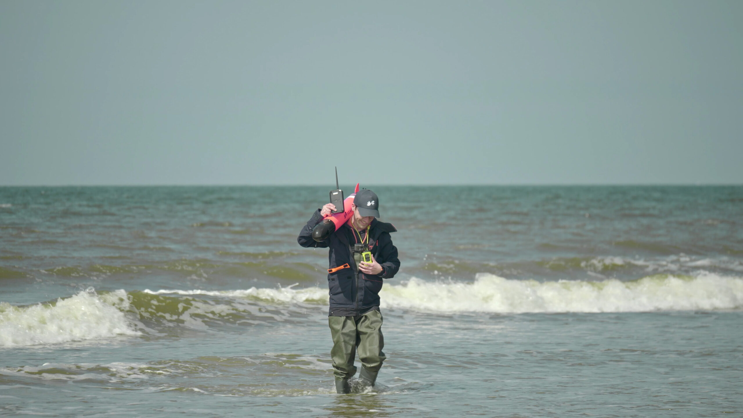
First underwater drone crossing of the English Channel
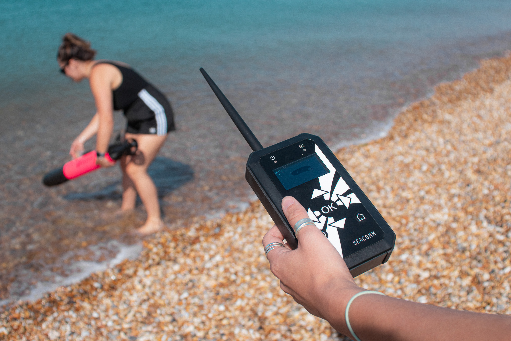
On the 29th of April 2023, the YUCO became the first micro–Autonomous Underwater Vehicle (AUV) to successfully cross the English Channel from Folkestone, England, to Wissant, France. The pioneering crossing, a partnership between RS Aqua and SEABER, took less than 8 hours.
This small but mighty AUV measuring just under one metre in length, weighing 10 kg, is the first of its kind to have battled its way through the highly variable weather conditions and strong currents in the Channel – also considered to be one of the busiest shipping lanes in the world. To maintain accurate navigation and keep the mission on track, the YUCO resurfaced a total of three times during the crossing to re-establish its location using GPS.
“Prior to the introduction of micro-AUVs, collecting scientific data in coastal environments always had challenges - be it spatial coverage, funding, time, weather, or types of data that could be collected” explains Nathan Hunt, Ocean Scientist at RS Aqua. “With the introductions of micro-AUV platforms like YUCO, data collection has become vastly more attainable and accessible to a wide range of users, from large energy corporations to smaller research institutes. The YUCO Channel crossing has further highlighted the reliability and endurance of the platform, helping bridge the gap between large-scale metocean monitoring, and small-scale coastal research.”.
The aim of this mission was to demonstrate the reliability and endurance of the YUCO on the 39km underwater route from England to France. The navigation and battery capacity of the YUCO were both put to the test. The success of the channel crossing is a huge testament to the YUCO’s impressive capabilities – the YUCO stayed on course and completed its mission with 35% battery power remaining.
Micro-AUV's are becoming more popular as they are more portable, easy-to-use, and affordable for consumers compared to more traditional AUV technologies.
“The YUCO micro-AUV Channel crossing is a world first. At RS Aqua we are committed to enabling the further discovery of our oceans, and the whole team are extremely excited and proud to have made this happen in partnership with SEABER.” added Martin Stemp, Managing Director at RS Aqua.
CMS Geoscience: Playing our part in protecting and restoring our seagrass meadows
Blue Meadows is a project dedicated to protecting and restoring the vital seagrasses which grow in our seas. Seagrass meadows are a haven for biodiversity, defend our shorelines by anchoring sediments and absorb and store vast amounts of carbon.
CMS Geoscience are committed to supporting the important work being carried out by the Ocean Conservation Trust, to explore the seagrass meadows and discover how much carbon is being stored.
It has been carrying out seabed sampling projects around the South Coast to provide the vital samples needed for the Trust’s scientific partners to analyse and try to work out how much carbon is stored, how quickly, and where it is most prolific.
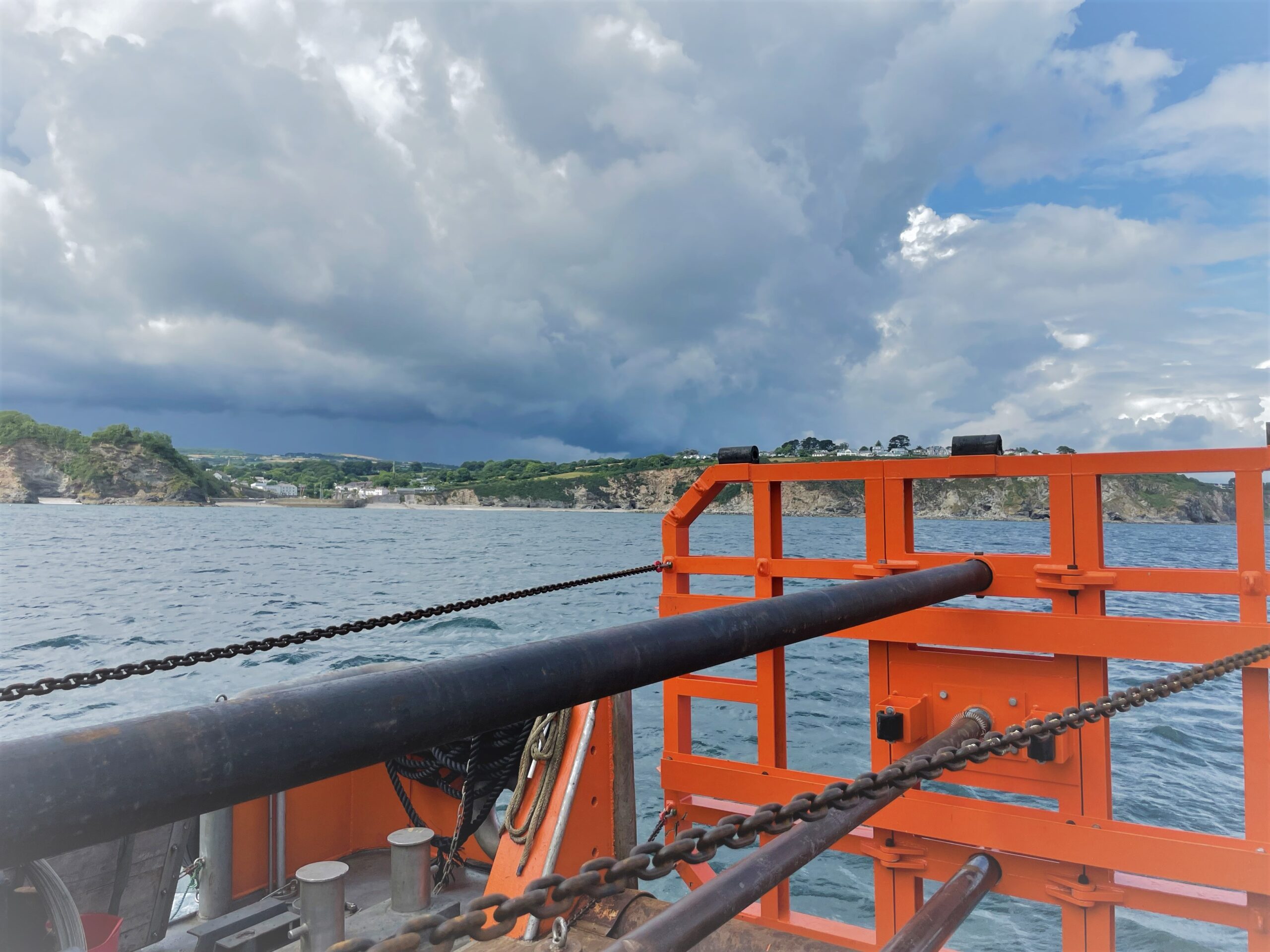
The CMS team were working in Mounts Bay, Penzance and St Austell Bay on two sites of interest, collecting 3m cores samples which will now be sent to specialist labs at Exeter and Plymouth Universities for detailed analysis to measure carbon content, seabed composition and a whole host of other useful data for this project. The results will contribute to the Cornwall County Council led Blue Natural Capital project, funded by Defra and EAs Natural Environment Investment Readiness Fund (NEIRF).
The team mobilised early Monday morning in Penzance Harbour and collected nine core samples from the Mount Bay seagrass meadows, before the vessel departed and steamed to Fowey. The team drove down to rejoin the vessel the following day and collected another nine samples in the St Austell meadows, which are one of the largest and most interesting in this region. The samples were unloaded at the end of each day and carried on their journey to the labs for analysis. Having successfully completed the site investigations for Blue Meadows, the vessel and CMS team then headed off to Dartmouth to start another scope of work.
It was a very mobile, fast moving and demanding week for team of geologists and operators, requiring them to be flexible and able to adapt to constantly changing environments. They delivered the results clients were hoping for and CMS are very proud of the high level of professionalism shown throughout the week by the whole team.
CMS Geoscience will continue to provide support and resources to the Blue Meadows initiative in the coming years and are proud to be playing a vital part in this important project, helping to protect and revitalise this precious resource hidden in plain sight beneath the water.
You can find out more about the project and how you can play a part by visiting the Ocean Conservation Trusts, Blue Meadows website, or visiting the National Marine Aquarium in Plymouth where you can see the seagrass plants being nurtured.
Greensea demonstrates successful UXO survey to locate buried munitions
Greensea Systems, Inc. (Greensea), a leading provider of advanced robotics solutions, is pleased to announce the successful demonstration of a mission to locate buried munitions in the surf zone.
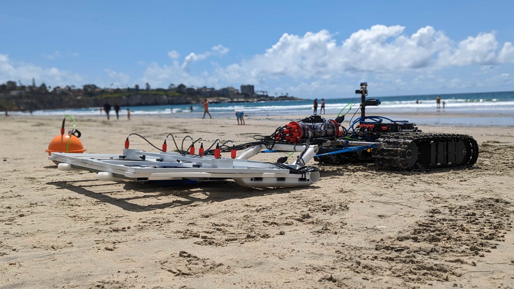
This UXO survey demonstrated the power and flexibility of OPENSEA to rapidly integrate and deploy a new sensor suite for the task while showcasing the capabilities of the Bayonet 250 AUGV, which was selected as a finalist in The Defense Innovation Unit's (DIU) Autonomous Amphibious Response Vehicle (A2RV) program's rapid prototyping phase. Out of 67 proposals, the Bayonet 250 crawler prototype, developed in partnership with Greensea, was chosen for its exceptional performance and potential to detect, identify, and neutralise naval mines and other explosive hazards in the challenging surf and beach landing zones.
Operating over 8 days and covering 18 square kilometers in depths of up to 10 feet, amidst wave heights of 4-6 feet in the challenging surf zone, the Bayonet 250 provided a stable and reliable platform for conducting the survey that included a towed sled equipped with White River Technology's (WRT) marine APEX technology, seamlessly integrated into Greensea’s software platform, OPENSEA.
The rapid integration of the sensor sled facilitated the detection and classification of objects, with a buried depth of up to 3 meters based on material composition.
"We are very excited about the recent success of crawler-based 3DEM sensing for advanced geophysical classification of munitions in the most challenging environments like surf zones”, says Greg Schultz, Chief Technology Officer for WRT. “The combination of autonomous amphibious crawlers, like the Bayonet units, and the WRT APEX dynamic electromagnetic classification arrays, appear ready to go where divers and towed systems have not been able to in the past".
David Pearson, Program Manager at Greensea, expressed his satisfaction with the successful mission demonstration, stating: "The success of this program and our ability to operate effectively in the challenging surf zone environment is a testament to the strength of our team and our commitment to innovation. By quickly integrating a new sensor for buried UXO and munitions, mobilising an operations team, and collecting data in demanding conditions, we have demonstrated our capability to locate and address explosive hazards in one of the most dynamic and challenging operational environments. This achievement showcases Bayonet, Greensea, and our partner's expertise to make the impossible possible. Positioning us as the trusted partner in providing solutions for maritime and underwater operations from the beach to the deep."
Throughout the mission, the Bayonet 250 successfully identified buried targets based on burial depth and signal signature, highlighting its ability to detect and identify explosive hazards in both the surf and on beach landing zones. The collaboration between Greensea, Bayonet, and White River Technology, resulted in an exceptional demonstration that further solidified their position as industry leaders in marine and underwater operations.
The Society of Maritime Industries joins Seabed 2030
A new partnership has been announced between The Nippon Foundation-GEBCO Seabed 2030 Project and the Society of Maritime Industries (SMI), a leading trade association representing the UK's maritime engineering and business sectors.
The parties will work together to advance the field of ocean science, in pursuit of the complete map of the world’s ocean floor.
Seabed 2030 is a collaborative project between The Nippon Foundation and the General Bathymetric Chart of the Oceans (GEBCO), which seeks to inspire the complete mapping of the world’s ocean by 2030, and to compile all the data into the freely available GEBCO Ocean Map. The Project is formally endorsed as a Decade Action of the UN Ocean Decade. GEBCO is a joint programme of the International Hydrographic Organization (IHO) and the Intergovernmental Oceanographic Commission (IOC), and is the only organisation with a mandate to map the entire ocean floor.
Representing over 170 member organisations involved in various sectors of the maritime industry, SMI has been instrumental in driving developments and innovation within the maritime sector - it is also a trusted advisor to the UK government and actively seeks out ways in which the industry can progress as a whole.
SMI’s approach is entirely member-focused, with members’ interests represented by six councils centering on marine science and technology; commercial marine; maritime autonomous systems; digital technology; ports infrastructure; and maritime defence and security.
“We are delighted to welcome the Society of Maritime Industries to our network of partners,” commented Seabed 2030 Project Director Jamie McMichael-Phillips. “SMI is able to contribute a wealth of industry knowledge and resources which will help us edge closer to our goal of 100 per cent of the ocean floor mapped by the end of the decade.”
Chief Executive of SMI Tom Chant MBE said: “By collaborating with Seabed 2030, we aim to help facilitate knowledge sharing, foster innovation and drive sustainable growth within the maritime industry.
“The comprehensive mapping of the ocean floor is essential to unlocking new opportunities across various sectors and, crucially, for environmental conservation.”
All data collected and shared with the Seabed 2030 project is included in the free and publicly available GEBCO global grid.
Fugro to use new technology in site investigation for French DGEC and RTE Sud-Atlantique wind farms
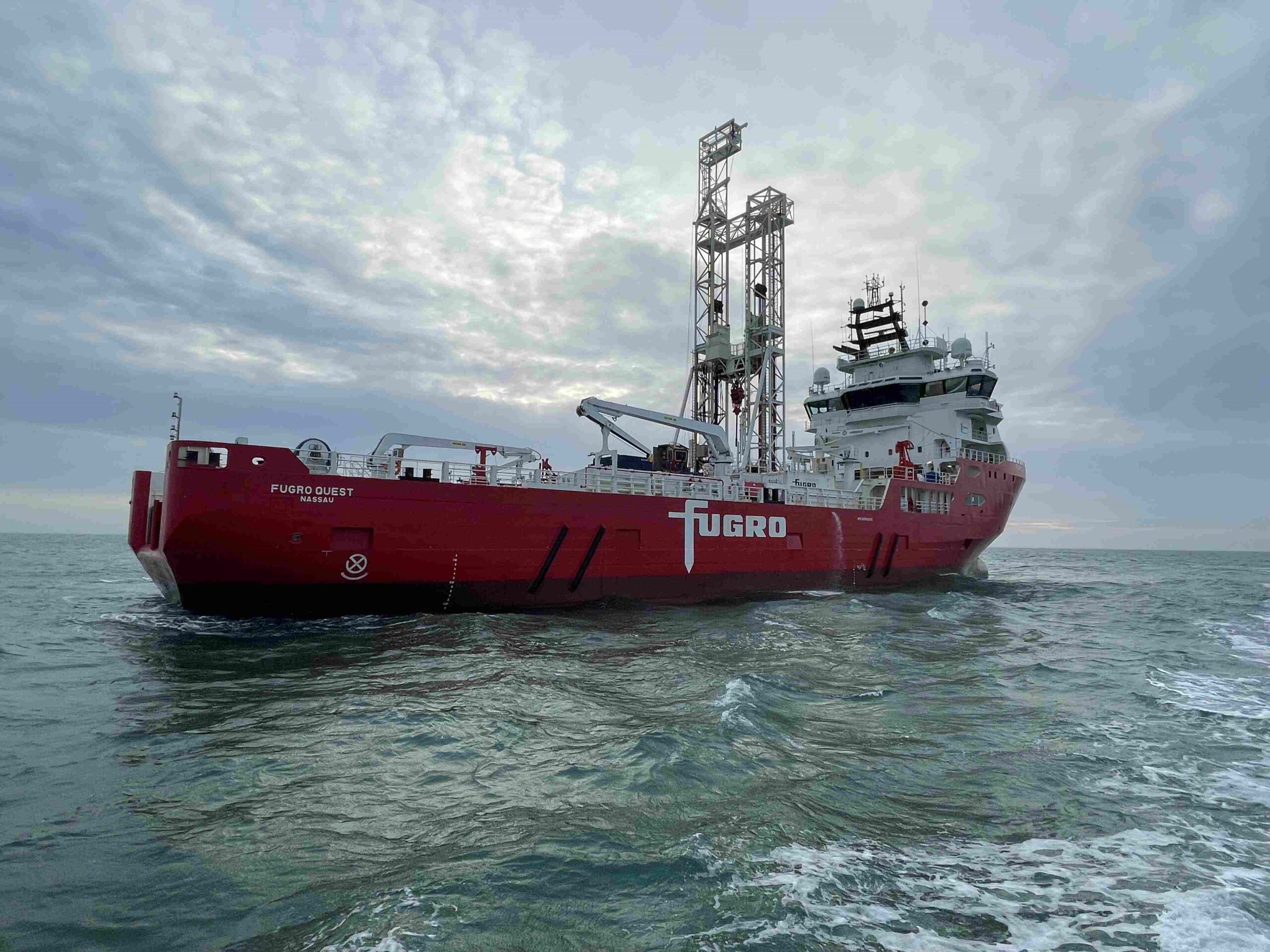
The Directorate General of Energy and Climate (DGEC) from the French Ministry of Energy Transition and RTE (Réseau de Transport d’Electricité) have awarded Fugro a ground investigation campaign to support the development of future wind farms in the Sud-Atlantique zone of the Bay of Biscay. The Geo-data acquired during the investigation will be used by pre-selected developers for their preliminary engineering design studies and future tenders.
In July, Fugro will mobilise its newest vessel, the Fugro Quest, to acquire high-quality geotechnical data across a 430 km2 area. In a region known for its challenging offshore conditions, the 86-metre vessel is well equipped to complete the survey in extreme weather and deep waters.
Fugro will also use advanced technology, such as WISON® Mk V Ecodrive, SEACALF® Mk V Deep Drive® and dedicated coring systems, to collect soil samples. Insights into the composition of the soil will be used to create a comprehensive ground model that will determine the ideal location and design of offshore developments, such as wind farms and offshore substations.
Denys Borel, Fugro's Commercial Manager France said: "We are committed to supporting the growth of marine renewable energy in France, and this project perfectly aligns with our strategic vision. By actively supporting the early stages of project development, we aim to empower future developers to use the geotechnical findings effectively, optimising the design of turbine and substation foundations."
The Sud-Atlantique zone is set to include a 1 GW project situated 40 km offshore Oleron island, followed by an adjacent 1 GW project. Once completed, these two wind farms will generate enough electricity to meet the needs of approximately 1.6 million people.
Unique Group delivers bespoke Nitrox commercial diving system to OSC Marine
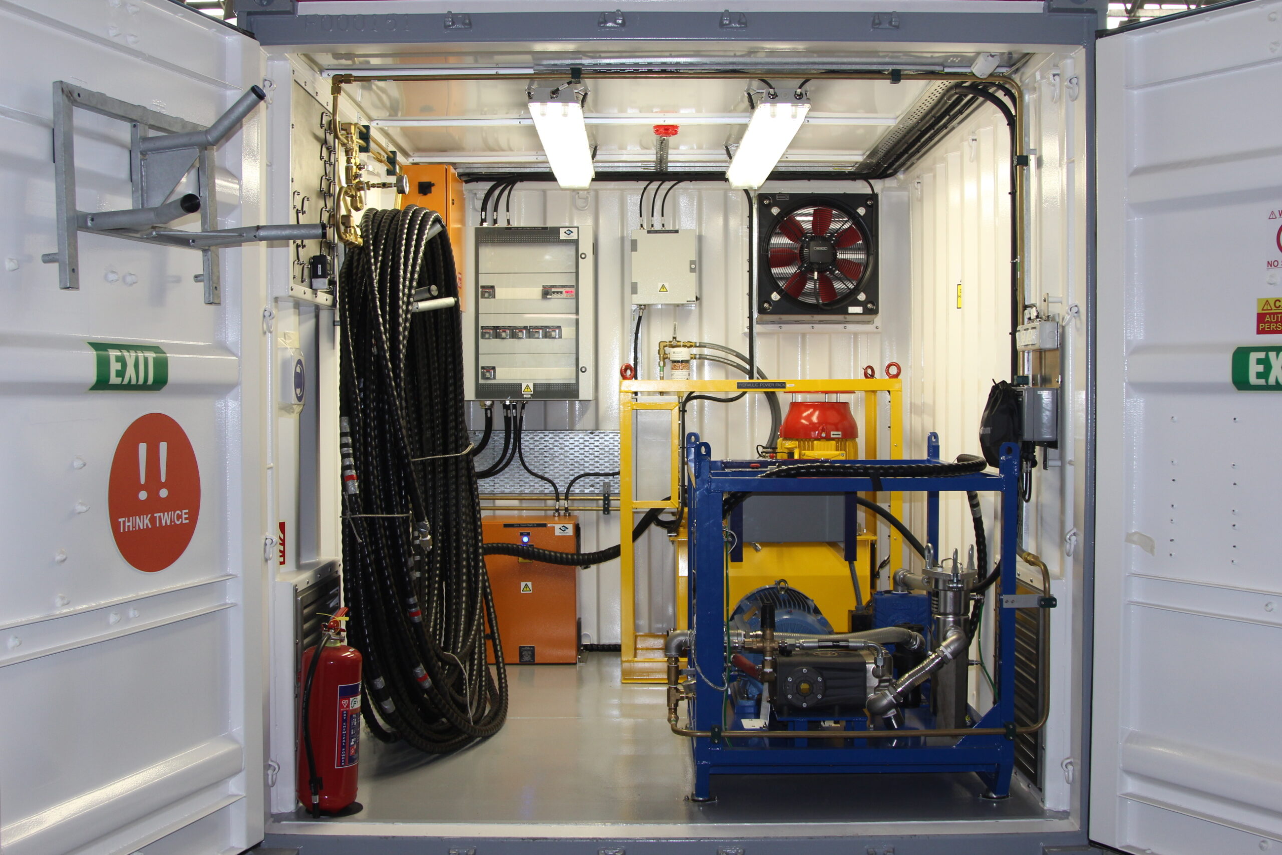
Unique Group, global innovators in subsea technologies and engineering, proudly announces the successful delivery of a cutting-edge, fully bespoke Nitrox commercial diving system to OSC Marine. The exceptional system was custom designed in collaboration with OSC Marine, meeting the stringent requirements for offshore operations on a Floating Production, Storage, and Offloading (FPSO) platform.
By working closely with OSC Marine, Unique Group developed a tailored Nitrox commercial diving system that surpasses industry standards. The system's ABS design, manufacturing, and testing witness provide unparalleled quality assurance, ensuring robustness and reliability in demanding offshore environments. Furthermore, compliance with the latest IMCA guidelines demonstrates Unique Group's commitment to adhering to the highest safety protocols.
Leveraging the highest level of technology and components, including the renowned NUVAIR Voyager IV nitrox generator, this bespoke system is engineered to prioritise safe operations. The inclusion of the NUVAIR Voyager IV nitrox generator further exemplifies the advanced technological capabilities of the delivered system. This state-of-the-art equipment enhances operational efficiency and ensures the safety of divers, enabling OSC Marine to achieve superior outcomes in their offshore endeavours.
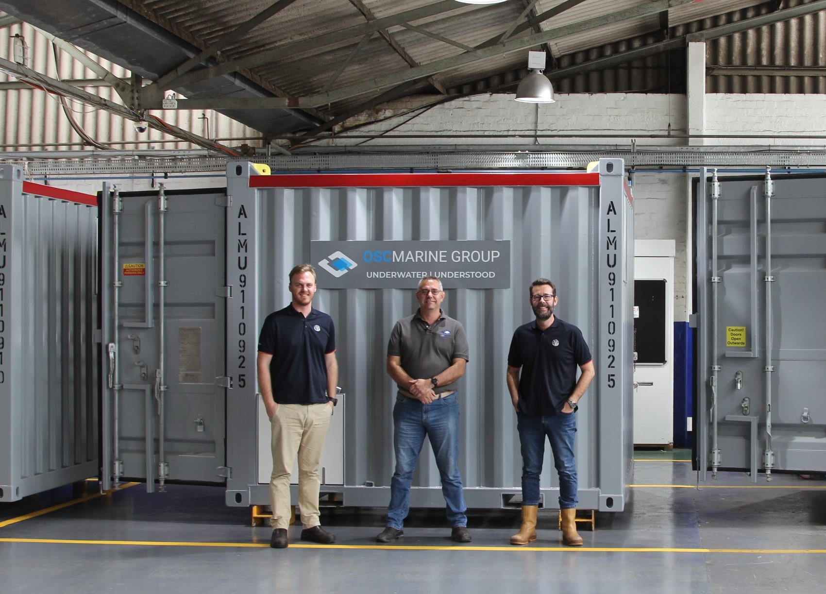
Upon receiving the fully bespoke Nitrox commercial diving system, OSC Marine expressed their utmost satisfaction and delight. Mike Jessop, OSC Marine Group CEO, conveyed their appreciation, stating, "We are thrilled to have received such a high-end, quality system from Unique Group. Their unwavering commitment to excellence and attention to detail throughout the design and delivery process has been exceptional. This bespoke solution met our requirements for delivery, quality, and robustness. "
Rodney McKechnie, VP-Diving and Life Support at Unique Group added: "We are delighted to have worked closely with OSC Marine to deliver this fully bespoke Nitrox commercial diving system. Our collaboration and shared commitment to innovation and safety have resulted in a system that surpasses expectations. This delivery signifies our dedication to providing cutting-edge solutions tailored to the unique needs of our clients. We look forward to continuing our partnership with OSC Marine and supporting their future endeavours."
Unique Group's relentless pursuit of innovation and customer satisfaction has established them as a leading provider of diving and subsea solutions worldwide. With a diverse range of advanced products and a steadfast focus on excellence, Unique Group continues to set new industry benchmarks and create exceptional value for its clients.
Robosys and SEA.AI collaborate to provide intelligent autonomous navigation
Robosys and SEA.AI have joined forces to develop and deliver the world’s first intelligent maritime autonomous surface navigation and collision avoidance system integrating computer-based AI machine vision.
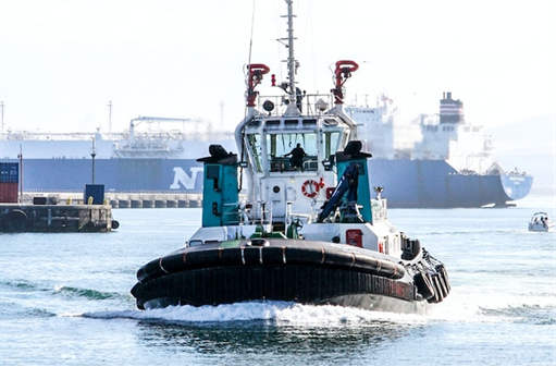
Developed for an Indian shipping operator operating in the Mumbai region, this is the world’s first commercial vessel to feature this integrated Perception System to support both crewed and uncrewed operations including for remote and autonomous maritime operations. Integration of Robosys’ Voyager AI intelligent navigation software together with SEA.AI’s Sentry enables vessels to benefit from market-leading obstacle and collision avoidance that is further enhanced by non-fatigue optical algorithms.
The Robosys-SEA.AI’s systems seamlessly integrate via software interfaces to provide early alerts to crews and remote operation hubs regarding objects on the surface of the water. Using the latest camera technology in combination with artificial intelligence (AI), SEA.AI detects and classifies objects, including those that are not obvious when using conventional systems such as Radar or AIS. Installation of the integrated Robosys’ Voyager AI and SEA.AI’s system is now complete, with the first vessel due to start sea trials.
Whilst the machine vision system primarily enhances safety, provides superior, no fatiguing, 360° situational awareness and surveillance for commercial vessels, government craft, first responders and motor yachts, Voyager AI itself also brings wider benefits such as improved fuel efficiency through smart path planning.
The integrated SEA.AI machine vision system analyses all the pixels coming from the set of thermal and low light cameras to detect and assess the level of risk of the floating objects around the vessel. This pioneer technology uses latest deep learning capabilities and ever-growing proprietary database of 9+ millions of annotated marine objects to classify the type of floating hazards detected.
The Voyager AI System fuses the Machine Vision’s target data with other track sources such as from Radar and AIS and then either recommends or manoeuvres the vessel taking in to account all navigation, shipping and ENC hazards. Voyager AI is proven onboard vessels up to 320m.
The System has a far-reaching detection range, combined with the widest ¬detection angle and fastest ¬detection frequency available, which improves performance in unfavourable sea conditions.
Nigel Lee CSO says, “In 2022 Robosys and SEA.AI first identified the need to provide the additional optical reassurance to crewed and uncrewed vessels, through providing the visual aspect of watchkeeping, thereby supporting COLREGS Rule 5 Visual Lookout, without fatigue and enhanced consistency. It is great to experience the first vessel now utilising this unique and essential solution, which will contribute to helping create safer seas and potentially save lives.”
"Seeing our collaboration come to life with Robosys is truly exciting”, said Marcus Warrelmann, CEO of SEA.AI. “Our unique Maritime Machine Vision provides optical reassurance to crewed and uncrewed vessels, and represents a significant step towards safer seas and enhanced maritime safety. This achievement reaffirms our dedication to innovation and our mission to make a positive impact in the industry."
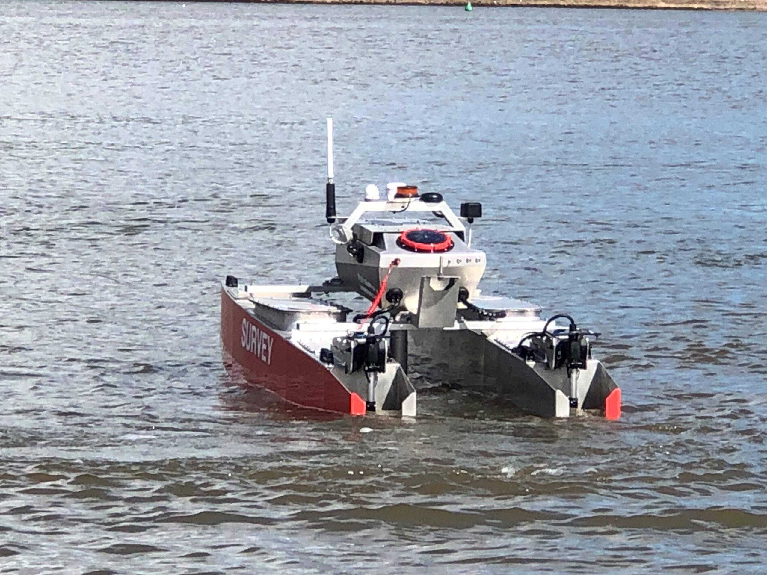
SeaRegs taps HydroSurv for state-of-the-art training USV
SeaRegs Training, specialists in internationally recognised maritime courses and marine apprenticeships, has ordered a customised REAV-28 Uncrewed Surface Vessel (USV) from Exeter-based HydroSurv. The vessel will be used to provide industry leading training for USV operators around the UK.
This will be HydroSurv’s most advanced REAV-28 build to date and the company’s first USV to be fitted with state-of-the-art command and control software, VOYAGER AI, developed by marine autonomy leaders Robosys Automation.
VOYAGER AI enables advanced autonomous navigation and platform control through radar, AIS, perception systems, sonar and LIDAR, as well as sensor integration for autonomous collision, obstacle and grounding avoidance. These features will allow SeaRegs trainees to develop the knowledge and skills required to understand and operate cutting-edge and complex navigation solutions for autonomous craft.
Nigel Lee, CSO of Robosys commented: “VOYAGER AI is the first choice for many of the world’s leading maritime training establishments, so it’s great that Robosys has teamed with two outstanding British companies to provide this to UK-based USV remote operations teams.”
SeaRegs’ stringent training programme requirements have also contributed to the custom design, which will be used in the provision of courses for safe and efficient operation of mid-sized to large seagoing USVs. With its compact size, the REAV-28 is portable and practical for the training school to operate alongside existing vessels. It will, however, be equipped with a suite of situational awareness sensors typically seen on larger USVs, supporting SeaRegs’ aims to set new standards in the conversion of existing and new skippers to USV operation, with hands-on experience as part of its training portfolio.
Simon Jinks, Director of SeaRegs, said: “SeaRegs has always strived to be at the cutting edge of technology in training for the commercial vessel sector and we’ve been training USV operators for seven years now. We see this vessel and the relationships with HydroSurv and Robosys as a positive step forward in ensuring that new operators can learn USV operation, mission planning and regulation in a practical and hands-on way. Our aim is to have an accredited five-day training course available in the near future.”
David Hull, Founder and CEO of HydroSurv, added: “HydroSurv has consistently showcased ambition through its dedication to continuous innovation and product development. With a strong focus on establishing leadership on regulatory compliance and safety, this new partnership with SeaRegs and Robosys amplifies this commitment by putting a ground-breaking training asset into the hands of new operators.”
The new training vessel is expected to enter service at SeaRegs’ Turnchapel Wharf facility in Plymouth at the end of summer 2023.