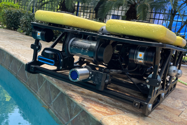
Outland Technology ROV-3000 fitted with Impact Subsea’s ISFMD
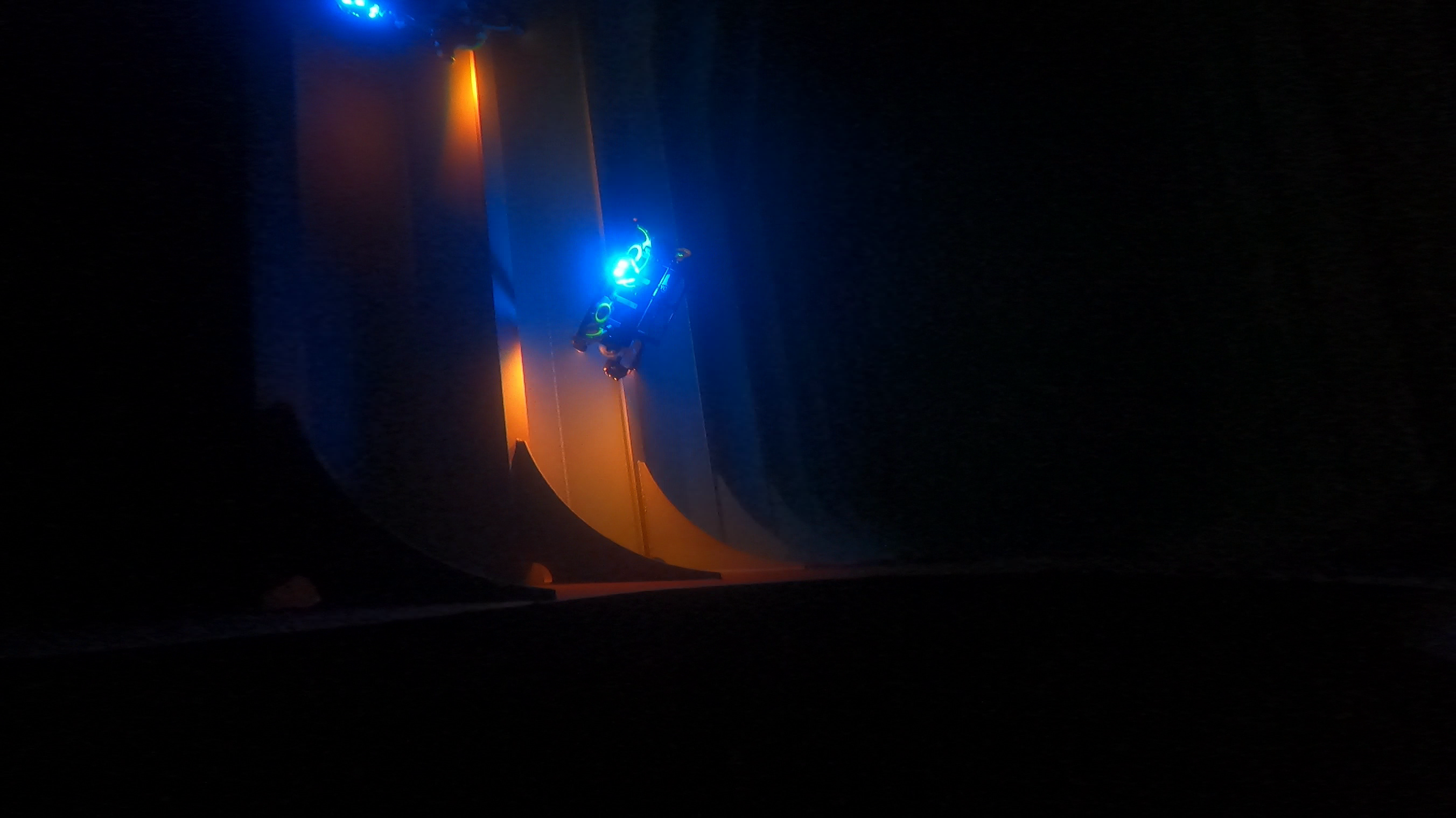
Impact Subsea’s flooded member detection system has been integrated onto Outland Technology’s newest and most powerful model ROV-3000, designed for ease of use and ruggedness.
The combined ROV-3000 and ISFMD system will be put to work by Offshore Drone Inspection Services for a wide variety of inspections in the Gulf of Mexico.
The ROV-3000 manufacturer, Outland Technology is a privately owned, family-run, U.S. producer of high-quality underwater video, lighting and remotely operated vehicles (ROVs).
The new ROV-3000 pushes the limits of inspection class ROVs. Features include a 2,000 feet (600 meters) depth rating, auto depth, auto heading, auto pitch, and tool-free maintenance.
Sean Mayfield of Outland Technology commented on the systems easy set-up and installation;
“We just finished implementing the ISFMD tool on our newest ROV-3000, It worked out amazing! We delivered it this morning and the customer is super excited about using it for the first time.”
Scotland based Impact Subsea, designs, manufactures and supports a range of high-performance sensor solutions for underwater vehicles and associated applications. The company’s sensor solutions are used in the oil and gas, renewables, underwater research and defence sectors.
The ISFMD system is the first of its kind to utilize digital acoustic detection instead of typical harmful gamma rays to inspect offshore platform members or subsea pipelines for flooding as a result of cracking, damage, corrosion, and/or other defects.
The ISFMD is suitable for small ROV deployments as it uses a compact broadband ultrasonic probe paired with an advanced digital signal processing engine to provide the most reliable readings on the market today.
Ben Grant, Managing Director, Impact Subsea added;
“The ISFMD System provides the latest in underwater, ultrasonic Flooded Member Detection technology. It provides the most advanced and reliable Flooded Member Detection available today.
Adding the ISFMD sensor to the ROV-3000 provides a very capable means of performing Flooded Member Detection surveys using an underwater remotely operated vehicle.”

Air Control Entech secures DNV class approval for Hydromea's EXRAY™ underwater inspection robot
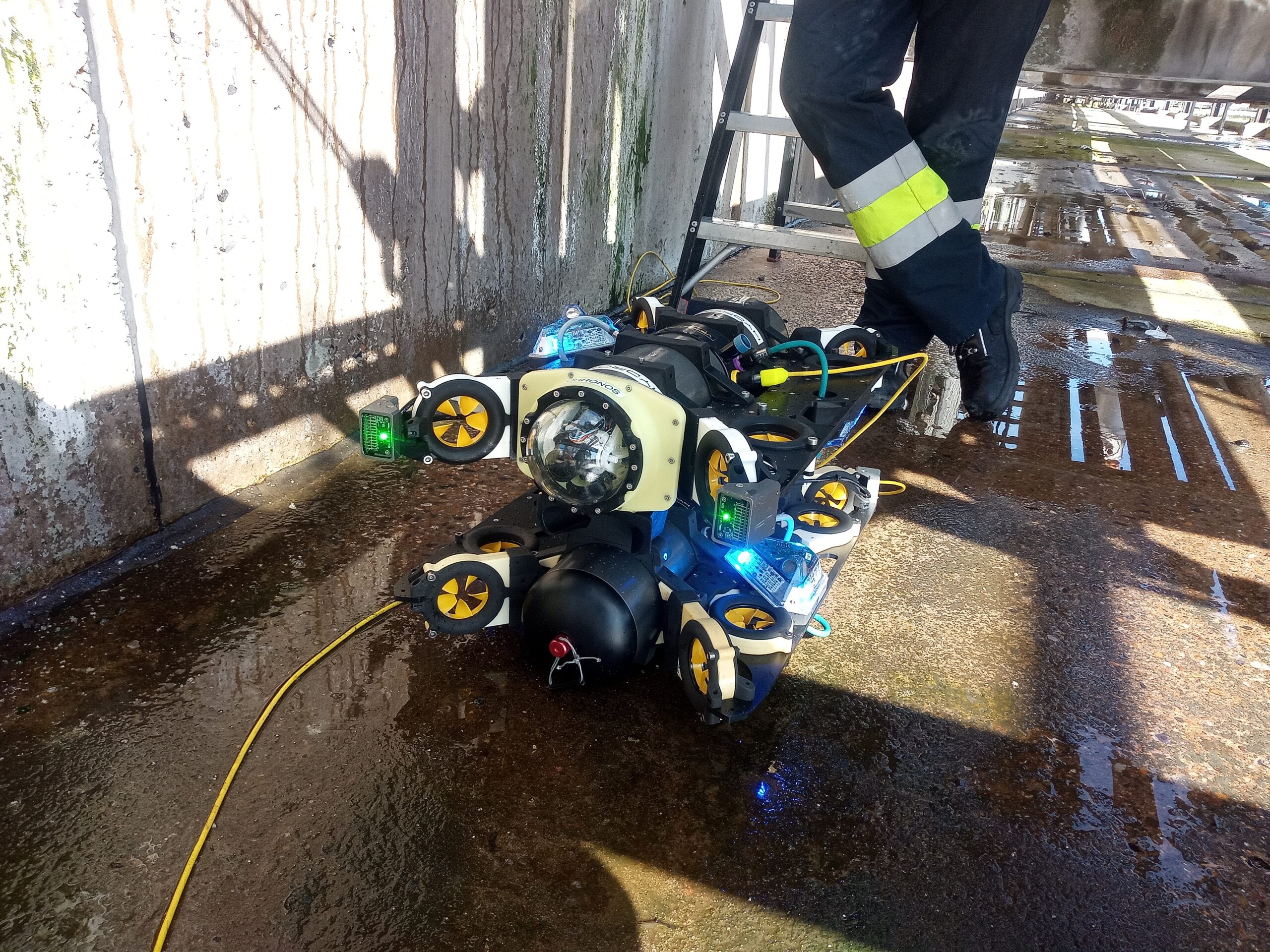
Air Control Entech (ACE), a leading remote technology specialist headquartered in Scotland, is proud to announce that it has received class approval from DNV for Hydromea's revolutionary EXRAY™ underwater inspection robot for Visual Remote Inspection Technology (RIT). This milestone achievement paves the way for certified inspections of flooded spaces at offshore floating platforms, revolutionising the inspection process and ensuring enhanced safety and efficiency in the offshore energy industry.
EXRAY™, developed by Hydromea, is a state-of-the-art underwater inspection robot that combines advanced technology and innovative design to overcome the challenges posed by inspecting submerged areas. With its compact size, high maneuverability, and real-time data transmission capabilities, EXRAY™ is set to transform the way inspections are conducted, allowing for swift and accurate assessments of flooded spaces.
Mr. Igor Martin, CEO of Hydromea, expressed his excitement about the collaboration with ACE and the significance of DNV's class approval, stating, "We are thrilled that our partner ACE received the successful class approval of EXRAY™ by DNV. This achievement underscores the immense potential of our underwater inspection robot to revolutionise the industry's approach to offshore inspections and keep people safe, away from dangerous jobs offshore. With ACE's expertise in offshore surveys and DNV's stamp of approval, we are confident that EXRAY™ will set new benchmarks in terms of safety, efficiency, and environmental responsibility."
As a certified remote technology specialist, ACE has established itself as a frontrunner in delivering innovative solutions to the offshore sector. With the class approval received from DNV, ACE can now offer its clients certified inspections of flooded spaces at offshore floating platforms, ensuring compliance with industry regulations and enhancing operational integrity.
Mr. Kieran Hope, COO of ACE, commented on the achievement, stating, "Receiving DNV class approval for Hydromea's EXRAY™ is a significant milestone for ACE. This partnership allows us to provide our clients with a cutting-edge solution for underwater inspections, enabling them to address maintenance and safety concerns with greater efficiency. We are proud to be at the forefront of this transformative technology and look forward to the positive impact it will have on the industry."
This collaboration between ACE and Hydromea, along with the class approval from DNV, marks a breakthrough in the field of underwater inspections. The EXRAY™ robot's ability to collect real-time data in hazardous and challenging environments will improve the accuracy of inspections, reduce downtime, and enhance overall operational efficiency in the offshore energy sector.
Job Advert: EGS international hiring for Business Development & Tendering Support
EGS international are growing its commercial team to meet increasing demand for its services, with particular focus on offshore renewables. This is an exciting opportunity to contribute to its success in providing survey services to offshore industries.
Your core role will encompass three disciplines; Business Development, Tendering Support and Marketing Support.
Business Development – research opportunities, contact potential clients and increase awareness of EGS as a service provider. Assess new geographical opportunities within reach of our offshore vessel. Help build customer relationships.
Tender Support – follow up and respond to expressions of interest and pre-qualification requirements, contribute to tender assessment & submissions.
Marketing – assist with marketing campaigns and attend exhibitions. Contribute to marketing material and log client feedback.
A knowledge of the survey industry would be desirable and commercial experience would be beneficial, however full training will be provided.
Why should you apply?
• Competitive salary package.
• Company pension scheme.
• Ongoing training and development opportunities.
• Flexible and/or hybrid working conditions considered.
Main Responsibilities:
• Be aware of all operational and planned OWF sites and identify procurement contacts for each. Promote EGS and regularly update clients on EGS availability and capability.
• Look at wider geographical regions for expansion, particularly to extend the survey season and increase vessel utilisation in the quieter winter period.
• Take the lead with RFI/PQQ responses, identify departmental and external support that’s required to complete the requests and follow up after submission.
• Review tender documents, identify submission requirements, and liaise with technical advisors & sub-contractors to prepare good quality proposals and quotations within client deadlines.
• Secure feedback from successful and unsuccessful tenders, for analysis, business planning and continual improvement.
• Keep Commercial Dept. KPI’s updated on a regular basis. Review and relay client comments to senior management.
• Update client portals and online tender websites with current information, make sure notifications/alerts are functional.
• Man the EGS stand at trade exhibitions and join its team when visiting trade shows to help promote EGS. Identify exhibitions and events to attend.
• Review trade magazines, websites etc. to assess and follow up potential opportunities.
• Identify market trends, provide feedback on new technologies, resources and survey methodologies that can make EGS more competitive.
To express an interest please email your Cover Letter and CV to [email protected]
Job Advert: CMS GeoScience hiring for a Hydrographic Surveyor
CMS GeoScience Ltd is looking for a Hydrographic Surveyor to join the team, primarily based in its office near Falmouth, Cornwall.
CMS GeoScience's multidisciplinary team specialise in the collection of data from around the UK and Europe for a variety of marine business ranging from ports & harbours to offshore energy developments, civil engineering projects through to key aggregate industries. Its data allows its clients to properly evaluate the seabed prior to developments or activities effecting the seabed.
You will become a key member of this very specialised team and will be responsible for a variety of tasks related to accurate site characterisation and marine engineering projects, offshore site investigations and the production of accurate and concise reports in accordance with industry and company standards.
This role will primarily be based in the South West offices near Falmouth, but will demand a flexible approach towards your working location.
You will typically be required to work offshore for several weeks at a time throughout the year, in demanding marine environments as well as having the opportunity to work around the globe on various third party contracts. Tidal and coastal/inshore working demands a flexible approach to working patterns.
When not offshore you will be working to review and interpret the data in order to compile accurate reports for CMS GeoScience's clients. You will also work from its sites in Plymouth or Lowestoft, with travel/temporary accommodation provided as required.
CMS GeoScience would like to hear from you if:
• You are looking for a career in a company where your actions count, and you become a valid and pivotal member of a small and ambitious team.
• You want to be continuously challenged and motivated to develop an exciting and rewarding career.
• You are highly organised & flexible with an ability to adapt & remain calm in challenging and rapidly changing situations.
• You can work closely with a variety of different people and communicate clearly to achieve positive outcomes.
• You can prioritise and remain focused when under pressure.
• You are accountable and responsible for your own decisions and actions and will prioritise the health and safety of yourself and those you are working with.
What would a typical week involve?
No two days will ever be the same in this vibrant company but you can typically expect to be assisting with the planning and preparation of all upcoming offshore projects with responsibility for creating the correct paperwork and project information, as well as ensuring that all relevant equipment is calibrated, verified and mobilised correctly. You will participate in operational planning meetings and provide accurate updates and information on projects.
If you are out at sea you will be in charge of the positioning for the offshore team to ensure data is collected accurately and meets the specified contractual and company requirements, quality checking the data at all stages. You will jump in and help other team members as necessary for the duration of the job in order to get the contract completed and you will be working closely with the skipper to ensure accuracy and efficiency in all operations. When the project is over you will be responsible for ensuring the safe demobilisation of the survey equipment and ensuring the safe transfer of any data, feeding back any faults or improvements you recommend.
When not offshore you will be desk based processing the data and compiling reports and information as required. You will also be continuously working to maintain our company systems and procedures and provide input into the continuous improvement and development of our systems. You may also spend some of your time at shows and events or networking on behalf of the team.
What do you need to apply?
• Survey/hydrographic/ocean science/data related degree
• Extensive knowledge & skills for data processing and interpretation of relevant data
• Ablility to use Trimble, HydroPRO, Hypack and QPS QINSY navigation software
• Sound knowledge & skills of modern survey methods and equipment
• A full UK driving licence
• Currently eligible to work in the UK
• A valid offshore medical certificate
• Strong IT skills, especially in Microsoft 365
• Strong technical writing skills
• Fluent in spoken and written English
Nice to have but not essential:
• Software /programme experience
• Offshore / marine experience and interests
• Experience of working in the shallow nearshore and coastal environments
• Experience of mobilising and demobilising a variety of inshore to offshore vessels
• Practically minded & ‘hands-on’ aptitude
What CMS GeoScience offer you in return?
A competitive salary along with an attractive package of benefits including a contributory pensions scheme, private medical insurance and offshore top up pay.
Comprehensive training and personal development opportunities allowing you to move your career forward to reach your full potential within a supportive and progressive company.
28 days annual leave including statutory holidays plus up to 5 days sell-back/buy-extra options.
An inclusive culture, with a friendly environment and regular social events.
What makes this opportunity stand out?
CMS GeoScience is an equal opportunities employer. It builds and adapts its business using the strengths of its employees. CMS GeoScience believe providing professional training and personal development opportunities are vital for growth of the individual and the team. No longer just a holiday destination, Cornwall provides a thriving and dynamic environment to work, live and relax and features in the top 20 list of the happiest places to live in the UK.
Seabed 2030 and NORBIT Oceans join forces to accelerate global ocean mapping efforts
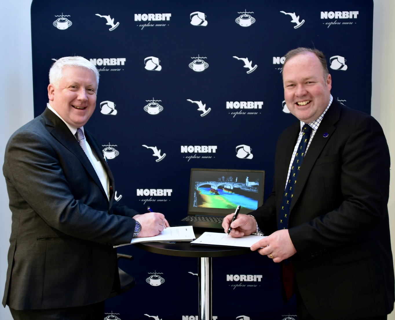
The global effort inspiring the complete mapping of the world’s ocean floor - The Nippon Foundation-GEBCO Seabed 2030 Project - has announced its newest partnership with NORBIT Oceans, a leading provider of underwater imaging and mapping technology. The parties will work together to advance the field of ocean science, and obtain a complete map of the entire ocean floor.
A collaborative project between The Nippon Foundation and the General Bathymetric Chart of the Oceans (GEBCO), Seabed 2030 seeks to inspire the complete mapping of the world’s ocean by 2030, and to compile all the data into the freely available GEBCO Ocean Map. Seabed 2030 is formally endorsed as a Decade Action of the UN Ocean Decade. GEBCO is a joint programme of the International Hydrographic Organization (IHO) and the Intergovernmental Oceanographic Commission (IOC), and is the only organisation with a mandate to map the entire ocean floor.
With a focus on providing technology solutions to global maritime markets, NORBIT Oceans is one of three segments within the global technology company NORBIT ASA, headquartered in Norway. NORBIT Oceans offers advanced solutions for seafloor mapping, environmental monitoring, tailored products for the aquaculture and security markets, as well as customised cables.
Under the partnership, which was entered into in Monaco during the 3rd IHO Assembly, NORBIT Oceans will strengthen the capabilities of Seabed 2030 and its network by providing innovative solutions involving bathymetric survey data sets, research voyages, as well as general survey activities.
In April, NORBIT Oceans launched its next-generational stabilised multibeam sonar system in Southampton, ahead of Ocean Business 2023. The company introduced the new ‘iWBMSh Stabilised’ system which provides active roll, pitch, and yaw stabilisation as well as dual swath capability in a compact and lightweight form.
"NORBIT Oceans’ technology solutions and expertise in underwater imaging will be invaluable to our mission of mapping the entire ocean floor,” commented Jamie McMichael-Phillips, Seabed 2030 Project Director. “This collaboration will bring us closer to achieving our ambitious goal, whilst advancing scientific understanding of the world’s marine environment.”
“We share Seabed 2030’s values in social responsibility and sustainability,” said John Fraser, NORBIT UK and Middle East Director. “We’re therefore delighted to join the project and support the delivery of its crucial objective, which is essential to the sustainable management of the planet.”
Ocean Tech Challenge winners will combine Canadian and UK ingenuity to expand ocean exploration
Exploring more of the ocean – and finding new ways to do it safely – represents tremendous opportunities both at home and in international markets. The ocean is responsible for 30% of Atlantic Canadian exports and 320,000 jobs across Canada. Globally, the ocean economy is projected to reach an overall value of $4 trillion by 2030 – but to date, only about 10% of the ocean has been explored.
The announcement signaled a big step toward safer, more sustainable ocean exploration, as Canada and the United Kingdom announced the winning teams in the inaugural ocean tech challenge. They are:
1. eSonar Inc. (St. John’s, NL) with Aquatec Group Inc. (Basingstoke, England, UK)
2. Deep Vision Inc. (Dartmouth, NS) with D-RisQ (Malvern, England, UK)
Each team will merge technology from both sides of the Atlantic, developing two different tools that will help uncrewed vessels “see”, sense and move more skillfully in water. eSonar is combining its subsea acoustic sensors with Aquatec’s marine monitoring instruments to create a suite of enhanced sensors that will increase vessels’ awareness. D-RisQ’s verification technologies will be used to build safety monitor software which will use Deep Vision’s perception system to detect and avoid obstacles. The two solutions will help vessels venture farther to collect new, valuable ocean data – while better safeguarding the environment around them.
Spearheaded by the Ocean Technology Council of Nova Scotia (OTCNS) and Innovate UK, with support from ACOA, the ocean tech challenge is designed to create industry-advancing solutions, open new markets for innovative companies and grow trade through international partnership.
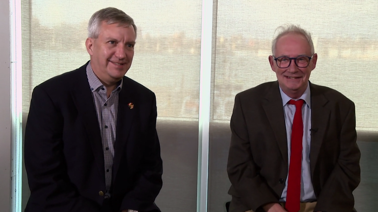
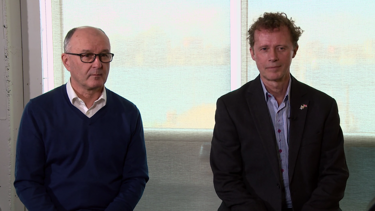
Click for video interviews with the ocean tech challenge winners.
“In the race to build the clean economies of the 21st century, countries and companies that work together gain an automatic head start. The winners of this year’s Canada-UK ocean tech challenge are demonstrating this powerful advantage, as they combine their respective strengths to advance clean growth in the ocean sector. As we move forward, Canada is committed to making transformative investments to build our clean economies and creating new opportunities for businesses.” - The Honourable Ginette Petitpas Taylor, Minister of Official Languages and Minister responsible for ACOA
“The biggest impact of the technology we’re working on is expanding the area of safe navigation for automonous underwater vehicles (AUVs) – so that we can collect more data on the ocean. A good example would be in Canada’s North where many of the bays and inlets have never been surveyed. If we can do that with AUVs that have increased situational awareness, it will add real value to Canada’s North. This has opened up partnership and collaboration opportunities that we wouldn’t have accessed any other way – and this is going to open up new markets for us.” - Gary Dinn, CTO, eSonar Inc. (St. John’s, NL, Canada)
“Partnership is powerful because when we work with other companies, we can draw on their experience so it’s not all coming from one narrow perspective. With eSonar, we can work with their expertise in acoustics and we can bring our communication technologies together. This gives us the opportunity to develop some new instrumentation, and explore new ways of sensing in the ocean.” - Andy Smerdon, Managing Director, Aquatec Group Inc. (Basingstoke, England, UK)
“The potential impact for the environment is very significant. We’ve done a lot of work on the detection of marine mammals, especially the North Atlantic right whale – to be able to automatically detect those via camera systems. What we’re doing is enabling truly autonomous systems, which is edge AI. It’s taking place without remote control and nobody staring at a screen. Something can go off and do its job because it can perceive the environment and the objects within it.” - Alan Parslow, CEO, Deep Vision Inc. (Dartmouth, NS, Canada)
“This has given us the opportunity to work with Canada, with support from the UK and ocean tech partners. This competition is a brilliant way for us to be able collorate and expand into international markets. The biggest impact for industry will be the ability to develop and use autonomous vehicles in air, land and sea sectors much sooner. We're looking to make sure that people can take on these technologies, enabling others to do fantastic things.” - Nick Tudor, CEO, D-RisQ (Malvern, England, UK)
TrueOcean Marine Data Platform now provides native access to essential MetOcean data from Spire Global
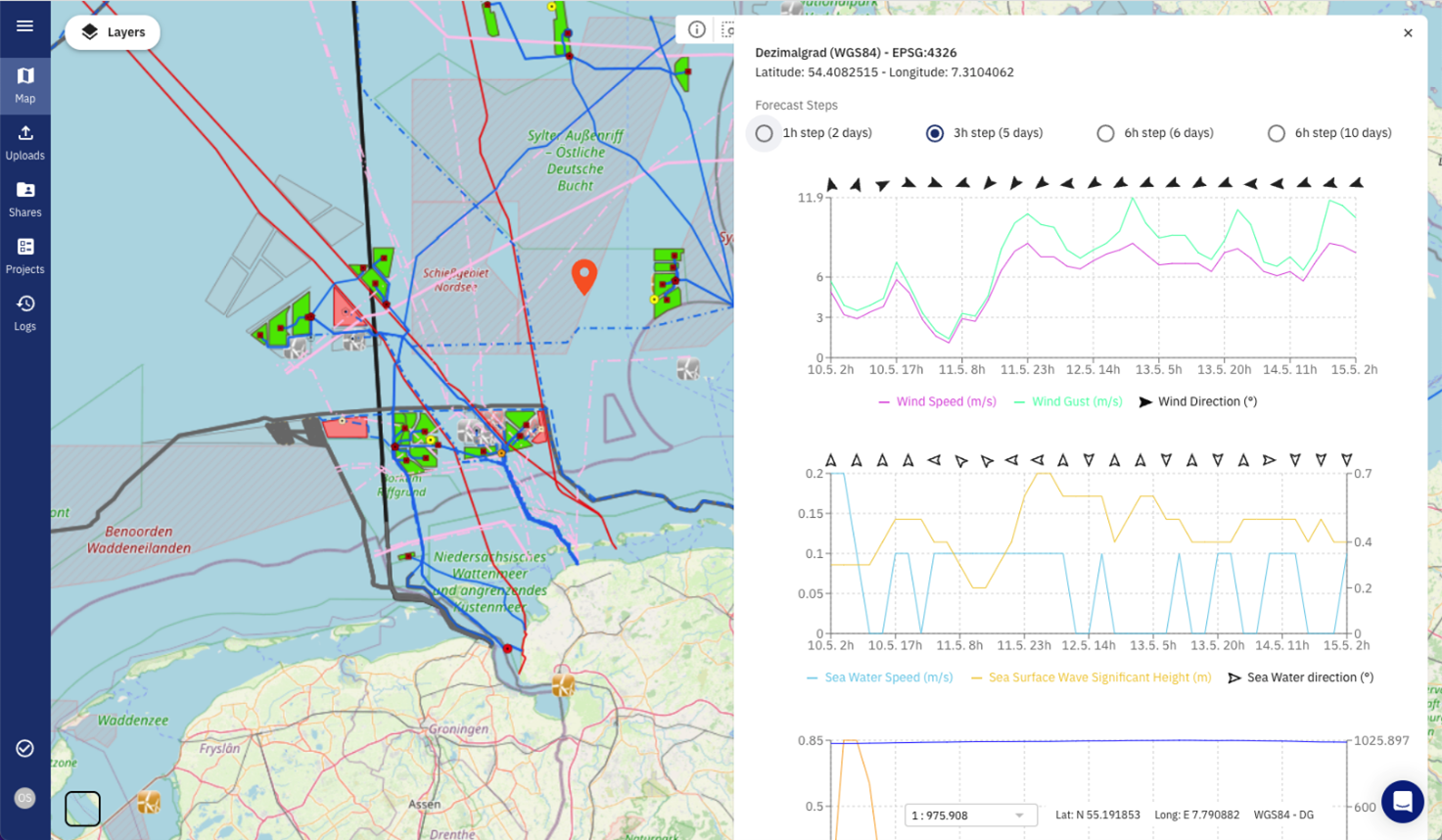
TrueOcean’s innovative cloud-based Marine Data Platform (MDP) for optimising offshore wind project development and operations globally has been upgraded to include MetOcean data forecasts natively, enabling marine survey, energy company and offshore contractor end-users to improve quality control of data from diverse marine sensors such as multibeam echo sounders and sub-bottom profilers.
The seamless integration of highly accurate wind, wave, and environmental data from Spire Global augments the TrueOcean MDP’s powerful sensor data management capabilities, which are designed to optimise technical workflows in geo-informatics, geotechnics, and hydrography, using a single integrated platform built specifically for the offshore wind sector.
“We’re proud to work with TrueOcean to provide accurate maritime weather and ocean condition forecasts to aid its customers in the successful development and maintenance of offshore wind farms, which are critical infrastructure to building a cleaner and more sustainable future here on Earth,” said Mike Eilts, GM of Weather and Earth Intelligence, Spire.
Spire Global's weather forecast already assists surveying and offshore construction contractors, as well as operation and maintenance companies, in planning and preparing for work at sea. The recorded MetOcean data, in turn, helps asset owners including utilities and cable network operators in verifying their processes and improving quality when working with survey data.
“TrueOcean is excited to partner with Spire Global to ensure that accurate and reliable weather information is available for our clients in the offshore wind industry,” said Frithjof Hennemann, CEO, TrueOcean. “With the addition of Spire's maritime weather forecast, we expand our end users’ ability to integrate their workflows in a single dataspace for data storage, processing and sharing, enabling them to operate more efficiently at every stage of an offshore wind farm’s lifecycle.”

APPG launches inquiry into the Future of Ocean Technology following visit to National Oceanography Centre
The All-Party Parliamentary Group for the Ocean has launched an inquiry into the Future of Ocean Technology. This inquiry will look into the emerging technologies which are essential to the work of the future of the ocean, and at the innovative and modern approaches to sustainable ocean technology and infrastructure.
This comes as the APPG visited the National Oceanography Centre, one of the world’s leading oceanographic institutions and pioneers in ocean technology, in Southampton. The visit, which had a specific focus on ocean technology, included a tour of the Marine Autonomous Robotics Systems (MARS) fleet and a discussion into the future of ocean technology with industry representatives at the Marine Robotics Innovation Centre.
The APPG for the Ocean is a cross-party group of MPs and Peers that seeks to provide a collective space where all parliamentarians can support and promote ocean research and awareness, to develop greater understanding of the ocean and its role in tackling challenges such as climate change, and to debate wider ocean issues. This inquiry is the APPG’s second since its launch in May 2022. Many of the key recommendations made in the APPG’s first inquiry into blue carbon and ocean-based solutions to climate change were echoed in the Government’s Environmental Improvement Plan 2023.
This inquiry will run until Wednesday 12 July, and will cover Great Britain, Northern Ireland and all relevant overseas territories.
APPG Chair Sally-Ann Hart MP commented:
“I am delighted to announce the launch of the APPG’s next inquiry into the future of ocean technology. This is an increasingly important topic into the future of the ocean, and looks at the innovative and modern technologies approaches that support better understanding and sustainable measurements. I am pleased that the APPG for the Ocean’s next inquiry focuses on such modern, sustainable and highly-advanced technologies that support better climate adaptation and resilience in the ocean.
It was a great experience to visit the National Oceanography Centre’s site in Southampton alongside the APPG, to see some of the world-leading ocean technology, such as marine robotics, in action! I look forward to working with National Oceanography Centre and other stakeholders supporting exciting and innovative technological ocean developments.”
Fugro and Fraunhofer IWES secure survey for BSH’s German EEZ wind farm sites
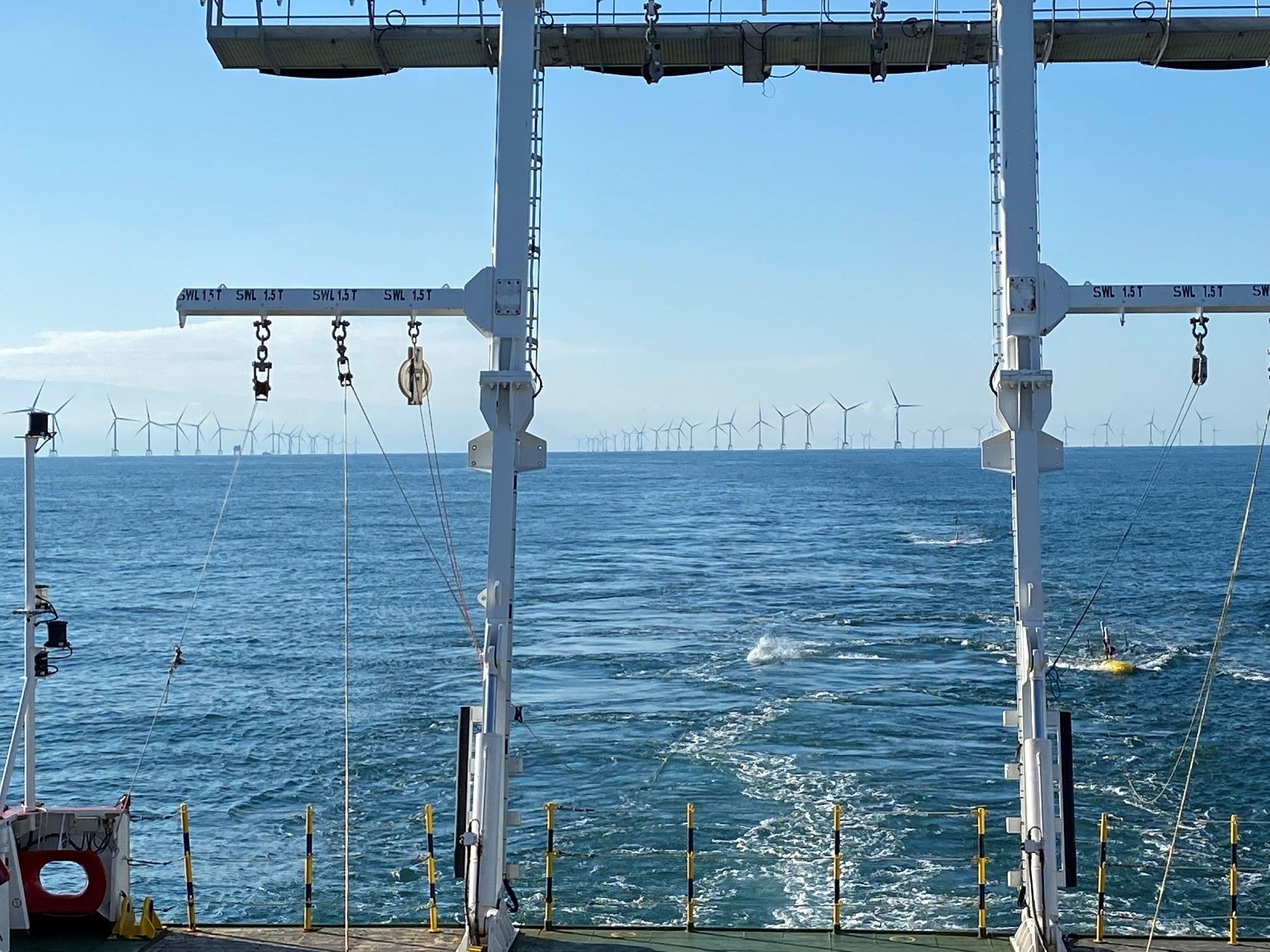
Germany's Federal Maritime and Hydrographic Agency, the Bundesamt für Seeschifffahrt und Hydrographie (BSH), has awarded Fugro a geophysical survey contract for two offshore wind farm sites in the German exclusive economic zone (EEZ) in the North Sea. Working in collaboration with Fraunhofer Institute for Wind Energy Systems (IWES), Fugro’s Geo-data will be integrated with its ultra high resolution multichannel seismic data (UHR MCS) and used by BSH to develop geological models of the offshore sites and support subsequent geotechnical investigations. The project is due to start in May 2023, with Fugro mobilising a dedicated survey vessel to perform high-precision positioning, sub-bottom profiling recording and interpretation.
Additionally, Fraunhofer IWES will be responsible for conducting the multichannel seismic survey, dedicated data processing and interpretation. A dense data raster will be generated totalling 2393 km survey lines. The sub-bottom profiler data provides detailed structural imaging of sediments up to 15 m below the seafloor while the UHR MCS data penetrates more than 100 meters to capture images of small sedimentary bodies and deep valley structures carved by glaciers and filled with younger sediments.
The collaboration of know-how and resources between both teams, will guarantee a safe and efficient survey that meets BSH's stringent planning schedule. The final result will be a preliminary subsurface model that can be used as the basis for future geotechnical survey campaigns as well as to reduce the risk for the future installation of the windfarms.
Connor Schulze, Fugro’s Business Development Manager of Renewables in Germany, adds: "Our demonstrated track record of delivering high-quality Geo-data efficiently has proven to be a great fit with BSH's workflow. Fugro is committed to supporting the German government's energy transition goals, and we are excited to continue our successful partnership with BSH to contribute to the development of German offshore wind farms."
Dr. Julia Haberkern, Group manager of the Geophysical Site Characterisation group in Fraunhofer IWES and project lead explains: “The geophysical investigation is one of the first steps in the planning phase of offshore wind farms. We support the wind energy sector by providing timely, high quality MCS data, maintaining a focus on developing the technology and providing suitable solutions.”
The sites are due to be auctioned in the coming years and will play a significant role in Germany’s energy transition plan, which aims to achieve a target of 30 GW by 2030.
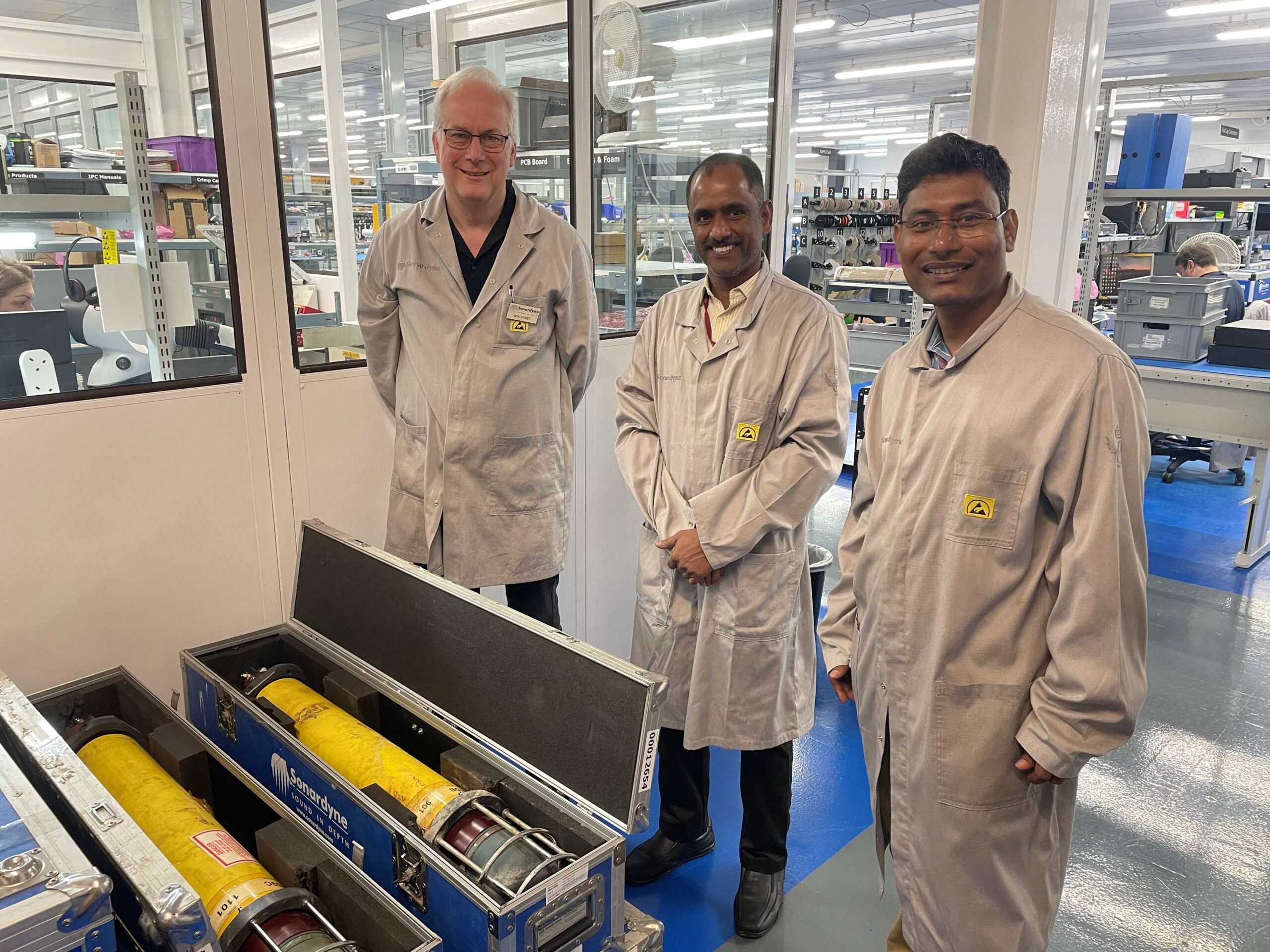
Sonardyne upgrade for India’s national tsunami detection network
A network of deep-water acoustic sensors that provides India’s coastal communities with an early warning of tsunami waves is being upgraded by marine technology company Sonardyne to extend both their endurance and capability.
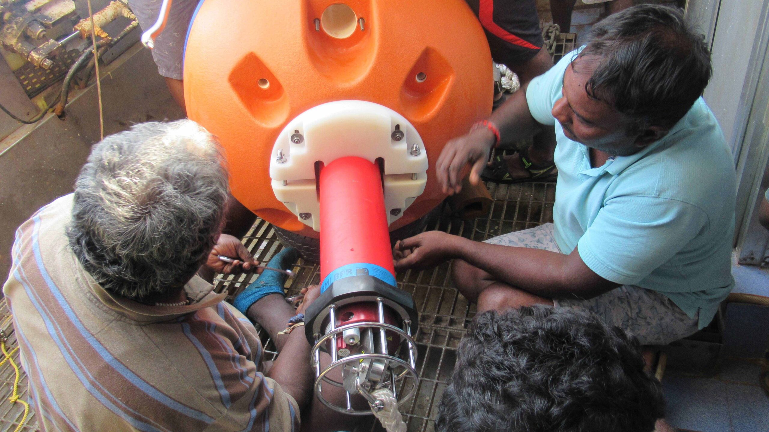
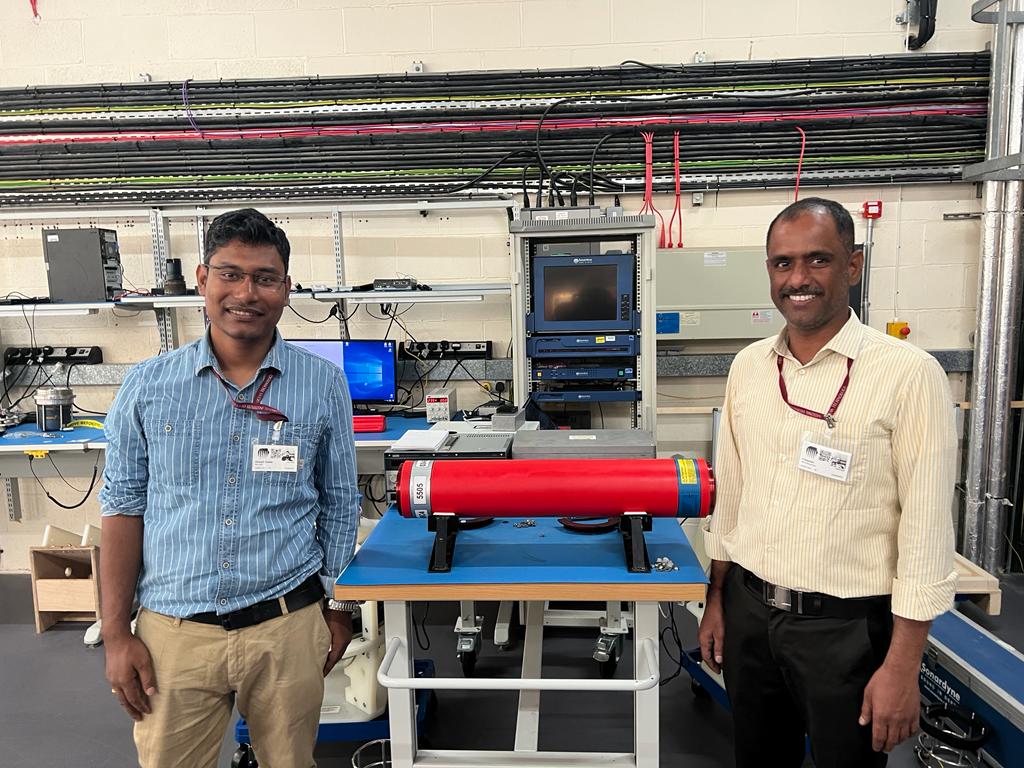
Deployed at key locations in the Bay of Bengal and the Arabian Sea, the network of Sonardyne’s Bottom Pressure Recorders (BPRs) is owned and operated by India’s National Institute of Ocean Technology (NIOT) as part of the country’s Tsunami Early Warning System (TEWS).
The BPRs were first installed in 2007, as part of NIOT’s national tsunami detection system, which was conceived following the deadly Boxing Day Tsunami of 2004.
The BPRs detect the characteristic changes in water pressure (as little as 1 cm in 4,000 m depth) caused by an earthquake in the deep ocean. If a tsunami wave is detected, an alert message is transmitted up to a satellite buoy on the surface. From there, it is relayed to the national Tsunami Warning Centre onshore for comparison with recent seismic activity. If validated, a widescale alarm is raised to alert vulnerable communities.
Following a 10-year life refurbishment in 2017, the BPRs are now being upgraded to Sonardyne’s 6G hardware and Wideband 2 communications standard. The installation of low power electronics. new lower power consumption pressure sensors and doubled battery capacity of these maxi BPRs will significantly reduce maintenance visits and costs. Additionally, the acoustic telemetry signals used to transmit data to the surface will also now be fully digital, providing greater resilience to noise interference in the water column, as well as increasing bandwidth by ten-fold (from 600 bps to 6000 bps).
The first batch of upgraded BPRs arrived in India in 2022, with further batches planned for shipment in 2023. In addition, Sonardyne are also supplying a large pool of spares to maintain a continuously available TEWS capability. These include floats and fittings for the larger Maxi BPRs being supplied, as well as transceivers for the surface buoys to communicate with the BPRs. NIOT are planning to use the upgraded capability to extend the number of permanently occupied stations.
Each BPR is a customised version of Sonardyne’s Compatt transponder – a versatile subsea instrument that has a wide range of autonomous monitoring and measuring applications within offshore energy, survey and ocean science.
Sonardyne’s BPRs benefit from being small and self-contained, with no cables, exterior sensors or batteries to interface, making them easy to deploy and more reliable. These features, alongside long battery life, reliable through-water communications and Sonardyne‘s expertise in long-endurance underwater monitoring applications, are the reasons why they were chosen for the Indian Ocean Tsunami Detection System back in 2007 and continue to protect their coastal communities 16 years later.