
Kraken Robotics and TKMS ATLAS UK Demonstrate KATFISH USV Launch and Recovery System on an in-service UK Royal Navy ARCIMS USV
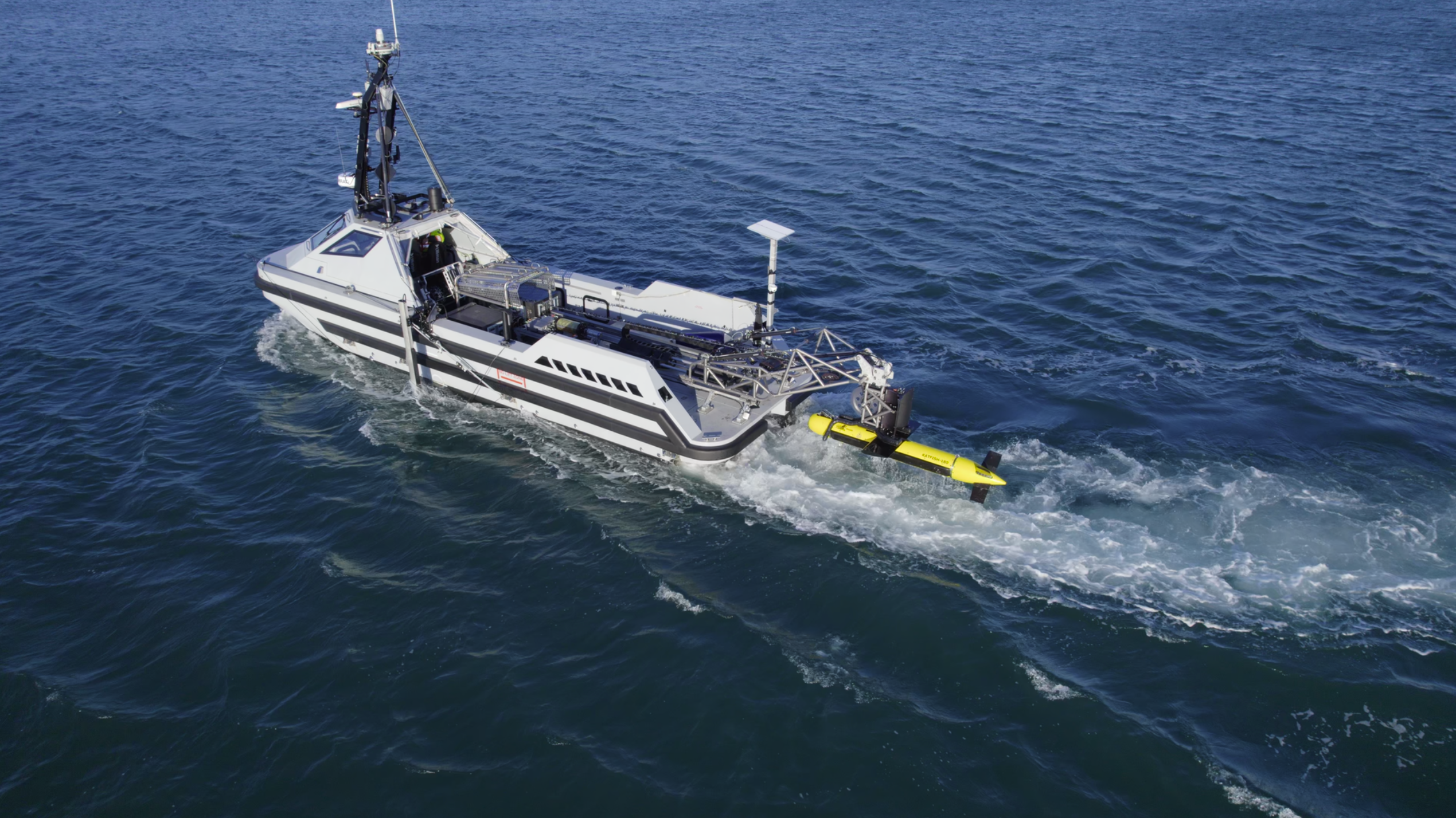
 Kraken Robotics Inc. (“Kraken” or the “Company”) (TSX-V: PNG, OTCQB: KRKNF) announces the successful demonstration of its KATFISH Unmanned Surface Vessel Launch and Recovery System (USV-LARS) from TKMS ATLAS UK’s (ATLAS UK) 11-meter ARCIMS USV. The systems offer a comprehensive autonomous survey package for maritime security missions including mine countermeasure operations and critical underwater infrastructure inspection. Together, ARCIMS and KATFISH USV-LARS provide the industry’s first air-deployable, 300-meter depth rated autonomous towed SAS survey system.
“With the surge in unmanned systems for defence, naval forces need the best technology available to protect national security,” said Greg Reid, President and CEO of Kraken Robotics. “With its ability to safely and autonomously launch and recover KATFISH from USVs, our USV-LARS allows small naval platforms to collect KATFISH’s high resolution synthetic aperture sonar (SAS) data, significantly increasing their capabilities and acting as force multipliers.”
The LARS footprint was designed to fit ATLAS UK’s ARCIMS common deck interface, enabling rapid rerole and seamless integration with the platform. Testing was successfully conducted up to sea state three, validating system robustness and operational readiness.
This joint integration marks a major step forward in delivering agile, modular, and cost-effective mine countermeasure capabilities for modern naval operations. By combining ARCIMS’ proven USV with Kraken’s cutting-edge towed synthetic aperture sonar and recovery system, navies can deploy advanced technologies faster and more efficiently, strengthening maritime security in increasingly complex environments.
The system was demonstrated off the coast of Portland, UK November 18-19 for NATO navies. Attendees witnessed the ARCIMS USV autonomously navigate and plan missions with the KATFISH towed system collecting high resolution SAS and bathymetric surveys in very shallow water. Data was live streamed via satellite communications to the command center on shore, enabling real-time classification of contacts by operators.
Wesley Galliver, Head of Surface Ship Systems Division, TKMS ATLAS UK said “This achievement demonstrates what can be accomplished when innovation and collaboration come together. Integrating ARCIMS with KATFISH and LARS in such a compressed timeframe sets a new benchmark for delivering operational capability to our customers. I am delighted with the results and proud of what the combined teams achieved.”
Kraken’s KATFISH collects high resolution synthetic aperture sonar data at up to a 200-meter range per side at a depth of 300 meters, with real-time data streamed at 3 cm x 3 cm resolution. Kraken’s KATFISH USV-LARS was designed specifically for small vessels, with an all-titanium construction for low magnetic signature and low weight.
KATFISH and USV-LARS were rapidly mobilized on the ARCIMS, with integration, testing and the demonstration happening over a period of just two weeks. Together, ARCIMS and KATFISH USV-LARS provide the industry’s first air-deployable, 300-meter depth rated autonomous towed SAS survey system.

Marine robotics will aid restoration efforts on Scottish loch
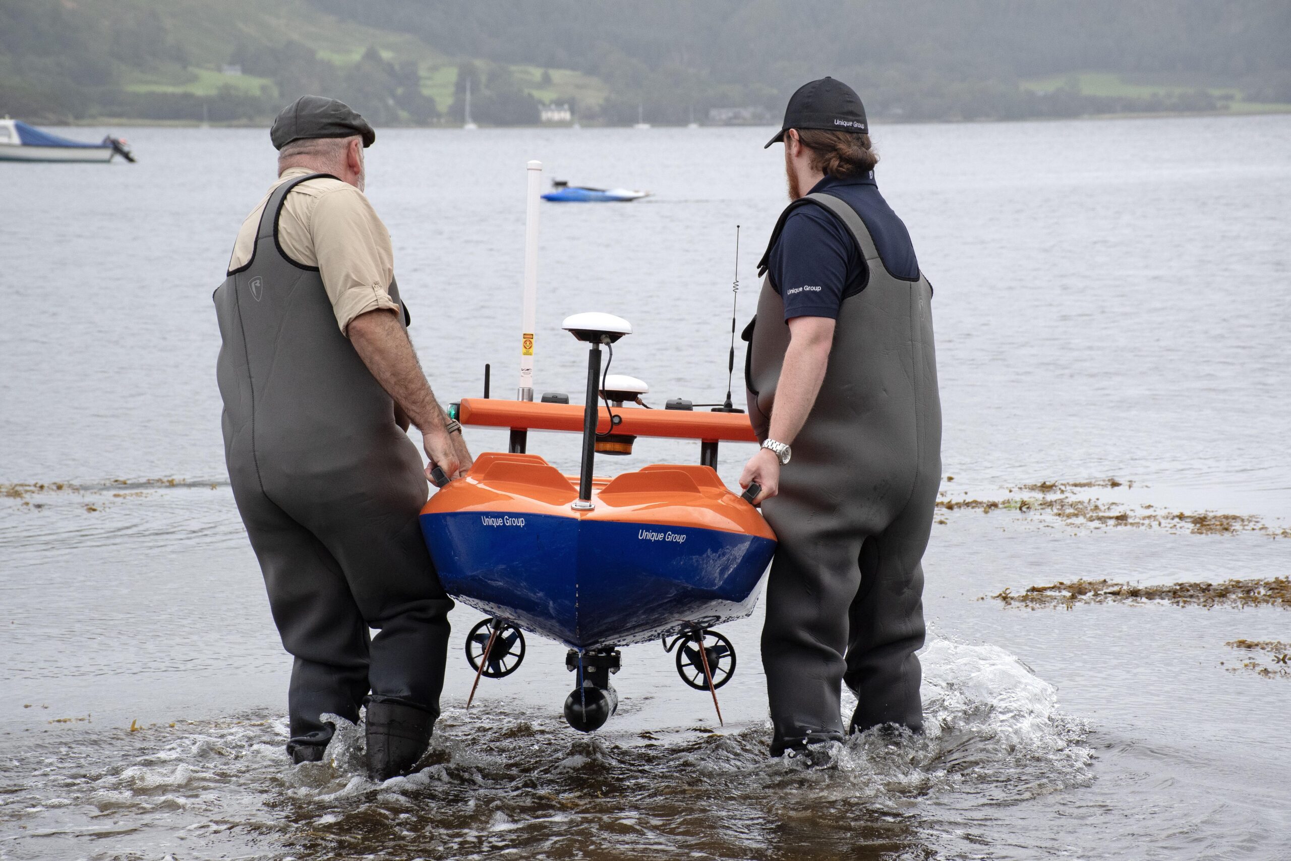
 Restoration efforts on a Scottish loch have been boosted by experimental techniques using sea-going robotics that can identify the most suitable reintroduction sites.
Loch Melfort on the Kilchoan Estate, south of Oban, Argyll, has an ongoing oyster restoration project and is a sanctuary for the critically endangered flapper skate.
A collaboration involving scientists and robotics engineers from the Scottish Association for Marine Science (SAMS) Enterprise team, Unique Group and the University of Glasgow is currently planning a major survey of the loch, following a successful trial of autonomous surface vehicles.
The aim of the survey is to use the marine robotics to accurately survey the loch in order to build a habitat suitability model, which will inform the most effective site for reintroducing European flat oysters. The model will also indicate where flapper skate are most likely to lay their eggs.
Researchers on the project say a successful habitat suitability model for Loch Melfort, which has a shoreline measuring more than 22 kilometres, could pave the way for similar models to be built for similar habitats elsewhere.
Dr Phil Anderson, who heads up the Scientific Robotics Academy at SAMS Enterprise, said: “Marine and airborne robotic systems can completely transform the way we conduct and monitor restoration projects in Scotland.
“These systems can give us more coverage of an area, more quickly, collecting data that we’ve previously needed humans to record – such activity requires a lot of people over a long period of time.
“Although the potential of robotics is therefore clear to see, there is some hard work to be done in fine-tuning how that will be done. That’s what we are working on now with these Loch Melfort trials and we are fortunate to have a fantastic collaboration that draws on different expertise, covering engineering, physics and biology.”
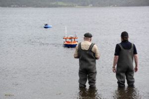 Researchers will use sensors on board the robotics to measure the velocity, or speed, of the currents and sonar to help map the bathymetry of the loch. The survey is planned for early next year, with the data from the trial currently being examined to help inform the next steps.
Marnik van Cauter, Charity Director at Kilchoan Melfort Trust, said: “It is rewarding to see how our mission to restore the once-abundant native oyster population in Loch Melfort has brought together a network of expert organisations, helping to develop tools that will support marine restoration and conservation projects not only here at Kilchoan, but hopefully across Scotland.”
Unique Group Vice President for Survey Chris Blake said: “Unique Group is proud to support the Kilchoan Melfort Trust, SAMS and the University of Glasgow in advancing marine rewilding efforts at Loch Melfort. By deploying our fully electric Uni-Mini Unmanned Surface Vessel (USV) with Ping DSP technology, we delivered high-resolution bathymetry in ultra-shallow and environmentally sensitive areas that are inaccessible to traditional vessels.
“This collaboration provided the detailed seabed insights needed to guide habitat suitability modelling and support the long-term restoration of native European flat oyster populations. We look forward to continuing our partnership on initiatives that enhance sustainability, protect marine ecosystems and drive positive environmental impact.”
Dr Anna McGregor, senior lecturer in Ecology & Environmental Change at University of Glasgow said: “Oysters require a specific set of conditions to grow well, and after supporting Kilchoan Estate’s excellent oyster restoration work for several years to collect data on some of the biological aspects, I’m very excited to be working together with SAMS Enterprise and Unique Group to take that work a step further.
“Having the additional data available from the survey capabilities brought together through this collaboration fills in several key parameters about the physical environment that should enable us to create a much more complete picture about where oysters grow best.”
Kongsberg Maritime Marks 50 Years of Dynamic Positioning Innovation
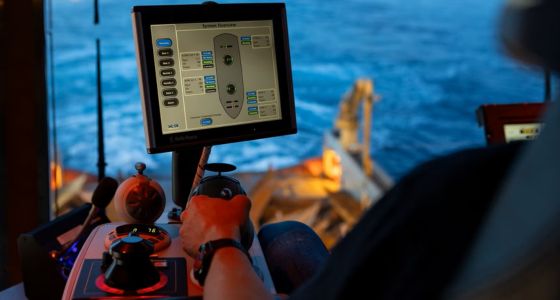
 Kongsberg Maritime is marking a major milestone: 50 years since the introduction of its first Dynamic Positioning (DP) system, a Norwegian innovation that transformed offshore operations and set new standards for safety and efficiency at sea.
The story began in the mid-1970s, when offshore operations in the North Sea faced harsh conditions and dangerous anchoring practices. A breakthrough came in 1977 with the successful live test of the world’s first Norwegian DP system on Stolt-Nielsen’s vessel Seaway Eagle. This pioneering technology allowed vessels to maintain position without anchors, using sensors and thrusters to counteract wind, waves and currents in real time. It was a revolution that made offshore work safer and more precise.
“If it hadn’t been for DP, there would have been no oil adventure,” says Vegard Sæterlid, Head of Positioning and Manoeuvring at Kongsberg Maritime. “Dynamic Positioning changed everything. It gave operators the ability to work safely in some of the harshest conditions on earth, and it opened the door to an entirely new era of offshore operations. What started as a bold idea in the 1970s is now a technology that underpins thousands of vessels worldwide and continues to evolve for the future.”
Jonny Hauge, SVP Bridge and Remote Systems, added: “Today we are celebrating a piece of industrial history in Norway. DP began with a few customers and became the most important technology for starting the oil adventure. From the beginning to what we see today, our customers rely on us for everything from subsea infrastructure to sustainable operations like offshore wind. We are still in the lead and guiding our customers toward success.”
Since then, Kongsberg Maritime has remained at the forefront of DP innovation. Today, more than 4,000 of its systems operate worldwide on offshore vessels, semi-submersible platforms, wind-farm service ships and aquaculture vessels. The latest generation, K-Pos, combines advanced sensor data with power management and intuitive user interfaces, enabling operators to maintain position efficiently while reducing fuel consumption and emissions.
Dynamic Positioning is now a cornerstone of modern maritime operations, supporting everything from offshore energy projects to research and autonomous vessels. It is also a key enabler of future concepts such as remote and unmanned operations, helping the industry achieve greater sustainability and safety.
As Kongsberg Maritime celebrates this 50-year legacy, the company continues to drive innovation for the next era of offshore operations, ensuring that DP technology remains synonymous with reliability, efficiency and progress.
COVE Leads new at-sea testing capability to advance Canada’s maritime security, innovation, and dual-use technology development
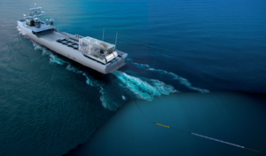 COVE is proud to announce a ground-breaking new at-sea testing capability to strengthen Canada’s maritime security, fuel innovation, and accelerate the development of dual-use underwater technologies for both defence and commercial markets. In collaboration with Defence Research and Development Canada (DRDC), Ultra Maritime (UM) Canada, and the Atlantic Canada Opportunities Agency (ACOA), this initiative positions Canada as a global leader in towed array technology development.
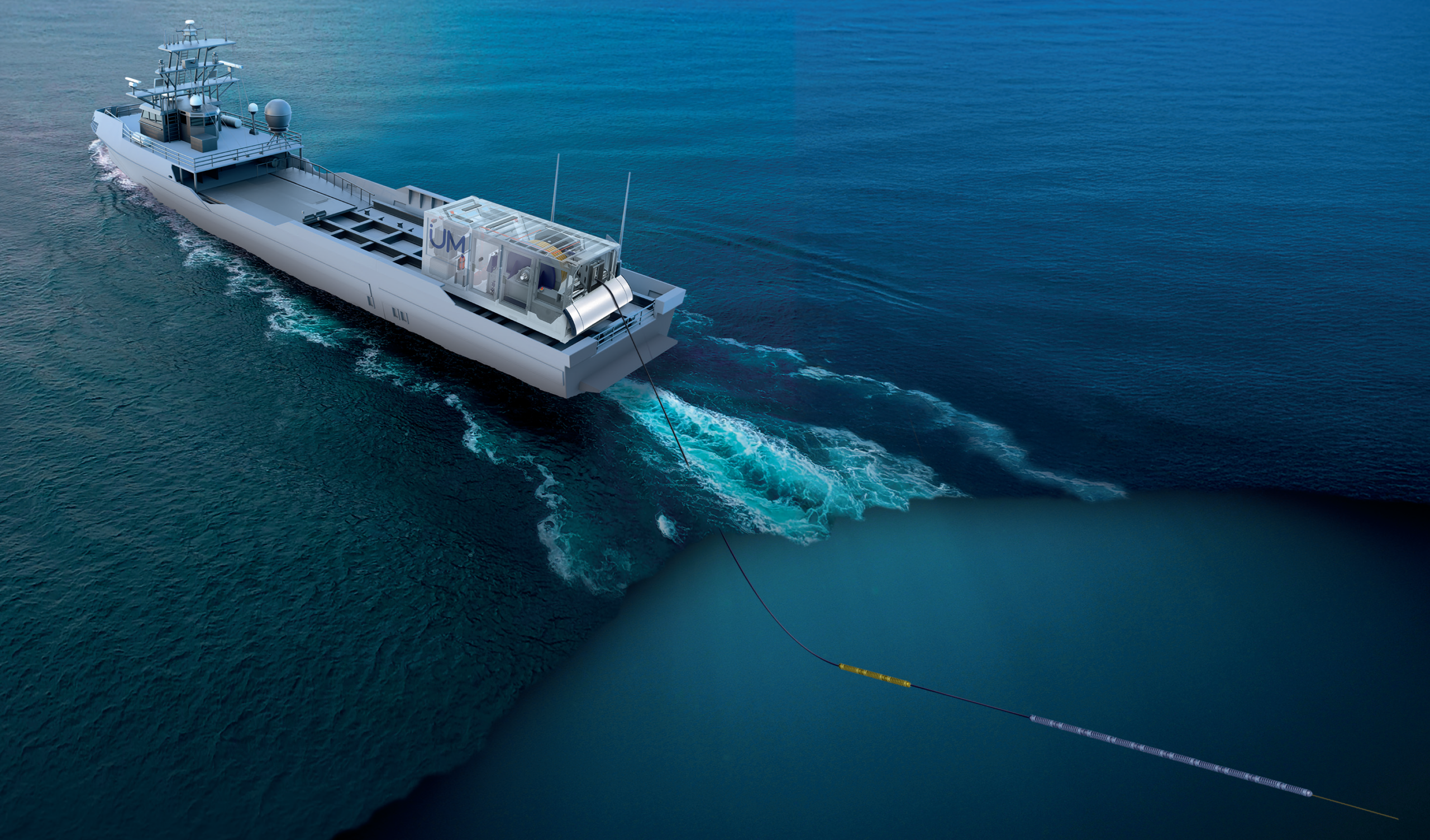
This new containerized testing system is purpose-built for at-sea evaluation of next-generation towed-array technologies. Its modular design allows it to be rapidly installed on a wide range of available ships, eliminating the need to divert frontline Navy vessels from their operational missions. This flexibility accelerates experimentation by enabling frequent trials across diverse marine environments.
The system’s scalable architecture supports advanced towed sensor solutions, including active and passive arrays and long-range surveillance systems. By streamlining at-sea testing and integration, it helps advance the development of future anti-submarine warfare capabilities with potential applications across commercial marine and related sectors.
Today, Darren Fisher, Member of Parliament for Dartmouth–Cole Harbour, announced a total of $9,690,773 in federal funding toward the project, on behalf of the Honourable David J. McGuinty, Minister of National Defence, and the Honourable Sean Fraser, Minister of Justice and Attorney General of Canada, and Minister responsible for the Atlantic Canada Opportunities Agency (ACOA).
“We are transforming the way we develop new technologies for both commercial and defence applications. This collaboration will accelerate the development of advanced underwater sensing systems in a variety of environments, enhancing our Navy’s technological edge,” said MP Fisher. “Today’s investment reinforces our government’s commitment to driving innovation, strengthening national security, and building sovereign testing capacity in Canada.”
As the only Canadian accelerator site selected by NATO’s Defence Innovation Accelerator for the North Atlantic (DIANA), and through its role in the newly announced Defence Innovation Solutions Hub (DISH) in Halifax, COVE sits at the heart of Canada’s defence innovation network. This combined innovation strength drives NORAD modernization, advances NATO priorities, enhances continental maritime awareness, and opens pathways for Canadian dual-use technologies to reach allied markets.
“Canada’s marine and defence innovation ecosystem is built on collaboration, expertise, and ambition,” said Melanie Nadeau, CEO of COVE. “This project showcases the power of partnership between industry, government, and research leaders to advance critical underwater sensing and intelligence technologies. COVE is accelerating innovation that strengthens naval readiness, technological sovereignty, and the protection of our maritime approaches.”
Wayne Shaddock, Senior Director Business Development - Canada, Ultra Maritime, added: “Through the support of ACOA, COVE, and DRDC, Ultra Maritime will deliver its state-of-the-art Sea Tracker system—a scalable architecture that can integrate Ultra Maritime’s full suite of towed technologies to rapidly deploy advanced ASW capability, enabling the detection, classification, and tracking of modern submarines across all theatres. DRDC will employ Sea Tracker to drive experimentation and develop next-generation ASW concepts, reinforcing Atlantic Canada’s leadership in defence innovation, and research and development through this strong collaborative partnership.”
This initiative represents a major investment in Canada’s maritime intelligence and innovation ecosystem, strengthening dual-use technology development, enhancing collaborative research, and improving Canada’s readiness in an evolving global security environment.
Ensuring reliable navigation for divers during tactical missions with Blueprint Subsea and Nortek
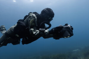
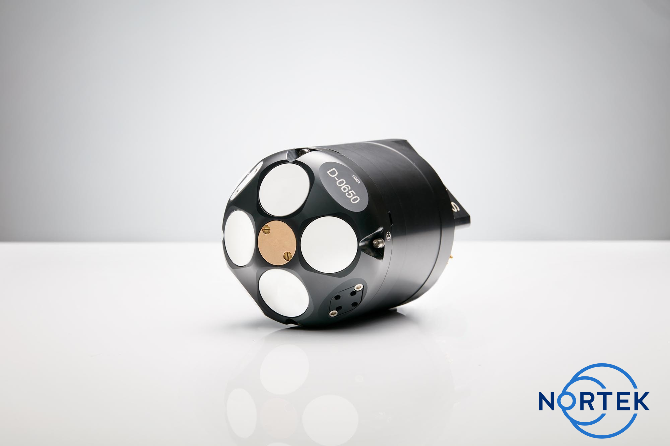
Blueprint Subsea and Nortek are working together to ensure divers stay on course when GNSS signals disappear beneath the surface, where navigation depends on reliable sensors. BluePrint’s Artemis diver navigation systems rely on Nortek DVLs for accurate velocity information.
Diver navigation has long presented a challenge. Ensuring diver safety is crucial, and the consequences of not having reliable navigation and position information are far greater for missions using divers than ROVs or other uncrewed systems. UK-based Blueprint Subsea’s Artemis diver navigation systems are engineered to give operators confidence and control in such situations. Accurate positioning and dead-reckoning navigation capabilities are essential for maintaining situational awareness and keeping divers safe during long-duration underwater missions. Blueprint relies on Nortek’s DVL technology as part of these diver navigation systems to provide accurate velocity information in challenging underwater environments.
The Artemis systems are deployed primarily by two specialist groups in the defense space: Explosive Ordnance Disposal (EOD) divers and combat swimmers. EOD divers must locate, identify, and investigate underwater ordnance and mines. For these divers, precise navigation and positional awareness are critical to safety and mission success. Combat swimmers rely on Artemis to execute covert insertion and extraction missions, navigating accurately to designated targets and returning undetected.
Diver navigation powered by Artemis and Nortek DVL
As part of the Artemis navigation system, the DVL measures velocity relative to the seabed. When integrated into the navigation system, this makes dead-reckoning navigation possible, providing navigation information for divers even in the absence of satellite signals.
As James Colebourn, Technical Sales Engineer at Blueprint Subsea, explains, “Once GPS drops out, the unit seamlessly switches to the DVL, just as any remotely operated vehicle (ROV) would, enabling accurate underwater navigation until the diver resurfaces.”
Blueprint offers a variety of Artemis systems, each equipped with sensors and a DVL according to mission needs. The ArtemisPRO, their most advanced navigation system designed for military and Special Forces divers, uses Nortek’s DVL 1000. The ArtemisSX, which can be used as a diver handheld or paired with a diver propulsion vehicle, uses the DVL 500 Compact. Finally, the ArtemisELITE, which pairs the navigation system with SUEX diver propulsion units and requires the longest range, uses the DVL 500.
The relationship between Blueprint and Nortek began when Blueprint sought to evolve a smaller GPS-float device into a more capable diver system. “We explored many different options and Nortek’s DVLs offered the best performance and quality,” says Colebourn.
Today, Blueprint uses OEM versions of Nortek’s DVLs, allowing Blueprint to streamline integration with the system without sacrificing precision.
“Initially we chose Nortek for quality, but as the partnership matured, Nortek supported the customization we needed,” adds Colebourn.
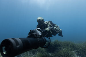
Close collaboration with Nortek engineers at the Nortek’s headquarters in Norway, as well as local technical support from Nortek’s team in the United Kingdom helped Blueprint refine its designs through continuous feedback and testing.
The future of diving and underwater robots
The underwater domain is evolving at an unprecedented pace, and underwater vehicles can perform an increasing number of jobs historically performed by divers. Yet, despite these advancements, the team at Blueprint firmly believes that divers will remain indispensable.
“Robots can do many things, but some missions still require people in the water,” Colebourn notes. “There will always be tasks that demand human judgment, adaptability, and touch.”
To ensure safety and capability of these divers, technology like Blueprint’s DVL-aided diver navigation system will be crucial. Using robotic systems in conjunction with divers will reduce risk and improve efficiency, without sacrificing the human experience and skill that comes with specialized divers.
Blueprint and Nortek aim to continue their collaboration to meet the needs of divers and operators to execute challenging and sensitive missions. Reliable underwater navigation from systems like the Artemis is non-negotiable for these users, and is only made possible by advanced navigation sensors like Nortek DVLs.
Learn more at https://www.nortekgroup.com/knowled
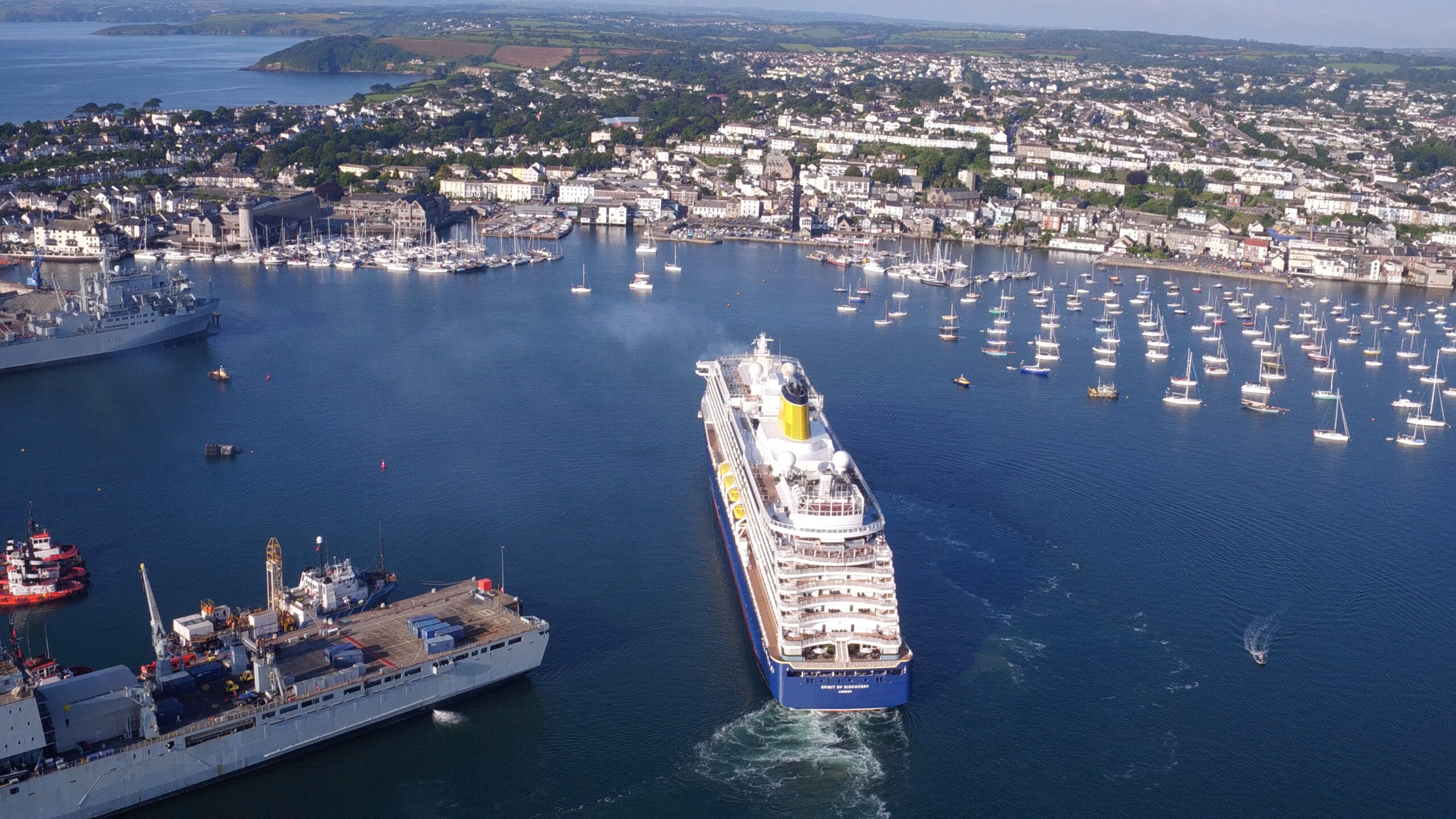
Cornwall Marine Network hits milestone of 5,000 new jobs
 Cornwall Marine Network has hit a significant milestone as it announces it has created 5,000 new marine sector jobs in the region.
Cornwall Marine Network is a not-for-profit marine trade organisation that supports marine businesses in Cornwall UK through a unique combination of innovation support, skills training and apprenticeships as well as securing grant funding to help businesses grow.
CEO Paul Wickes MBE said: “There is no other privately owned non-profit marine network in the UK or Europe that has achieved the size, scale and impact that we have. Since 2005, we have attracted more than £42 million of direct investment into Cornwall’s marine sector and as a result we have supported businesses to create 5,000 new jobs through our funded projects and our pioneering apprenticeship scheme. We have also worked in partnership with national colleagues and over 90 European project partners to share best practice.”
Chris Shirling-Rooke MBE, CEO of Maritime UK, said: “This is a monumental achievement for Cornwall Marine Network and a powerful example of the vital role regional clusters play in the UK's thriving maritime sector. Hitting the milestone of 5,000 new jobs is a testament to the dedication, innovation, and impact of their work. I congratulate the team for their amazing work in driving economic growth and skills development in the region. We at Maritime UK are delighted to see this success.”
Richard Parkinson, CEO of Inyanga Marine Energy Group, based in Cornwall, said: “Cornwall Marine Network has helped us secure funding to seize the fast-growing global opportunities in renewable ocean energy. Our innovative tidal energy technology, HydroWing, is set to deploy in projects around the world, including at Morlais in Wales and the first tidal energy plant in Southeast Asia. We are also expanding in Canada and France.”
Another business supported by Cornwall Marine Network is Keynvor MorLift Ltd (KML), Falmouth-based marine contractors specialising in shoreline, coastal and offshore services and operations. Awarded a capital grant by Cornwall Marine Network in 2016, KML purchased Falmouth Wharves, a rare deep-water site in Falmouth Harbour which enabled the company to grow significantly, initially creating 39 new well-paid jobs. As the company has continued to expand, a further 50 jobs have been created.
KML Managing Director Diccon Rogers said: “Acquiring the site at Falmouth Wharves was the catalyst for our subsequent national and international growth and we will always be grateful for the support from Cornwall Marine Network which has been pivotal to our success.”
Jayne Kirkham, Member of UK Parliament for Truro and Falmouth, said: “Cornwall Marine Network is a vital catalyst for Cornwall’s marine sector, helping to deliver the UK government’s ambitions for economic growth. Their outstanding achievements have already created over £700 million of Gross Value Added to Cornwall’s economy and they are continuing to raise the bar. For example, their new pre-apprenticeship scheme, which delivers training to young people at marine employers’ premises while they are still at school, is a groundbreaking scheme that will nurture the talent of the future.”
Paul Wickes adds: “Because Cornwall Marine Network is owned by its 370 marine business members, any profits are put back into initiatives to drive growth for these businesses. Hitting the milestone of 5,000 new jobs is very much a joint achievement.
“It is also proof that our business model works. We are looking forward to working with partners to roll our exciting model out across the UK and further afield.”
IQUA Robotics participation in REPMUS 2025
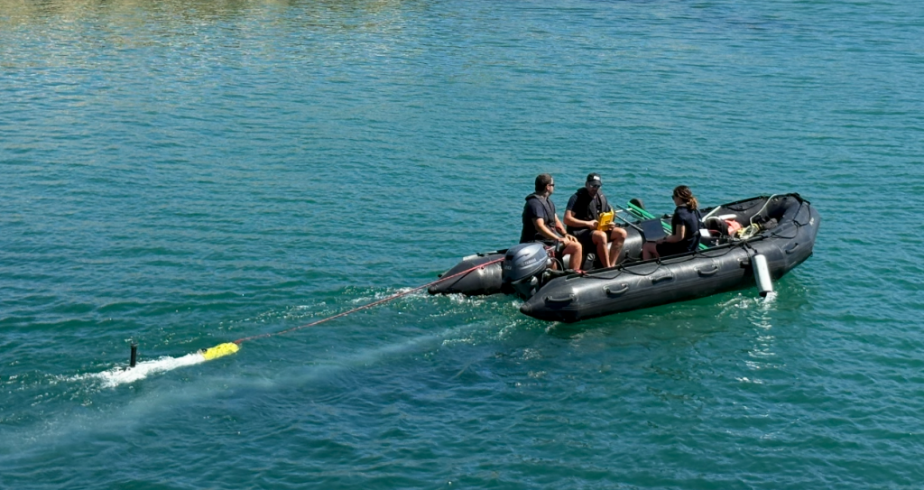
Robotic Experimentation and Prototyping using Maritime Uncrewed Systems – exercise took place one more year in Lisbon’s southern coastal area during September 2025, hosted by the Portuguese Navy. With the participation of multiple NATO countries, this experimental setup allows different market stakeholders to test their technologies in several realistic scenarios.
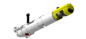
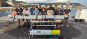
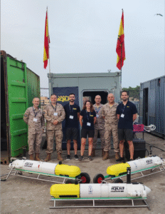
For the fourth year in a row, IQUA Robotics participated in REPMUS25 at the invitation of the Spanish Navy. The company deployed its SPARUS II UUV in two key exercises: mine countermeasures (MCM) and critical underwater infrastructure (CUI). Besides, the team collaborated with the Spanish Navy, the US Navy and Thales Group to test interoperability capabilities in the framework of STANAG 4817.
Setup
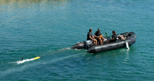
This year, IQUA participated in REPMUS with SPARUS II equipped with a forward-looking sonar (FLS) from Blueprint Subsea, a multibeam echosounder (MBES) from Norbit, and a vision system developed by IQUA Robotics in the payload area.
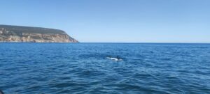
The vehicle used had the following advanced capabilities:
- Automatic target detection on low-frequency FLS images.
- Real-time planning of reacquisition trajectories upon a detection.
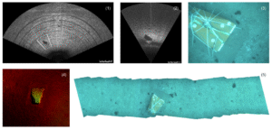
- Multimodal contact mapping: acoustic imaging with high-frequency FLS, 3D profiles with the multibeam sonar, and optical imaging of inspected contacts.
- Onboard generation of optical maps of inspections for rapid review at the end of a mission.
- STANAG 4817 for interoperability.
- Semi-automatic APP-11 report generation.
MCM scenario: detection, reacquisition and identification
Motivation
Mine Countermeasure (MCM) operations are critical for ensuring the safety and freedom of navigation in both military and civilian maritime domains. Advanced MCM capabilities enable the detection, classification, and neutralization of these threats, reducing operational risk and protecting human lives and assets.
With the increasing complexity of mine designs and the expanding use of unmanned systems, there is a growing need for innovative technologies that combine efficient area coverage, accurate target identification, and rapid decision-making. Autonomous vehicles equipped with multimodal sensors and intelligent algorithms offer a transformative approach to MCM, enabling faster and more effective detection and classification of underwater threats.
Approach
IQUA Robotics’ SPARUS II vehicle tested its approach for mine detection and identification, by conducting multiple surveys in the designated naval mine warfare areas of REPMUS25 exercise.
The MCM approach is designed to combine detection and reacquisition in a single mission. For each task, a predefined survey trajectory was programmed to cover the area while scanning with the FLS at low frequency. An automatic detector was responsible for identifying potential contacts in the incoming FLS images, pausing the predefined trajectory, and replanning in real time a reacquisition manoeuvre to collect close-range data on the potential contact, including optical camera images, high-frequency FLS images, and multibeam profiles. After each reacquisition, the vehicle resumed the predefined path and continued scanning for additional potential contacts until the trajectory was completed. With this approach, by the end of the mission, the vehicle has collected all the necessary information to perform identification of the detected objects.
The onboard capability to generate optical maps of the inspections proved to be particularly useful. This allowed the reacquired areas to be quickly reviewed as soon as the vehicle surfaced, enabling the confirmation of potential contacts at a glance without the need to download all the inspection images and identify the ones that passed over the target in question.
CUI: detecting, tracking and mapping
Motivation
Monitoring underwater critical infrastructure is essential for national security and economic stability. Subsea cables, pipelines, and energy systems form the backbone of global communications, finance, and energy supply, making them prime targets for sabotage or disruption. Their remote and often complicated locations, combined with the technical complexity and high costs of reaching underwater areas, make them difficult to protect and, as a consequence, highly vulnerable.
Advanced technical monitoring—using sensors, autonomous underwater vehicles, sonar, and real-time data analytics—enables early detection of tampering, natural hazards, or system failures. These capabilities allow for rapid response to minimize damage and maintain operational capacities. As undersea technologies evolve, safeguarding these assets through technical innovation also becomes a critical element of geopolitical competition, ensuring nations can protect vital networks, deter threats, and preserve trust in the systems that underpin modern society.
Approach
IQUA Robotics’ SPARUS II vehicle tested its approach for cable detection and tracking in the designated shallow CUI area during the REPMUS25 exercise.
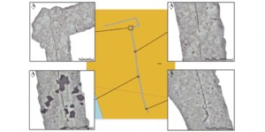
In this edition, unlike previous years where sonar-based detectors were used, a new optical detector and tracker was evaluated for the localization and mapping of a cable within the designated area using camera images.
An initial low-density “lawn-mower” survey was programmed to cover the area, with the goal of crossing and locating the cable. At a certain point during this mission, the vehicle detected the cable in the incoming images, and tracking was automatically activated without human intervention. The vehicle then followed the cable in one direction until reaching its end, adjusting along slight bendings to maintain it in sight. Subsequently, the mission was repeated with the tracking behavior in the opposite direction, achieving a complete mapping of the cable. After the mission, all collected data was used to generate a map where all the cable can be seen. A total length of 280m was automatically tracked and mapped.
STANAG 4817 interoperability
Motivation
The primary motivation for STANAG 4817 is to enable multi-domain control of unmanned systems across NATO by establishing a common, interoperable framework for command and control (C2) of unmanned aerial, surface, and underwater vehicles (UxV). This standard facilitates the coordinated operation of diverse unmanned platforms by a single operator or a distributed network of operators, which is crucial for complex, multinational operations in compromised environments and for improving mission effectiveness, data sharing, and overall interoperability within the alliance.
In this year’s REPMUS, the SPARUS II UUV was upgraded to use the latest available STANAG 4817 protocol specification, enabling not only status reporting but also allowing it to be tasked by third-party assets. STANAG 4817 interoperability was successfully validated through two separate tests with the United States Navy and the THALES Group, in which SPARUS II acted as the vehicle for target reacquisition and identification.
Approach
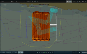
In the first case, the US MK18 REMUS vehicle was used to scan two areas with potential targets. During the operation, a reacquisition task in the first area was issued via the 4817 protocol. Upon reception at IQUA’s control station, a mission was automatically generated for SPARUS II to reacquire the designated contacts. A key aspect of this collaboration was the rapid response time and task parallelization: in less than 20 minutes from task reception, SPARUS II had reacquired the two contacts and captured optical images confirming their nature, while the detection vehicle continued scanning the remaining assigned areas.
Similarly, a collaboration was carried out with THALES. Using their M-Cube Mission Management system, SPARUS II was tasked with reacquiring four contacts in a specific area. The task was received while the vehicle was in transit, and IQUA’s system automatically planned a reacquisition trajectory to cover all contacts.
Summary
IQUA Robotics successfully participated in REPMUS 2025, deploying its SPARUS II UUV in mine countermeasures (MCM) and critical underwater infrastructure (CUI) exercises. Once again, collaboration with the Spanish Navy enabled us to participate and achieve successful results. SPARUS II, equipped with advanced sonars and a vision system, demonstrated automatic target detection, real-time reacquisition planning, multimodal contact mapping, and onboard optical map generation in MCM scenarios. For CUI, a new optical detector and tracker enabled autonomous cable localization and mapping, with 280m of cable successfully tracked. Additionally, IQUA Robotics validated STANAG 4817 interoperability by integrating the SPARUS II with US Navy’s MK18 REMUS and THALES Group’s M-Cube system for target reacquisition and identification, showcasing rapid response and task parallelization in a multinational setting.
Fugro completes surveys for Italy’s Rimini offshore wind farm development
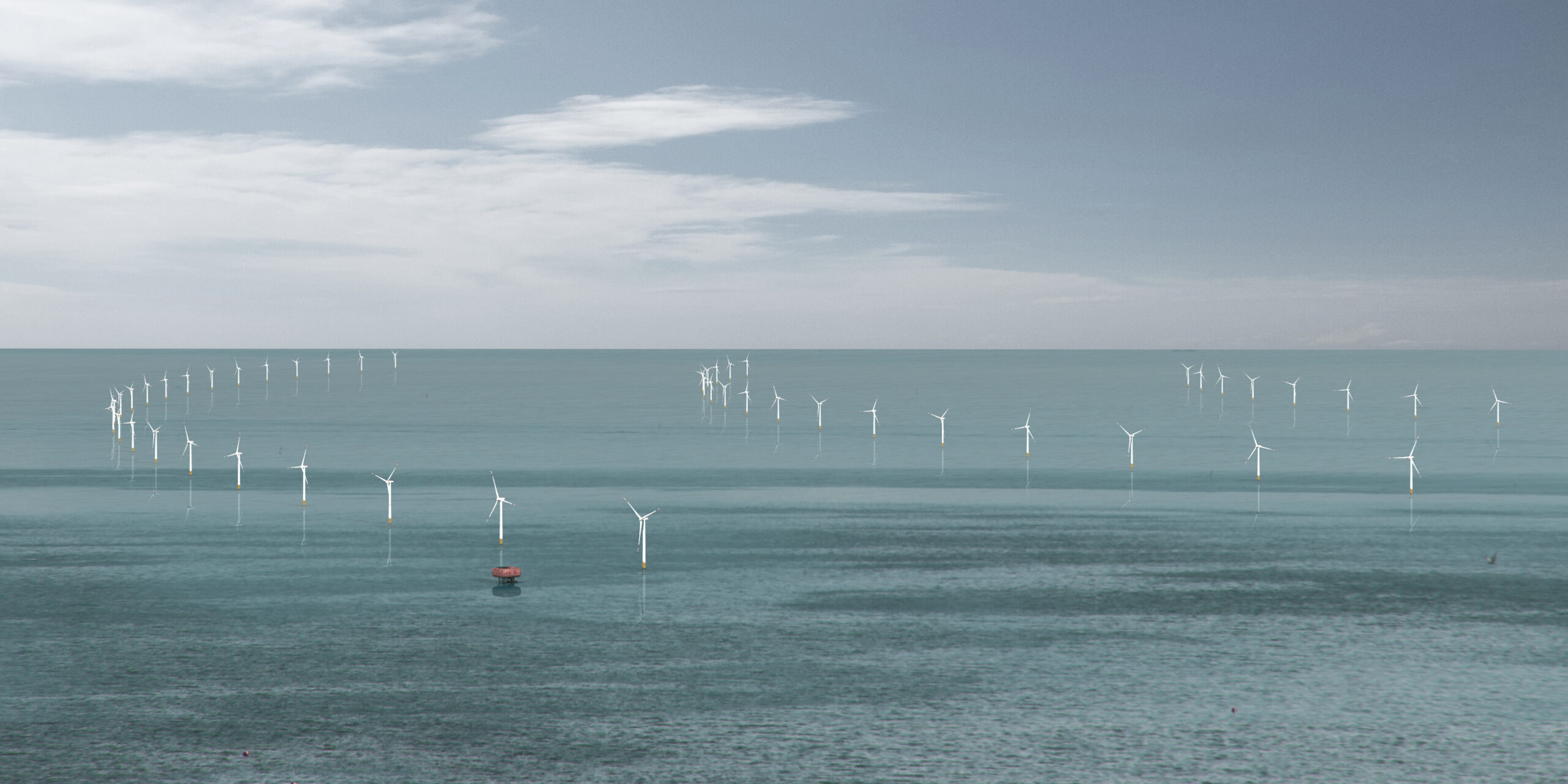
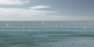 Fugro has completed geophysical and archaeological surveys for Energia Wind 2020 to support the development of the Rimini offshore wind farm. As one of Italy’s first fixed-bottom offshore wind initiatives, the 330 MW project represents a major step forward in the country’s energy transition. Fugro’s Geo-data will be key to selecting optimal cable routes and informing engineering designs for the wind farm’s infrastructure, helping reduce project risks and enabling safe, efficient, and environmentally responsible development.
Successfully delivered in October 2025, the survey covered both the wind farm site and the export cable corridor, located approximately 12 nautical miles off the coast of Rimini in the Adriatic Sea. Fugro deployed two dedicated vessels to accelerate data acquisition and ensure efficient coverage of the area. This dual-vessel strategy enabled high-resolution mapping of the seabed and subsurface conditions, using ultra high-resolution shallow seismic data and geophysical investigations, while also identifying and preserving potential archaeological features critical to the project's planning and permitting process.
“Fugro delivered a highly professional and efficient survey and consultancy service, meeting all our technical requirements within the planned timeline and budget. Their expertise and responsiveness were key to the success of this phase of the project,” said Gabriele Felappi, CEO of Energia Wind 2020.
Daniela Taliana, Fugro’s Country Manager for Itay, added: “We are extremely proud of our close collaboration with Energia Wind 2020 and of our contribution to the development of one of Italy’s first fixed-bottom offshore wind farms. This project marks an important step in the country’s renewable energy journey, and Fugro is committed to supporting its success through world-class expertise and high-quality Geo-data acquisition.”
This contract reinforces Fugro’s growing presence in the Italian offshore wind sector and its dedication to enabling sustainable energy infrastructure across Europe.
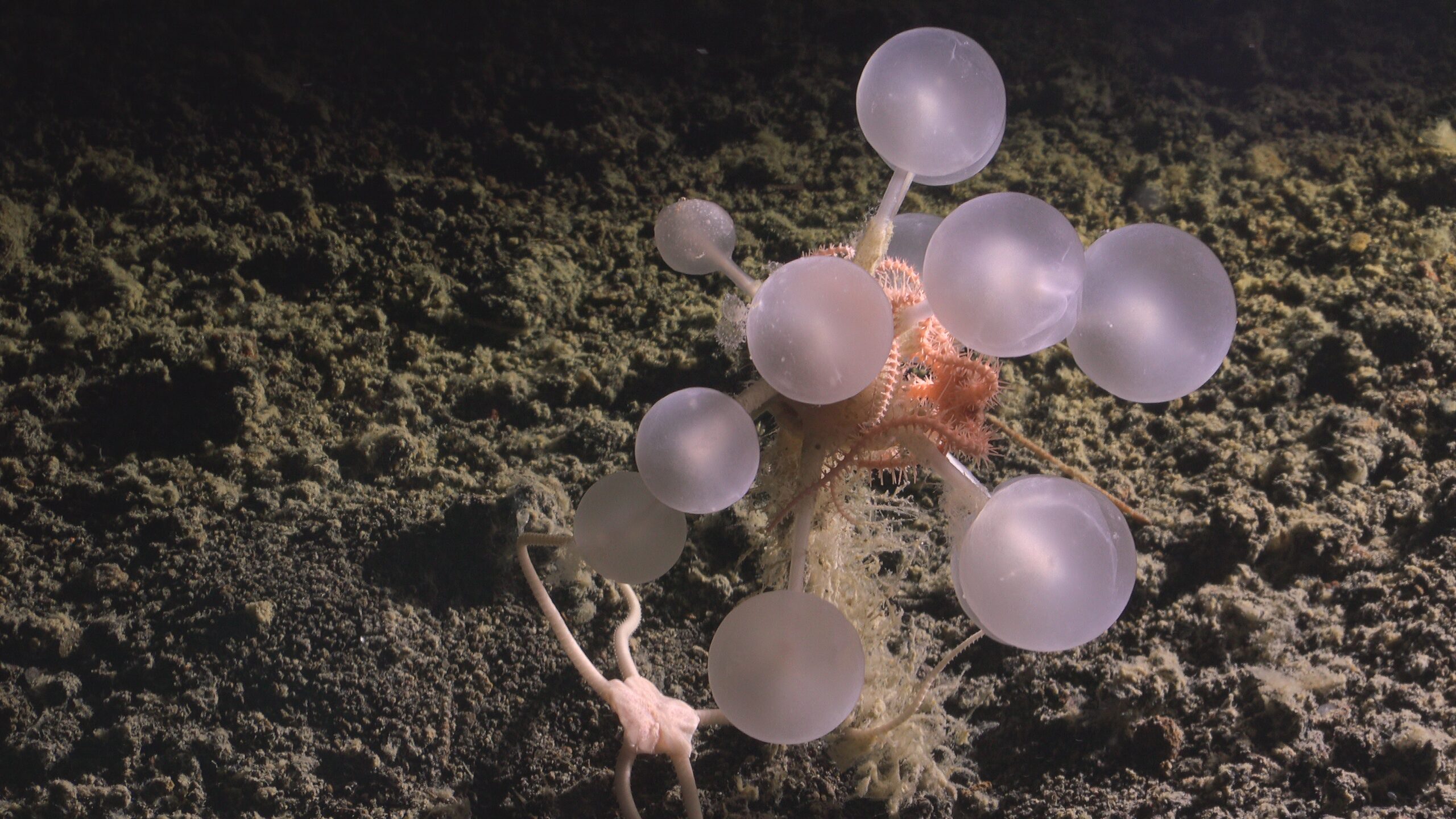
Carnivorous “Death-Ball” Sponge Among 30 New Deep-Sea Species from the Southern Ocean
Thirty previously unknown deep-sea species, including a carnivorous “death-ball” sponge, have been confirmed from one of the most remote parts of the planet by The Nippon Foundation–Nekton Ocean Census and collaborators. The discoveries follow two 2025 research cruises with Schmidt Ocean Institute and were verified at the Southern Ocean Species Discovery Workshop hosted by Universidad de Magallanes, Punta Arenas, Chile (August 2025).
With Halloween on the horizon, a standout discovery is a new predatory sponge (Chondrocladia sp. nov.). Its spherical form is covered in tiny hooks that trap prey, a clear contrast to the gentle, passive, filter-feeding undertaken by most sponges. ‘Zombie worms’ (Osedax sp.) were also observed. Although not thought to be new to science, these worms have no mouth or gut and rely on symbiotic bacteria to break down fats inside the bones of whales and other large vertebrates.
“Accelerating species discovery is not a scientific luxury, it is essential for public good,” said Mr Mitsuyuki Unno, Executive Director of The Nippon Foundation, who leads Ocean Census with the Nekton Foundation. “Ocean Census is a program with the goal to reveal the unknowns of our world. Through its expeditions, we have seen another groundbreaking species discovery that benefits the world’s scientists, policymakers and communities.”
Searching for New Species in the South Sandwich Islands was an Ocean Census Flagship expedition onboard Schmidt Ocean Institute’s R/V Falkor (too) using ROV SuBastian to survey volcanic calderas, the South Sandwich Trench, and seafloor habitats around Montagu and Saunders Islands. The team collected nearly 2,000 specimens across 14 animal groups (phyla), alongside thousands of high-definition images and hours of video. Highlights include new hydrothermal vents at ~700 m with chemosynthetic communities, vibrant coral gardens, evidence of explosive undersea volcanism, and the first confirmed footage of a juvenile colossal squid.
In addition, three researchers from the Ocean Census Science Network supported an expedition onboard R/V Falkor (too) in the Bellingshausen Sea. When iceberg A-84 (≈510 km²) calved from the George VI Ice Shelf in January 2025, the ship pivoted to the newly exposed seabed, becoming the first to investigate an area previously sealed beneath ~150 metres of ice.
 “The Southern Ocean remains profoundly under-sampled. To date, we have only assessed under 30% of the samples collected from this expedition, so confirming 30 new species already shows how much biodiversity is still undocumented,” said Dr Michelle Taylor, Head of Science at The Nippon Foundation-Nekton Ocean Census, “By coupling expeditions with species discovery workshops, we compress what often takes more than a decade into a faster pathway while maintaining scientific rigour by having world experts involved.”
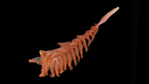
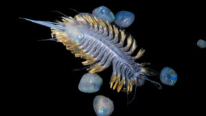
The Southern Ocean expeditions also revealed new armoured and iridescent scale worms (Eulagisca sp. nov.), previously unknown species of sea stars (Brisingidae, Benthopectinidae and Paxillosidae); new crustaceans, including isopods and amphipods, with material under review that may represent a new amphipod family; and rare gastropods and bivalves adapted to volcanic and hydrothermal-influenced habitats. Additional possible new species, among them black corals and a potential sea-pen genus, are undergoing expert assessment.
“Advanced tools — from precise seafloor mapping to high-definition ROV imagery — allow us to explore and gather data from places never seen before by humans,” said Dr Jyotika Virmani, Executive Director, Schmidt Ocean Institute. “The goal we share with Ocean Census to accelerate discoveries has resulted in the first confirmed sighting of a juvenile colossal squid and new species, and exemplifies what becomes possible when technology, ship time, and a global science network work as one.”
At the Southern Ocean Species Discovery Workshop, an international team of taxonomists fast-tracked species verification by triaging, imaging and comparing specimens on site, using targeted DNA barcoding where needed. This ocean-to-lab model is a newer, faster, and more collaborative approach to species discovery for the global community, addressing a common reality in taxonomy—limited funding and capacity mean samples can sit unprocessed for years.
“This is exactly why the Ocean Census exists—accelerating the discovery of ocean life and making it openly available,” added Dr Taylor, who is also a world-leading expert in deep-sea corals and senior lecturer at University of Essex. “Each confirmed species is a building block for conservation, biodiversity studies, and untold future scientific endeavours.”
Polar deep-sea ecosystems remain profoundly under-sampled yet are central to understanding evolution, biogeography and resilience in our rapidly changing climate. The Ocean Census’ accelerated species discovery model generates open, high-quality biodiversity evidence to support taxonomy, conservation planning, and future research. All confirmed records meeting the Ocean Census ‘Discovered’ criteria will be curated in the open access Ocean Census Biodiversity Data Platform.
Images: New iridescent scale worm and Sea pen species found during the expedition.
Credit: The Nippon Foundation-Nekton Ocean Census/Schmidt Ocean Institute © 2025
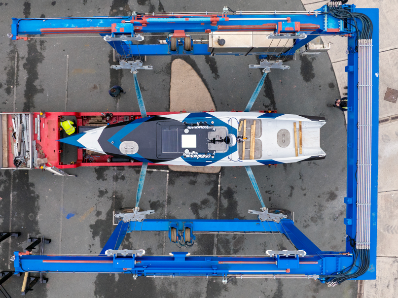
ZeroUSV expands autonomous fleet with third Oceanus12 in ‘dazzle’ livery
 British autonomous vessel pioneer, ZeroUSV has completed its third Oceanus12 Uncrewed Surface Vessel (USV), marking a key milestone in expanding its growing autonomous fleet, available for outright purchase or charter.
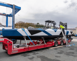
The new vessel, features striking geometric livery inspired by the dazzle camouflage used by the Royal Navy in the early 20th century. Designed not for concealment but to distort visual range finding and course estimation, the historic pattern has been reimagined to celebrate the fusion of naval heritage and modern maritime innovation.
The completion of the third Oceanus12 reinforces ZeroUSV’s commitment to long range autonomous vessels and accelerates the provision of a COTS (Commercially off the shelf) USV solution which can be set up with integrated payloads for UWW (Underwater warfare ops) in the defence sector or hydrographic survey equipment for the commercial Hydrography market. Oceanus12 is truly use platform, agnostic of its mission.
Matthew Ratsey, managing director of ZeroUSV, said: “Inspired by the bold dazzle camouflage of the First World War, a geometric pattern designed to distort perception and conceal a ship’s course, Dazzle fuses naval heritage with the forefront of modern maritime innovation. Following on from our significant success with her sistership at Exercise REPMUS it seemed appropriate and timely to use this paint scheme for our next vessel off the production line.”
The Oceanus12 is controlled using software from MarineAI’s GuardianAI autonomy suite, delivering COLREG-compliant navigation, adaptive decision-making, and remote mission control, as well as integration of third party payloads.
Key Specifications:
• Hull: 11.55m aluminium monohull (2.33m max beam)
• Propulsion: Twin electric-hybrid drive • Endurance: 2,500+ nautical miles at 6 knots
• Payload: 1-tonne adaptable bay with quick-change sensor deployment strut
• Green Credentials: Extremely low-fuel electric hybrid system with solar charging for added redundancy.
Currently being commissioned and shortly entering sea trials, Oceanus12, hull number 3 will join the operational fleet alongside ZeroUSV’s first two Oceanus12 vessels which are currently in operation in Plymouth UK, and with Leeway Marine in Halifax, Canada.