
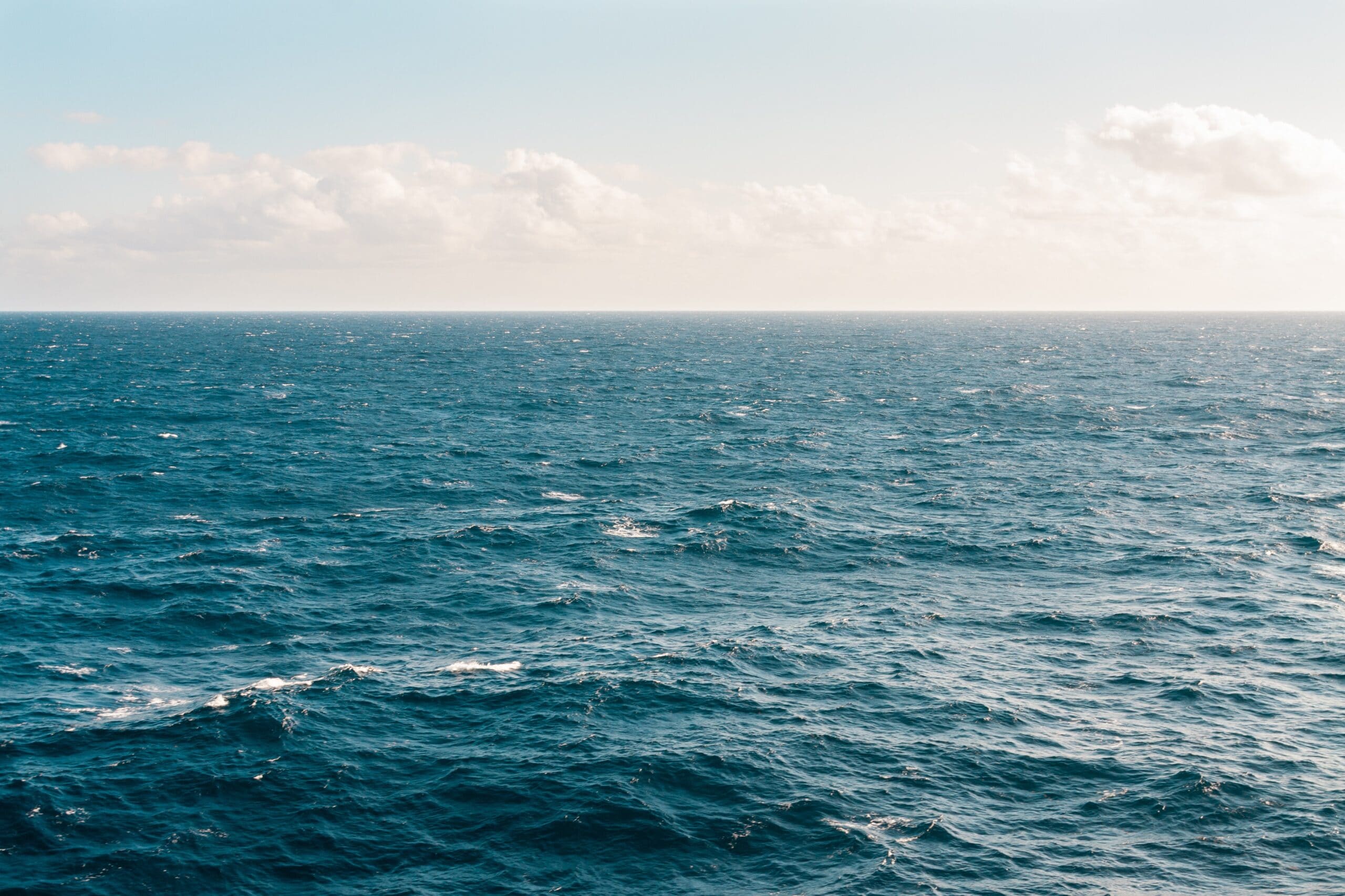
A project monitoring the water quality during the renovation of the old warehouse city of Hamburg - a heritage resting on aged oak poles - is managed by MacArtney Germany.
 As of 2015, the world's largest complex of warehouses, Speicherstadt Hamburg (warehouse city, Hamburg), is a UNESCO World Heritage Site. Speicherstadt's beautiful neo-gothic red-brick architecture and winding network of streets, fleets and bridges erected into the Elbe river is an 'extraordinary example of representing the value of trade in Hamburg during its foundation.
The Speicherstadt, built between 1885 and 1927, rests on thousands of oak poles that have deteriorated over time due to a slow advancing bacterial decomposition and indentation of the fleet bed as a result of an expanded tide difference.
Renovation work is necessary to prevent the poles from sinking towards the fleets, including bed reconstruction arrangements raising the fleet bed by 0.5 to 1.5m and supply of bearing sand. Furthermore, the bed is stabilised with cement.
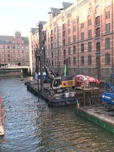
Incorporating these measures - a process ranging from Fall 2020 to Summer 2021 - necessitates an accompanying water quality monitoring, especially controlling and remedying any impacts on the water quality caused by the cement placement.
For this purpose, nine EXO1 Multiparameter Sondes from US manufacturer YSI are placed in different locations close to the ground on the existing fleet poles. The EXO 1 Sonde measures temperature, conductivity, pH value, dissolved oxygen content and turbidity every 5 minutes over several days and time sequences. The sondes feature internal data storage and power supply for autonomous operating.
MacArtney Germany was commissioned to take on the supply of the multiparameter sondes, including a measurement and service concept for the project and all planning plus execution of the water quality measuring. This involves regular calibration and maintenance of the sondes in the in-house workshop, data provision and installation and de-installation of the sondes on-site.
Working in the fleets requires flexibility and swiftness. The environment is tide dependent, generating relatively short time windows following the water level. The water quality measurements were conducted throughout the renovation work, with brief interruptions for calibration, processing and data evaluation.

Marine robotics to help uncover hidden link in glacier melting
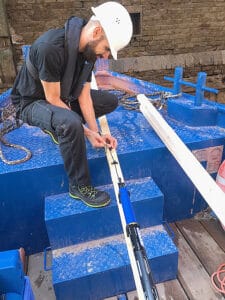
On Friday 13th August 2021, Marine scientists deployed robotic vehicles on a dangerous mission to the face of a glacier in Svalbard as they attempt to expose the hidden link in how rapidly melting Arctic ice is changing our ocean.
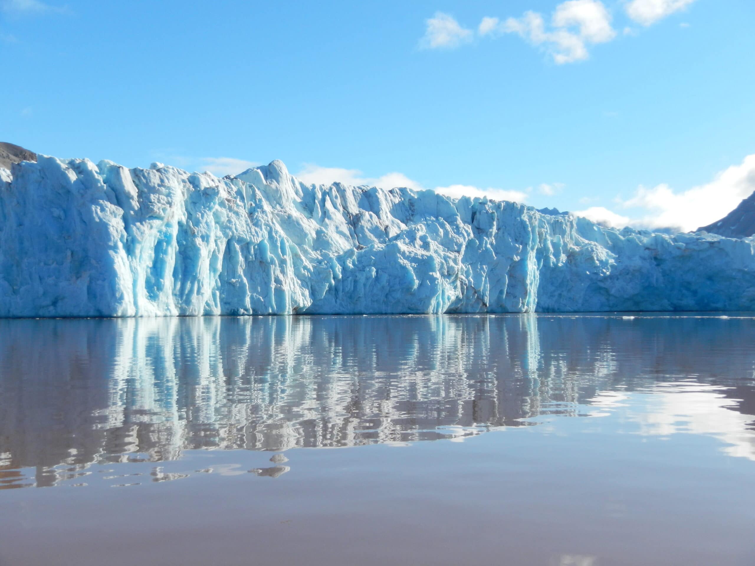
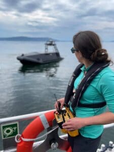 The mission to Ny Ålesund, the world’s most northerly settlement, is a collaboration between the Scottish Association for Marine Science (SAMS), UiT The Arctic University of Norway, the Norwegian Polar Institute and University Centre on Svalbard. The team will examine the Kronebreen glacier in Kongsfjorden, measuring the freshwater run-off as it melts, and assessing how it interacts with the saltier sea water coming into the fjord from the North Atlantic.
Humans are unable to sample at the glacier face because of the risk of huge chunks of ice collapsing into the sea below, a process known as glacier calving.
Instead, the team will use an autonomous surface vehicle (ASV) built by Norwegian company Maritime Robotics, to record various oceanographic measurements at the face of the glacier, while an autonomous underwater vehicle, known as an ecoSUB, will take temperature, salinity and oxygen readings below the surface. Meanwhile, aerial drones will survey the so-called freshwater ‘plumes’ that run off from the glacier.
Lead scientist Prof Finlo Cottier of SAMS said:
“Fjords are the connection between the changing ocean and our rapidly melting northern glaciers. The transfer of heat and water at these points, often just a few kilometres wide, are therefore extremely important in understanding how climate change is impacting our ocean.
However, as these areas are too dangerous to survey fully and too small to be picked up on global ocean models, the interactions between fjords and glaciers have not been sufficiently represented in ocean and climate predictions. We need to know much more about the fresh water coming into the ocean: How much is there? Where does it end up? How does it move?It would simply be too dangerous to go into such a hostile and remote environment with a boat. Not only is there a risk of falling ice, but large-scale calving causes huge waves, so it is a dangerous place. That is where the robotic systems come into their own, working at the front line of Arctic science.”
While rising global temperatures increase glacial melt, glaciers are also breaking up below the surface of the water. In a process known as sub-glacial discharge, melt water flows down through the glacier and out into the ocean. This water is fresher than the surrounding sea water, so starts to rise in the water column, creating a plume that pulls in warmer Atlantic water which increases the melt rate at the face of the glacier. This process undermines the wall of ice, causing huge chunks to collapse into the sea.
The marine robotics deployed by the team will collect crucial data to improve our understanding of this process.
The mission is scheduled to last seven days and the team, which includes SAMS Prof Mark Inall and University of the Highlands and Islands PhD student James Coogan, will be based in Ny Ålesund, making daily visits to the glacier.
SAMS has close links with project partner UiT The Arctic University of Norway: Prof Cottier has an adjunct professorship at the Norwegian institute, while UiT’s chief technician for the ASV Dr Emily Venables was previously part of the SAMS robotics team.
Oceaneering and DDK Positioning Sign Service Agreement Enhancing C-Nav® Positioning Solutions’ Offerings
Oceaneering International, Inc., and DDK Positioning Limited announced the companies have entered into an agreement for the provision of GNSS (Global Navigation Satellite System) augmentation service and all associated software and hardware supporting Oceaneering’s C-Nav® Positioning Solutions group offerings.
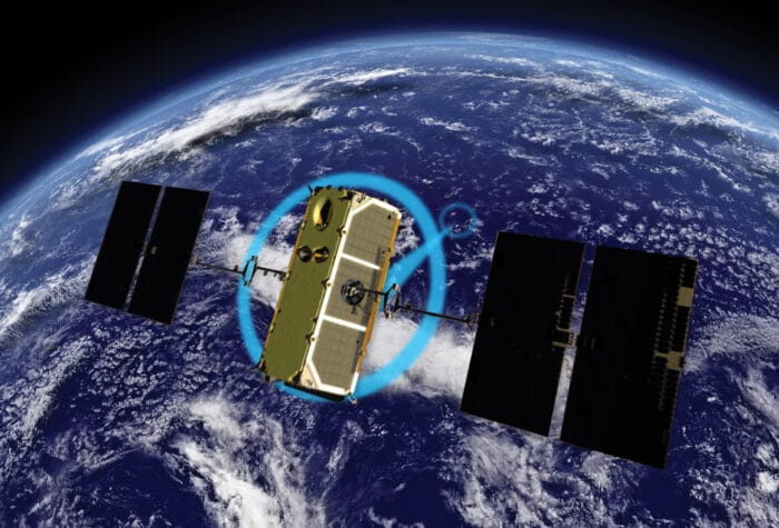
DDK Positioning’s services are delivered exclusively through the Iridium® satellite communications network coupled with hardware developed by partner Topcon. This pairing of cutting-edge hardware and advanced communication infrastructure will enhance the ability of Oceaneering’s customers to precisely position their assets globally. This unified solution offers several benefits to Oceaneering’s positioning customers including, two-way communication enabling machine control and feedback, and redundancy to cover potential signal losses.
From launch, DDK Positioning will provide its MAX service to Oceaneering clients, which can achieve accuracy to less than 10 cm (2 Sigma). The MAX service uses both GPS, Galileo, and GLONASS constellations with further systems to be added within a year.
Eric Smith, Director of Survey Services at Oceaneering, said:
“There have been significant advances made in communications infrastructure and satellite positioning technology over the last several years. With this agreement, Oceaneering will be able to offer enhanced positioning technology allowing us to build on our strong industry track record while continuing to serve the positioning needs of our clients now and into the future.”
Kevin Gaffney, CEO at DDK Positioning said: “We are absolutely delighted to have signed an agreement with Oceaneering to provide our precise and reliable GNSS positioning solution to Oceaneering’s customers in the maritime energy industry.
“This agreement demonstrates the need for an alternative GNSS augmentation service that increases the reach of services from Pole to Pole, with the added benefit of Iridium’s resilience and reliability. We are looking forward to working with Oceaneering to enhance their service and product portfolio while delivering market leading services for many years to come.”
Learn more: oceaneering.com/positioning-solutions
Embedded Software Engineer
Embedded Software Engineer (£40k - £45k)
Company Profile
GeoAcoustics Limited design and manufacture world-class SONAR equipment for Sidescan, Bathymetry and Sub-Bottom Profiling applications in marine and river environments. Founded in 1978 and operating from the main site in Gt Yarmouth, we supply customers worldwide with our innovative range of high quality products and services. Our ambitious growth plan has generated an exciting opportunity for a talented embedded software engineer to join our development team, responsible for contributing to the design and testing of new additions to our product line.
Job Profile
You will work within our development team, designing new SONAR products, taking ideas from concept through to fully production-engineered and manufacture-ready solutions. You will develop embedded software/firmware for various applications including demanding real-time data acquisition. You will have a strong knowledge of digital signal processing, algorithm development and high efficiency coding techniques. You will also be required to develop, update, and maintain various utility programs which support product use configuration and testing.
Your responsibilities will include:
- Carrying out software engineering tasks (both embedded and application)
- Software design, coding, debugging, profiling, troubleshooting, and testing
- Create and/or contribute to design, production and user documentation
- Modelling sonar acquisition systems and helping explore possibilities for future products
- Work with other engineers to perform product integration, system testing, acoustic measurements and offshore trials
- Providing technical assistance to internal and external customers if/when required
- Working within an ISO9001-accredited quality management system
- Complying with GeoAcoustics’ values and adherence to all company policy and procedures, including Health & Safety and Environmental Management
In addition to the duties and responsibilities listed, the job holder is required to perform other duties assigned by their manager from time-to-time, as may be reasonably required of them.
Qualifications
Essential skills and qualifications for this role are:
- Degree or equivalent in software engineering
- Minimum of 5 years’ experience developing embedded systems or other hardware orientated software
- Strong technical, analytical, problem-solving and time management skills
- Coding in C/C++ (ranging from hardware specific C to fully object orientated C++)
- Ability to write Windows based utility applications in C++ using both Qt and Visual Studio
- Coding efficiently for high-speed applications (using concurrency, multithreading etc.)
- In depth communication protocol knowledge (including SPI, I2C, Ethernet (TCP & UDP) & RS232)
- Good knowledge of DSP techniques (e.g. downsampling, mixing, various filter types, etc.)
- Proficient in MATLAB (signal processing)
- Knowledge of scripting languages such as Tcl, lua and windows batch
- Good technical documentation skills
- Good team player with excellent communication skills
- Willingness to undertake occasional travel within UK and overseas to support customers
- You must have the right to live and work in the UK
Desirable skills:
- Single-board Linux based computer platform deployment
- High-level Synthesis FPGA implementation
- PIC microcontroller development (using MPLAB XC and/or CCS compilers)
- Analogue and digital peripheral circuit design
- Previous experience of realtime data acquisition systems
- Knowledge and experience of SONAR equipment and applications
Working for GeoAcoustics Limited
This is a full-time permanent role and you will be working from the main site in Gt Yarmouth, Norfolk. At GeoAcoutics Limited we are committed to investing in its people and you will benefit from the following:
- Excellent remuneration ( up to £45K depending on experience)
- 25 days holiday allowance plus statutory bank holidays
- Flexi-time with the ability to take an additional day’s leave/month
- Private medical insurance
- Pension with matched contributions up to 8%
- Death in service benefit
Please apply via CV and covering letter to [email protected]
Closing data is Friday 13th August 2021
Metocean studies underway for first floating wind farms in Welsh waters
A metocean study supporting the design of the first floating offshore wind (FLOW) projects in Welsh waters is underway.
Blue Gem Wind (BGW), a joint venture between Simply Blue Energy and TotalEnergies, is the developer behind two Celtic Sea floating offshore wind projects, Erebus and Valorous.
BGW has appointed ABPmer to deliver the certifiable metocean design bases to inform front end engineering design (FEED) and Detailed Design for both projects. This includes the production of fully calibrated spectral wave and hydrodynamic hindcasts.
Heidi Roberts, Head of Modelling and Physical Processes at ABPmer, said;
“Alongside our physical process work to support the consenting of Erebus, we are thrilled to continue working with BGW on these exciting projects.“
“We will refine our existing models using ABPmer’s SEASTATES hindcast database, enabling us to fully represent the regional oceanographic conditions and nearshore processes, providing a bespoke 40-year hindcast of both hydrodynamics and waves. Detailed metocean analysis will then be completed on the calibrated hindcast and metocean design bases produced.”
The study will provide extreme and operational metocean criteria for the array and export cable corridors for both projects, with delivery in late summer 2021.
ABPmer’s metocean consultants use the global SEASTATES hindcast models and extensive suite of metocean analysis software to support projects worldwide.
More information www.metocean.com

Kraken Completes Acquisition of PanGeo
Kraken Robotics Inc. (“Kraken” or the “Company”), Canada’s Ocean Company, is pleased to announce that it has completed the acquisition of PGH Capital Inc. (the “Acquisition”) on terms previously disclosed in the Company’s press release dated July 20, 2021. PGH Capital operates its business through its subsidiaries, PanGeo Subsea Inc. and PanGeo Subsea Scotland Limited (collectively with PGH Capital, “PanGeo”). PanGeo is a services company specializing in high-resolution 3D acoustic imaging solutions for the sub-seabed with offices in St. John’s, Newfoundland and Aberdeen, United Kingdom. Upon closing, PanGeo is now a wholly owned subsidiary of Kraken Robotic Systems Inc. Under Kraken’s ownership, PanGeo will continue to operate as a trusted name in sub-seabed imaging and will complement Kraken’s turnkey offering of high-resolution subsea imaging services.
Karl Kenny, Kraken President and CEO said, “We are pleased to have completed this acquisition and to welcome the PanGeo employees to the Kraken team. Together we offer a holistic solution of world-leading technologies and services in subsea acoustic and optical imaging, autonomous robotics, and subsea batteries for customers in the defense and commercial markets. We are also excited for the increased exposure to the offshore renewable energy market and believe we can bring technologies to bear that will drive down customer costs, improve safety, and reduce their emissions footprint.”
The Acquisition constituted an “Expedited Acquisition” in accordance with TSX Venture Exchange Policy 5.3 – Acquisitions and Dispositions of Non-Cash Assets. All common shares issued in connection with the transaction are subject to a restriction from trading for four months and a day from the date of issuance.
In connection with the acquisition, Kraken’s Board of Directors has approved the issuance of 1,000,000 options to an officer of PanGeo. These options have a five-year term and an exercise price of $0.50 per common share.
UPDATE ON BOUGHT DEAL OFFERING
In connection with the Company’s previously announced “bought deal” short form prospectus offering of units (the “Offering”), the Company paid the syndicate of underwriters led by Canaccord Genuity Corp., and including Raymond James Ltd., Desjardin Securities Inc., Beacon Securities Limited, and Research Capital Corp., an aggregate commission of $600,000, equal to 6.0% of the gross proceeds from the Offering.
LINKS
www.krakenrobotics.com


Pete Craigmile Joins Teledyne Marine Americas Sales Team

Teledyne Marine is pleased to announce that Pete Craigmile has joined the organization in the key role of Technical Sales Manager for OEM accounts in the Americas. Pete will serve as the primary sales contact and technical liaison for customers in the US and Canada that integrate Teledyne Marine’s technology into their own products. Teledyne Marine’s vast portfolio of industry leading products and technology have led to an increasing number of OEM customers, driving the need for this new role to ensure complete customer satisfaction.
Pete is a graduate of James Madison University, and has spent the majority of his career at Hilti Inc., where he served in a number of advancing roles spanning product management, sales, business development and strategic planning. Pete’s extensive hands on sales experience, combined with his technical background, and experience in key and strategic account management, make him an idea candidate to tackle this critical role.
Matt Burdyny, Vice President Strategy & Business Development, adds: “Teledyne Marine’s products have long been the technology of choice for integration into vehicles and other marine platforms. With our expanding portfolio and increasing customer base, it’s essential we provide our customers with a dedicated Teledyne resource to partner on delivering a Teledyne Marine solution, while ensuring their continued satisfaction. Pete’s expertise in key and strategic account management positions him well to serve our customers in an ever more challenging environment. I look forward to seeing Pete grow and succeed alongside our customers.”
Pete Craigmile shares:
“I am looking forward to working with Teledyne Marine as the industry leader in marine instrumentation. This team is built up of true professionals, and I’m excited to be working along-side them to provide our OEM customers with the best possible experience.”
About Teledyne Marine
Teledyne Marine is a group of leading-edge subsea technology companies that are part of Teledyne Technologies Incorporated. Through acquisitions and collaboration, Teledyne Marine has evolved into an industry powerhouse, bringing Imaging, Instruments, Interconnect, Seismic, and Vehicle technology together to provide total solutions to our customers.
New the Multibeam Echosounder from Teledyne RESON pushes the boundaries of technology
Teledyne Marine introduces revolutionary and unrivalled true 800 kHz technology with new SeaBat T51-R Multibeam echosounder from Teledyne RESON.
Detailed knowledge of the shape of the seafloor is crucial to humankind. Bathymetry data is critical for safety of navigation, environmental considerations, charting, and many other applications.
Teledyne Marine has de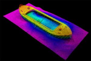 veloped a revolutionary multibeam echosounder which offers outstanding performance, mapping in greater details than ever seen before. The unrivalled true 800 kHz technology offers high-frequency resolution without compromising swath coverage, giving up to 150 degrees full swath width allowing for superior efficiency and short survey turn-around time.
The new SeaBat T51-R from Teledyne Marine pushes the boundaries of what is technically possible. It is the latest addition to our class-leading portfolio of marine survey solutions. Built on the renowned SeaBat T-series technology crafted from decades of sonar experience, the SeaBat T51-R helps you drive efficiency onboard with fast throughput of exceptionally clean data and precise imagery.
We have combined groundbreaking new technology, autonomous features, unprecedented data quality and swath performance, all with the focus on ease of use and short survey turn-around time, so you can optimize use of resources and manpower.
The new SeaBat T51-R will provide unparalleled details of seabed topography and will thus take your bathymetry data to a whole new level.
For more information, visit www.teledynemarine.com/SeaBat-T51-R or contact Uni Bull, Senior Product Manager at [email protected]
About Teledyne RESON
Teledyne RESON provides a range of high quality underwater acoustic hardware and software solutions. SeaBat is the undisputed leading multibeam echosounder and is used as the preferred sonar in offshore, marine, defense, dredging and other hydrographic applications.
About Teledyne Marine
Teledyne Marine is a group of leading-edge technology companies that are part of Teledyne Technologies Incorporated. Through acquisitions and collaboration, Teledyne Marine has evolved into an industry powerhouse, bringing Imaging, Instruments, Interconnect, Seismic, and Vehicle technology together to provide total solutions to our customers.
iXblue announces strategic partnership with RDML Tim Gallaudet to strengthen its growing presence in the U.S.
iXblue, Inc. and iXblue Defense Systems announced today that they have formed a strategic partnership with Rear Admiral (RDML) Timothy Gallaudet through his marine technology consulting agency, Ocean STL Consulting. With this partnership, iXblue and RDML Tim Gallaudet will be advancing iXblue’s growing market presence in the U.S. in the fields of maritime autonomy, navigation and positioning for both defense and the private sectors.
“Tim is a great addition to our teams. He brings a nationally recognized reputation and record of success at the highest levels of government, academia, and the private sector.” States Marine Slingue VP at iXblue, Inc. “His comprehensive technical knowledge of oceanography and navigation, as well as extensive experience in the field in the US Navy and with NOAA will be of great value to iXblue.”
RDML Tim Gallaudet recently retired from the National Oceanic and Atmospheric Administration (NOAA), where he served as the Assistant Secretary of Commerce for Oceans and Atmosphere and Deputy Administrator, advancing the American Blue Economy activities that pushed forward marine transportation, sustainable seafood, ocean exploration and mapping, marine tourism and recreation, as well as coastal resilience.
Before joining NOAA, he served for 32 years in the U.S. Navy, completing his service in 2017 as the Oceanographer of the Navy. His lifelong commitment to education, science, service, and stewardship has brought him a wealth and knowledge and a stellar reputation. RDML Gallaudet holds a Bachelor’s Degree from the U.S. Naval Academy and a Master’s and Doctorate Degree from Scripps Institution of Oceanography, all in oceanography.
“RDML Tim Gallaudet has been at the forefront leading the efforts to advance science and technology strategies for Artificial Intelligence and Unmanned Systems.” States Ted Curley, President and General Manager at iXblue Defense Systems. “His knowledge of the maritime industry and his familiarity with iXblue makes him a perfect partner in our goal to strengthen and grow our presence in the U.S. defense market.
“Marine mapping is critical to advancing our understanding, the health, and the sustainable use of our oceans, and iXblue brings a capability to do this like none I have ever seen,” said RDML Gallaudet. “As a lifelong champion of ocean science and technology, I could not be more thrilled to partner with iXblue.”
More info www.ixblue.com
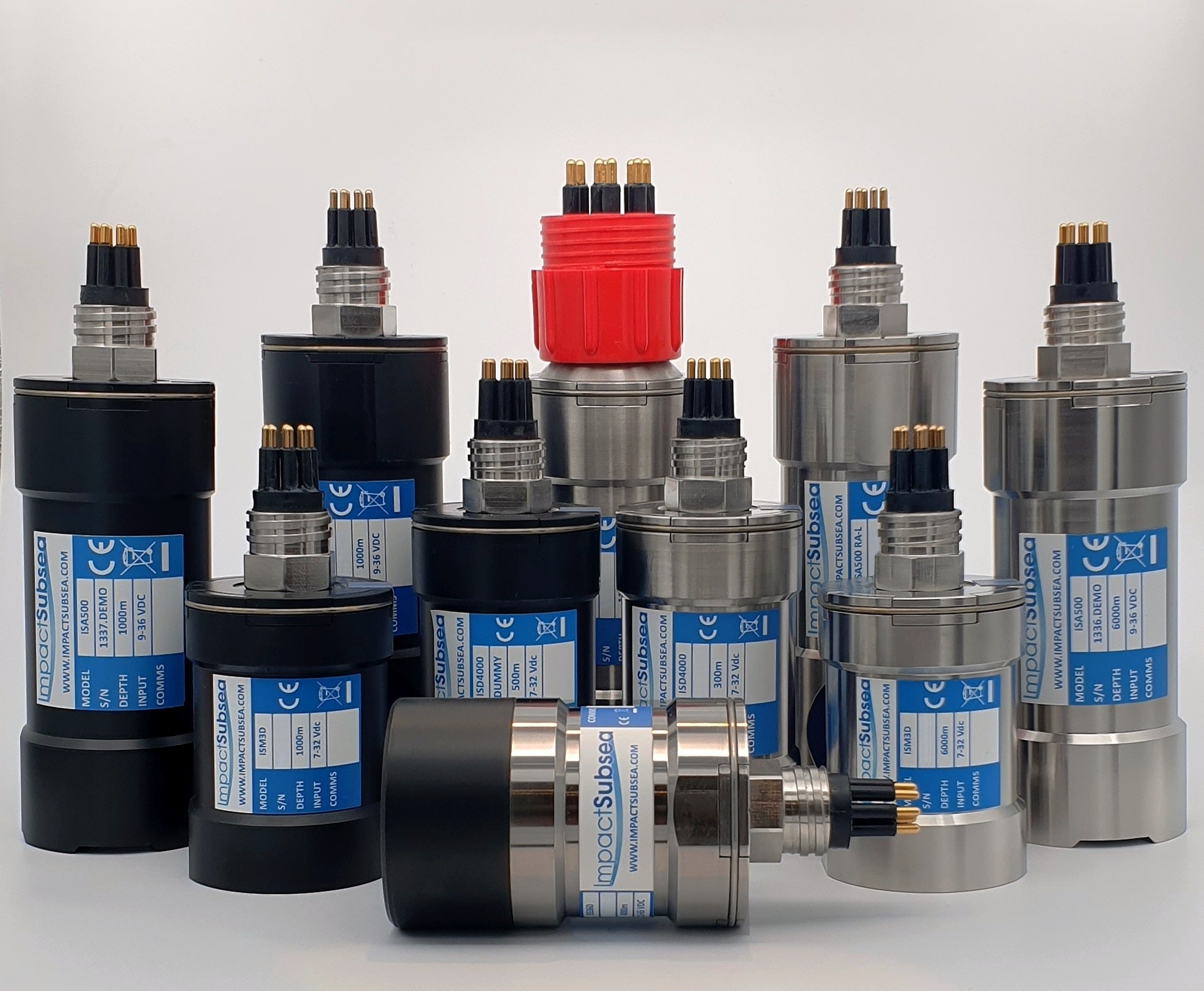
Duo of Distribution Agreements
Impact Subsea is delighted to announce the appointment of two new companies as distributors of Impact Subsea sensor solutions.
Norwegian Offshore Rental has been appointed as a distributor within Norway and Seismic Asia Pacific within Australia.
Headquartered in Haugesund, Norwegian Offshore Rental are leading providers of rental equipment within the offshore, subsea and renewable energy industries. NOR’s vision encompasses providing quality product and services with a strong customer focus. Their vision and skills will provide excellent support to Impact Subsea’s Norwegian Client base.
Jostein Jansen, Sales Manager, NOR commented:
“NOR is pleased to add Impact Subsea sensor solutions to our large equipment selection. Their range of quality ROV and AUV sensors align with our mission to provide dependable and effective equipment to our customers in Norway and around the world.”
Established in 1959, longstanding equipment providers; Seismic Asia Pacific provides both hardware and software equipment and solutions for Hydrographic, Oceanographic, Geophysical and Navigation Systems within Australia. With additional offices throughout South East Asia and the Pacific Rim, the team at Seismic Asia Pacific will play a key role in the sales and support of Impact Subsea’s expanding customer base.
Paul Duncan, Executive Director, Seismic Asia Pacific comments:
“With the increasing move towards remote and autonomous systems to carry out various marine survey works and applications. Impact Subsea and their range of high quality ideally sized sensors and product lines adds beneficial solutions for our industry and complement our product offerings.”
Ben Grant, Managing Director, Impact Subsea further commented:
“To provide excellent regional support for our range of ROV and AUV sensors Impact Subsea continues to expand our distributor network. We are delighted to welcome Norwegian Offshore Rental and Seismic Asia Pacific at a time of strong growth in their respective markets. The technical support provided by these two well respected companies will be of significant benefit to Impact Subsea sensor users”.
---
Impact Subsea design and manufacture innovative underwater Sonar, Altimeter, Depth, Range, Heading, Motion and Temperature sensing solutions. The company also provides a range of underwater housings and a state of the art Flooded Member Detection system. Impact Subsea's solutions are used on underwater Remotely Operated Vehicles (ROV), Autonomous Underwater Vehicles (AUV) and in numerous standalone underwater applications. All sensors are extremely robust, small form factor, high reliability and lead the market in technical capability. To learn more please visit www.impactsubsea.co.uk