
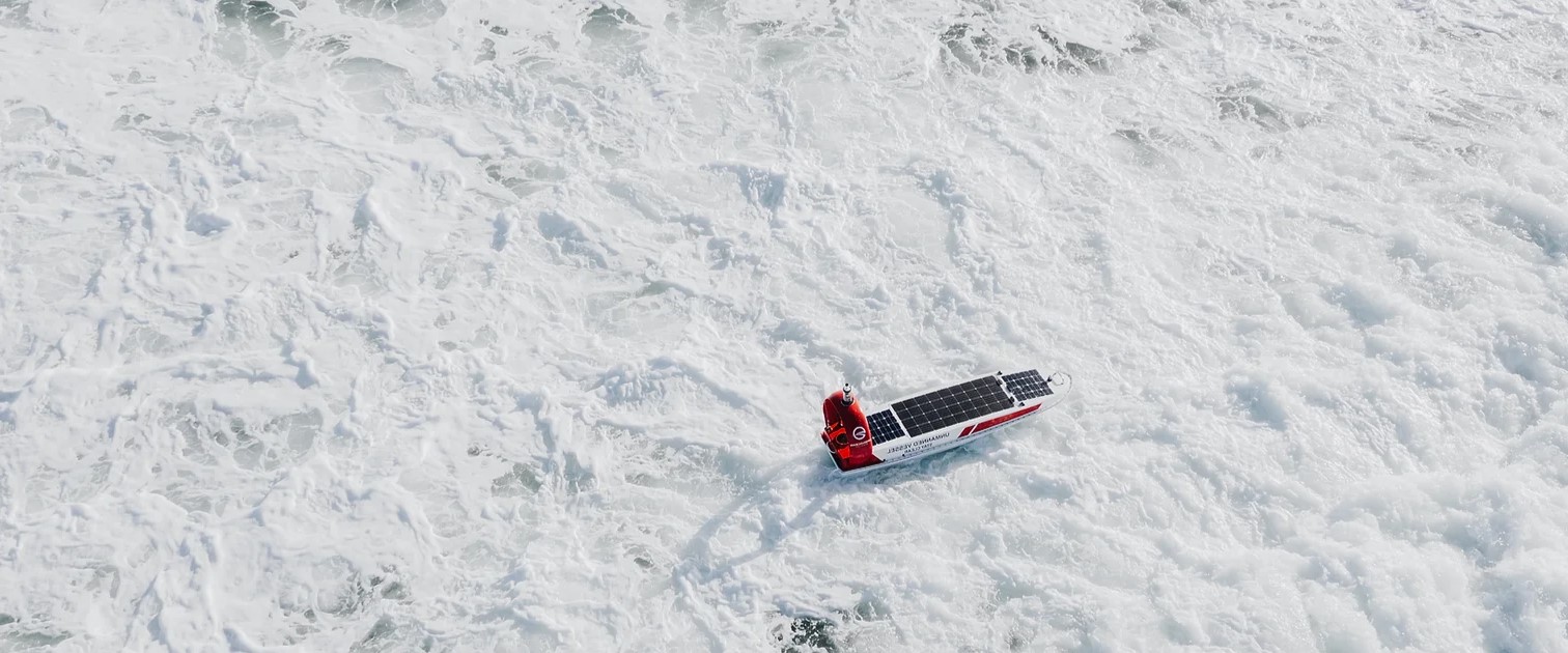
Open Ocean Robotics Closes $2.8M Investment Round to Further Scale Commercial Operations for Sustainable Ocean Monitoring
 Open Ocean Robotics (OOR), a maritime robotics and AI company transforming ocean monitoring, announced today the close of a CA$2.8M investment round.
The round was co-led by Antares Ventures, a Singapore-based deep-tech venture fund focused on sustainability challenges in Southeast Asia, and Spring Impact Capital, a Canadian impact venture fund, with participation from Katapult Ocean, Alacrity Canada, DTN Ventures, individual investors, and PacifiCan.
The funds will support product and technological advancements, geographic expansion into Southeast Asia, and scaling manufacturing of its uncrewed surface vehicles (USVs). To advance its innovative solutions in Southeast Asian markets, OOR is currently participating in the PIER71 Smart Port Challenge, an initiative of the Maritime and Port Authority of Singapore and the National University of Singapore.
“This investment from leading global impact investors underscores their confidence in our company and our vision for sustainable, cost-effective, and scalable ocean monitoring,” says Julie Angus, CEO and co-founder of OOR. “With this funding, we will expand our ability to help maritime companies and agencies achieve safe and secure ocean monitoring through real-time data provided by our USVs and AI systems.”
As the first woman to row across the Atlantic Ocean from mainland to mainland, Julie’s deep connection to and understanding of the world’s oceans has guided OOR’s success. Their USVs have been used to safeguard marine protected areas against illegal fishing, protect endangered whale populations, and help restore maritime biodiversity.
 Traditionally, monitoring coastlines and open waters required fixed assets on shore, satellites, crewed ships, or aircraft, which were expensive, labor-intensive, and polluting. OOR provides safe, affordable, sustainable, and scalable ocean monitoring solutions that are solar-powered, allowing their uncrewed surface vehicles to operate at sea for months at a time, collecting data with a suite of sensors without producing GHG emissions, noise pollution, or risking oil spills.
“We are excited to support Julie’s mission to revolutionize and decarbonize ocean monitoring through advanced technology,” says Michael Gryseels, Founder and Managing Partner of Antares Ventures. “Open Ocean Robotics' solutions empower private and public organizations with safer, more affordable, and sustainable coastal and open ocean oceanographic and maritime data collection, enhancing marine resource understanding and preservation for a sustainable future.”
“Spring has been supporting Open Ocean Robotics since 2019, when we first saw how Julie Angus was delivering on a compelling vision for the future of ocean data and the impact it can have on all facets of marine and land life,” says Keith Ippel, Spring Impact Capital Managing Partner and Spring Co-CEO. “We’re excited to help her scale her company with measurable success and impact.”

Ashtead Technology to acquire Seatronics and J2 Subsea
Ashtead Technology, a leading provider of subsea technology and services, announces it has signed an agreement to acquire Seascan Limited and its subsidiaries (known as Seatronics), and its sister company J2 Subsea Limited, international subsea electronics and ROV tooling rental and services businesses for £63m from Acteon Group. The transaction remains subject to customary closing conditions including approval of the Competition and Markets Authority.
 This latest acquisition, the ninth in seven years, will further expand Ashtead Technology’s capabilities in the global survey & robotics rental market. Seatronics and J2 have operations in Singapore, UAE, UK and US, providing subsea electronics and tooling products and services to the global offshore energy market. Together they support the installation, inspection, maintenance & repair, and decommissioning of subsea oil & gas and renewable energy infrastructure
The highly complementary acquisition will increase the breadth and depth of Ashtead Technology’s survey & robotics rental fleet and services, bringing a highly skilled employee base of 110 people with significant domain knowledge and technical expertise, adding more than 7,000 proprietary assets increasing Ashtead Technology’s rental portfolio by 30%.
Allan Pirie, Chief Executive Officer of Ashtead Technology, said:
“Seatronics and J2 are businesses we have known for a long time. With our most recent acquisitions focussing on expanding our mechanical services capability, this latest acquisition strengthens our international footprint and capability within our Survey & Robotics market. We look forward to welcoming new colleagues to Ashtead Technology and increasing the wealth of in-house expertise as a larger Group, creating a world leading subsea survey and robotics team”.
Brice Bouffard, Chief Executive Officer of Acteon, added:
“Upon closing, this transaction will be the next important step in focusing our service portfolio to achieve Acteon’s long-term strategic goals. Seatronics and J2 have been an integral part of our business for many years and I’m very pleased to see both teams moving together to such a dynamic new home at Ashtead Technology. Acteon is committed to optimising our portfolio to better serve our customers and stakeholders as we support the evolving offshore energy market”.
This significant investment is part of Ashtead Technology’s commitment to delivering high-quality subsea technology and services, supporting customers across the offshore energy sector.
Teledyne Marine Launches Intrepid – A GNSS/Inertial Navigation System
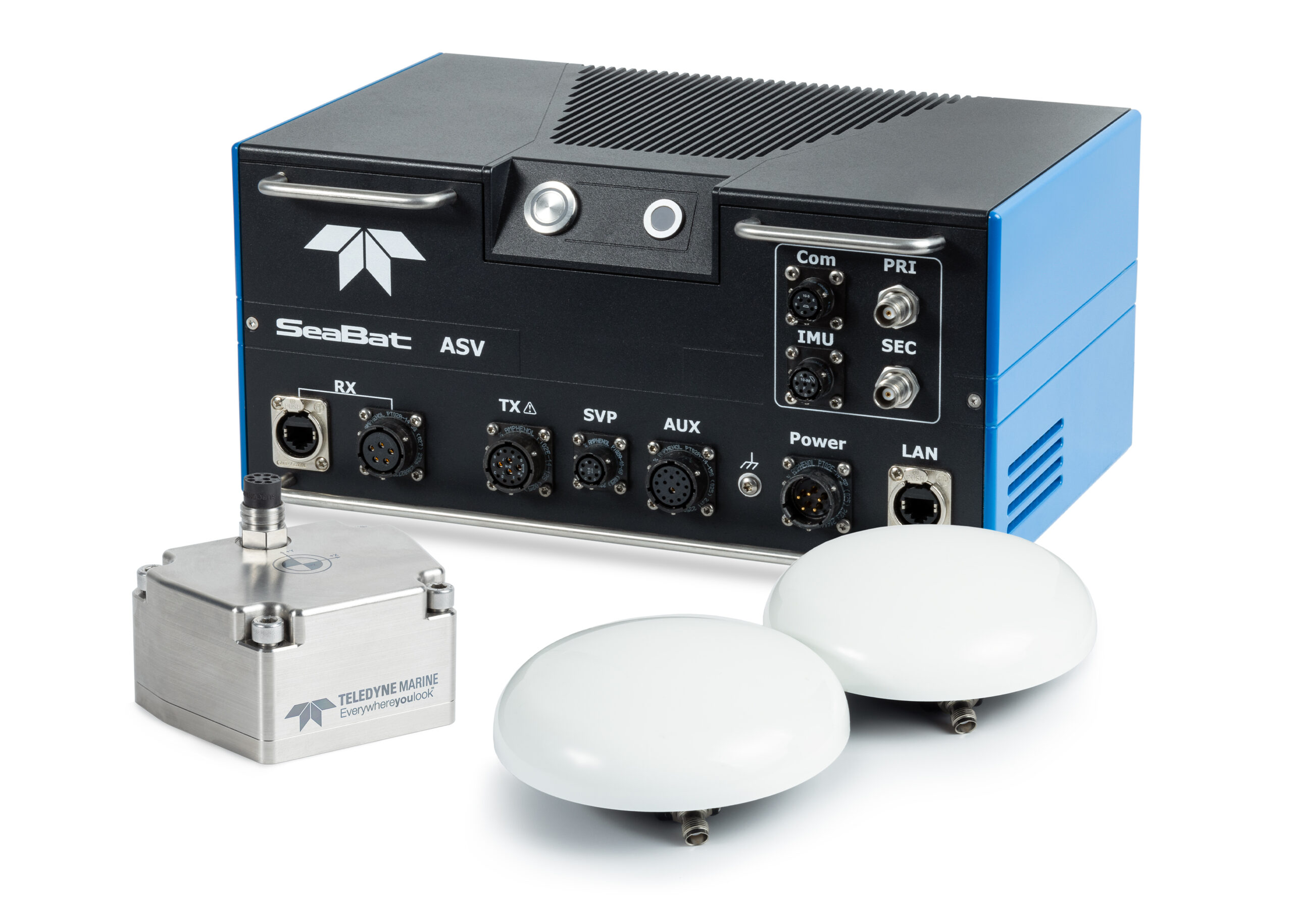
 Teledyne Marine is excited to unveil the Intrepid, a GNSS/Inertial Navigation System. The system is integrated with the SeaBat T20-ASV processor and comprises a compact inertial measurement unit (IMU) and two GNSS antennas, delivering reliable and precise positioning.
With the Intrepid on board, no manual interfacing between sensors is required, as the system automatically streams data to third-party software. This eliminates the need for manual sensor interfacing and reduces downtime.
Teledyne Marine’s unified approach combines hardware and software into one single, intuitive interface for monitoring and controlling the mapping system. Moreover, the centralized system streamlines firmware and software updates, providing users with effortless access to the latest features and enhancements. The new Intrepid GNSS/Inertial Navigation System combines immediate feedback with the consistent and precise results of the SeaBat T20-ASV, delivering a seamless mapping experience.
The Intrepid GNSS/INS benefits all users in marine surveying applications by providing the precise navigation necessary for operational efficiency. Due to its intuitive design, it is easy to configure and monitor, allowing even entry-level operators to quickly set up the system and receive immediate feedback on navigational status - essential for dynamic marine operations.
“Teledyne Marine’s Intrepid GNSS/INS is the next step in our line of INS products with a combined GNSS/INS system. What we have done is to integrate the SeaBat Sonar software and the Intrepid software into one software program, making it simple and easy to use for the operators,” says Pim Kuus, Senior Hydrographer and Product Manager Instruments & Imaging at Teledyne Marine.
Uni of Strathclyde Collaboration in Subsea Neuromorphic Object Detection
 Robosys Automation and the UK’s University of Strathclyde have signed a Knowledge Exchange Agreement to support a new project which will explore underwater object detection using neuromorphic sensing.
Robosys is collaborating with the University of Strathclyde’s Department of Naval Architecture, Ocean and Marine Engineering (NAOME) and NSSP (Neuromorphic Sensor Signal Processing) lab from Department of Electrical and Electronics Engineering (EEE), and will also fund the testing of the sensing technology for underwater object detection using novel technologies. The aim of the project is to develop the encoding mechanisms for multimodal data collected through neuromorphic sensors for underwater object detection.
The challenges to underwater object detection include limited optical sensor visibility due to water turbidity and lack of light penetration, combined with interference due to environmental factors such as tides, temperatures and salinity, together with financial implications due to specialized equipment and increased maintenance frequency.
The University of Strathclyde’s Dr Chaitanya Patil, Lecturer in Naval Architecture, Ocean and Marine Engineering is leading the pioneering project, working closely with the EEE Department’s NSSP lab Research Director, Dr. Gaetano Di Caterina. Dr Patil is a specialist in marine system intelligence with a particular focus on modelling and simulation across cutting-edge technologies.
Dr Patil’s current research around intelligent marine systems utilizing advanced machine-learning methodologies lead him to develop the project focused on Neuromorphic sensor fusion for underwater object detection (SENSE) has been facilitated through EPSRC Grant reference EP/X525820/1.
Dr Patil approached Robosys due to the Company’s notable expertise and standing in the field of maritime navigation, autonomy and background in vision systems and associated algorithm development, in order to initiate a collaboration to help propel the research into neuromorphic systems.
The emergence of neuromorphic systems has delivered new methodology to how traditional computation is performed in robotics. Neuromorphic supported intelligence features brain-inspired efficiency, enabling robotics to swiftly and robustly learn and adapt to new scenarios and operations.
Aditya Nawab, Founder, CEO & CTO of Robosys Automation, comments, “We are delighted that Robosys Automation is collaborating with the University of Strathclyde in this exciting and ground-breaking project. As maritime industry innovators, the Robosys’ technical team continually explores novel methods of pushing the envelope. This project with the University demonstrates this, with change detection sensing working hand-in-hand with cooperative and competitive computation for perception and control, which will enable ever-increased learning and problem solving, being essential in the future of a safer, smarter and greener maritime.”
Following the culmination of the initial underwater object detection project, and as a reflection of the significance of the positive impact this technology will bring to the maritime and ocean technologies sectors, it is planned that this project will be further developed by the University’s PhD Students and Researchers in subsequent years.
Fugro extends role in Norway’s 2024 MAREANO programme for seabed mapping with eDNA service
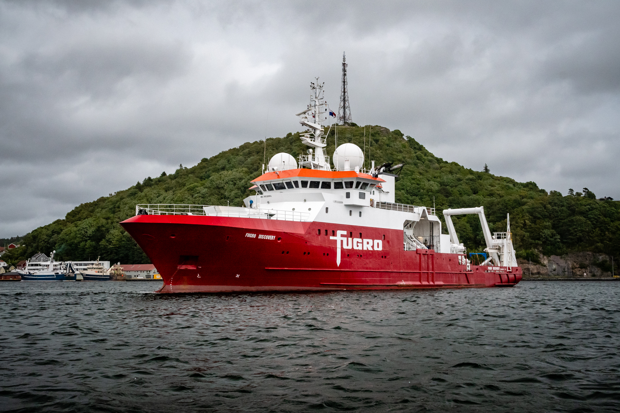
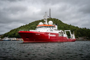 Fugro has completed the survey work for the 2024 MAREANO seabed mapping programme, including an innovative environmental DNA (eDNA) service, as part of a hydrographic survey contract awarded by the Norwegian Hydrographic Service (NHS). Supported by the Central Government of Norway, MAREANO is a multidisciplinary initiative aimed at mapping the seabed to generate scientific information for the responsible management and preservation of Norway’s marine resources.
This year’s survey covered an extensive 2,823 km² region in the North Sea, with water depths ranging from 146 to 337 metres. Using the Fugro Discovery, equipped with high-resolution multibeam echo sounders and sub-bottom data acquisition systems, the primary goal is to gather seamless datasets, integrating bathymetry, water column, and acoustic backscatter data.
Fugro employed cutting-edge sensors and advanced calibration techniques tailored to these challenging conditions. The survey was completed in September and work is now progressing on the final reports and data that will be available via VirGeo®, Fugro's web-based Geo-data platform.
In a first for the programme, Fugro included environmental DNA (eDNA) sampling as part of the survey datasets. This cutting-edge approach provides valuable insights into biodiversity and community composition, which are essential for projects aiming for net biodiversity gain and for monitoring endangered and invasive species. eDNA enhances existing environmental sampling programmes to gain deeper ecological insights, complementing other survey activities such as metocean, geophysical, and geotechnical surveys.
Furthermore, Fugro collected transit data for NHS to share with the European Marine Observation and Data Network (EMODnet). This data will contribute to The Nippon Foundation-GEBCO Seabed 2030 Project, which aims to map the world's entire ocean floor by 2030.
"The last few years, the MAREANO programme has placed emphasis on the North Sea. There is a need for marine knowledge in areas considered as particularly valuable and vulnerable. This marine knowledge is also relevant for the new marine industries – such as offshore wind and offshore aquaculture.” says Nicolien Haasbroek, project engineer for MAREANO in the Norwegian Mapping Authority.
Marc Kebbel, Fugro’s Service Line Director Hydrography for Europe and Africa said, "MAREANO is the largest multidisciplinary mapping programme of its kind in Norway and we are excited to continue our support for the project. Our knowledge of the marine environment and innovative techniques allow us to collect high-quality Geo-Data that deepens our understanding of the seafloor and supports scientific discoveries; to keep our oceans healthy and help manage them sustainably.”
Fugro has a track record of conducting successful surveys for the programme since 2006. To date Fugro has acquired over 140,000 km2 of data under the programme, which has helped Norway improve its understanding of its marine environment and resources.
Teledyne RD Instruments Releases Workhorse Proteus ADCP
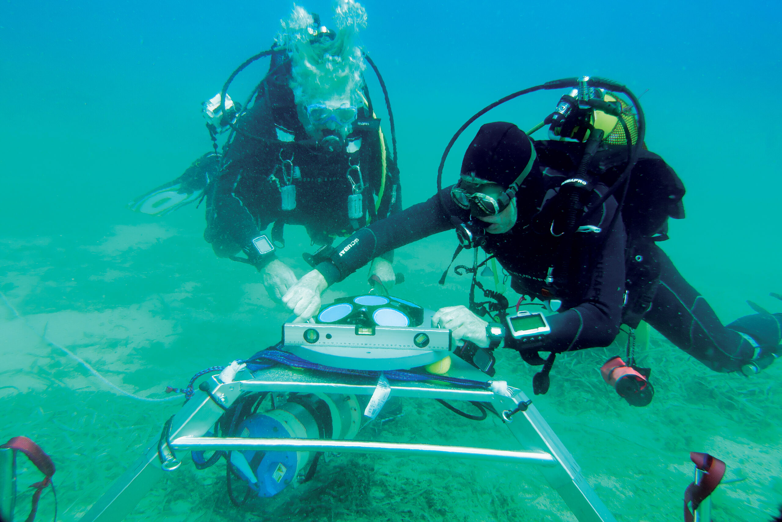
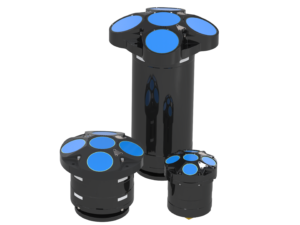 Teledyne RD Instruments (RDI) is pleased to announce the introduction of Workhorse Proteus, the latest and most technologically advanced edition of its industry-standard Workhorse ADCP’s. RDI developed the industry’s first commercially available ADCP in 1982.
With the processing horsepower to simultaneously sample at multiple spatial and temporal scales, Proteus can unlock a new understanding of waves, turbulence, and the changing currents below the surface. Its technical advantages deliver the most data possible with a single instrument. Its features include the Proteus Advanced Doppler Sonar Platform (ADSP) - the most advanced Doppler processing platform; Catalyst Processor for fast processing; new RDI AHRS and dynamic bin mapping; elegant planning software; five beams for direct measurement of ocean’s vertical velocity; versatile deployment options; robust, repeatable broadband techniques; and multiple communication options.
Grant Jennings, Product Line Director of RDI, commented on the new product: “RDI’s engineering and product development team have harnessed our 40 years of Doppler sonar experience to design the perfect ADCP. Our engineers are the best in the industry, and I am thrilled with the final product we will offer our customers.”

COVE's 2024 Ocean Enterprise Report Reveals Significant Growth in Canada’s Marine Sector
 Canada’s New Blue Economy Flourishes as Innovation, Employment, and Revenue Surge in Canada’s Ocean Enterprise, with Promising Developments in AI and Sustainability.
The Canadian Ocean Enterprise has seen remarkable growth, as revealed in COVE’s newly published 2024 Ocean Enterprise White Paper. This report sheds light on the rapid evolution of Canada’s ‘New Blue Economy,’ a business cluster driven by knowledge-based activities that harness marine resources for economic growth. These companies are playing an increasingly crucial role in addressing global challenges like food security, climate change, and energy provision.
The 2024 Ocean Enterprise White Paper outlines substantial growth across key areas—company numbers, revenue, and employment—since the first study conducted in 2020.
From 2022 to 2024, the number of Ocean Enterprise companies surged from 160 to 209, marking a 31% increase. This continues the upward trend observed between 2020 and 2022. Nova Scotia, in particular, emerged as a leader, with its Ocean Enterprise companies growing from 49 to 75—a 53% rise, now housing one in three of Canadian companies identified under this review. While most provinces saw gains, Alberta remained steady.
Key findings from the 2024 report include:
- British Columbia, Newfoundland and Labrador, and Nova Scotia account for 75% of Canada’s Ocean Enterprise.
- Canada's Ocean Enterprise revenue is estimated between $1.8 billion and $2.0 billion, with employment exceeding 8,000 people—representing a 33% increase in jobs and 58% revenue growth since 2020.
- Artificial Intelligence is primarily used for Data Analysis & Management, and Research & Development, with expected growth into environmental monitoring and predictive maintenance, though challenges like ROI uncertainty, technical expertise gaps, and data privacy concerns may slow adoption.
- The maritime sector continues to face challenges in attracting venture capital due to long development cycles and high capital costs, which are misaligned with investor expectations.
"Canada’s Ocean Enterprise is demonstrating exceptional growth, with increased innovation and job creation reflecting the significant potential of this sector," -- said Melanie Nadeau, Chief Executive Officer of COVE. "The 2024 White Paper emphasizes the sector’s resilience and continued progress, even amid global challenges such as the pandemic. With advancements in AI and a strong foundation in marine technology, Canada is well-positioned to lead the global Blue Economy and drive its evolution towards greater sustainability and prosperity. COVE remains committed to advancing innovation and enhancing our global impact in marine technology.”
COVE began tracking the Ocean Enterprise sector in 2020, releasing its first benchmark study, followed by a 2022 bi-annual report. Prior to this, there was no standardized way to measure the scope of companies driving marine innovation in ocean sensing and monitoring, a key contributor to industries across the Blue Economy.
The study aligns with methodologies used by the Marine Technology Society (MTS) in the United States and the Society for Underwater Technology (SUT) in the United Kingdom, supporting global efforts to assess the impact of marine technology on the Blue Economy.
For more details and to access the full report, visit https://coveocean.com/research-insights/canadian-ocean-enterprise/
National Oceanography Centre trialling fossil-free marine fuels
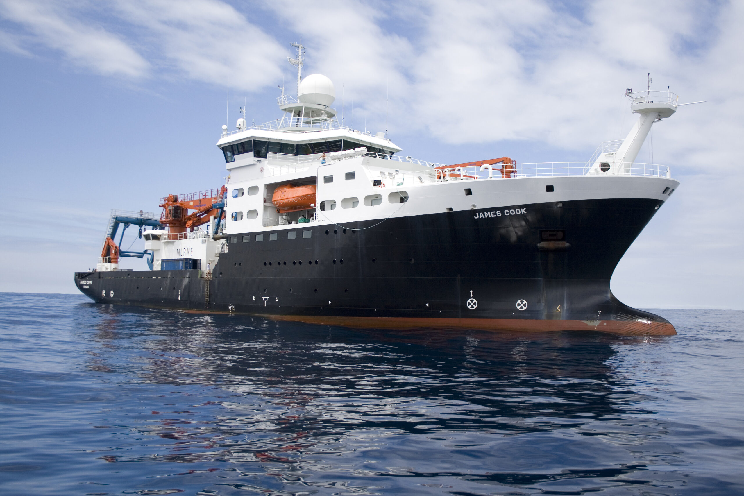
 The UK’s National Oceanography Centre (NOC) is trialling the use of a fossil-free marine diesel to fuel the Royal Research Ships (RRS) James Cook and Discovery.
Use of hydrotreated vegetable oil (HVO), made from used vegetable oils and fats and non-food crops, is able to significantly reduce net CO2 vessel emissions, compared to conventional diesel fuel.
The trial is funded by the UK’s Natural Environment Research Council (NERC), which owns the two vessels, in support of a UK Research and Innovation (UKRI) goal to achieve net zero emission operations by 2040.
HVO can be used as a “drop-in” replacement in marine engines and because it’s made from already used products and non-food crops, it’s life-cycle CO2 emissions are much lower than fossil fuel.
Kevin Williams, Head of Research Ships Engineering at NOC, says, “As a research organisation, NOC is focused on understanding and protecting our ocean. Reducing our own environmental footprint is a key part of that and the carbon emissions from our vessels is a major part of that.”
During the trial, HVO is replacing the low sulphur marine gas oil (LSMGO) NOC normally uses. HVO is one of the more stable biofuels, which means it’s suitable for the different conditions NOC vessels operate in, from high temperature regions to the Arctic.
However, there are some challenges around its use, such as cost and availability, especially in the remote places NOC operates, says Williams.
The HVO trial is part of wider emissions reduction work at NOC. For the vessels, this includes assessing the use of batteries onboard, to reduce the use of the engines during scientific operations, and a focus on marine operations planning, to reduce transit time and more efficient routing based on weather.
Find out more: https://noc.ac.uk/facilities/ships/net-zero-oceanographic-capability
Enhancing Underwater Exploration
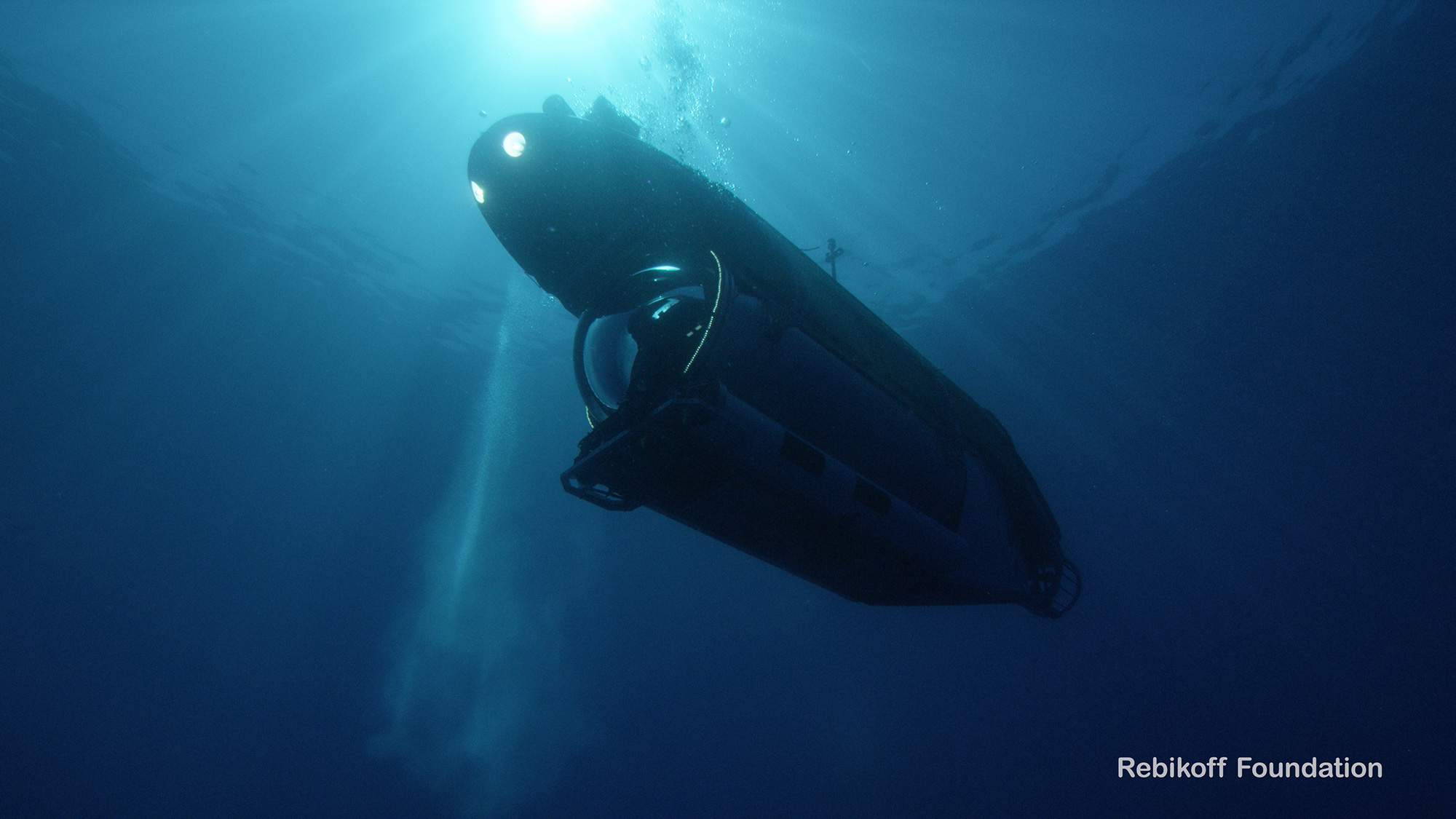
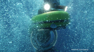 NOVACAVI is proud to supply the Rebikoff-Niggeler Foundation (FRN), a non-profit organisation whose mission is to facilitate marine research and in-situ observation and documentation of deep-sea environments by means of submergible technology.
During the development of their new remotely operated camera system, which will be used for documentary filming and research in the pelagic zone down to depths of 1000-1200m, they asked NOVACAVI to design a custom-made neutral buoyant fibre optic cable with high tensile strength, perfectly suited to their specific requirements.
NOVACAVI, with its experience in developing underwater cable solutions, designed a special configuration and manufactured a tailor-made strategic component for their unique underwater exploration system.
Specialist in custom electrical cables design and manufacturing for the most varied and challenging applications since 1975, NOVACAVI develops specific solutions as reliable high-quality components to any innovative technological equipment.
ASL Successfully Completes Metocean Survey for FortisBC Energy Inc.
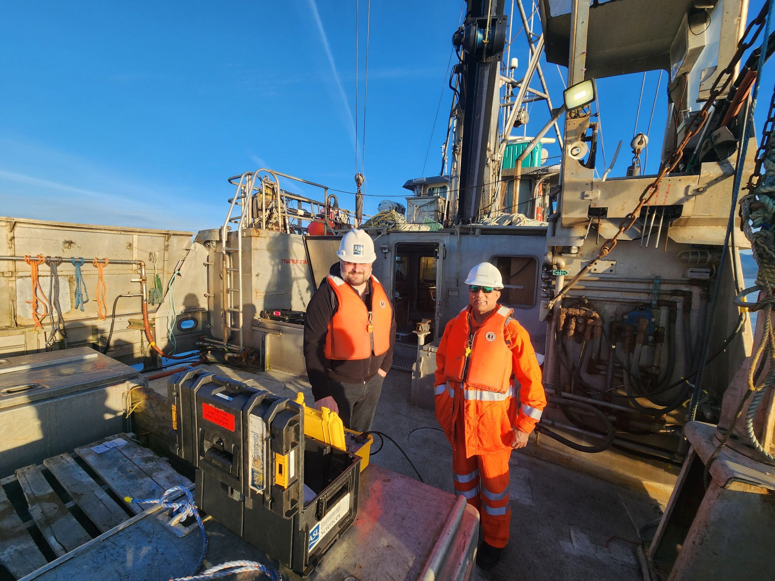
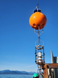 ASL is pleased to announce that it has recently completed a six-month metocean survey for FortisBC Energy Inc. as part of its ongoing operations and maintenance activities supporting its stewardship of the Vancouver Island Transmission System, which supplies natural gas to Vancouver Island and the Sunshine Coast. Wave buoys and subsea current profilers were deployed from December 2023 to June 2024, with a mid-program servicing trip in March 2024. All subsea equipment and wave buoy mooring anchors were successfully recovered, with full recovery of all datasets.
The field program measured directional waves and subsea currents at six individual moorings deployed at three strategic locations along the pipeline route in the Strait of Georgia near Powell River, BC and Texada Island. These measurements utilized ASL’s new PBM-15 polyethylene deepwater buoys to support data collection in water depth of up to 400 m. The datasets collected from this program will be used in numerical modeling studies to support pipeline spanning and integrity assessment at various locations, to be conducted by Worley and RPS, a Tetra Tech Company.
The Vancouver Island Transmission System is critical energy infrastructure that transports natural gas from the British Columbia mainland to Vancouver Island. This pipeline system ensures a reliable natural gas supply to the Island's residents and industries, supporting residential heating and electricity generation. ASL is pleased to support preliminary front-end engineering design (PRE-FEED), construction, and operations and maintenance assessments of new and existing marine energy infrastructure.