
Uncrewed technology: a new standard for observing deep ocean currents
A new way to monitor previously hidden, but disruptive, deep ocean currents in near-real-time has been proven, thanks to a recently completed uncrewed technology collaboration in the US Gulf of Mexico.
In a science-industry first, marine technology companies Sonardyne and SeaTrac Systems used advanced sensors and uncrewed surface vehicles (USVs) to deliver science-ready deep ocean current data on the Gulf’s Loop Current System, direct to scientists’ desks in near real-time.
The project, commissioned and in collaboration with the University of Rhode Island (URI), opens the door to reliable, on-demand and sustained high-resolution observations of powerful and dynamic ocean systems, without the need to send people offshore.
In turn, this boosts scientists’ ability to improve predictive models, helping industry and science understand and mitigate the hazards posed by disruptive deep ocean currents, like the Loop Current System.
The project was completed during Fall 2025 and funded by the U.S. National Academies of Sciences, Engineering and Medicine’s Gulf Research Program.
“Sustained deep-ocean measurements remain rare despite their importance,” says Randy Watts, Professor of Oceanography, URI. “This project demonstrates how commercially available instruments and uncrewed vehicles can deliver science-ready data in strong current systems – overcoming the dual challenges of station-keeping where most USVs fail and cost-effective deployment without expensive research vessels.”
“With SeaTrac, we’ve proven that long-term, persistent monitoring of powerful and dynamic ocean systems with USVs instead of traditional vessels is now a reality,” says Michelle Barnett, Business Development Manager for Ocean Science at Sonardyne. “Remote-commanded systems can reliably deliver the high-quality oceanographic data researchers and industry need, when they need it with lower operational costs than traditional vessels.”
“This mission has demonstrated a new global precedent for using USVs to make critical, sustained ocean data accessible, consistently – with zero crew risk, zero emissions and a repeatable approach we can scale to other regions,” adds Hobie Boeschenstein, Director of Operations and Business Development at SeaTrac.
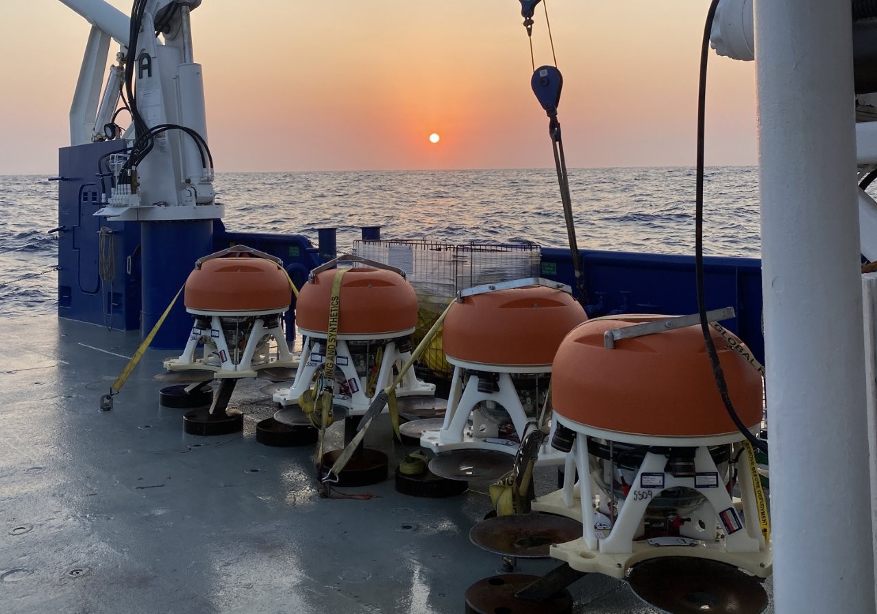
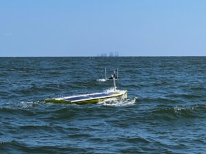
The collaboration used Sonardyne’s advanced Origin 65 seabed acoustic Doppler current profilers (ADCPs) and SeaTrac’s SP-48 USV to gather near-real-time current profile data from the Loop Current System.
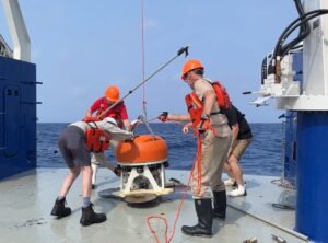
Over 18 months, four Origin 65s and five pressure inverted echosounders were deployed in 1,800 to 3,200 m water depth, in the heart of the LCS, 200 nm off the coast of Louisiana.
Origin 65 is a 4,100 m-rated, low frequency, deepwater profiling ADCP. It can profile up to 800 m range in time-aligned, high resolution and also comes with pressure inverted echo sounder (PIES) functionality.
Thanks to Origin 65’s integrated Edge processing capability and acoustic modem, data could be acoustically harvested from the surface by SeaTrac’s remotely piloted USV, using a Sonardyne HPT 7000 transceiver.
The solar and battery powered SP-48 was tasked with navigating variable ocean currents and weather conditions in the Gulf to reach the sensor locations and harvest the data. It was then able to send the science-ready data to shore through its dual iridium and Starlink satellite links, which also enabled high-data rate and real-time communications back to shore.
In total, three deployments covering more than 30 days, the SP-48, which can sustain 2 to 3 kt operations and sprints up to 5 kt, covered around 1,500 nm. During this time, more than 135 GB of high-resolution ocean currents and related parameter data at up to 800 m above the bottom were harvested.
Going forward, data gathered during the mission will improve models that forecast currents such as topographic Rossby waves, providing critical insights for science and safety in the region and opening new avenues for future research.
The project demonstrates a scalable model for autonomous ocean observation around the world.
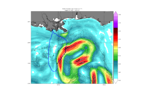
This includes showing how marine autonomy can deliver near real-time data to enhance the prediction of – and safety against – disruptive deep currents such as topographic Rossby waves, which can threaten offshore infrastructure, while also improving scientific understanding of ocean circulation and climate processes.
“Completion of this project marks another successful demonstration of USVs in offshore data collection and marine science,” Boeschenstein said.
“Deploying advanced technologies like those from SeaTrac and Sonardyne is key to deepening our understanding of the world’s oceans. There is still so much to explore, and our teams are proud to help scientists safely reach and study some of the most challenging marine environments on Earth.”

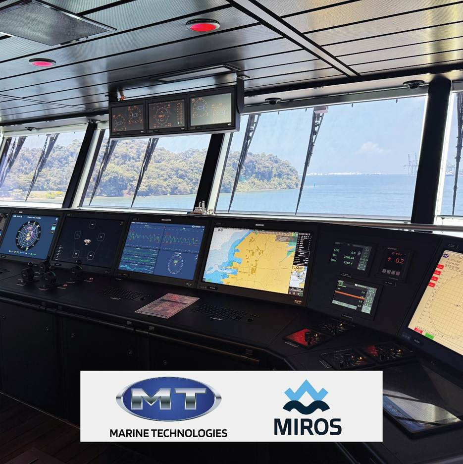
Miros and Marine Technologies sign MOU to advance next-generation marine sensing and vessel performance solutions
 An important step on the road to forming a strategic partnership, the agreement outlines the two companies’ mutual intent to collaborate on integrating Miros’ advanced sensor technologies into MT’s systems and deliveries.
It brings together Miros’ expertise in wave, current, and oil spill detection technologies with MT’s strong foothold in vessel control systems and offshore operations.
While the MoU currently involves no financial commitments, the agreement sets the stage for significant potential synergies in product development, system integration, and distribution through MT’s global network of projects and services.
The collaboration may also extend into advanced applications focused on vessel performance and offshore wind operations.
Marius Five Aarset, CEO of Miros, said: “This agreement marks the beginning of what we believe will be a transformative partnership for both companies.
“Marine Technologies has a remarkable track record in vessel control and, by combining their systems expertise with our sensor technology, we can efficiently bring powerful new capabilities to vessel operators worldwide.
“Driving safer, more efficient, and more sustainable offshore operations is core to Miros’ being, and this MoU further solidifies that mission.”
MT is part of a group of companies owned by the same owners as Edison Chouest Offshore (ECO) and serves as its in-house marine electronics provider, with a long-standing heritage in DP systems.
ECO operates a fleet of approximately 300 vessels, primarily in the Gulf of Mexico and Brazil, positioning MT at the heart of offshore maritime innovation.
The scope covered by the MOU includes the pre-installation of Miros' Wavex systems integrated with MT’s DP systems for activation on demand and offered in an OEM-style configuration.
It also covers the distribution of advanced WaveSystem and Oil Spill Detection solutions through MT’s channels, as well as the development of value-added applications, such as vessel performance analytics and offshore wind “walk-to-work” solutions.
Jan Mikalsen, CEO of Marine Technologies, said: “Our companies share a passion for innovation, a drive to deliver real operational value and with this MoU we now have a framework in place to quickly deliver technology that will reshape the way offshore operations are conducted.
“The potential we see here, especially when it comes to integrating real-time sea-state data with DP and performance systems, is enormous and I can’t wait to see this partnership bear fruit.”Both Miros and Marine Technologies will be exhibiting at the International Workboat Show in New Orleans, from 3–5 December 2025:
Miros AS – Co-exhibiting at the Team Norway Pavilion, Booth #1709
Marine Technologies LLC – Booth #1729
Visitors are invited to meet both teams to learn more about the planned collaboration and how it could shape the future of marine sensing, vessel performance, and offshore operations.
COVE Leads new at-sea testing capability to advance Canada’s maritime security, innovation, and dual-use technology development
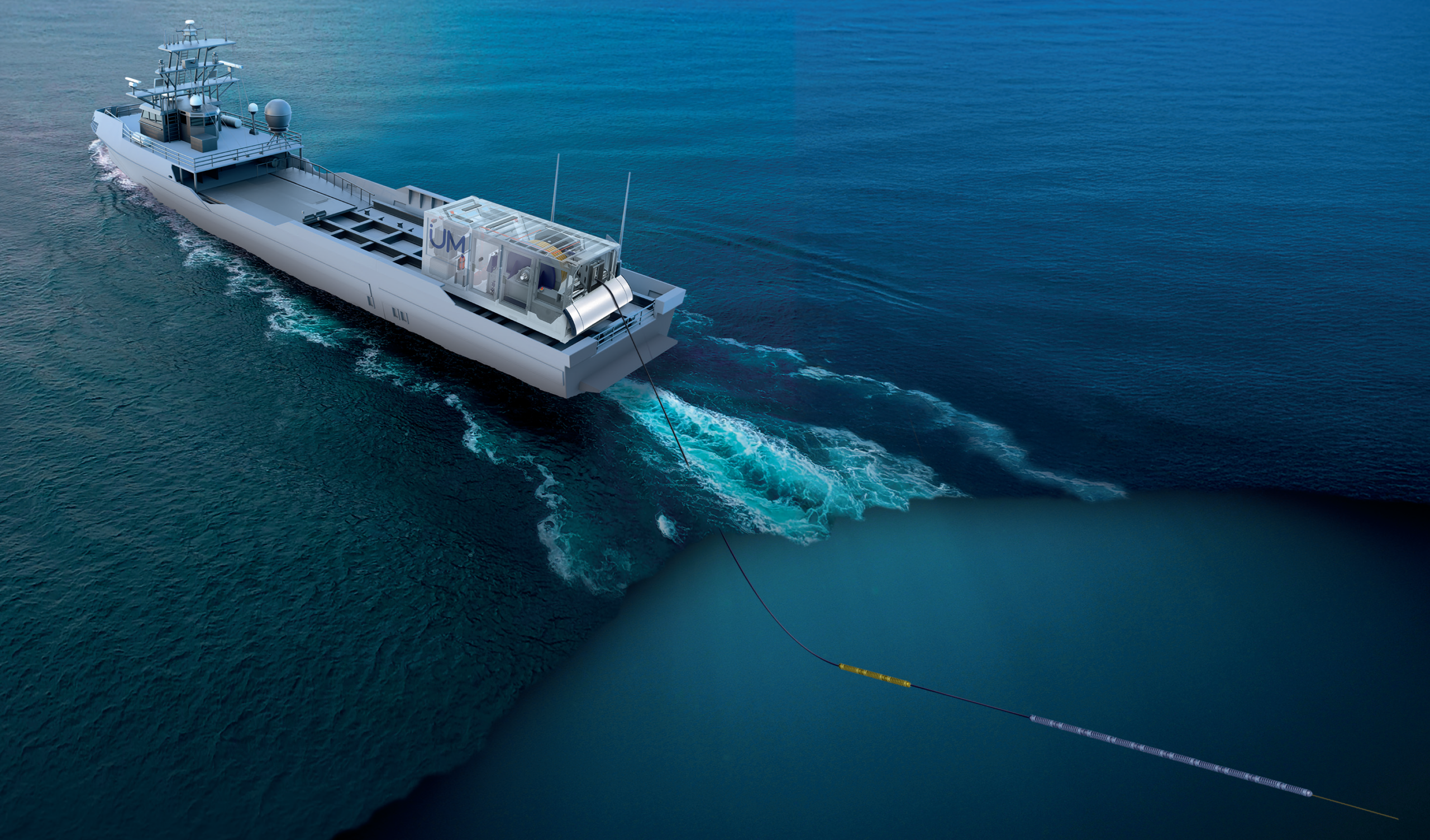
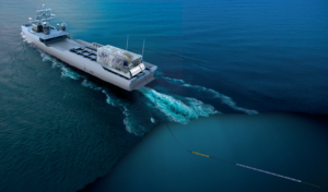 COVE is proud to announce a ground-breaking new at-sea testing capability to strengthen Canada’s maritime security, fuel innovation, and accelerate the development of dual-use underwater technologies for both defence and commercial markets. In collaboration with Defence Research and Development Canada (DRDC), Ultra Maritime (UM) Canada, and the Atlantic Canada Opportunities Agency (ACOA), this initiative positions Canada as a global leader in towed array technology development.
This new containerized testing system is purpose-built for at-sea evaluation of next-generation towed-array technologies. Its modular design allows it to be rapidly installed on a wide range of available ships, eliminating the need to divert frontline Navy vessels from their operational missions. This flexibility accelerates experimentation by enabling frequent trials across diverse marine environments.
The system’s scalable architecture supports advanced towed sensor solutions, including active and passive arrays and long-range surveillance systems. By streamlining at-sea testing and integration, it helps advance the development of future anti-submarine warfare capabilities with potential applications across commercial marine and related sectors.
Today, Darren Fisher, Member of Parliament for Dartmouth–Cole Harbour, announced a total of $9,690,773 in federal funding toward the project, on behalf of the Honourable David J. McGuinty, Minister of National Defence, and the Honourable Sean Fraser, Minister of Justice and Attorney General of Canada, and Minister responsible for the Atlantic Canada Opportunities Agency (ACOA).
“We are transforming the way we develop new technologies for both commercial and defence applications. This collaboration will accelerate the development of advanced underwater sensing systems in a variety of environments, enhancing our Navy’s technological edge,” said MP Fisher. “Today’s investment reinforces our government’s commitment to driving innovation, strengthening national security, and building sovereign testing capacity in Canada.”
As the only Canadian accelerator site selected by NATO’s Defence Innovation Accelerator for the North Atlantic (DIANA), and through its role in the newly announced Defence Innovation Solutions Hub (DISH) in Halifax, COVE sits at the heart of Canada’s defence innovation network. This combined innovation strength drives NORAD modernization, advances NATO priorities, enhances continental maritime awareness, and opens pathways for Canadian dual-use technologies to reach allied markets.
“Canada’s marine and defence innovation ecosystem is built on collaboration, expertise, and ambition,” said Melanie Nadeau, CEO of COVE. “This project showcases the power of partnership between industry, government, and research leaders to advance critical underwater sensing and intelligence technologies. COVE is accelerating innovation that strengthens naval readiness, technological sovereignty, and the protection of our maritime approaches.”
Wayne Shaddock, Senior Director Business Development - Canada, Ultra Maritime, added: “Through the support of ACOA, COVE, and DRDC, Ultra Maritime will deliver its state-of-the-art Sea Tracker system—a scalable architecture that can integrate Ultra Maritime’s full suite of towed technologies to rapidly deploy advanced ASW capability, enabling the detection, classification, and tracking of modern submarines across all theatres. DRDC will employ Sea Tracker to drive experimentation and develop next-generation ASW concepts, reinforcing Atlantic Canada’s leadership in defence innovation, and research and development through this strong collaborative partnership.”
This initiative represents a major investment in Canada’s maritime intelligence and innovation ecosystem, strengthening dual-use technology development, enhancing collaborative research, and improving Canada’s readiness in an evolving global security environment.
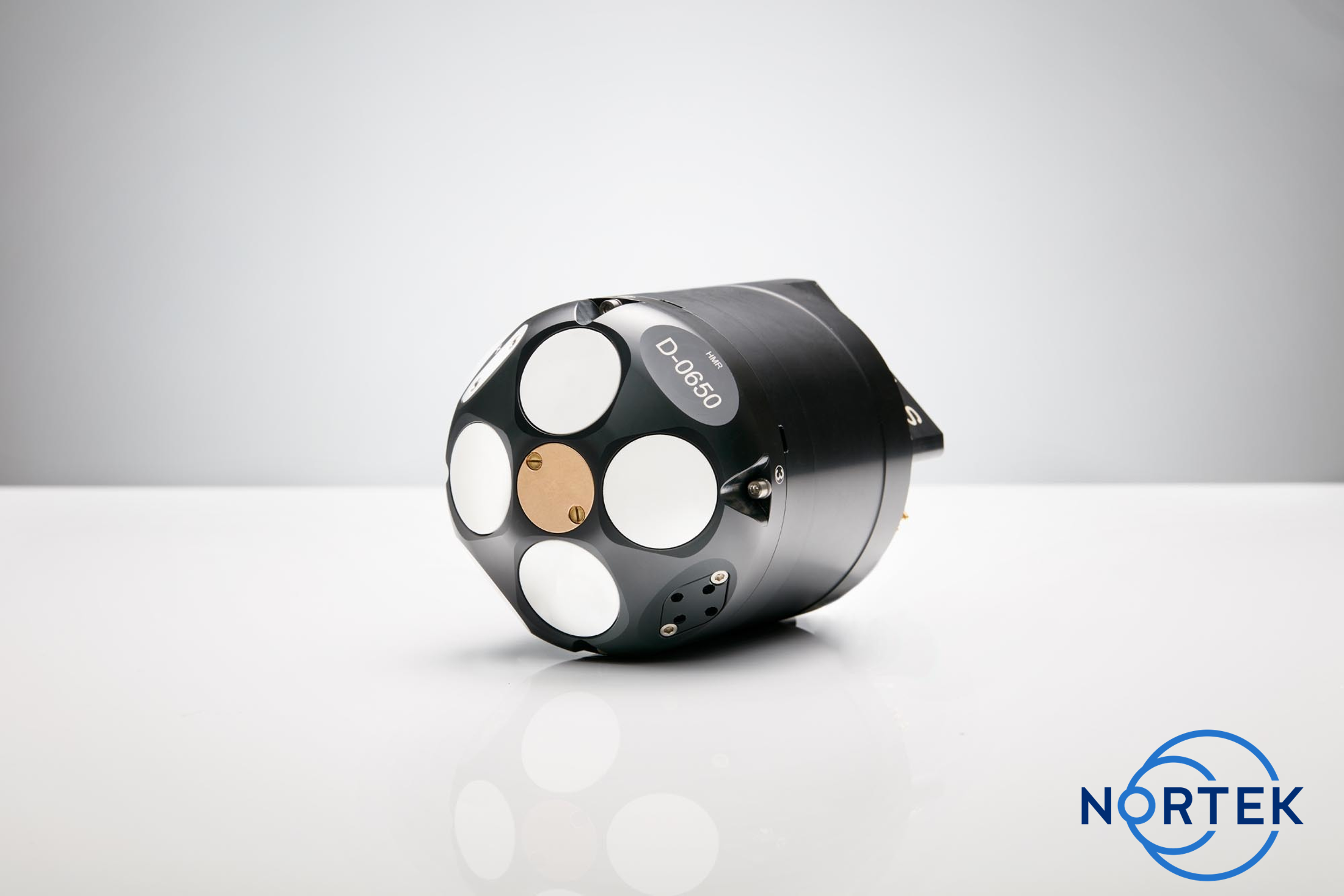
Ensuring reliable navigation for divers during tactical missions with Blueprint Subsea and Nortek
Blueprint Subsea and Nortek are working together to ensure divers stay on course when GNSS signals disappear beneath the surface, where navigation depends on reliable sensors. BluePrint’s Artemis diver navigation systems rely on Nortek DVLs for accurate velocity information.
Diver navigation has long presented a challenge. Ensuring diver safety is crucial, and the consequences of not having reliable navigation and position information are far greater for missions using divers than ROVs or other uncrewed systems. UK-based Blueprint Subsea’s Artemis diver navigation systems are engineered to give operators confidence and control in such situations. Accurate positioning and dead-reckoning navigation capabilities are essential for maintaining situational awareness and keeping divers safe during long-duration underwater missions. Blueprint relies on Nortek’s DVL technology as part of these diver navigation systems to provide accurate velocity information in challenging underwater environments.
The Artemis systems are deployed primarily by two specialist groups in the defense space: Explosive Ordnance Disposal (EOD) divers and combat swimmers. EOD divers must locate, identify, and investigate underwater ordnance and mines. For these divers, precise navigation and positional awareness are critical to safety and mission success. Combat swimmers rely on Artemis to execute covert insertion and extraction missions, navigating accurately to designated targets and returning undetected.
Diver navigation powered by Artemis and Nortek DVL
As part of the Artemis navigation system, the DVL measures velocity relative to the seabed. When integrated into the navigation system, this makes dead-reckoning navigation possible, providing navigation information for divers even in the absence of satellite signals.
As James Colebourn, Technical Sales Engineer at Blueprint Subsea, explains, “Once GPS drops out, the unit seamlessly switches to the DVL, just as any remotely operated vehicle (ROV) would, enabling accurate underwater navigation until the diver resurfaces.”
Blueprint offers a variety of Artemis systems, each equipped with sensors and a DVL according to mission needs. The ArtemisPRO, their most advanced navigation system designed for military and Special Forces divers, uses Nortek’s DVL 1000. The ArtemisSX, which can be used as a diver handheld or paired with a diver propulsion vehicle, uses the DVL 500 Compact. Finally, the ArtemisELITE, which pairs the navigation system with SUEX diver propulsion units and requires the longest range, uses the DVL 500.
The relationship between Blueprint and Nortek began when Blueprint sought to evolve a smaller GPS-float device into a more capable diver system. “We explored many different options and Nortek’s DVLs offered the best performance and quality,” says Colebourn.
Today, Blueprint uses OEM versions of Nortek’s DVLs, allowing Blueprint to streamline integration with the system without sacrificing precision.
“Initially we chose Nortek for quality, but as the partnership matured, Nortek supported the customization we needed,” adds Colebourn.
Close collaboration with Nortek engineers at the Nortek’s headquarters in Norway, as well as local technical support from Nortek’s team in the United Kingdom helped Blueprint refine its designs through continuous feedback and testing.
The future of diving and underwater robots
The underwater domain is evolving at an unprecedented pace, and underwater vehicles can perform an increasing number of jobs historically performed by divers. Yet, despite these advancements, the team at Blueprint firmly believes that divers will remain indispensable.
“Robots can do many things, but some missions still require people in the water,” Colebourn notes. “There will always be tasks that demand human judgment, adaptability, and touch.”
To ensure safety and capability of these divers, technology like Blueprint’s DVL-aided diver navigation system will be crucial. Using robotic systems in conjunction with divers will reduce risk and improve efficiency, without sacrificing the human experience and skill that comes with specialized divers.
Blueprint and Nortek aim to continue their collaboration to meet the needs of divers and operators to execute challenging and sensitive missions. Reliable underwater navigation from systems like the Artemis is non-negotiable for these users, and is only made possible by advanced navigation sensors like Nortek DVLs.
Learn more at https://www.nortekgroup.com/knowled
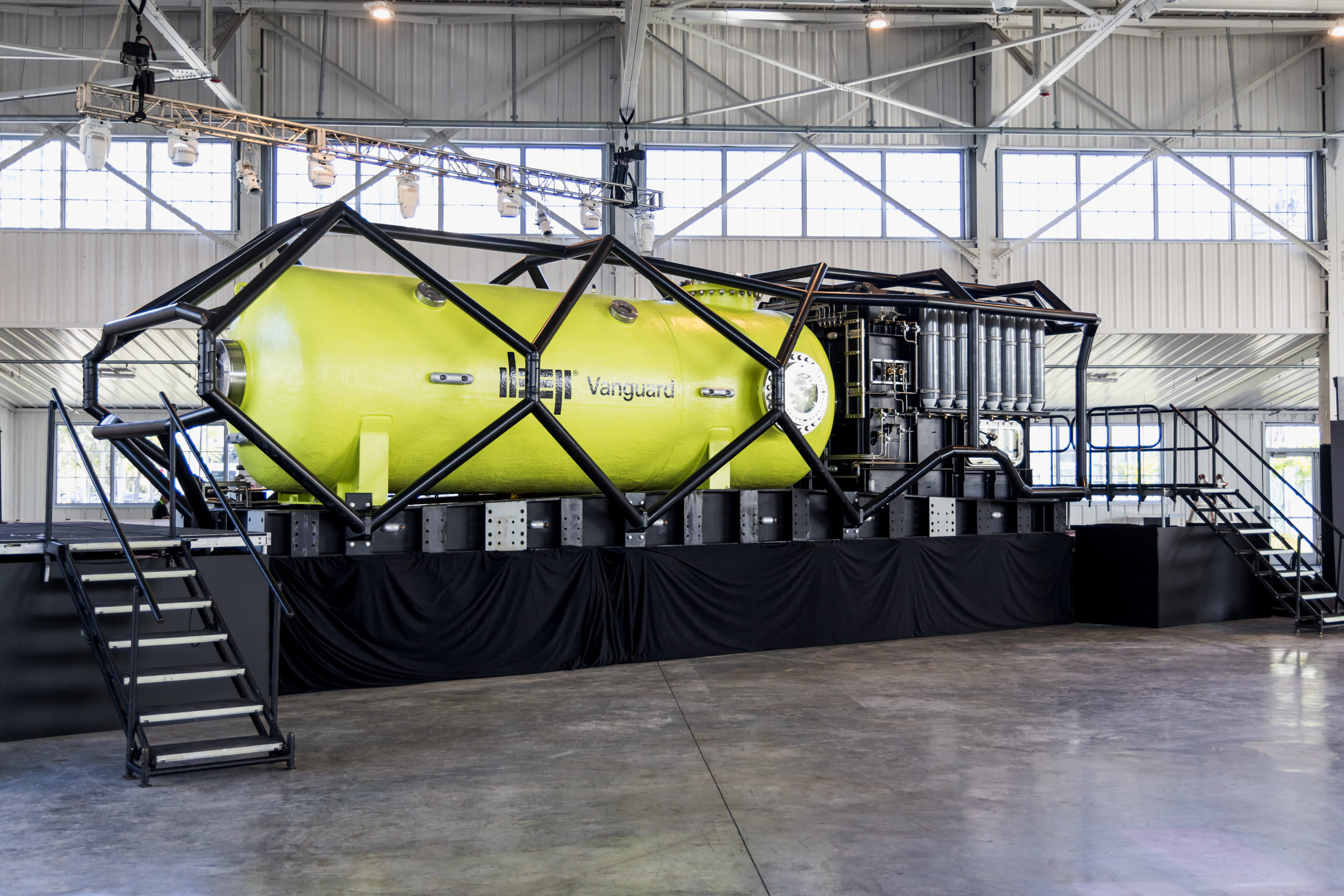
DEEP Partners with Unique Group to Deliver Next-Generation Subsea Human Habitat
 Unique Group, a global leader in subsea technologies and engineering, is proud to be the specialised technology provider for DEEP’s pioneering subsea human habitat programme. Unique Group is responsible for the design, engineering, and project management of several critical systems vital to the deployment of the pilot habitat, Vanguard.
DEEP’s mission is to Make Humans Aquatic and their long-term roadmap includes building Sentinel, a larger subsea habitat system that enables researchers and scientists to live and operate underwater at depths of up to 200 meters for up to 7 days or more at a time. The first pilot habitat, Vanguard, is being built right now in Sebastian, Florida, and will be followed by the Sentinel habitat in the years following, marking a significant advancement in ocean exploration.
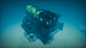
Unique Group’s scope includes foundation design and geotechnical survey management, metocean data collection, and cyclonic survivability studies. Using Computational Fluid Dynamics (CFD), they optimized the foundation’s stability against extreme ocean forces. The foundation base plate, currently under fabrication in the USA, weighs over 300 tons and incorporates multiple anchoring systems.
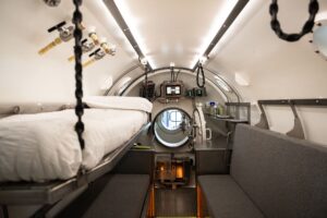
The company also engineered the mooring spread for the habitat support buoy and managed the internal fit-out of the Vanguard chamber, delivering all furniture, fixtures, and fittings tailored to operational and ergonomic needs. Additionally, Unique Group supplies the full fluids management and life-support gas systems.
Leveraging decades of subsea expertise, Unique Group has provided offshore installation support and advisory services throughout the project. Their custom-engineered solutions reflect a focus on safety, efficiency, and sustainability to ensure mission success.
 “Our collaboration with DEEP on the Vanguard project marks a defining milestone in subsea living and engineering,” said Dave Thompson, Group Engineering Director at Unique Group. “This partnership demonstrates the strength of our in-house design and manufacturing capabilities, and our commitment to advancing safe, sustainable solutions for the future of underwater research and exploration.”
Designed for a four-person crew on missions of seven days or more, Vanguard will support scientific research, marine conservation, and technology testing. It will also be the first subsea habitat classified under DNV’s rigorous ruleset, reflecting DEEP’s and Unique Group’s dedication to safety and innovation.
“We’re thrilled to partner with Unique Group on this ambitious project. Their expertise in engineering and subsea systems has been invaluable in realizing our vision for Vanguard. We look forward to starting a new chapter in underwater habitation and scientific exploration,” said Norman Smith, Chief Technology Officer, DEEP.
Unique Group’s involvement in this landmark programme reinforces its position as a trusted partner for complex subsea developments worldwide. With over 30 years of experience, a multidisciplinary in-house engineering team, and a global footprint across 18 countries, the company continues to drive innovation across the offshore energy, marine research, and naval sectors.
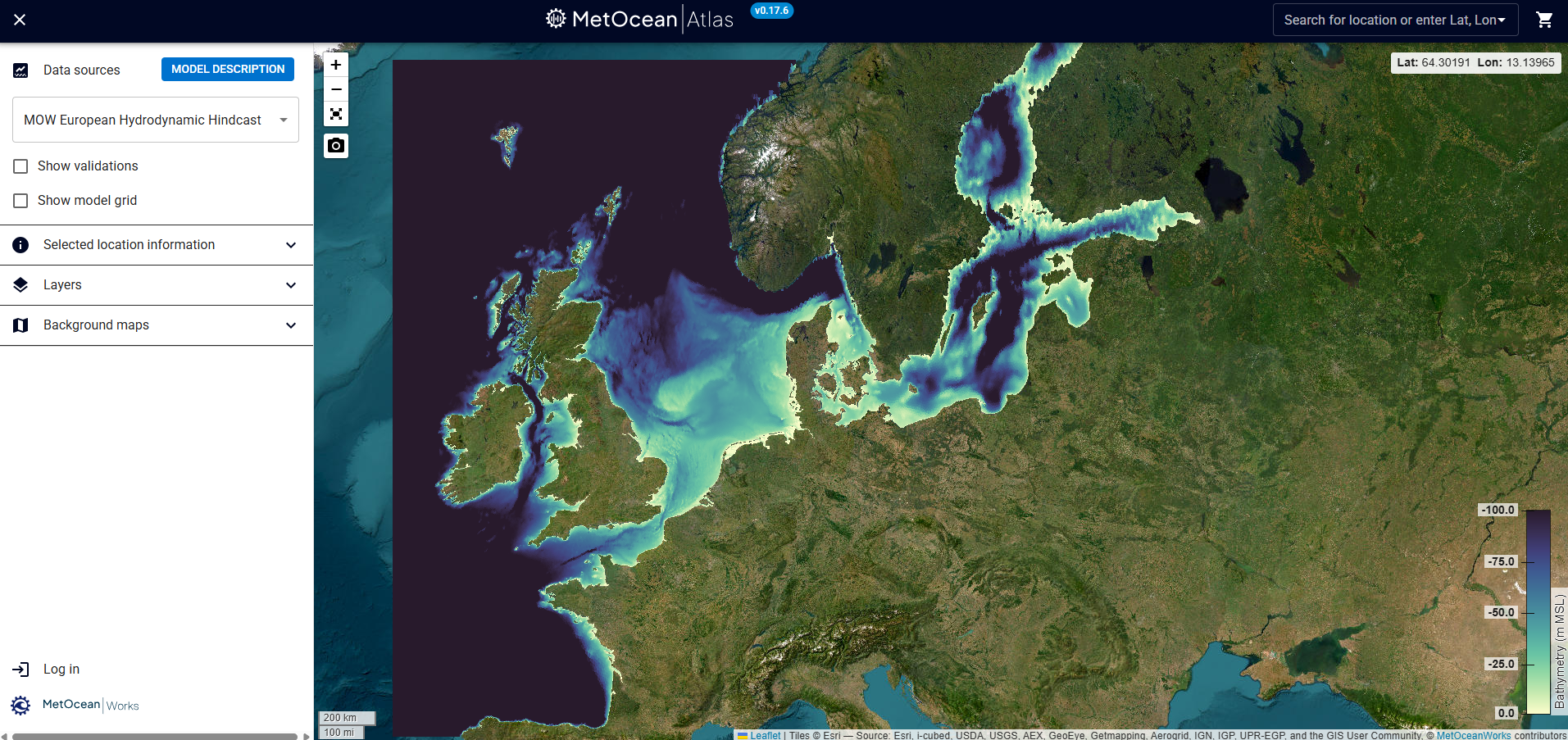
MetOceanWorks launches next-generation marine data platform, MetOceanAtlas
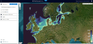 MetOceanWorks is pleased to announce the launch of MetOceanAtlas, a next-generation marine data platform designed to transform the way marine professionals access, visualise, and engage with oceanographic information. Developed through years of specialist expertise and close collaboration with clients across the marine sector, MetOceanAtlas consolidates trusted, quality-assured datasets into a single intuitive, cloud-based environment.
Providing comprehensive wave, current, wind, and water-level data across the European continental shelf, the platform supports offshore energy developers, coastal engineers, shipping operators, and researchers with the tools they need to make confident, data-driven decisions. Interactive visualisation, streamlined data purchasing, and scalable infrastructure ensure that MetOceanAtlas meets the requirements of modern workflows.
“MetOceanAtlas represents a major step forward in accessible, high-quality metocean data provision,” said Andrew Watson (Managing Director, MetOceanWorks Ltd). “Its development reflects our commitment to delivering robust, reliable data solutions that support the needs of marine professionals.”
Built for future expansion, MetOceanAtlas will continue to evolve with new regions and advanced analytics features already planned in the development roadmap.
For more information or to create a free account, please visit metoceanatlas.com or metoceanworks.com.
Sonardyne to provide passive seismic monitoring services to Northern Endurance Partnership
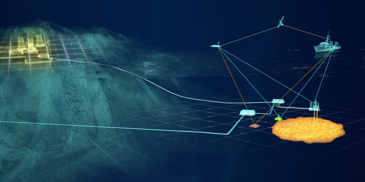
Underwater technology company Sonardyne is to provide passive seismic monitoring services at the UK’s first carbon capture and storage (CCS) site.
The services, added to an existing contract with Northern Endurance Partnership (NEP) will form part of a wider monitoring programme at the Endurance CO2 storage site beneath the North Sea.
Sonardyne will adapt, deploy and operate advanced ocean bottom seismometers (OBSs), manufactured by Germany technology company KUM GmbH, on the seabed above the Endurance storage reservoir, about 75 km off the coast of Yorkshire.
NEP will enable carbon captured by emitters in Teesside and the Humber – collectively known as the East Coast Cluster – to be transported and then stored in Endurance, and neighbouring storage sites.
The initial phase of the project is expected to see up to 100 million tonnes of CO2 stored in the Endurance aquifer over a 25-year period, helping to achieve net zero goals in one of the UK’s most carbon intensive industrial regions.
The additional work scope at Endurance is a further endorsement of Sonardyne’s capabilities in support of CCS operations, building on its existing contract to provide environmental monitoring services using Sonardyne technologies across the Endurance site.
“NEP is continuing to lead the UK's journey to net zero through its development of carbon capture and storage at the Endurance site. Our collaboration with Sonardyne plays a critical role in ensuring carbon is stored safely and securely,” says Michael McGhie, Technical Manager at NEP.
The passive seismic monitoring services to be provided will generate baseline data ahead of NEP operations, with a potential for these services to continue into injection, to provide longer-term surveillance of the subsurface.
Storage at the site is expected to start in 2028, making it the first operational CCS project in the UK.
“Being trusted to deliver passive seismic monitoring, in addition to environmental monitoring, for the UK’s first CCS project is an honour and highlights Sonardyne’s technical leadership in subsea environmental monitoring,” says Stephen Auld, Business Development Manager for Custom Projects at Sonardyne.
“We are committed to supporting NEP’s work to deliver safe, long-term containment of CO₂ offshore and are very proud to contribute our expertise to this landmark project.”
The OBS monitoring scope is expected to start in the summer of 2026 with the first seismic data delivered to NEP one year later. This will help to characterise any naturally occurring seismic activity in this region.
Peel Ports Enhances Pilot Safety with Real-Time Wave Data Integration
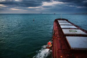
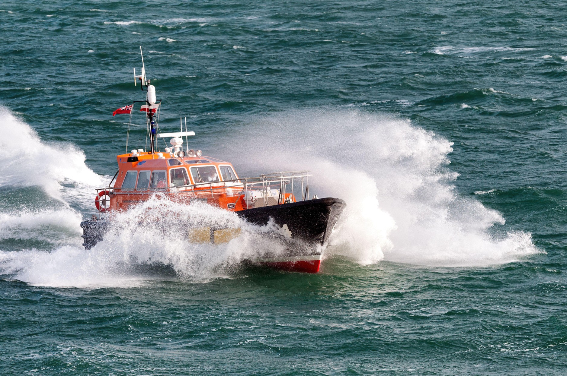
When pilots from Peel Ports Group head out into the Irish Sea to board incoming vessels, timing is everything. The sea state can shift quickly, and rough waves can make pilot transfers not just difficult, but dangerous.
Peel Ports Group has taken a major step forward in maritime safety by integrating real-time wave data from a nearby buoy into its operations, dramatically improving decision-making for pilot transfers in the Irish Sea.
Until recently, Peel Ports pilots relied on experience and judgment to determine whether conditions were safe for boarding incoming vessels. With sea states changing rapidly, these decisions carried significant risk. Now, thanks to a collaboration between Peel Ports, Cefas, and marine data specialists OceanWise, that risk has been greatly reduced.
By connecting the Cefas buoy stationed near a key boarding point to the OceanWise Data platform Port-Log, live wave information is instantly accessible from any smart device. This innovation means port and VTS teams can assess offshore conditions at a glance, enabling faster, better-informed decisions that keep pilots safe and operations running smoothly.
"Having real-time wave data available in Port-Log has transformed the way we assess pilot boarding conditions," said Russell Bird of Peel Ports Group. "We can now make faster, better-informed decisions that keep our pilots safe and our operations running smoothly."
The integration not only enhances safety but also reduces unnecessary trips into challenging seas, improving operational efficiency and sustainability. If you would like to discuss wave data integration or learn how OceanWise are able to support your marine environmental monitoring requirements, please contact www.oceanwise-global.com / [email protected] / +44 (0) 1420 768262.
France 2030: Ifremer entrusts ALSEAMAR with the design of a deep-sea glider capable of reaching 3,500 meters
 Following a call for proposals launched under the “Deep Seabed” priority of the France 2030 investment plan, Ifremer has announced the award of a contract to the French company ALSEAMAR for the design and development of a deep-sea underwater glider. This ambitious project will strengthen France’s capabilities in deep-ocean exploration and observation, a field that lies at the heart of major global scientific and societal challenges.
The initiative is funded by the French National Research Agency (ANR) on behalf of the French government, as part of France 2030. Ifremer serves as the project lead, in partnership with the CNRS and Shom. A scientific user group will be closely involved in defining the sensors to be developed or integrated, ensuring that the new system meets the evolving needs of ocean research.
A NEW DEEP-SEA GLIDER TO ADVANCE SCIENTIFIC RESEARCH ON THE DEEP OCEAN
Underwater gliders are revolutionary tools for ocean exploration: autonomous and remotely operated, they carry a suite of sensors and can currently traverse the oceans to collect oceanographic data—from physics to biology—from the surface down to about 1,000–1,200 meters for scientific research.
Today, as the deep ocean lies at the heart of major global scientific and societal challenges, the marine science community has a strong need for a glider capable of diving to depths of up to 3,500 meters.
FIRST DEPLOYMENTS IN THE MEDITERRANEAN AND THEN OFF MAYOTTE
Once the design phase of this new glider is complete, an initial field demonstration will take place in the Mediterranean Sea to observe variations in the physical and biogeochemical properties of deep waters, and to assess the impacts of climate change. This mission will be conducted as part of the MOOSE National Observation Service, coordinated by CNRS-INSU.
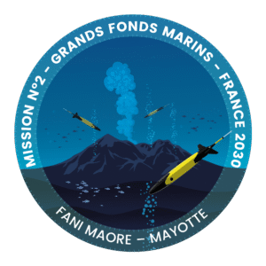
Several prototypes will then be deployed for one year off the coast of Mayotte to enhance knowledge of underwater hazards and geological and seismic risks linked to the Fani Maoré submarine volcano, discovered in 2019.
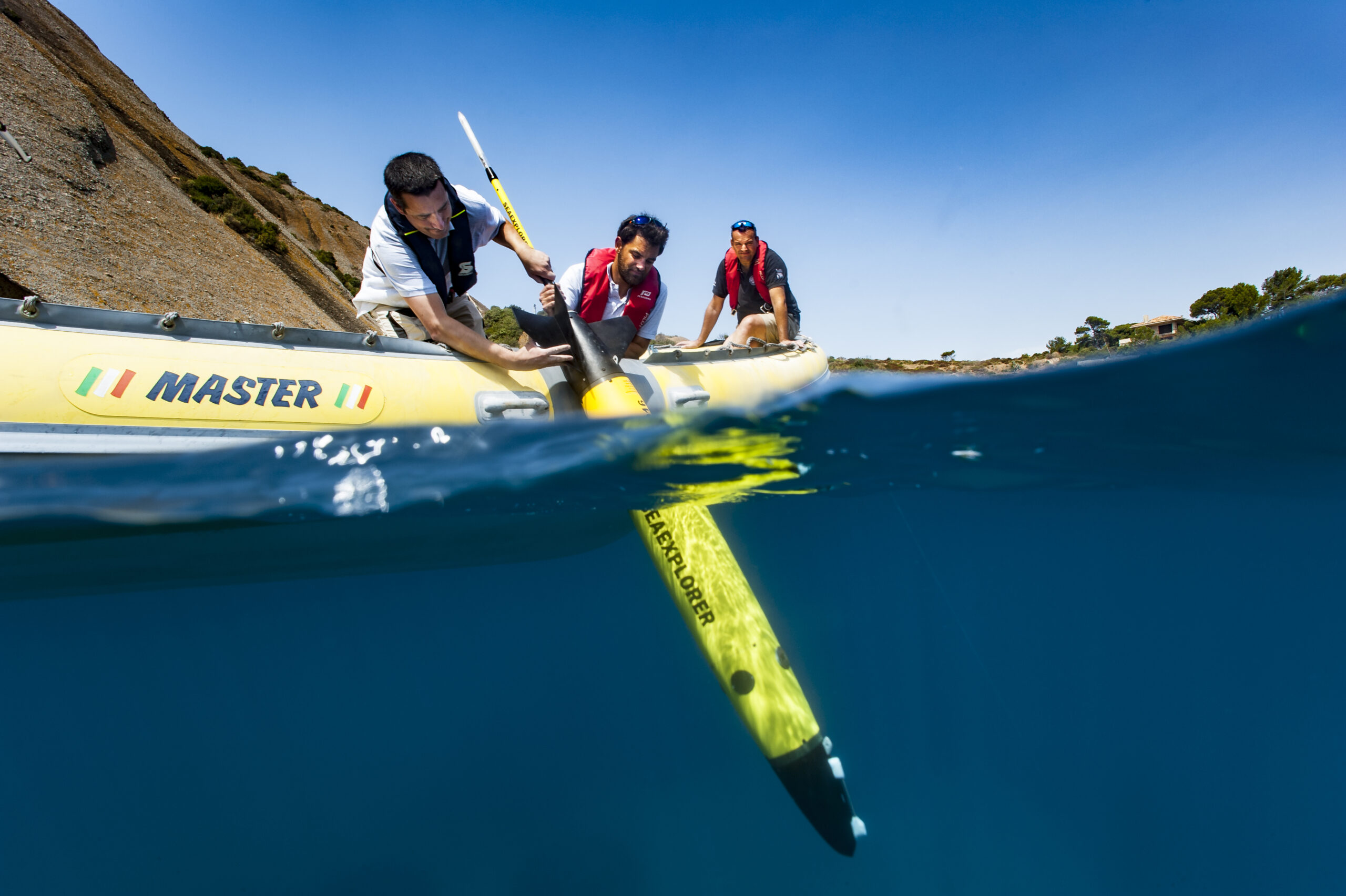
The new data collected during these deployments will complement those gathered since September 2021 by ALSEAMAR’s SEAEXPLORER gliders (capable of operating at depths up to 1,250 meters) at the request of Ifremer, within the framework of the Mayotte Volcanological and Seismological Monitoring Network (REVOSIMA).
These future deployments will not only expand scientific knowledge in these key regions of the globe but also validate this new tool for deep-ocean exploration and monitoring.
The new deep-sea glider will join the extensive fleet of underwater vehicles available to the French scientific community, supporting research on ocean circulation, climate change impacts, and seismic and volcanic activity.
OBJECTIVE: DEEP-SEA EXPLORATION
The current range of underwater gliders used by the scientific community and manufactured by ALSEAMAR—the only European designer and producer of underwater gliders—already allows oceanographic studies from the coast down to depths of 1,250 meters.
Surpassing this depth limit presents significant technological challenges, which ALSEAMAR will address by leveraging its recognized expertise in autonomous platform development, as well as in ocean data acquisition and processing, to design this new generation of vehicles.
This mission reflects the ambition of the French government, through France 2030, to advance scientific knowledge of the deep ocean while supporting the emergence of a competitive national industrial sector in underwater technologies.
NOR Offshore Rental acquires ECHO81
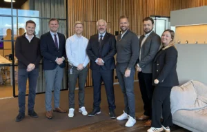 Expanding its global footprint in offshore & subsea rental solutions.
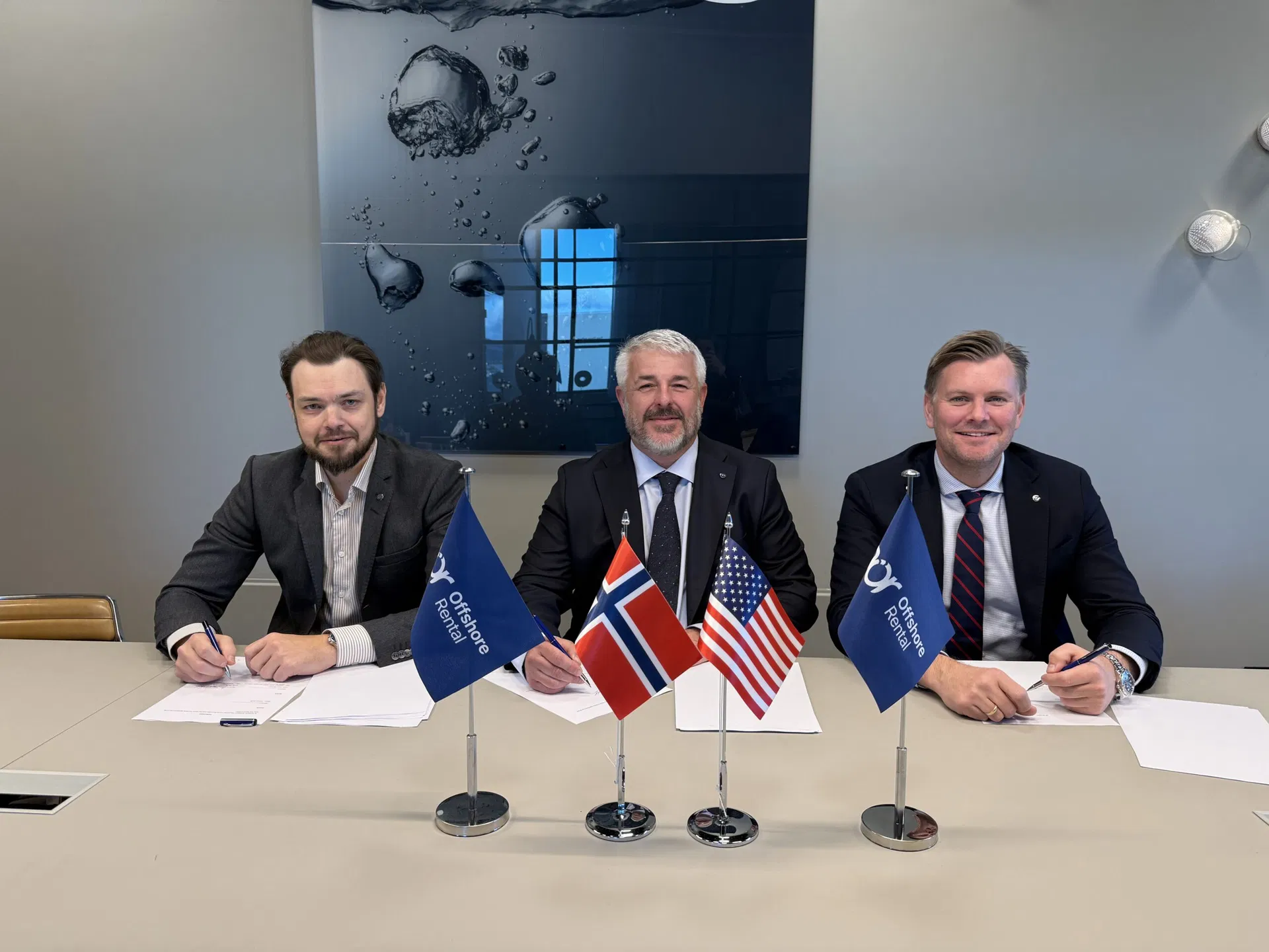
NOR Offshore Rental (NOR) today announced the acquisition of ECHO81, a leading US-based provider of subsea survey equipment and technical services. The acquisition marks a significant step in NOR’s global growth strategy and strengthens the company’s position in the North American market.
“The acquisition of ECHO81 represents an important milestone in our journey to become a truly global provider of offshore and subsea solutions and equipment rentals,” said Tore Gautesen, CEO of NOR Offshore Rental. “Damon and his team have built an exceptional business with deep industry knowledge and a customer-focused culture that aligns perfectly with ours. We are very proud to welcome ECHO81 into the NOR family.”
ECHO81 is headquartered in Hartwell (Georgia), with offices in Houston, Maine and New Jersey. The team has built a strong reputation as a trusted supplier of hydrographic and oceanographic equipment, serving customers across the Americas. With this acquisition, NOR Offshore Rental adds a strategic hub for equipment rental, sales, and support services in the US, complementing its existing operations in Norway, the UK, India, Malaysia, Singapore, and Australia.
Founder and main shareholder of NOR, Jan Sigurd Østebøvik gives following comment on the acquisition “We have followed Echo81 for some time and I have great respect for Damon Wolfe as a person, and how he and his team have built a well-run and highly respected company in the U.S. This acquisition will give NOR a stronger presence in the United States and reinforces our position across key geographic markets and customer segments. I’m very pleased that Damon will become a shareholder in NOR, reflecting our shared commitment to long-term growth.”
As part of the transaction, ECHO81 founder Damon Wolfe will be staying on as Regional Director for NOR US and Americas regions operations. The combination of NOR’s extensive rental fleet and ECHO81’s regional experience will enable customers on both sides of the Atlantic to access a broader range of equipment and technical services. NOR will make substantial investment in equipment in the US to further strengthen its offering and support continued growth in the region.
“Joining NOR Offshore Rental is an exciting next step for ECHO81,” said Damon Wolfe, CEO of ECHO81. “We share the same values—technical excellence, service quality, and strong relationships with our clients. This partnership gives us the resources and global reach to accelerate our growth while continuing to deliver the personal service our customers value.”
“This is a significant step forward for NOR,” said Jostein Jansen, CCO of NOR Offshore Rental Group. “By joining forces, we can now offer the best of both worlds – local presence and global capacity. Our clients will benefit from greater access to top-tier rental solutions, and the consistent, high-quality service NOR is known for.”