Dr. Kristine Beran joins Teledyne Marine’s sales team

Teledyne Marine is pleased to announce that Dr. Kristine Beran has joined the organisation in the role of Sales Manager for Teledyne Marine's Instruments and Imaging technology verticals. Based remote in Seattle, Kristine's focus will be to serve customers in the ocean science and academic community in the United States.
Kristine began her career within the international fisheries and aquaculture industry, serving in progressive roles in research, operations, management, and sales at a global scale. Kristine brings academic rigor, field experience, and evidence-based research to serve Teledyne Marine's extensive customer base in oceanographic research and scientific markets.
William Egan, Senior Vice President of Sales & Marketing, shares: “We are pleased to welcome Kristine to the Teledyne Marine Sales team and look forward to her bringing her wealth of experience in Sales and Oceanography, to develop our customer experience to the next level.”
“Joining Teledyne Marine is, for me, an exciting opportunity to bring our innovative, solution-oriented products to benefit the ocean science community", adds Kristine.

USS, GeoAcoustics and ACUA secure DEFRA backing to improve marine biodiversity monitoring
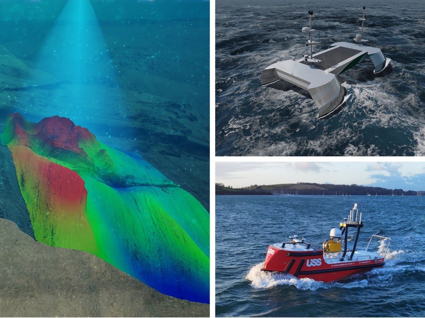
A consortium of Uncrewed Surface Vessel (USV) and hydroacoustic technology companies consisting ACUA Ocean, GeoAcoustics Ltd and Unmanned Survey Solutions (USS) has secured funding under the Defra - Department for Environment Food and Rural Affairs - Improving Observation Capabilities of Biodiversity in UK Waters: Phase 2 programme. The consortium's demonstration seeks to combine three cutting-edge technologies into a single approach capable of providing holistic mapping and water quality data of seagrass meadows more efficiently and with lower carbon footprints compared to current sonar-based techniques.
USS has previously incorporated a GeoSwath 4 sonar system and collaborated with GeoAcoustics on a project aimed at providing fully automated end-to-end bathymetric solutions. This groundwork sets the foundation for the current project. While single-beam echosounders have historically been employed for seagrass mapping, their effectiveness is constrained by their narrow beams, which only survey a limited strip of the seabed per ping. In contrast, this project adopts a strategy leveraging the wide swath capabilities of the GeoSwath system, promising substantial gains in efficiency.
The project will use an advanced interferometric sonar system capable of transmitting sonar beams over 40 times wider than a typical single-beam sonar system, allowing for greater spacing between survey lines and significantly reduced survey times. The GeoSwath 4 bathymetric sonar features an onboard Artificial Intelligence system to automate data processing and extract sea grass height estimates in real-time. Survey and water quality systems will be deployed from a carbon neutral USV to further reduce environmental impact and operating costs.
“Defra is proud to announce its investment in UK SMEs that are advancing next-generation marine monitoring technologies as components of complete end-to-end monitoring systems. These innovative systems are pivotal to advancing our biodiversity observation capabilities in UK waters and will contribute to strengthening our evidence base as we progress towards the UK’s vision for clean, healthy, safe, productive and biologically diverse seas,” said Vicki Castro-Spokes, Programme Director for Defra’s Marine Natural Capital & Ecosystem Assessment Programme.
Project Lead, James Williams, Chief Executive Officer of Unmanned Survey Solutions said, “USS has worked with GeoAcoustics on a variety of projects where we have integrated the GeoSwath wide swath bathymetry system and GeoPulse compact sub-bottom profiler systems. This new project will be a game changer for seagrass mapping efficiency due to the wide seabed coverage from every survey line. Combined with GeoAcoustics new AI processing and ACUA Ocean’s Natural Capital Assessment tool, our ability to transmit raw data to anywhere in the world will give scientists access to real time data, allowing them to make critical decisions during survey operations.’’
Dr Richard Dowdeswell, Chief Commercial Officer of GeoAcoustics Ltd, said, “GeoAcoustics is delighted to be working with both USS and ACUA Ocean on this exciting project which opens up further applications for our proven sonar technology while demonstrating the operational benefits that our new AI solution unlocks.”
Speaking on the announcement, ACUA Ocean CEO Neil Tinmouth said “ACUA has been working on the development of a Natural Capital Assessment tool for aiding the visualisation of holistic ocean habitat data. The project builds on the work conducted by ACUA during Phase 1 of the DEFRA grant. AO has end-user and potential customers already interested in the systems and services delivered during this project.”
SubC Imaging launches new Rayfin Micro 500m ROV camera
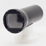
Compact design meets high-quality imaging standards for observation class ROVs.
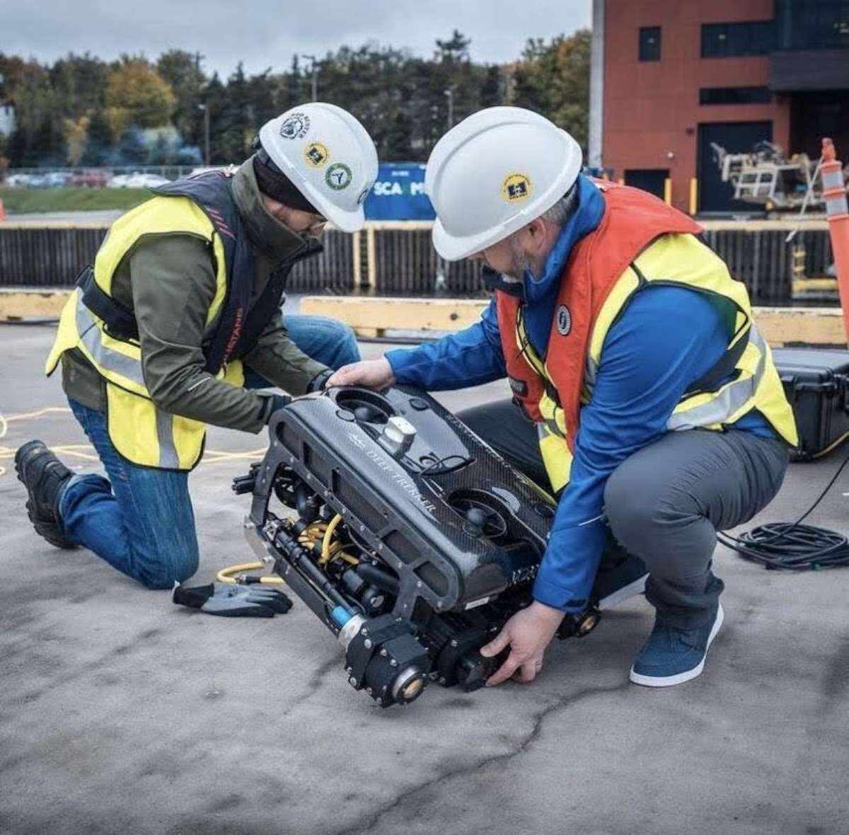
SubC Imaging has just launched a solution designed to redefine compact subsea imaging. Combining cutting-edge technology with a compact form factor, the Rayfin Micro delivers exceptional image quality and versatility for observation class ROVs.
Compact Yet Powerful
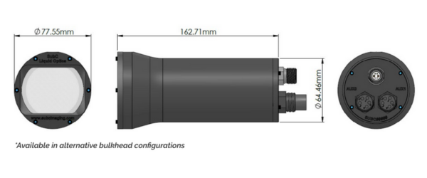
The Rayfin Micro 500m ROV Camera is the latest addition to SubC Imaging's lineup of high-performance underwater cameras. Despite its compact size and lightweight design, weighing less than 500g in water, the Rayfin Micro maintains the exceptional image quality. Its small form factor allows for easy integration into any system, making it the perfect choice for observation class ROVs.
Advanced Subsea Imaging Capabilities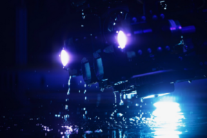
The Rayfin Micro offers comprehensive imaging capabilities for subsea inspections and surveys, featuring real-time digital stills, HD video over Ethernet, annotation, and image enhancement features. Users can access images and video instantly without the need for downloading, ensuring efficient data retrieval. Crucial survey data is logged with precise date and time stamps, while GPS data embedded in EXIF facilitates geo-referenced images. With the ability to transfer digital stills in real-time topside and stream live HD video topside, users can capture essential data effortlessly. The camera's low-latency performance and live image enhancement technology ensure clear visuals, even in challenging underwater environments, guaranteeing reliable and precise imaging for a variety of applications.
Fast and Detailed
Rapid Digital Imaging (RDI) embedded technology is a key feature of the compact camera. Traditional video imagery can miss crucial details, but Rayfin RDI captures a series of high-resolution digital stills that can be zoomed in on to inspect the smallest detail or combined for a complete picture of the object being inspected.
Seamless Integration and Customisation
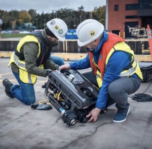
The Rayfin Micro is fully customizable with optional upgrades, including SubC LEDs for strobe and additional lighting, lasers for precise measurements, and a DVR for multi-channel capability. Compatible with SubC's Blackbox for added peace-of-mind, the Rayfin Micro seamlessly integrates with SubC's Real-Time Streaming for live monitoring and remote inspections.
Learn more about the Rayin Micro 500m at subcimaging.com
KONGSBERG to provide maritime surveillance services to Norway
Kongsberg Defence & Aerospace (‘KONGSBERG’) has been awarded a contract from the Norwegian Intelligence Service (NIS) on behalf of the Norwegian government to provide satellite maritime surveillance data to cover Norwegian Areas of Interest.
NIS has the overall responsibility for space operations and development in the Norwegian Armed Forces. The data will be utilized by the Norwegian Armed Forces, as well as other Norwegian government institutions involved in maritime security such as the Coastal Administration, the Directorate of Fisheries, and the Norwegian Customs. The contract covers four years of service from 2025, when the satellites will be launched and operational. The contract value is undisclosed.
The three satellites will be produced by Kongsberg NanoAvionics and equipped with Automatic Identification System (AIS) receivers and detector systems, delivered by Kongsberg Discovery.
The satellites will be owned by KONGSBERG and operated by Kongsberg Satellite Services (KSAT), which will utilize its international network of downloading stations to provide high frequency and low latency surveillance data for both the Norwegian Government as well as international customers.
“We are proud to be able to offer this service for the Norwegian government, as well as future international partners and customers. The delivery of maritime satellite data will enhance KONGSBERG’s total offering in the maritime domain awareness value chain. Through a combination in-house capabilities and subsidiaries, KONGSBERG covers the full value chain to offer the next generation satellite services, from delivering our own micro satellites and ground stations to market-leading data processing and analytics,” said Eirik Lie, President of Kongsberg Defence & Aerospace.
“These three satellites will greatly enhance the maritime surveillance capability in our areas of interest, improve situational awareness for various government institutions and strengthen maritime security in the High North,” said Vice Admiral Nils Andreas Stensønes, Director of the Norwegian Intelligence Service.
The satellite constellation, named N3X, is the first in a series of satellites that KONGSBERG plans to build and operate – optimized to provide the best possible data sets for the users. The satellites will have excess capability outside Norwegian Areas of Interest that will be available for international users.

World’s first over-the-horizon high-endurance USV goes into production
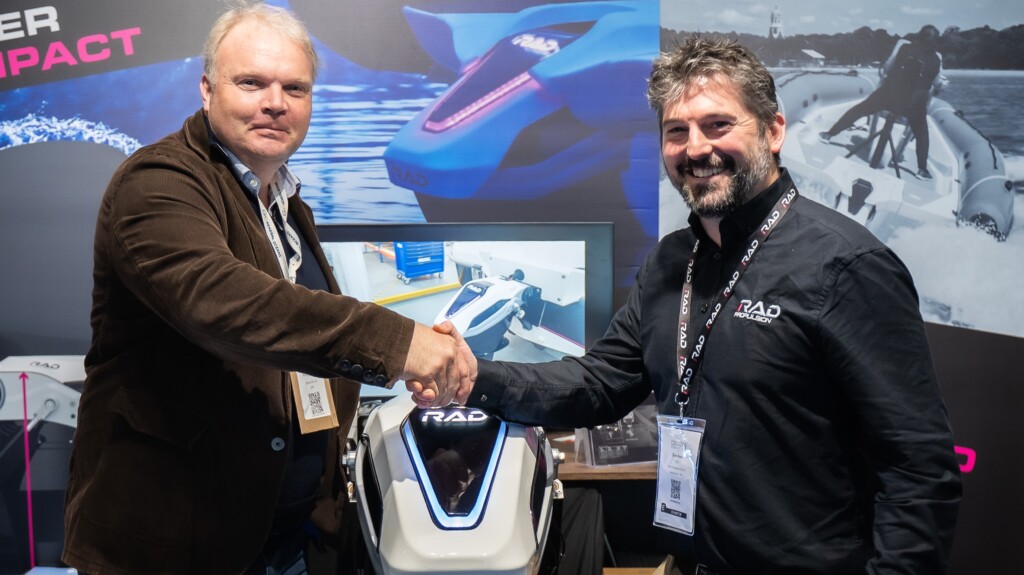
Following a highly successful week at the Oceanology event at Excel, London, where Zero USV confirmed its partnership with marine technology suppliers including electric propulsion company RAD Propulsion, Hexagon, and Navtech Radar for the purchasing of key sensors and equipment in the supply and build of the fully autonomous Oceanus12 class USVs, the company confirms it’s well underway with the build of its first two vessels.
The USVs are being constructed by Manor Marine in Portland, Dorset and managing director, Matthew Ratsey, said: “It’s certainly been a whirlwind few weeks for us since we launched news of the world’s first fully autonomous high endurance charter USV fleet. We are on track to have the first two vessels on the water by this autumn and available for immediate charter following the successful conclusion of trials.
“The first shipment of aluminium is now being assembled, having arrived in Portland, laser cut, formed and bent, and ready for assembly. We are delighted to have reached exclusive supply arrangements with Hexagon who are providing an LD900 GNSS receiver and a survey-grade inertial measurement unit (IMU), in addition RAD Propulsion, who are supplying its state of the art RAD 40 electric propulsion systems including RAD batteries.”
Richard Turner, vice president of sales and marine operations for Hexagon’s Autonomy & Positioning division said: “We are excited to be part of this venture, and helping to take marine autonomy to the next level. Our positioning equipment is designed to be flexible and upgradeable, exactly what Zero USV was specifying when we first spoke about the need for Oceanus12 to operate in all conditions, totally unmanned and with accurate and reliable positioning for diverse marine applications, even within potentially congested waterways such as offshore wind environments.
“Having worked with Matthew and the team on previous projects, such as the fully autonomous Atlantic crossing on the Mayflower, we are certain of its success.”
Oceanus12 has been specifically designed as a versatile platform, with a very wide range of potential applications from surveys and monitoring of critical assets to safety. These include, for instance, geophysical surveying and mapping, offshore oil & gas exploration, renewables exploration and maintenance, through to border control, fisheries science, and defence.
Dan Hook, CEO of RAD Propulsion, said: “Our RAD 40 electric drive system with RADBus architecture makes the ideal partner for this brand new USV. Our team has a strong heritage in advanced marine robot boats for the offshore industry, defence and oceanographic sectors, we are delighted to be working with Zero USV on this project and look forward to seeing it on the water this autumn.”
EvoLogics debuts the new Diver Navigation system
EvoLogics is pleased to announce the official release of its new acoustic navigation system for divers.
The innovative system facilitates map-based navigation for divers on a mission, offering the flexibility of seamless two-way communication between divers and the dive supervision team, as well as pre-mission and real-time waypoint setup.
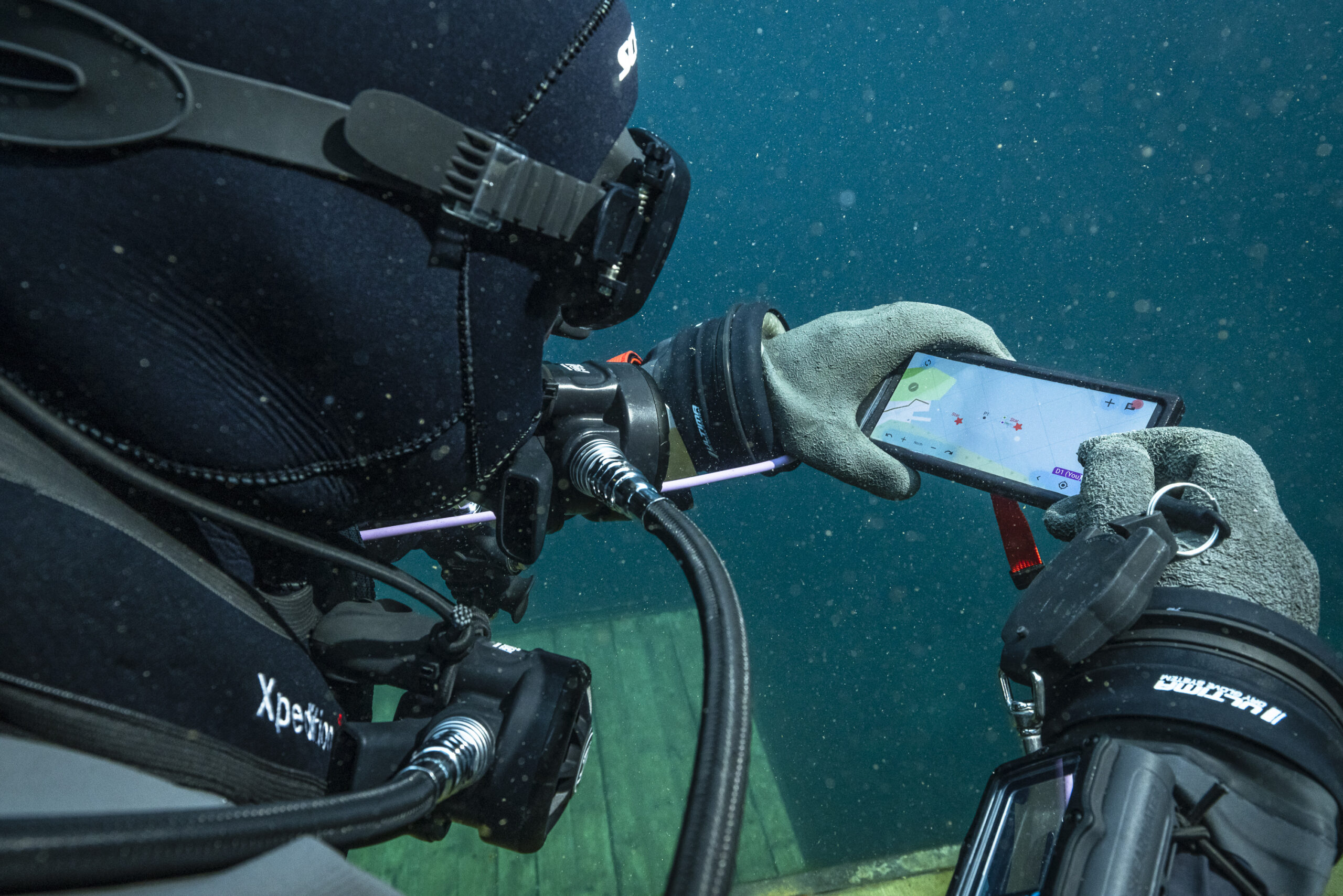
Much like texting on a smartphone, the system allows a team of divers to exchange short messages with each other and the surface, while also providing real-time tracking of each other’s positions. Map waypoints can be added before or even during the mission to coordinate operations, and mark discovered objects or infrastructure for further investigation.
With the new system, EvoLogics aims to streamline complex underwater tasks such as search and rescue, salvage operations, recovery efforts, and cleanup operations. The Diver Navigation system enhances coordination, improves task management, and promotes efficient information sharing, ultimately enhancing the effectiveness of diver operations.
System components
The battery-powered diver tracker unit is compatible with all EvoLogics 18/34 modems and systems. It comes with mounts to attach it either on the diver’s scuba tank or to most of the common underwater scooters. The molded unibody design of the tracker ensures broad compatibility with various diving equipment and facilitates straightforward installation.
The diver console is a compact wrist tablet that connects to the tracker modem by cable. It provides the diver access to the SiNAPS user interface - EvoLogics positioning software visualizing the map of the current operations area, the positions of all divers and the support vessel, and running the text chat tool.
At the surface, the USBL buoy acts as the acoustic node for operations. This device, a mono-unit with a USBL antenna, an integrated PC running SiNAPS positioning software, a dual-antenna GNSS receiver, and a WiFi access point, is designed for mobile scenarios. The Buoy ensures rapid setup and fully supports bidirectional diver tracking and message exchange.
The USBL buoy calculates diver positions using acoustic signals and displays them in the SiNAPS interface for the support team. This capability allows the surface team to monitor diver positions, communicate messages, and adjust mission waypoints as needed. Bidirectional acoustic links ensure that all mission divers have access to tracker positions.
Following extensive testing throughout 2023, EvoLogics unveiled the system at Oceanology International 2024 and is pleased to present a product video showcasing the diver navigation in action.
Impact Subsea appoints Oceasian Technology as overseas service centre in China
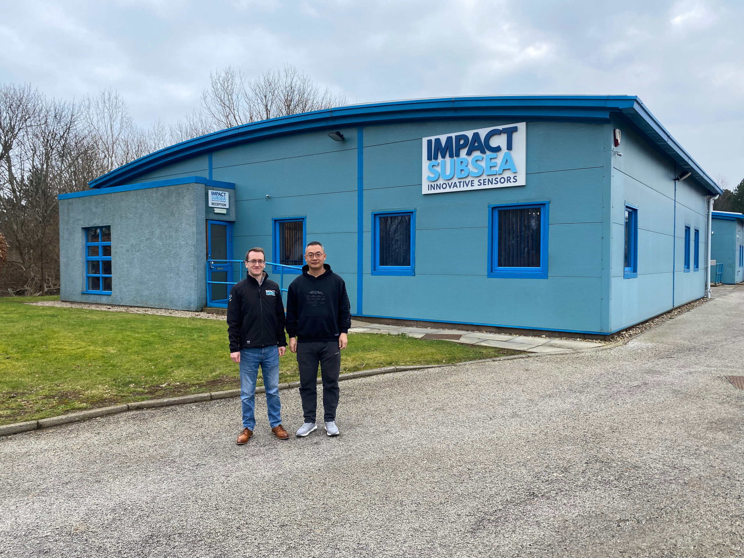
Impact Subsea, a leading designer and manufacturer of underwater sensors, has announced the appointment of Oceasian Technology, located in Guangzhou, China, as its first overseas service centre.
This strategic partnership strengthens Impact Subsea’s commitment to providing comprehensive global support to sensor users.
Oceasian Technology, a trusted distributor of Impact Subsea’s sensors, brings a wealth of experience and expertise to the table. Specialising in the sales and service of marine system equipment, Oceasian Technology caters to diverse markets including scientific research, water conservation and hydropower industries. Their proven track record in not only distributing Impact Subsea’s sensors but also providing exceptional service makes them an ideal partner for this expansion.
“We are thrilled to welcome Oceasian Technology as our first overseas service centre,” said Ben Grant, Managing Director at Impact Subsea.
“Their in-depth knowledge of our subsea sensors, combined with their commitment to offering sales, rental, training and technical support, perfectly aligns with our vision of providing users with the best possible subsea sensor solutions.”
This appointment signifies a significant step forward in Impact Subsea’s global growth strategy. By leveraging Oceasian Technology’s established presence and expertise in China, Impact Subsea will be able to better serve users of their sensors in the region and offer them the exceptional after-sales support, maintenance and repair services they deserve.
Benefits for Both Parties
This partnership is mutually beneficial for both Impact Subsea and Oceasian Technology. Impact Subsea gains a strategic foothold in the Chinese market, while Oceasian Technology expands its service offerings and strengthens its position as a leading provider of underwater sensor solutions in China.
Looking Ahead
With Oceasian Technology as its first overseas service centre, Impact Subsea is well-positioned to continue its global expansion and provide its industry-leading subsea sensor solutions to a wider audience. The company remains committed to supporting its global network of distributors and ensuring exceptional service worldwide.
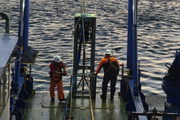
TDI-Brooks completes large survey campaign off New York and New Jersey
Between January 2023 and February 2024, TDI-Brooks conducted an extensive site investigation program in two offshore wind blocks in state and federal waters. The projects involved surveying in excess of 20,000 line-kms of analogue and either single or multi-channel seismic in lease blocks and cable routes along the coasts of New York and New Jersey. Various tasks were carried out at different stages, such as offshore geophysical surveys, UHRS detailed surveys, archaeological identification surveys, light geotechnical coring, and benthic sampling.
TDI-Brooks utilised three survey vessels, namely the R/V BROOKS McCALL, R/V MISS EMMA McCALL, and M/V MARCELLE BORDELON. The geotechnical survey involved over one-hundred and fifty (150) pneumatic vibracores (pVCs) and over one-hundred and fifty (150) Neptune 5K cone penetration tests (CPTs) gathered from both lease areas and along the offshore cable route (OCR). Along with multiple export cable route surveys, a reconnaissance survey covering the entirety of the lease area with 150-meter spaced survey lines was conducted, followed by a more detailed archaeological survey with 30-meter spaced lines. Survey sensors including dual head multibeam sonar, side scan sonar, sub bottom profiler, UHRS seismic, single-channel seismic, and Transverse Gradiometer (TVG) was utilised, all meeting BOEM specifications for archaeological surveys.
The goals, determined by the collected data, were to assess the conditions of the seabed and sub-seabed, which may include potential risks (geohazards or man-made hazards) that could impact the installation of wind turbines and subsea cables in the future. The investigations conducted involved measuring variations in water depth and slope changes, examining the morphology (composition of the seabed and lithology in the formations below in relation to local geology), identifying any natural or man-made obstructions on or below the seabed, such as rock outcrops, channels, depressions, gaseous fluid features, debris (natural or manmade), wrecks, industrial structures, cables, etc., and assessing any shallow geohazards that could affect the sites and future deep geotechnical soil studies within the top 100 meters beneath the seabed.
The collection of data plays a vital role in determining the optimal location and design for offshore projects such as wind farms. The offshore renewable energy industry is experiencing rapid growth, leading to a high demand for TDI-Brooks’ services along both the US East and West Coasts. TDI-Brooks remains committed to supporting the expanding offshore wind sector, as well as various scientific survey initiatives. Despite the strong demand for subsea services and the evolving needs of clients, the company is well-prepared to offer a comprehensive range of offshore support services. These include subsea operations, construction support, exploration and production assistance, ROV and diving services, scientific marine research and survey mapping, and even military support.
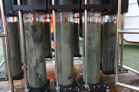
Improving sample preservation with OSIL Multiple Corers
Traditional benthic samplers such as box corers must be deployed with sufficient momentum to ensure penetration of the seabed. This creates a bow wave that will disrupt the surface layer of the seabed before the corer is able to collect a full sample.
The Multiple Corers available from world-leading seabed sampling experts Ocean Scientific International Ltd (OSIL) are able to overcome the traditional difficulties associated with benthic sampling and collect truly undisturbed sediment samples. The multiple corers are landed on the seabed at slow speed which, in combination with the minimal footprint of the corer, prevents a bow wave from forming and driving away the delicate flocculant material that forms on the surface layer of the seabed.
The penetration speed is controlled by a hydrostatically damped piston & central weight system which enables up to 12 core tubes to be slowly driven into the seabed at a consistent rate. The core tubes are automatically sealed top and bottom immediately on commencement of the recovery process (using a hydrostatic seal at the top, and a mechanical seal at the bottom), capturing a pristine sediment sample together with the overlying supernatant water, and allowing the corer and samples to be rapidly recovered to the vessel without compromising the integrity of the sample. The transparent cast acrylic core tubes are removed individually and can be subsampled immediately or treated/preserved for later study.
The delicacy of sampling of these corers has meant that their standard use is specified in a number of Environmental Impact Assessment studies, such as the Exploration and Exploitation Licensing procedures for marine mineral extraction, in addition to academic studies of the microbiology and flora/fauna of shelf and deep-sea sediments & analysis of the associated processes.
The Multiple Corers can be configured to accommodate varying numbers of core tubes, and delivery times for the corers and spares kept low, meaning even last-minute cruises are well supported, with systems remaining in constant use for many years.
OSIL have an abundance of global experience in the construction and operation of a wide range of sediment coring equipment, including the industry standard Multi Corer and the unique Giant Piston Corer which is capable of achieving cores up to 60m in length. OSIL also offer a full design, build and implementation service for all of their heavy offshore equipment.
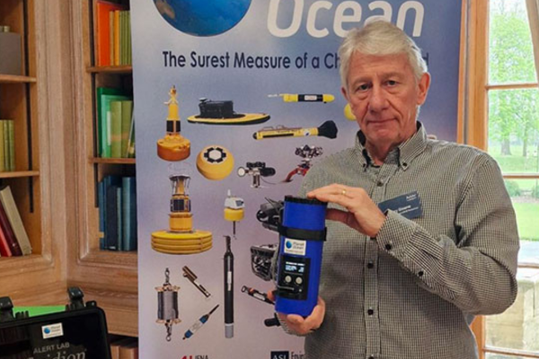
Fluidion Alert-One used to inform the University Boat Race organisers
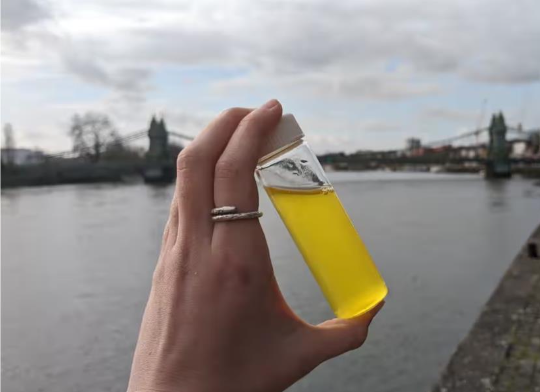
The New Alert-One portable E.Coli system from Fluidion has been used by the Rivers Action Group to monitor the river Thames in advance of the forthcoming annual university boat race between Oxford and Cambridge on the Thames in London.
Their monitoring over several days showed average E.Coli levels of 2,869 E coli colony forming units (CFU) per 100ml of water in 16 tests around Hammersmith Bridge, which is just short of halfway along the 4.25-mile Boat Race course.
The tradition of the winners jumping into the river will probably not be a great idea this year.
The report in the Guardian Newspaper tells the whole story here.