

Blue Ocean Marine Services receives additional Autonomous Underwater Vehicle (AUV)
Blue Ocean Marine Services (BOMS) have recently purchased an additional L3Harris Technologies Iver3 Autonomous Underwater Vehicle (AUV) to support their expanding survey operations in Australian and Asian markets.
Keith Wallace, General Manager of BOMS, stated: “Based on performance and recent project successes, we have procured and now received our second Iver3 AUV to compliment the expanding range of innovative technologies we operate and the services we can provide. The addition of a second system significantly lowers project risk providing full equipment redundancy whilst increasing our efficiency in the field. This innovative unmanned technology directly challenges traditional survey and inspection techniques, delivering highly accurate data with significant reductions in project cost, time and risk. The Iver3 AUV is robustly engineered, capable of operations to 200m depth, and is one of the smallest and lightest on the market allowing for deployments from smaller vessels or directly from the shore.”
BOMS Operations Manager, Andrew Mercer added ”Our systems are equipped with dual-frequency (600/1600kHz) side-scan sonar combined with an interferometric phase differencing bathymetry system (600kHz), integrated digital cameras, multi-parameter water quality sondes and extended payload sections permitting the addition of a wide range of additional sensors. The AUVs are particularly suited for pipeline and field infrastructure inspections, but have recently proven their capability for a number of applications including cable route surveys, produced formation water discharge studies, water quality monitoring and benthic habitat assessment. The size and practicality of the systems allows for rapid mobilisation and demobilisation which has opened opportunities in emergency response, and locally here in Western Australia in post-cyclonic infrastructure assessment.”
BOMS is a Joint Venture between Blue Ocean Monitoring and The Vertech Group. With a strong management team and a clear vision, the company is truly committed to drive positive change across the offshore industry by working in collaboration with clients and partners to increase efficiencies and lower costs. With a combination of unconventional thinking and decades of experience, they provide highly effective offshore survey solutions using leading-edge autonomous (unmanned) survey platforms and sensors.
For further information please get in touch here: [email protected] or visit www.blue-ocean.com.au
@BlueOceanMar1

Kongsberg Maritime launches new cNODE MiniS transponder with pressure sensor
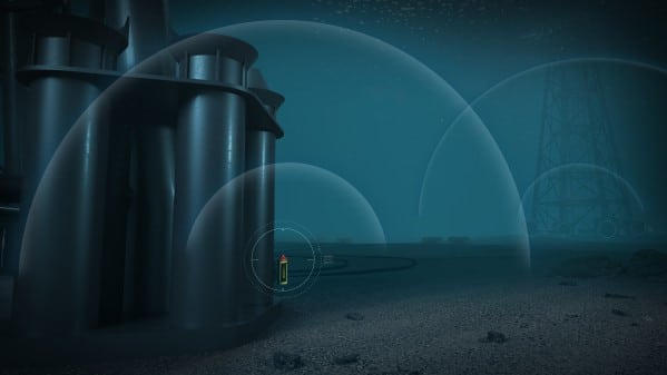
Kongsberg Maritime is pleased to announce that it has augmented its range of cNODE MiniS SSBL (Super Short Base Line) and LBL (Long Base Line) transponders with new models incorporating an internal, high-accuracy strain gauge pressure sensor.
The new transponder units are designed primarily for positioning ROVs, AUVs and towed bodies, and are also well adapted for operations where additional depth data or depth aiding is required, such as when locating subsea structures. This makes them particularly useful for windfarm installation support applications.
A range of models with different pressure sensors are available to maximise the accuracy of the reading. The 100m-rated unit would be best suited for windfarm installation, while the 1,000m- and 4,000m-rated units are ideal for use in contexts such as subsea construction, deep-water research, towfish tracking and AUV missions.
Pressure sensor data can be simultaneously reported on the back of the SSBL navigation reply pulse with no requirement for additional telemetry. The new transponder shares its specification with standard MiniS models and is fully compatible with HiPAP, µPAP and cPAP medium-frequency underwater positioning systems, using KONGSBERG’s Cymbal wideband acoustic protocol and FSK (Frequency-Shift Keyed) signalling. Configuration is carried out via an RS-232 connection or acoustic telemetry.
“Our cNODE MiniS transponders have attained a very solid reputation for the enhancements in accuracy and operational safety they have helped to establish in a broad variety of important functions,” says Erik Bjerke, cNode Product Line Manager, Kongsberg Maritime, “and the new units are destined to bring that same vital level of detail and reliability to an even wider range of applications.”
For more information visit: www.kongsberg.com
Sonardyne’s SPRINT-Nav reaches new heights of capability
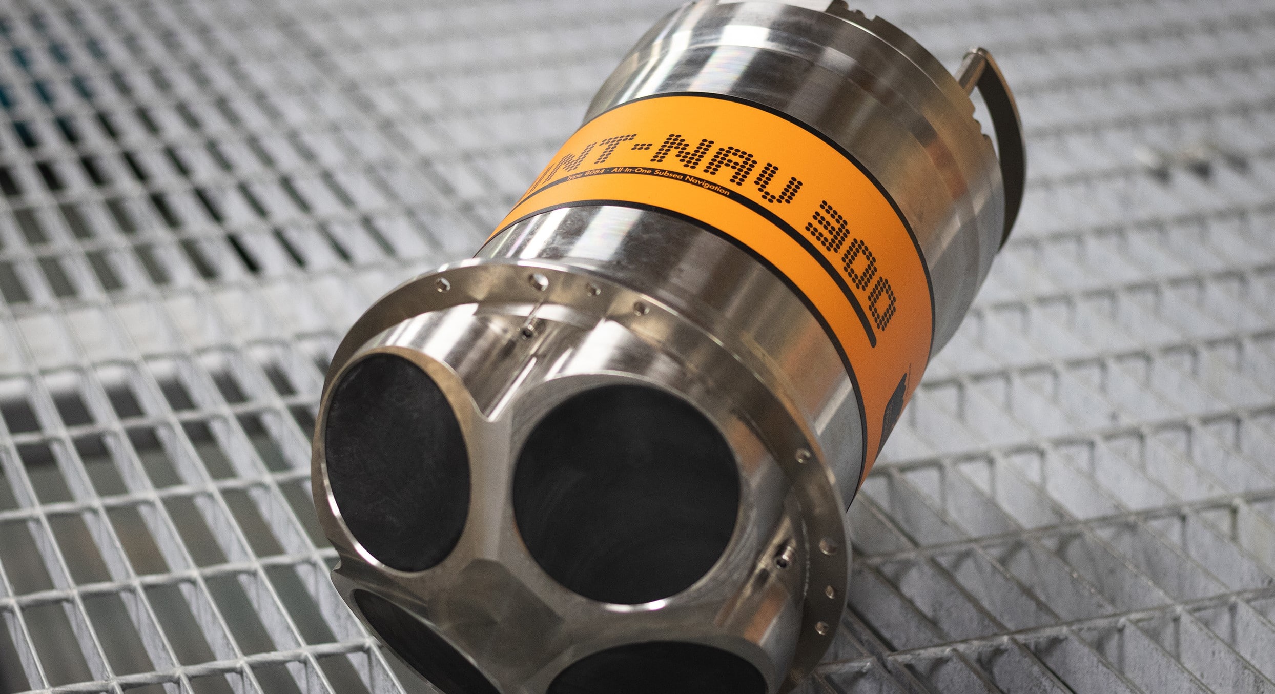
Marine technology specialist Sonardyne has released a new high altitude variant of its market leading hybrid navigator SPRINT-Nav to allow uncrewed surface vessels (USVs) and underwater vehicles to extend their operational envelope.
SPRINT-Nav tightly integrates a Sonardyne SPRINT INS, Syrinx DVL and a highly accurate pressure sensor into a single high-performance solution providing navigation and optional acoustic Doppler current profile (ADCP) functionality. Sonardyne’s new variant takes this capability to an even higher level; increasing the altitude at which vehicle platforms can work when they don’t have an external position reference, without compromising accuracy.
Operating at 400 kHz, the high altitude variant achieves reliable bottom lock at up to 230 m altitude above the seabed, providing USVs with a highly accurate and robust navigation source, which is critical for, as an example, station keeping applications in coastal surveys where GNSS could be denied or subject to interreference. Installation of the new SPRINT-Nav variant on autonomous underwater vehicles (AUVs) and remotely operated vehicles (ROVs) allows inspections and surveys to be performed at even higher altitudes than previously possible. In addition, the instrument’s optional ADCP functionality has been extended to 120 m, adding oceanographic data gathering and increased operational capability.
For more information visit: www.sonardyne.com
Kongsberg Maritime to launch next generation HUGIN Endurance AUV
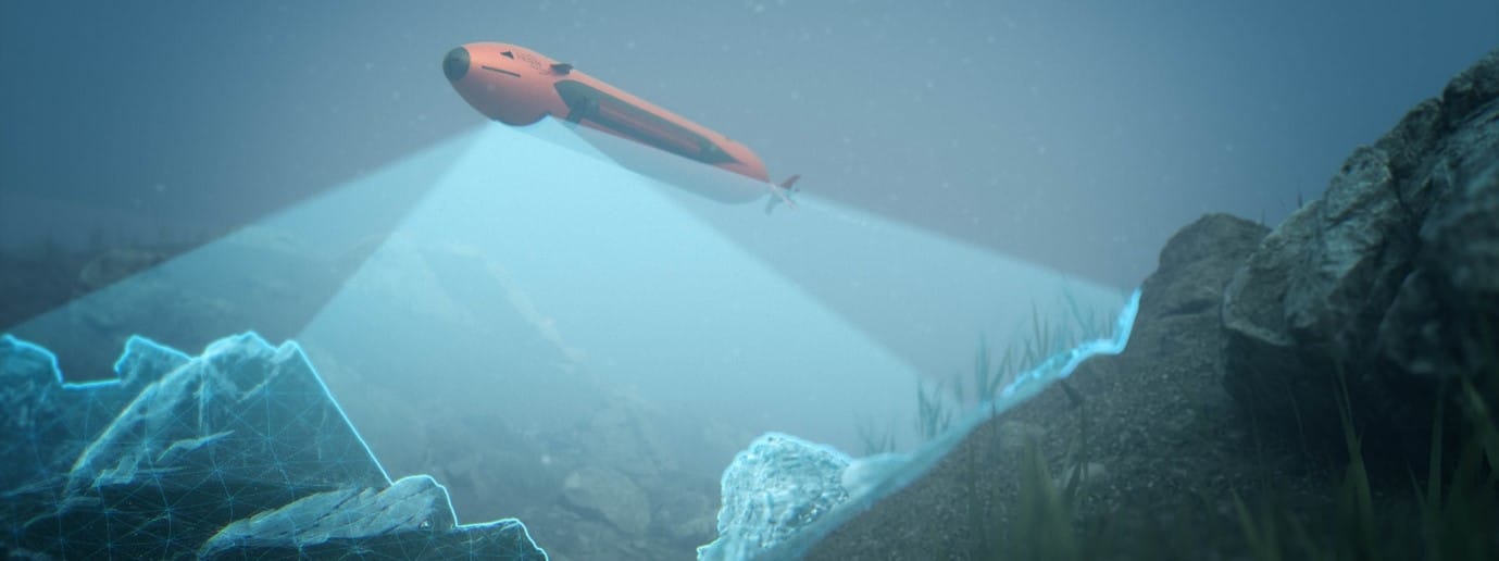
Kongsberg Maritime is proud to announce the next generation of its advanced HUGIN Autonomous Underwater Vehicle (AUV). Named HUGIN Endurance, the new AUV boosts operational duration to approximately 15 days, enabling extended survey and inspection missions far from shore.
This longevity allows HUGIN Endurance to undertake extensive missions without the support of a mothership. Shore-to-Shore operations offer the opportunity to reduce carbon footprint for commercial activities and yet retain unrivalled data resolution and accuracy. With this in mind, KONGSBERG has added its Maritime Broadband Radio (MBR) communications system to HUGIN Endurance’s payload, allowing it to surface and share large quantities of data swiftly with any suitably equipped installation, such as another vessel, shore station or a wind turbine fitted with an MBR antenna.
For defence applications, HUGIN Endurance makes persistence a reality. Whether it is long range military survey; wide area mine detection, classification and identification; or even patrolling a choke point listening for submarines, this new extended range capability offers new solutions to existing and future challenges.
HUGIN AUVs already set the standard for autonomous underwater operations thanks to their rugged reliability and accurate, cutting-edge sensor payloads. The HUGIN Endurance is no exception; it can be equipped with a wide array of sensors including the high-resolution KONGSBERG HiSAS synthetic aperture sonar, a wide swath multibeam echo sounder, sub-bottom profiler and magnetometer, together with other sensors to detect parameters such as methane, current and turbidity.
This proven portfolio of hydroacoustic sensors, communications and other technologies – teamed with unparalleled operational range – ensures that HUGIN Endurance is well equipped for advanced situational awareness scanning, and mapping/inspection activities for far-field applications such as offshore wind farms. It also delivers significant sustainability benefits, not only when contrasted with conducting operations from surface vessels but also compared with other AUV operations, as the reduction in the need for surface support further diminishes the environmental footprint.
“We are proud to launch HUGIN Endurance, which represents a step change in AUV operations,” says Richard Mills, Vice President of Marine Robotics Sales, Kongsberg Maritime. “Teaming long endurance with large area coverage capabilities allows a single AUV to map areas up to 1,100 square kilometres in a single mission – a target impossible until now. With its unprecedented long-range capability and advanced communications, HUGIN Endurance sets a new standard for autonomous subsea mapping and inspection, yielding unmatched operational flexibility, efficiency and sustainability.”
For more information visit: www.saltwater-stone.com
EvoLogics releases SiNAPS 2, the upgraded acoustic positioning software
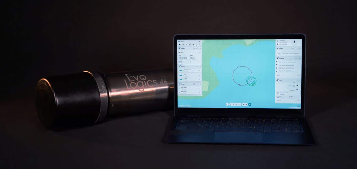
EvoLogics team is excited to announce the release of SiNAPS 2, the newly upgraded underwater acoustic positioning software.
Rebuilt from scratch, it comes with a more powerful and efficient data engine with improved positioning accuracy. The updated user interface and intuitive workflows allow for easier onboarding and system integration.
SiNAPS 2 is both powerful and flexible - it supports USBL, LBL, and advanced hybrid positioning methods. The software is intuitive and fast to configure even for complex scenarios and comes with built-in system calibration tools. With SiNAPS, it is possible to manage multiple databases and maintain separate data sets. Automation options and advanced data fusion strategies are available for demanding application tasks.
Real-time multiple target tracking is combined with data input from multiple sensors. SiNAPS is capable of real-time output of positioning and sensor data for custom forwarding and processing.
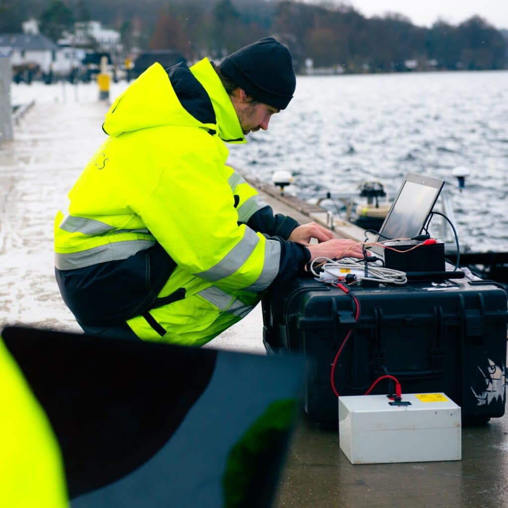
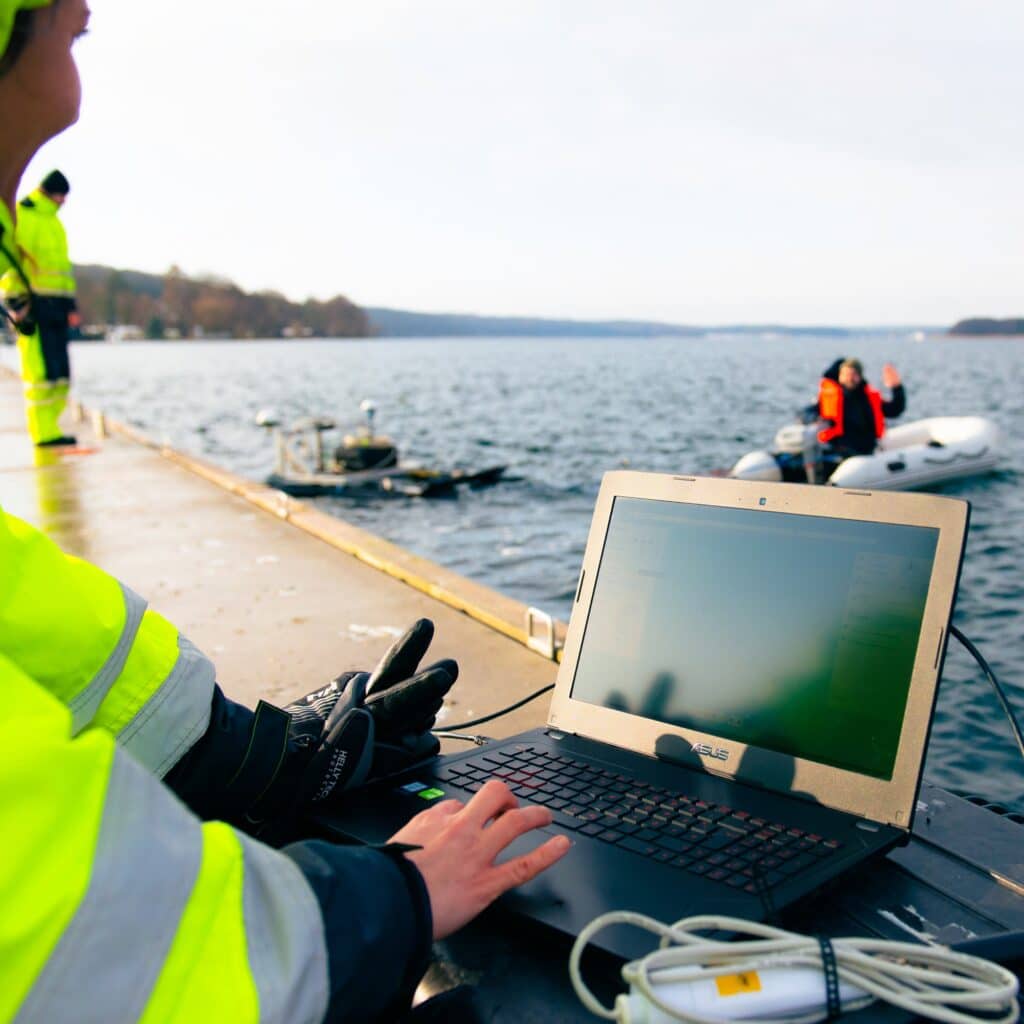
Its web-based user interface allows using SiNAPS on any device in the local computer network; the extensive display tools include the new option to visualize acoustic communication, as well as adding online and offline background maps.
SiNAPS 2 is fully compatible with the whole range of EvoLogics underwater acoustic modems and USBL devices that support simultaneous tracking and bidirectional communication. The software is available from EvoLogics starting February 1, 2021.
For more information visit: EvoLogics.de
International Submarine Engineering (ISE) completes phase 1B of autonomous AUV docking testing
International Submarine Engineering Ltd. (ISE) has successfully completed the second stage in the autonomous dock prototype project. This project is a joint project between Dalhousie University and ISE with funding provided by Innovation for Defence Excellence and Security (IDEaS).
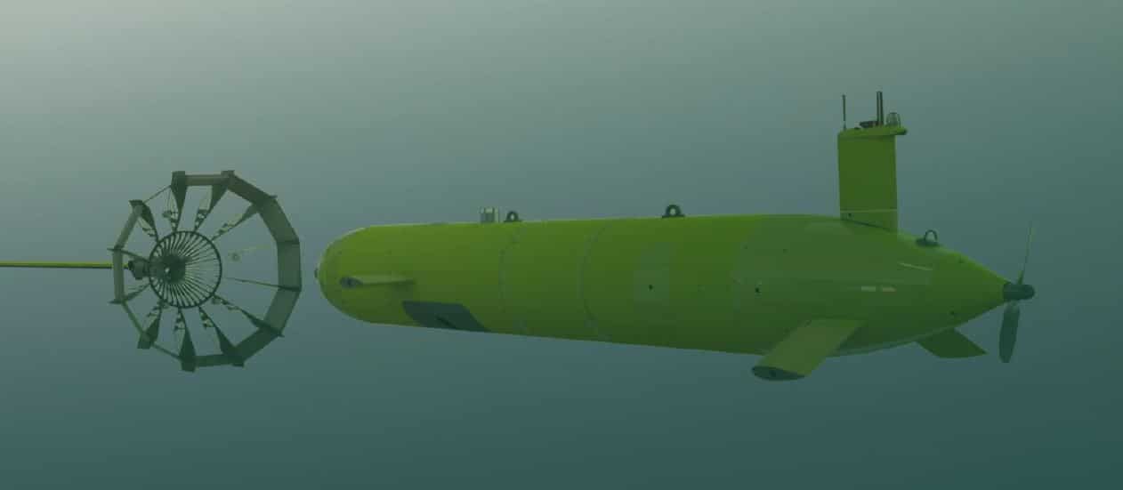
The dock provides a platform for an AUV to autonomously latch onto while remaining subsea. Once latched, the AUV can then charge its batteries and download the data for the operators. Then once that is complete, the AUV can unlatch and begin its next mission. This essentially eliminates the risks of launching and recovering during rough sea states as well as greatly reducing the amount of downtime between missions.
The purpose of phase 1b was to develop a prototype and prove the concept in a real-world subsea environment using the ISE Explorer AUV and the new dock prototype. At a distance up to 90 meters, the AUV uses multi-beam sonar to align itself with the dock and navigate towards the target. Once it is within a range of 10 meters, the AUV automatically switches to camera tracking and homes in on the light array on the dock. Over a period of 10 days the dock was put through extensive testing in highly turbid water and fully autonomous connections were being made between the AUV and the dock with resounding success.
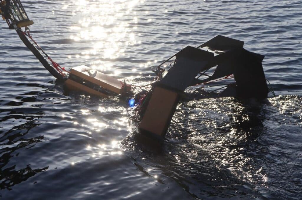
There are many options for the next stage of this project though the current focus is to include an un-crewed surface vessel to tow the dock with a towed listening array on the AUV as part of the persistent maritime surveillance scope. Adapting the dock to allow for launch and recovery opens a lot of possibilities for the technology in other applications.
The success of this project thus far highlights the experience and expertise ISE has acquired in over four decades of work in the subsea marine industry. ISE will be releasing updates to this project on its website, check the following webpage: www.ise.bc.ca/product/dock.

SITECH Gulf to Represent Teledyne Marine in the Middle East
Teledyne Marine is pleased to announce that they have contracted with SITECH Gulf to serve as their exclusive distributor in the U.A.E., Oman, Qatar, Bahrain, Kuwait, Saudi Arabia, Jordan and Egypt, and official distributor in select North African countries to represent their full line of marine products for civil engineering, offshore energy, and oceanographic applications. This agreement represents the first time that Teledyne Marine has appointed a single entity to represent their full spectrum of marine products spanning their instruments, imaging, vehicles, and interconnect technology verticals.
Mike Read, President, Teledyne Marine shared, “This agreement illustrates Teledyne Marine’s commitment to expanding our presence in this region and to advancing our leading-edge marine technology solutions across multiple markets.”
Ted Germann, Teledyne Marine’s Vice President of Emerging Markets adds, “Teledyne Marine enables SITECH Gulf to significantly expand their marine portfolio. As existing dealers for Trimble Marine Construction Software (TMC) and Trimble controls, the addition of Teledyne Marine will allow SITECH to now offer their customers and partners in the middle east and North Africa complete underwater packages, delivering “Eyes Above and Below the Water” with real-time Teledyne sonar verification.”
John Taylor, COO of SITECH GULF states, “We are extremely excited to have been chosen as the dealer of Teledyne Marine products in the Middle East and North Africa markets. The combination of Teledyne plus Trimble makes SITECH Gulf a one stop shop for technology unrivaled in the MEA region, and even worldwide, for the land and now marine. Building on our success in promoting technology on land and marine construction projects, this new cooperation with Teledyne is a perfect fit to expand that success to further offshore and to under the sea.
For more information visit: www.teledynemarine.com
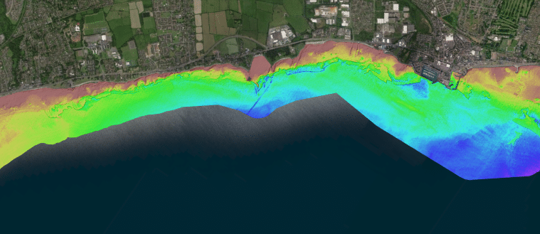
Fugro achieves UK first with RAMMS bathymetric lidar technology
Fugro has won a contract to capture bathymetric lidar of Northern Ireland’s coastline as part of a project from the Department of Agriculture, Environment and Rural Affairs (DAERA) to create a detailed 3D elevation model of the coast. The nearshore survey will acquire satellite-derived bathymetry (SDB) data and, for the first time in the UK, Fugro will use their innovative Rapid Airborne Multibeam Mapping System (RAMMS) to collect lidar bathymetry data.
Coastal flooding is a global concern due to rising sea levels and an increase in extreme storm events. To identify areas most at risk of coastal erosion and marine flooding, and those that may be under future threat, DAERA has commissioned a baseline study of Northern Ireland’s 763 km of coastline. The resulting 3D model will help to inform policy makers, coastal managers, terrestrial planners, marine planners and other interested stakeholders.
Work on the project started this month and Fugro’s hydrographic experts are acquiring the SDB data in cooperation with EOMAP, the world’s leading company for optical remote sensing of aquatic environments, using their remote sensing technology to map the seabed along the entire coastline to a depth of approximately 10 m. They will also mobilise Fugro’s lightweight RAMMS sensor, which can be operated from small aircraft or an uncrewed aerial vehicle (UAV), to capture high-resolution data of a pilot area to depths of three times the visual water clarity. For nearshore projects, these technologies have many advantages over the multibeam echosounder systems used on traditional survey vessels, including faster rates of data capture, less time spent on site, and reduced technical and safety risks.
Huug Haasnoot, Fugro’s Director for Land Asset Integrity in Europe and Africa, said: “Our remote sensing solutions are ideal for mapping complex coastlines and will greatly add to DAERA’s understanding of coastal erosion and wave action in Northern Ireland. This project is also a great opportunity to utilise our RAMMS technology, already proven throughout North America and the Caribbean, for the first time in UK to capture high-resolution bathymetry data.”
For more information visit: www.fugro.com
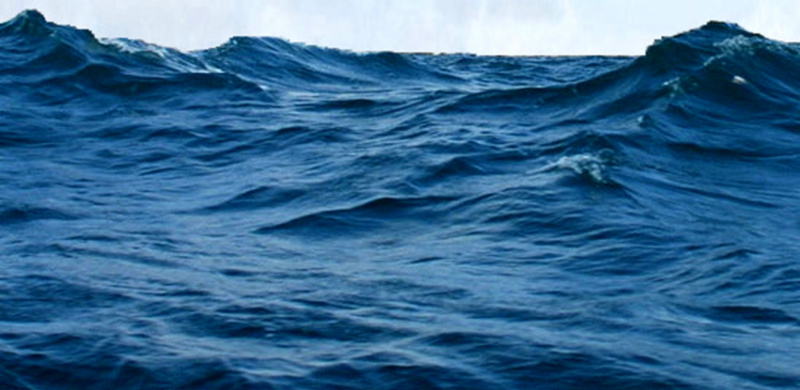
ASL Environmental Sciences Presents ClearSignal Antifoulant Coating by Severn Marine Technologies
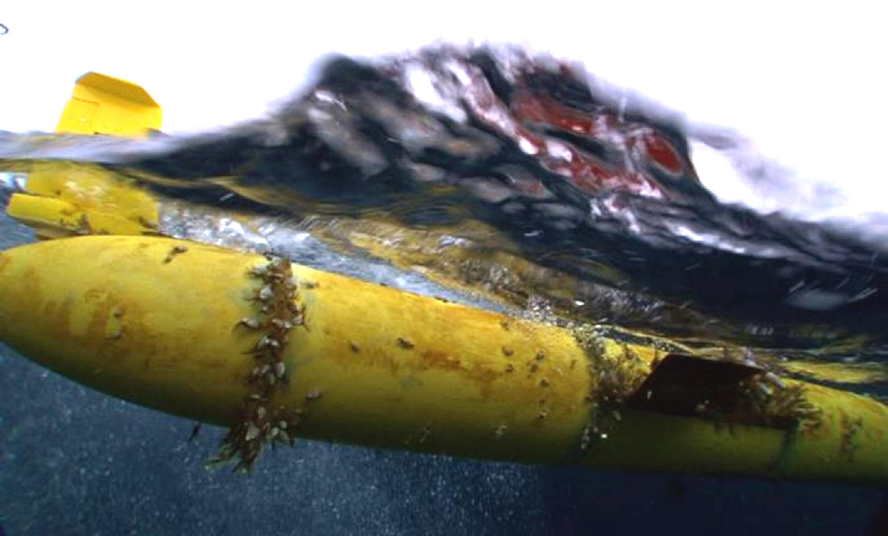
Biofouling in marine environments is one of the primary limiting factors that will determine the deployment duration of platforms and instrumentation and dictate the service schedule that is required. ClearSignal, manufactured by Severn Marine Technologies, is a clear, non-toxic coating, that resists biofouling. The product acts as a durable, permanent, foul-release coating that is designed to last the life of the equipment it is protecting. Its effectiveness is a result of the non-stick properties of the materials in the proprietary coating. Unlike traditional antifouling systems which rely on active biocides and whose effectiveness degrades with time, ClearSignal retains its effectiveness over time.
For over a decade, Severn has installed the ClearSignal coating on platforms and instruments deployed around the world from a large number of leading marine product manufacturers. ASL has used this product to coated several of our Acoustic Zooplankton and Fish Profiler (AZFPs) instruments on behalf of customers who anticipate deployment in waters known for significant biofouling. We have also been using ClearSignal for ten years of continued deployment on Teledyne RDI Horizontal ADCPs with great success in a challenging biofouling environment.
Through thorough testing, ASL and other manufacturers of underwater acoustic instruments have found that the ClearSignal coating does not significantly affect the signal strength of the device. Furthermore, the coating acts to protect the transducers from damage due to biofouling and extends the lifespan of the instrument. The use of antifoulants can increase deployment times and reduce the required frequency of service due to biofouling. It will also greatly reduce the effort and downtime that is required to clean the equipment and return it to service.
ASL has a long history with Severn Marine Technologies and is proud to act as the designated representative for the ClearSignal product across Canada.
For more information visit: www.aslenv.com

Protecting vulnerable assets with OSIL Oil spill monitoring systems
Potential exposure to, or discharge of, hydrocarbons is an increasingly prominent and crucial environmental and operational concern for many. Tighter controls on oil detection place a high demand on quality real-time data being immediately available at the click of a button. Innovative environmental monitoring systems manufacturers Ocean Scientific International Ltd (OSIL) produce a wide range of continuous monitoring systems for uninterrupted hydrocarbon detection, and have supplied these to facilities across the globe.
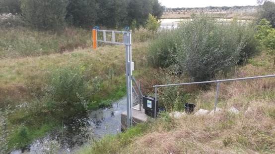
The low maintenance oil spill monitoring systems available from OSIL can be terrestrial or aquatic (using moored floating buoy platforms or fixed stations in shallow waters), and individual systems can be networked together to cover multiple locations, with a single secure login or shared webpage available to view all data. These systems can detect a variety of hydrocarbon-based substances, even under harsh weather conditions. The systems can also be equipped with additional sensors (for water quality parameters, current monitoring, meteorological conditions, etc.).
OSIL can provide data and alarms from the installed sensors directly to internet-enabled devices from any location with telemetry coverage. The secure data access portal has a customisable display with powerful visualisation tools, and scheduled reports can be shared securely over FTP or email, or live data can be accessed using a password protected direct URL link. A unified alarm system allows alerts to be sent via email and SMS, and the data portal will display the alert and the data that prompted the trigger on login. Alerts to issues with data collection and/or battery charging can also be incorporated into the appearance.
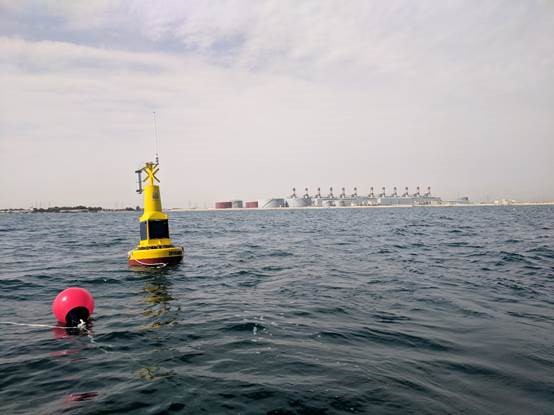
A multitude of oil spill monitoring systems have been now been deployed worldwide by OSIL, to protect a variety of sensitive assets including the intakes for sea water abstraction facilities, nuclear power plant cooling systems and industrial manufacturing facilities. OSIL engineers can provide customers with an installation service complete with full training in the operation and maintenance of the equipment and on-going system support.
For further information or sales enquiries please contact: [email protected] or call +44 (0) 2392 488 240